 Hiking
Upper Pleasant Creek Gorge
Hiking
Upper Pleasant Creek Gorge
Capitol Reef
Overview
One of the things I love about Capitol Reef National Park is the variety of hikes to do. Having visited the park countless times, I also love the fact that there are still amazing hikes I have yet to discover! Pleasant Creek Gorge is one of those gems in the park that sees little attention.
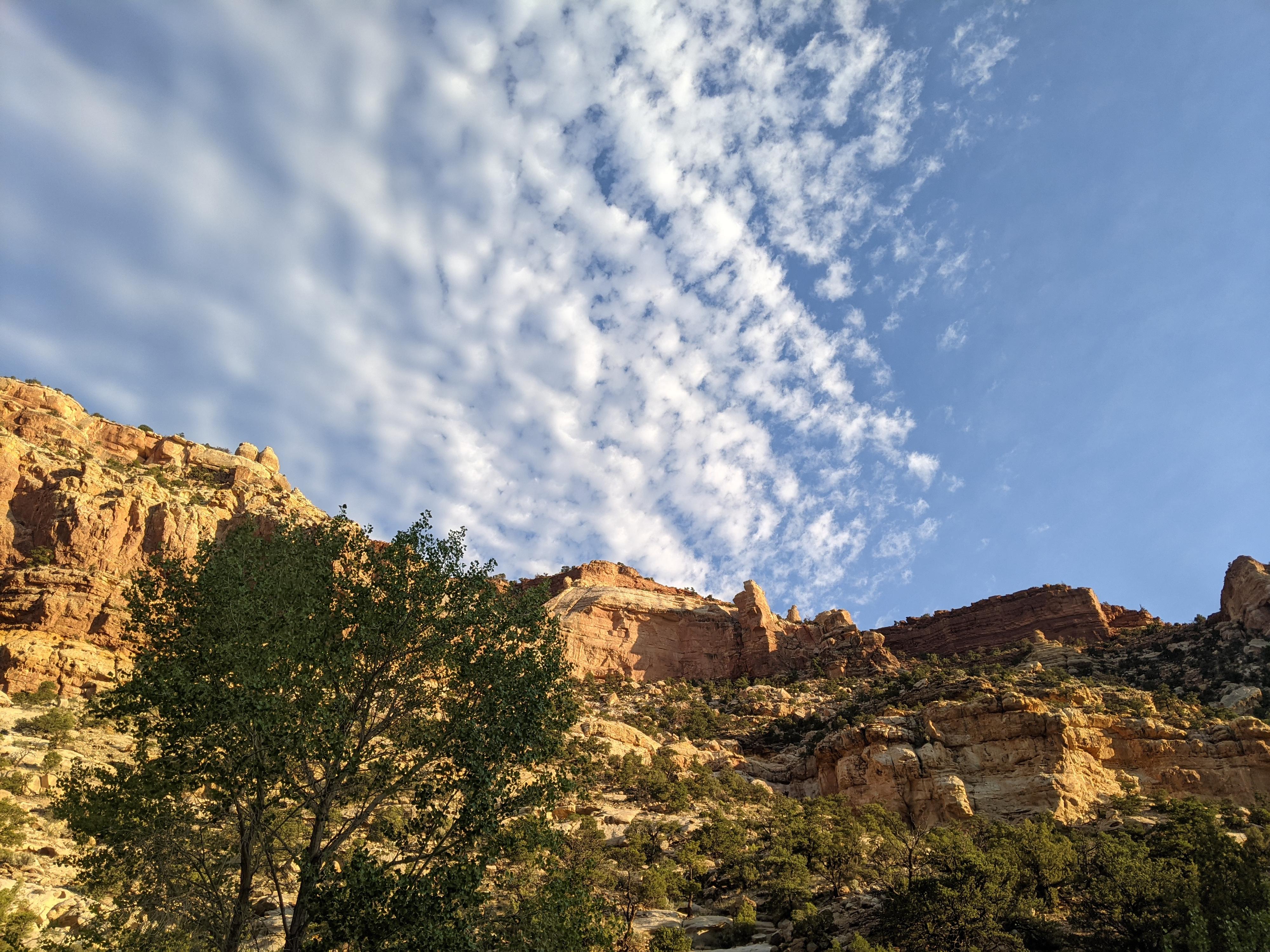
The hike starts in open desert, then winds its way through a dramatic gorge following Pleasant Creek up stream. The gorge was originally used as one of the paths connecting the summer range high country of Boulder Mountain to the lower winter desert country. This is evidenced in the gorge by an old trail/road that is followed for most of the hike. There are also old telephone poles, now cut down, as evidence this was a very old connection point between disparate places.
The gorge is lovely, and those looking for 3+ mile hike can amble up into the gorge as far as motivation allows and return as desired. A longer 8.5-9ish mile outing visits the full gorge as well as lower Pleasant Creek Falls. The full hike is my strong recommendation. It is stunning, and the babbling companion of Pleasant Creek makes it a reasonable option even on warmer days.
Getting There
From the Capitol Reef Visitor Center, follow the Scenic Byway. At about 1.6 miles is the pay booth. At 7.9 miles, stay right. (Left is Capitol Gorge, there is a picnic area at this junction.).
The scenic drive is now dirt, but should be accessible by most vehicles. At 10.65, after passing the research station on the left, and a pullout on the right, there is a side road on the right with a fence and "no motor vehicles" sign. Continue past this a few hundred feet to a parking area and pit toilet on the right. Walk back from the parking are to the spur road to start the hike.
Route Description
Follow the closed to motor vehicles road west through the fence. In about a mile, the road begins entering the gorge, eventually becoming washed out to the point it is more of an intermittent trail. This is where the gorge starts. From where the road ends, crisscross the stream. The old path is usually easy to find and follow. It is worth the effort to try and stay on it.
About 1/3 of a mile past the end of the road, keep an eye out for an old shelter dug into the cliff face on the right. It appears to have been used for storage but doesn’t appear to be a mining relic.
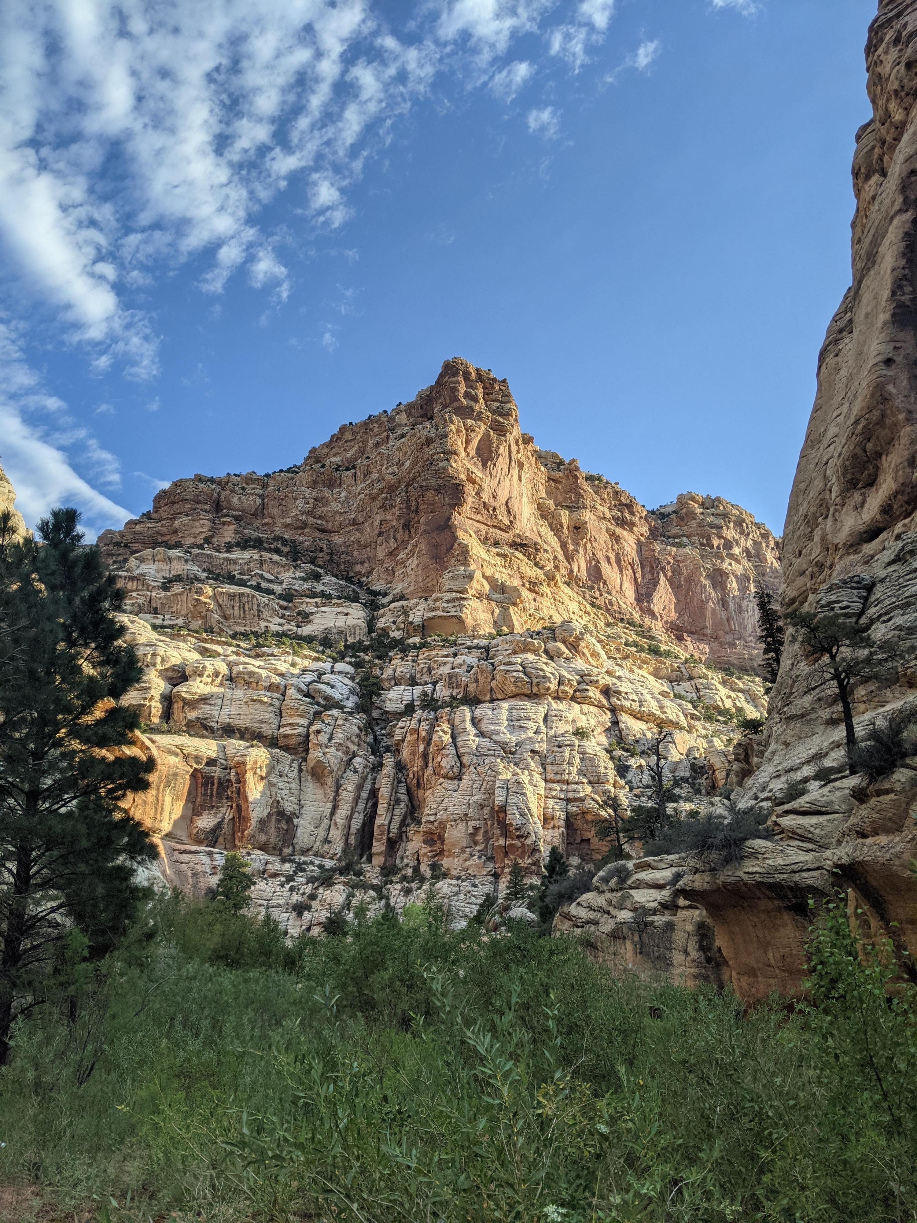
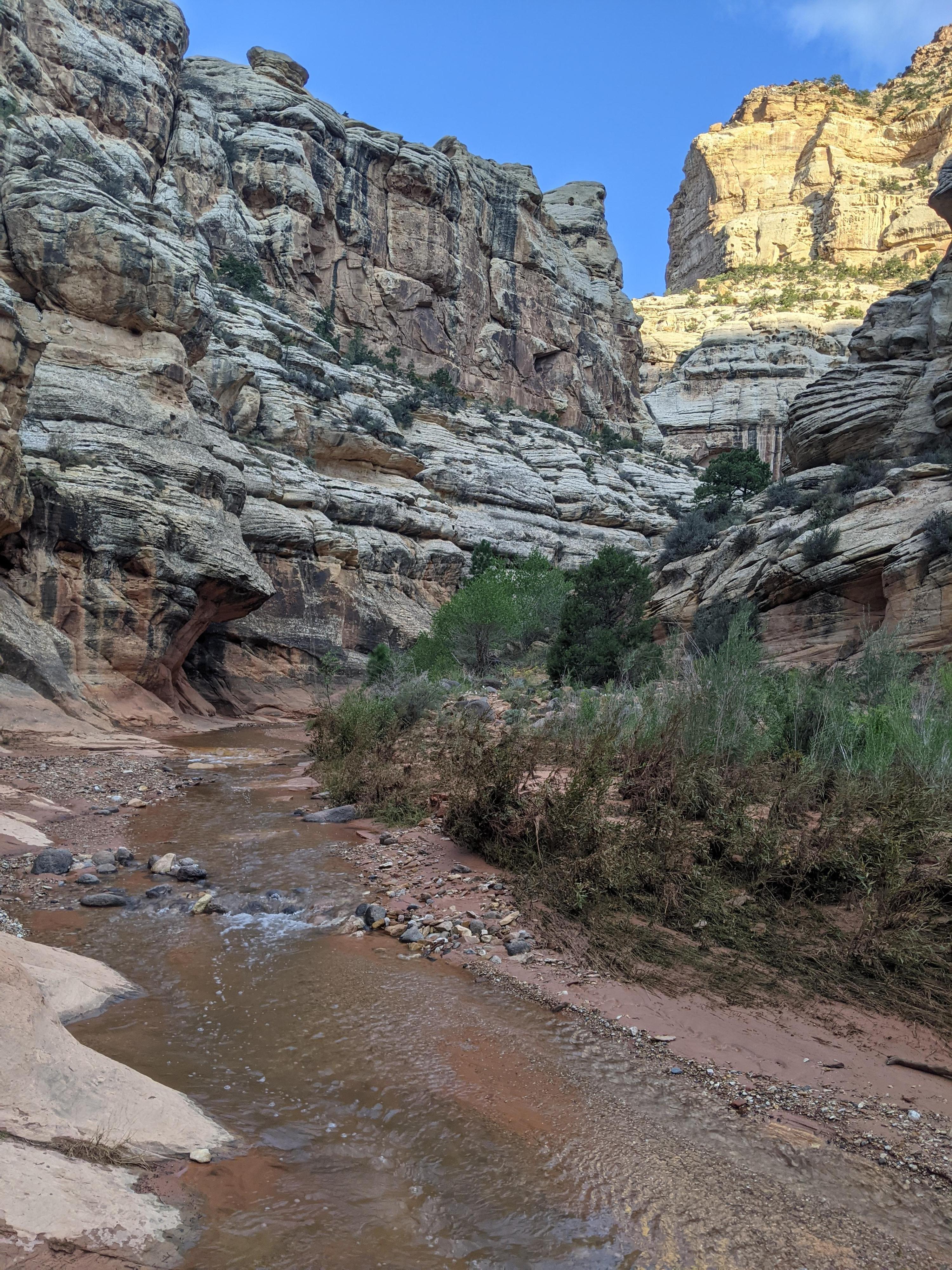
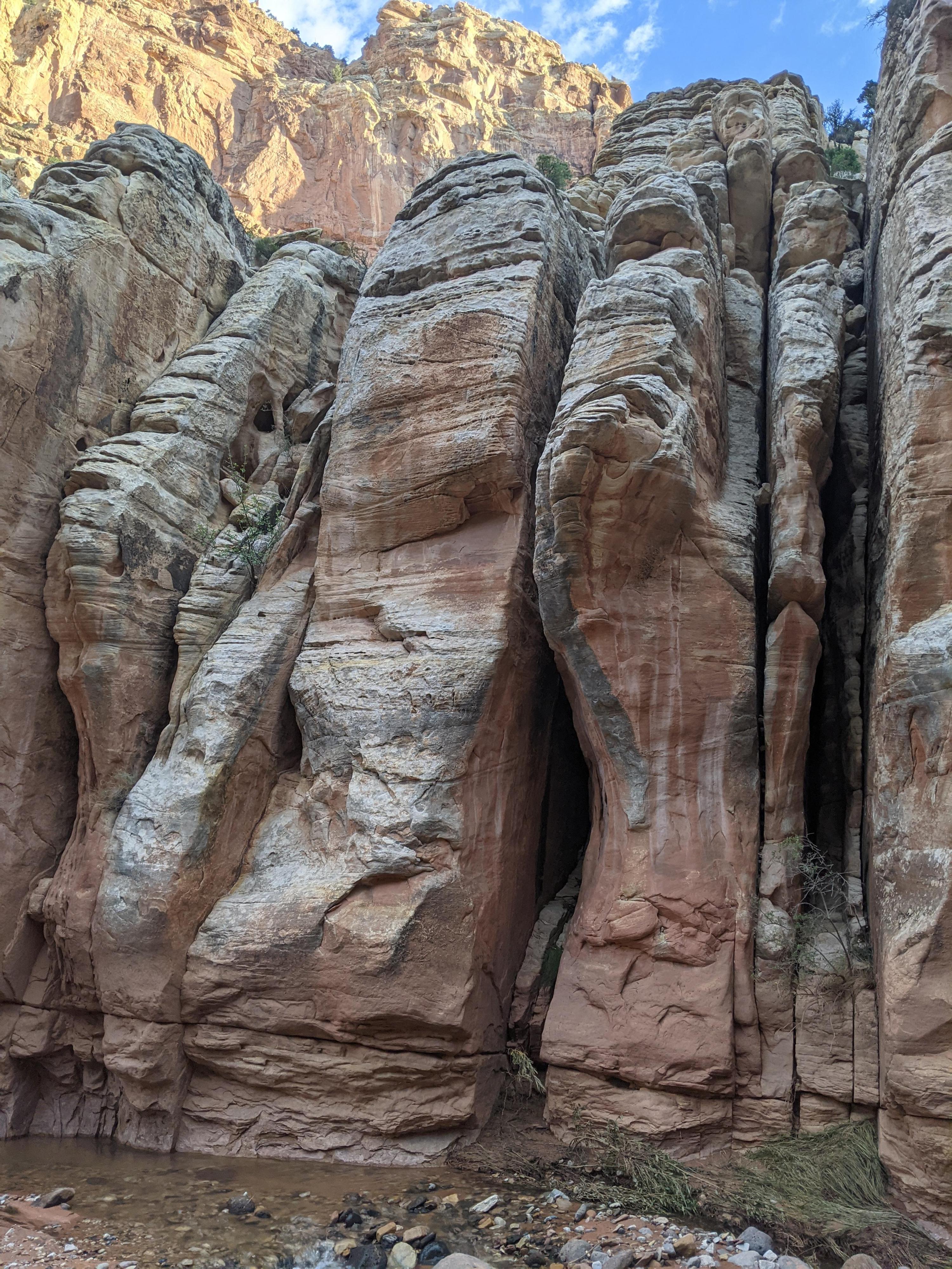
Old cut down telephone poles are visible here and there along the trail. As the gorge deepens, it gets more dramatic. The National Park Boundary is marked with brown flex signs. Beyond the boundary, the gorge cuts a substantially deeper and narrower path. The sandstone floored Pleasant Creek is an excellent respite on a hot day.
At its deepest point and narrowest point, the gorge makes a large bend, then opens. The environment on this side of the gorge is conifers and decidedly more mountainous than the starting point.
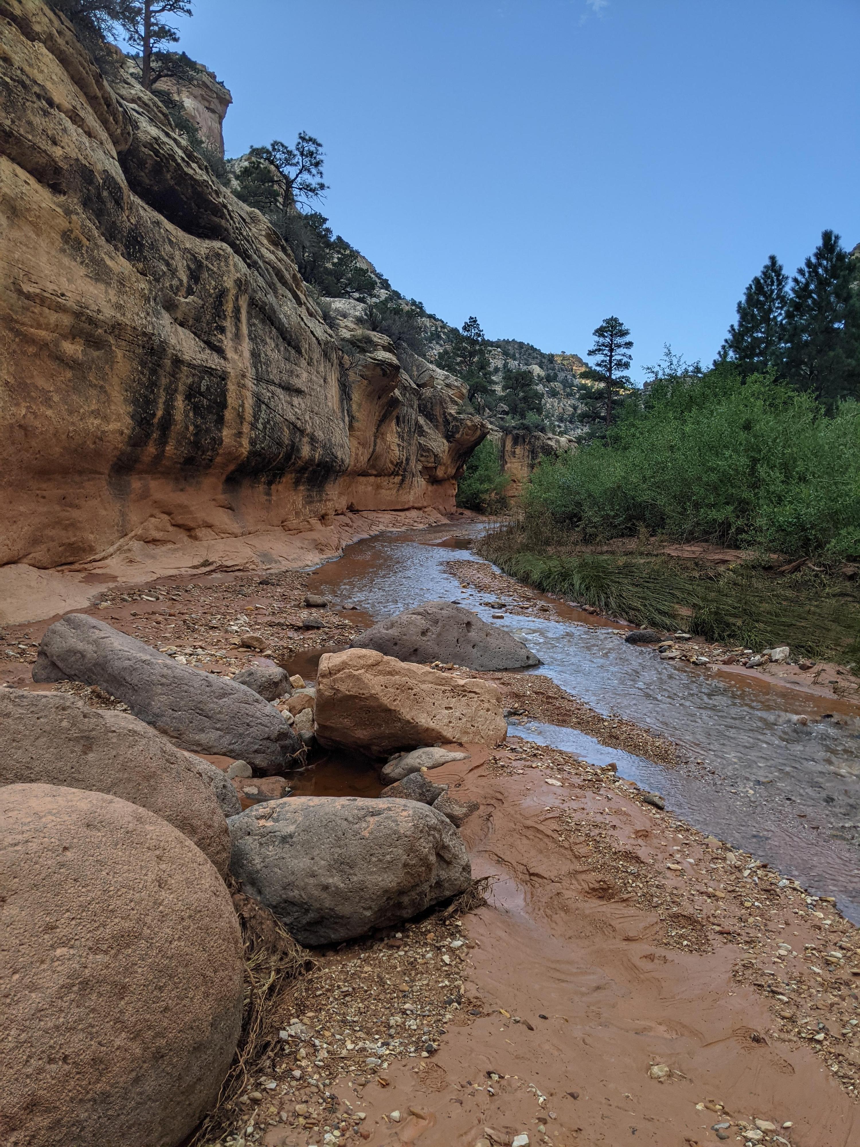
To continue to Lower Pleasant Creek Falls, keep following a social trail along the creek on the north side. In just a few minutes Pleasant Creek comes in on the left. Cross the creek, go through a fence, and continue up Pleasant Creek. The smaller creek coming in on the right is Sulphur Creek.
A few minutes up Pleasant Creek is a second confluence. The creek on the left is Tantalus Creek, stay right in Pleasant Creek. There is a very small cascade up Tantalus Creek about 10 minutes, but it is not nearly as scenic as Pleasant Creek. Continue up Pleasant Creek 5-10 minutes to the Lower Pleasant Creek Falls. These falls can be reached from the Boulder Mountain side via dirt road, but I think the hike through the gorge makes for an even better outing!
Return the same way.
Maps

12S 484139E 4225944N
38°10'53"N 111°10'52"W
12S 482642E 4224988N
38°10'22"N 111°11'53"W
12S 482281E 4224574N
38°10'08"N 111°12'08"W
12S 481328E 4223836N
38°09'44"N 111°12'47"W
12S 480623E 4222197N
38°08'51"N 111°13'16"W
12S 480954E 4221977N
38°08'44"N 111°13'02"W
12S 480685E 4222833N
38°09'11"N 111°13'14"W
12S 480820E 4222384N
38°08'57"N 111°13'08"W