 Canyoneering
Boltergeist Canyon
Canyoneering
Boltergeist Canyon
Leeds
Overview
Boltergeist Canyon is a tough one to recommend, as it is not a particularly good canyon. Its one redeeming quality is that it is just down the road from Yankee Doodle, so it makes a good way to fill out an afternoon. The canyon offers a couple of options, a short route, and slightly longer route. The longer route has one more rappel, but the exit is more of a pain. The short route skips the final rappel and offers a quick, easy exit.
The canyon should never hold much water, making it a good choice even in cooler weather.
Getting There
If traveling from the north on I-15, take exit 23 toward Leeds/Silver Reef. If traveling from the south, take exit 22, and follow main street 1.5 miles to Silver Reef Dr. Turn left onto Silver Reef Drive and go under the highway.
(Both routes) From the highway, follow Silver Reef Drive west for about a mile Silver Reef Drive becomes Oak Grove Rd. Continue on it.
Route Description
Approach (less than 5 minutes)
From the main road, follow the spur road a couple of minutes until it begins a slight left-hand turn before a camping area on the right. A well used social trail goes off on the right, before the camping area to the canyon.
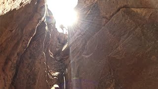
Canyon (less than 1 hour)
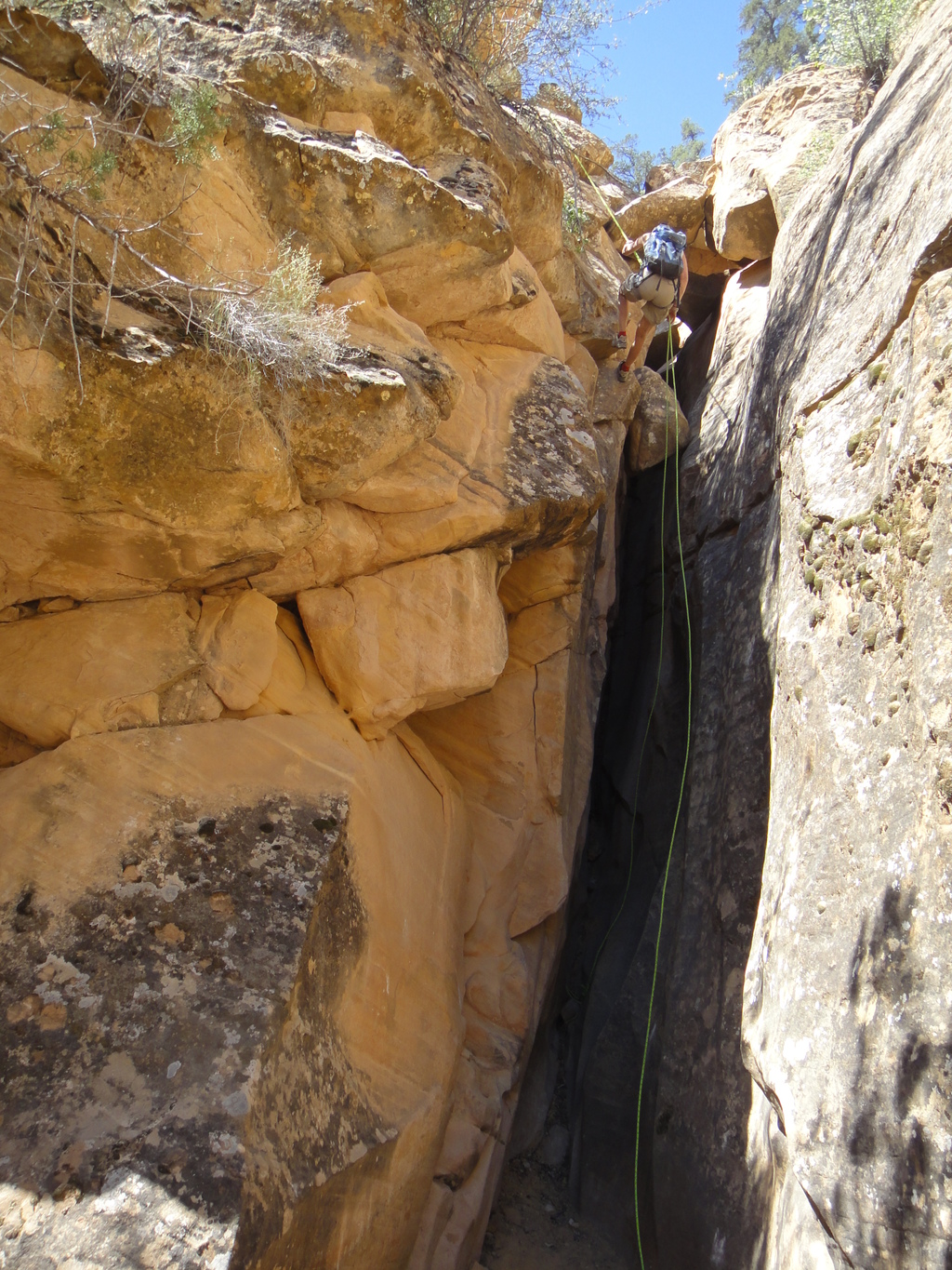
Once in the canyon, go down, quickly reaching a spot where the canyon begins to drop, and several potholes appear. Down climb on the left around the first one to a bolted anchor. Rappel 10 m ( 33 ft. ) or so down to the canyon bottom, or this can be climbed around on the left, but is easiest just to rappel.
Next up is a narrow slot that can be downclimbed, or rigged to rappel on the right. The rappel is about 13 m ( 43 ft. ). Extend your webbing and check the rope pull.
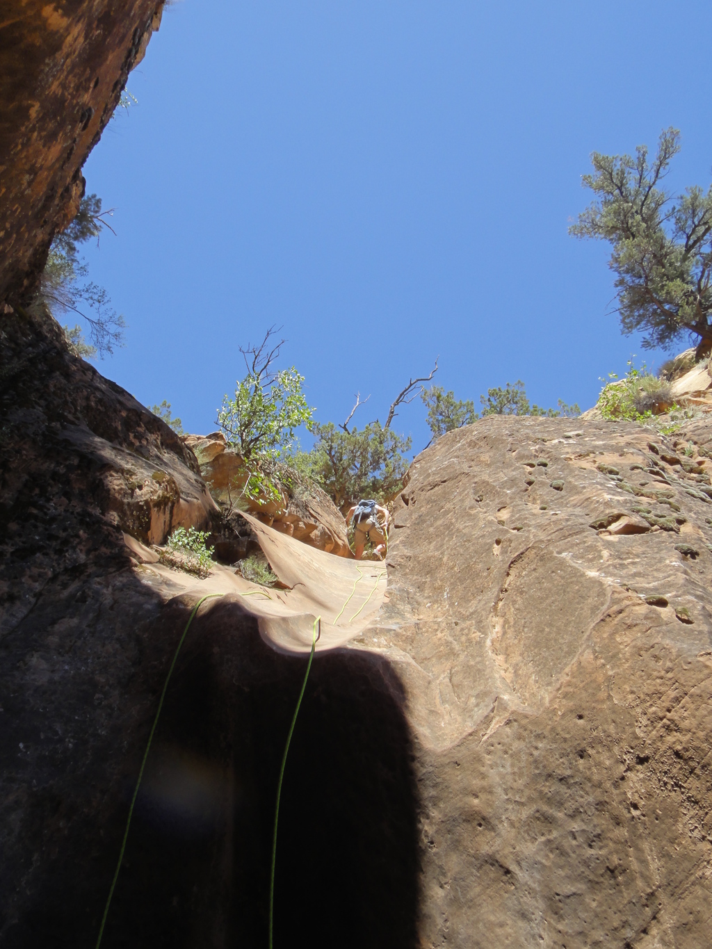
A minute or two below the second rap is another rappel. This one is down a low angle slab to a short vertical drop at the end (15 m ( 50 ft. ) total). This leads to the next rappel, also about 15 m ( 50 ft. ). This can land you in a pool, but can also generally be stemmed.
Decision time. The short route and longer route diverge after this rappel where the canyon opens.
Short Route Exit (15-20 minutes)
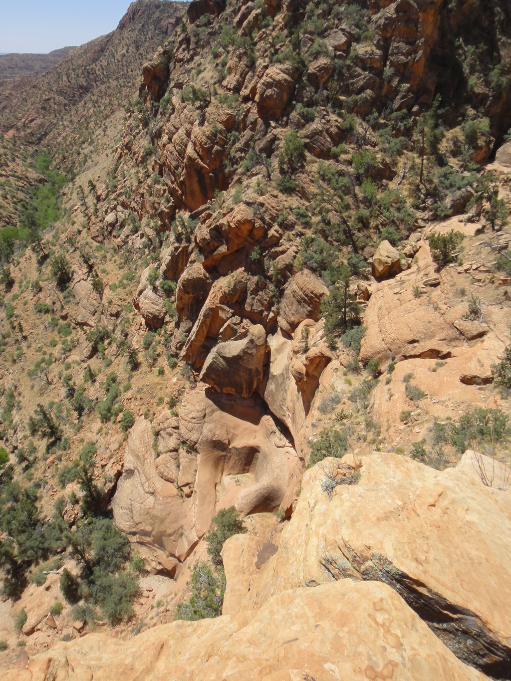
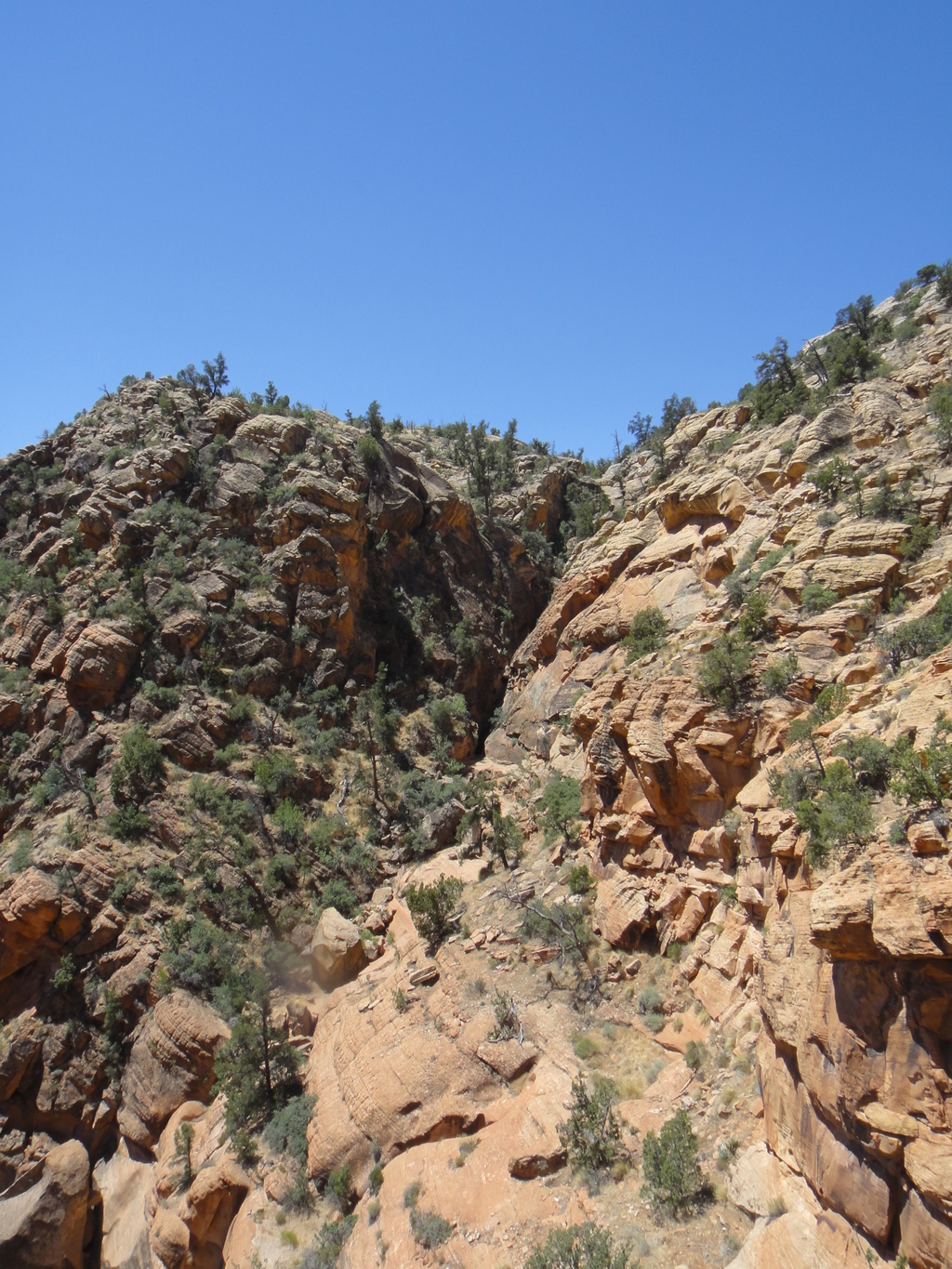
Where the canyon opens, look up on the left. There is one area that looks broken and passable. This is the short exit. Head up to the broken area, where you find a surprisingly simple game trail that meanders to the top. Nothing over class 3 in this section, and less than 20 minutes from the canyon bottom back to the trailhead. Once on top, you hit the road you follow back to the trailhead.
Long Route Exit
Still not satisfied? Want to get the final rappel? Head down canyon just a couple of minutes to a final 30 m rappel to a ledge that you can easily traverse on the left or right to the canyon bottom.
Continue down a few more minutes to the junction with Water Canyon. Head up Water a few minutes watching for a reasonable exit on the left side. Many options and game trails exist here, some easier than others. Find one your comfortable with, and follow it up to the rim, and then the rim/road back to the trailhead. All-in-all, I would recommend the short route. It is more fun, with less slog.
Photos
Videos
Boltergeist June 2024 (YM Group)
Maps

12S 284238E 4125469N
37°15'03"N 113°25'58"W
12S 284460E 4125339N
37°14'59"N 113°25'49"W
12S 284625E 4125497N
37°15'04"N 113°25'42"W
12S 284786E 4125744N
37°15'12"N 113°25'36"W