Red Canyon |

Notom Road

Hiking Red Canyon - Notom Road Hiking Red Canyon

Notom Road

Overview

RATING: Easy Hiking
MAPS: Sandy Creek Benches, UT; Bitter Creek Divide, UT;

Fri

Mostly sunny. High near 78, with temperatures falling to around 76 in the afternoon. Southwest wind 2 to 10 mph.

78 | 49

Sat

Sunny, with a high near 75. North northwest wind 6 to 10 mph.

75 | 48

Sun

Sunny, with a high near 80.

80 | 49

Mon

Sunny, with a high near 82.

82 | 51

Tue

Sunny, with a high near 80.

80 | 50

View Full Weather Details
SEASON: Any, hot in summer
WATER: None, bring all you need.

Fri

Mostly sunny. High near 78, with temperatures falling to around 76 in the afternoon. Southwest wind 2 to 10 mph.

78 | 49

Sat

Sunny, with a high near 75. North northwest wind 6 to 10 mph.

75 | 48

Sun

Sunny, with a high near 80.

80 | 49

Mon

Sunny, with a high near 82.

82 | 51

Tue

Sunny, with a high near 80.

80 | 50

View Full Weather Details
Entering Red Canyon

Entering Red Canyon

Looking north at the water pocket fold

Looking north at the water pocket fold

The Red Canyon hike starts from the Cedar Mesa Campground in Capitol Reef National Park. The campground offers 5 primitive campsites, with a pit toilet, fire pit, and picnic table. No garbage collection or water available, but also no fee for staying there.

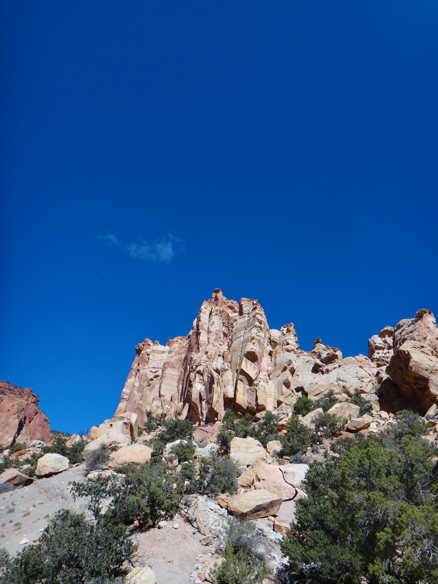
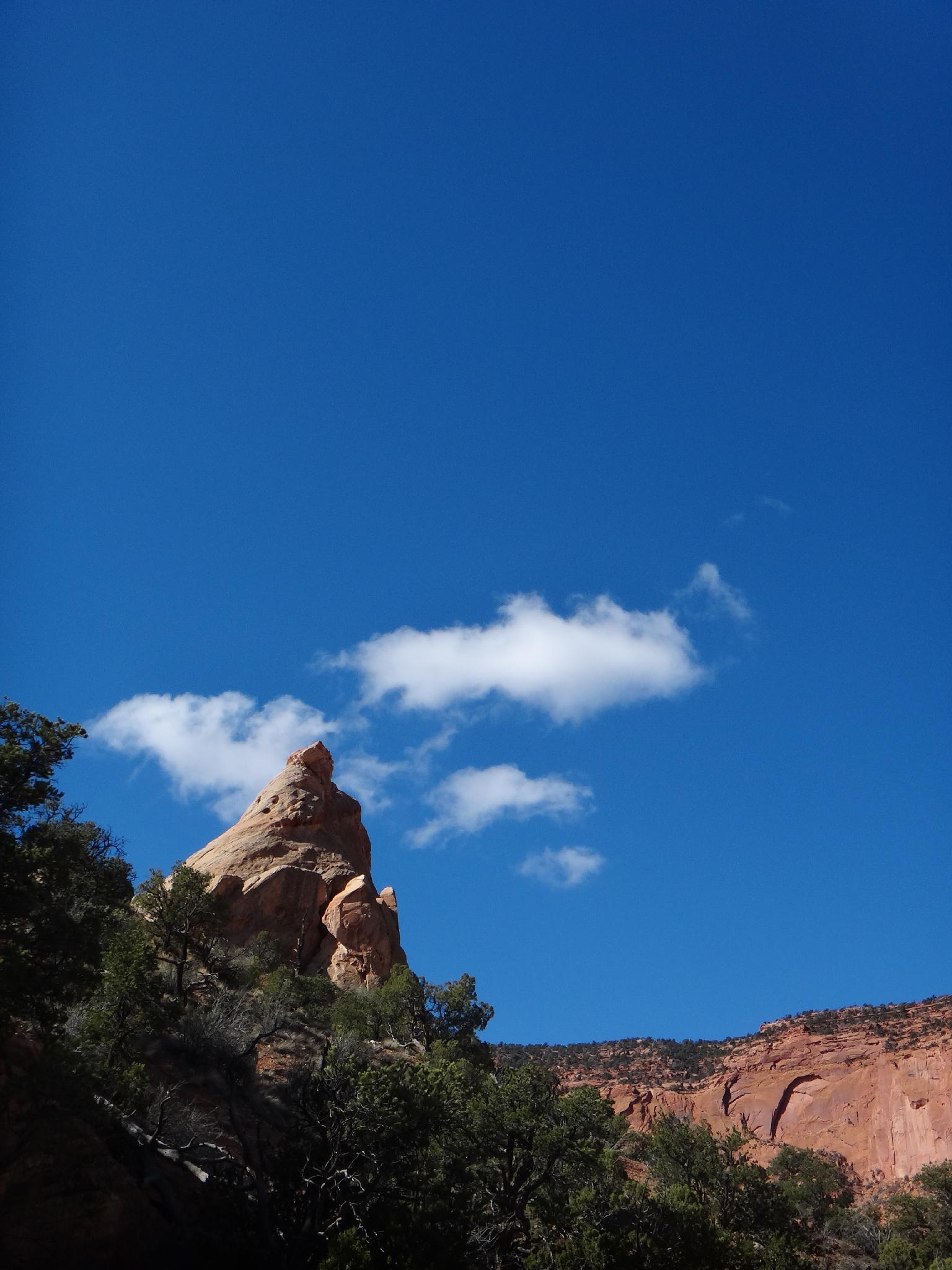
The hike makes a great early morning or evening outing when camping at the campground, and follows and old road to Red Canyon and its Wingate Sandstone amphitheater like end. Not a hike that is recommended as a destination hike, but a great stretch your legs hike if in the area, or if interested in geology.

Entering Red Canyon

Entering Red Canyon

Tower in Red Canyon

Tower in Red Canyon

Getting There

Travel east out of Capitol Reef National Park on highway 24. Just past the park, 0.25 miles, is the well signed Notom road.

  • Turn south onto Notom Road and reset your odometer. ( 12S 488763mE 4237262mN / N38° 17' 00" W111° 07' 43" )
  • At 13.6 miles, is the Sandy Creek Junction. Stay right on the Notom road here. ( 12S 493913mE 4217290mN / N38° 06' 12" W111° 04' 10" )
  • At 13.9 miles, is the second Sandy Creek Junction. Stay right on the Notom road here. ( 12S 494104mE 4216858mN / N38° 05' 58" W111° 04' 02" )
  • 21.2 miles to the Cedar Mesa Campground on the right (west) side of the road. Drive in the campground, the trail starts at the end of the campground road. ( 12S 492760mE 4206611mN / N38° 00' 26" W111° 04' 57" )
Red Canyon skyline

Red Canyon skyline

Route

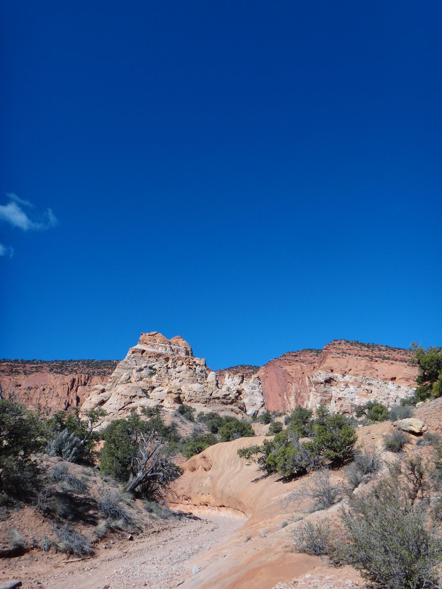
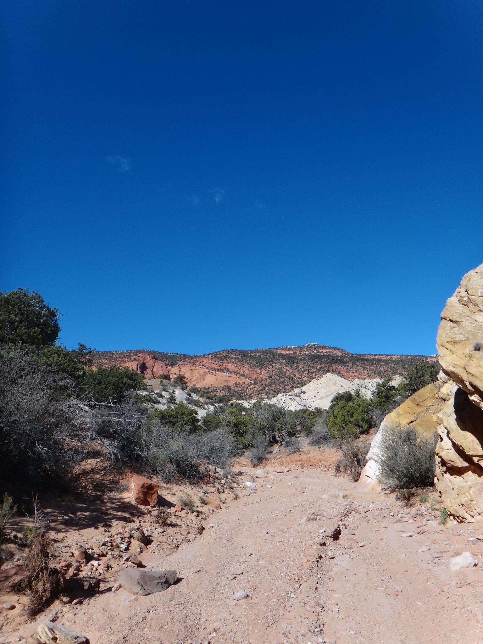
From the campground, follow the trail/closed road as it heads west. It is easy to follow, though there are a few side trails to small view points. Staying on the main obvious trail is easy. An hour or so from the trailhead, the road descends into Red Canyon.

Once in Red Canyon, follow the stream bed up. It has marvelous colors and sculpted cliffs and it cuts through the sandstone. The trail eventually fades at it nears the headwall of Red Canyon. The area is like a huge amphitheater with an impressive tower in it. Return the same way.


Maps

Route / 5.47 miles / Elevation Range 5,608 - 5,998 ft.
Printable Maps:
Trailhead

12S 492554mE 4206608mN

N38° 00' 26" W111° 05' 05"

Comments

Want to make a comment? Login and let yourself be heard.