 Hiking Sheets Gulch
Notom Road
Overview
|
Fri 63 | 39 |
Sat 66 | 42 |
Sun 65 | 44 |
Mon 61 | 41 |
Tue 58 | 39 |
| View Full Weather Details | ||||
|
Fri 63 | 39 |
Sat 66 | 42 |
Sun 65 | 44 |
Mon 61 | 41 |
Tue 58 | 39 |
| View Full Weather Details | ||||
Sheets Gulch has just enough obstacles to challenge the average hiker, but is scenic enough to keep a smile on all, but the most done it all desert hiker. The hike should be approachable by most groups, but a few minor up climbing challenges may stop a solo hiker. A little teamwork should easily surmount most of the obstacles.
Sheets Gulch is a good hike to do in the spring or fall, but can have a bit of wading and short pools. Avoid this hike in cooler temps after recent rain. Summer is do-able, but can be hot, and the canyon has high flash flood potential.
Getting There
Travel east out of Capitol Reef National Park on highway 24. Just past the park, 0.25 miles, is the well signed Notom road. Head south on the Notom road 12.7 miles. The trailhead is on the right, and is a large parking area. If you crossed Sheets Gulch, you have gone about a 0.25 miles to far south.
Route
From the trailhead, follow the trail over the hill south and into Sheets Gulch. Head up the canyon, cutting corners on the social trail. About 30 minutes from the trailhead (1 mile), a side canyon comes in on the right. It seems obvious to stay left, but apparently this junction has been missed. About 10 minutes after, a side drainage comes in on the left. Again, this seems obvious, but could be missed, stay right in the main drainage.
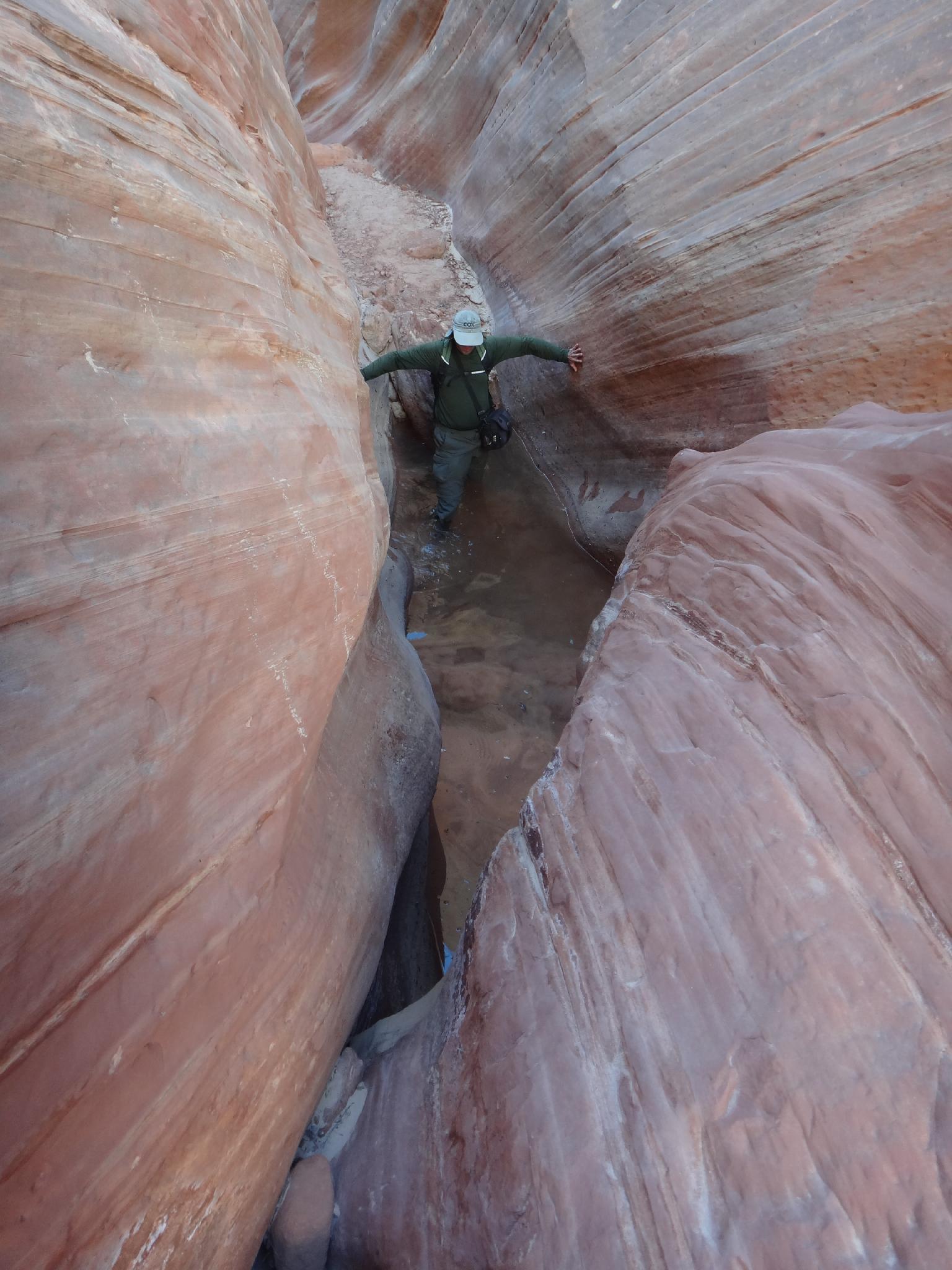
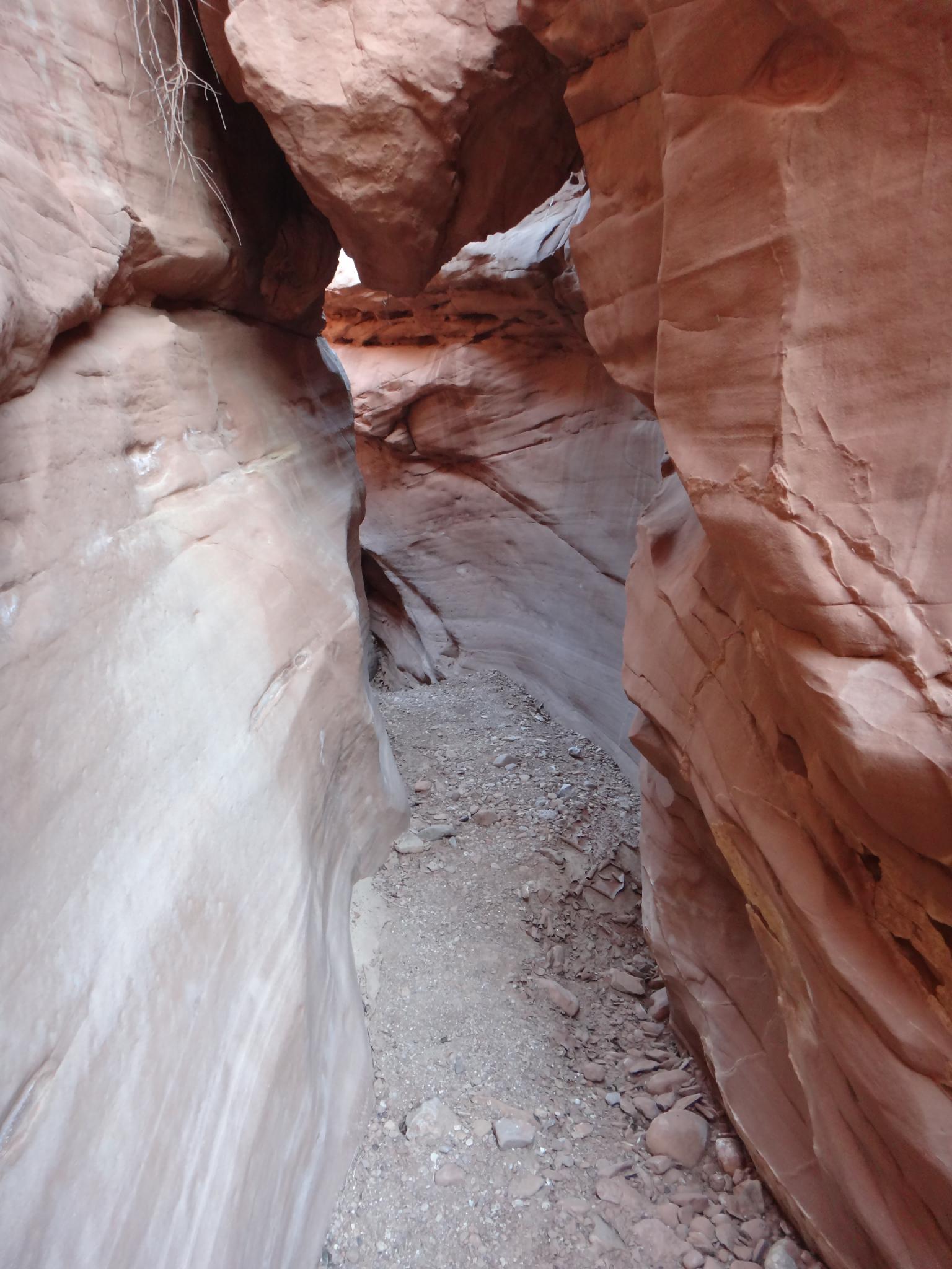
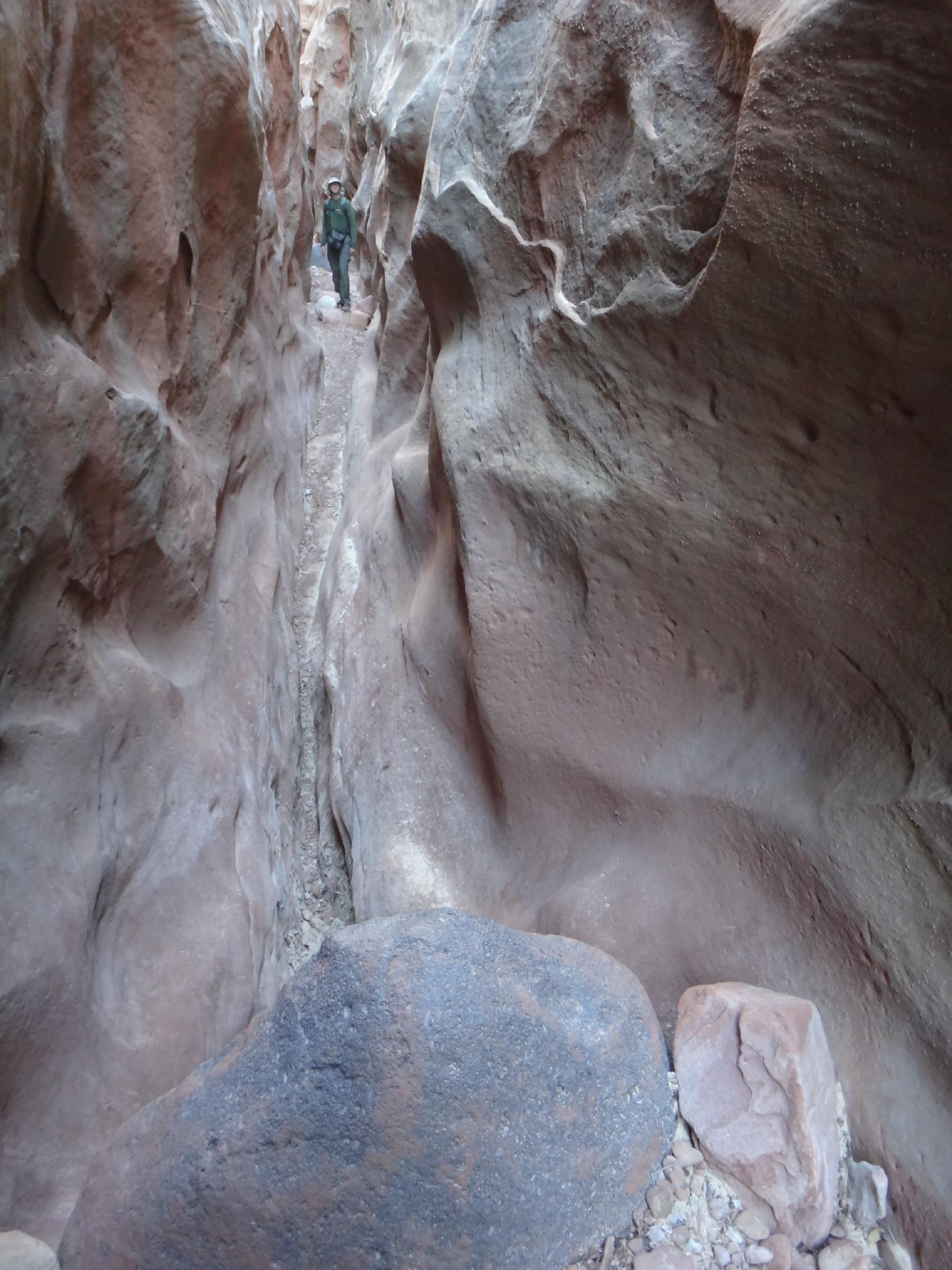
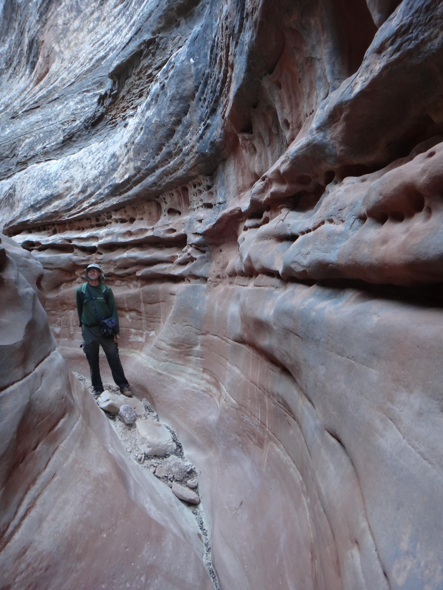
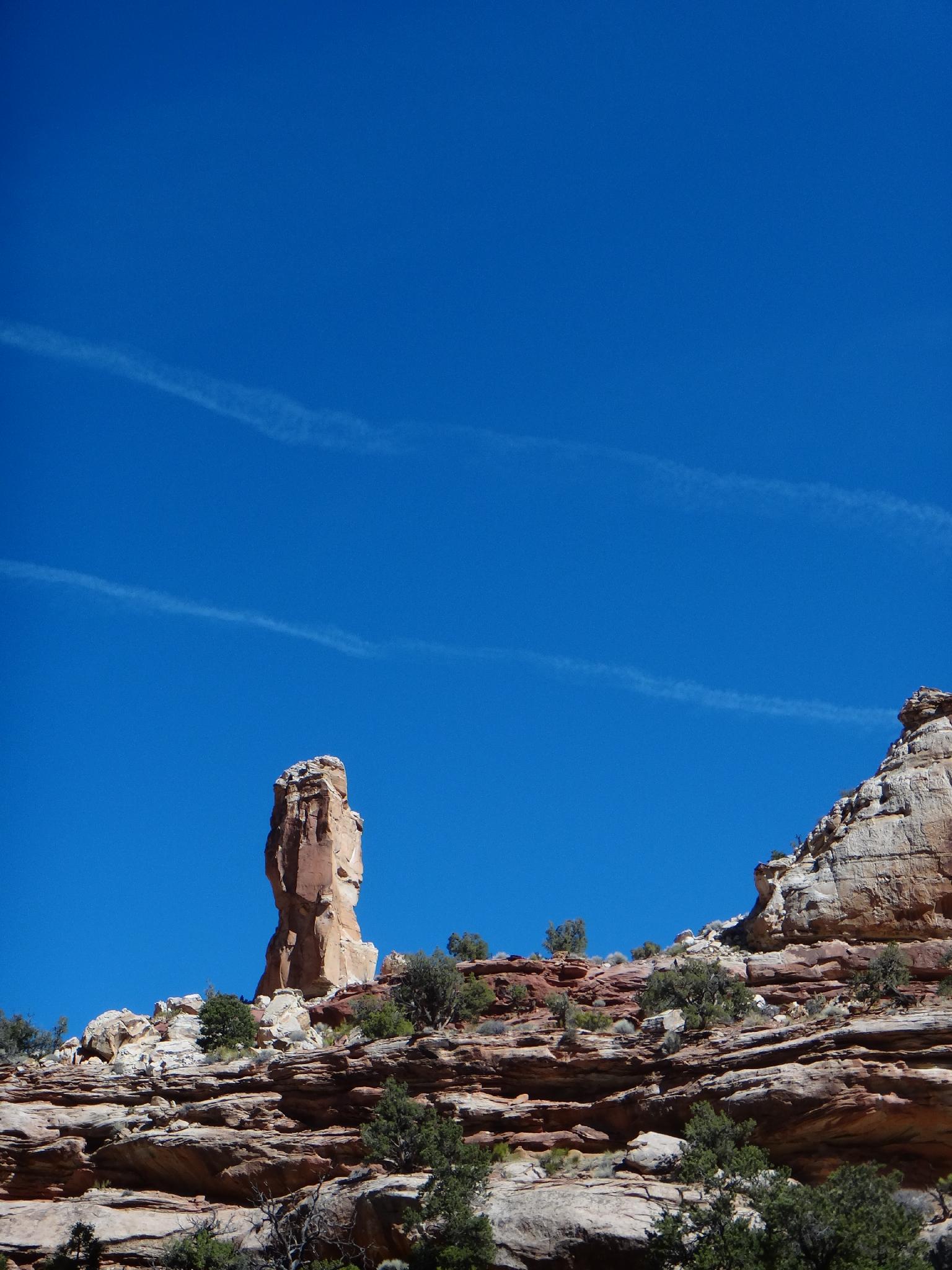
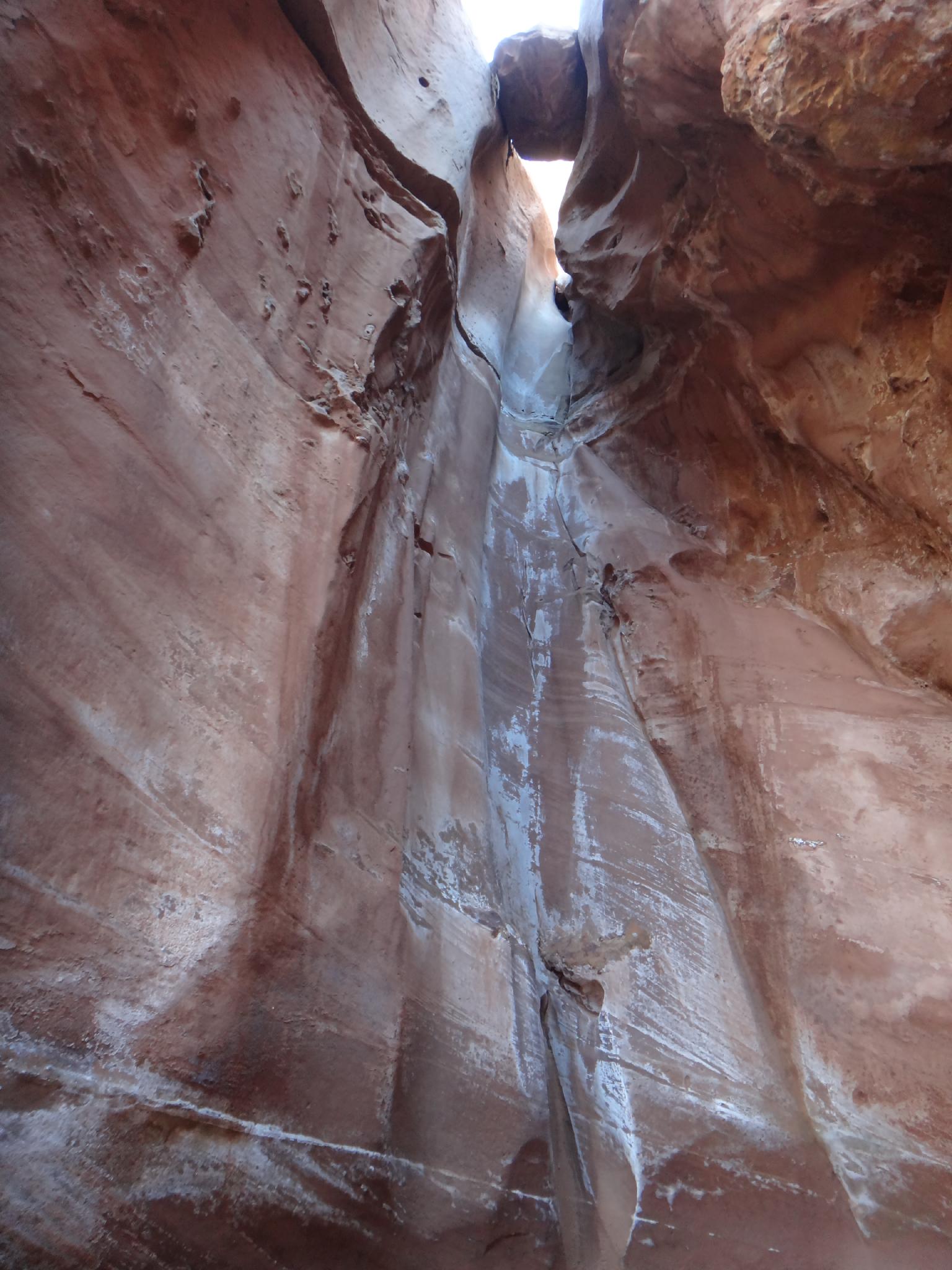
The good stuff starts soon after, with a nice narrows section that is followed with a mix of open and slot sections. A few boulders and small pools add to the fun through this section. The canyon opens and closes many times, before a slot section that ends with (generally) a pool and chockstone. This can be tricky, and is best approached by chimneying up the left side. Another easier chockstone presents an obstacle a few minutes above, but is much easier. The canyon becomes more and more open before a bend with a short tower on the right. Just past the bend is a dryfall.
To pass the dryfall, follow the social trail on the south (right side looking down canyon). Once above the dryfall, the canyon stays open and is less interesting. Return the same way. About 5 miles / 3 hours one way to the top of the dryfall.
| Trailhead |
12S 493725E 4218703N 38°06'58"N 111°04'18"W |
| Narrows |
12S 492590E 4217432N 38°06'17"N 111°05'04"W |
| Obstacle |
12S 489533E 4217510N 38°06'19"N 111°07'10"W |
| Dryfall |
12S 488763E 4217493N 38°06'19"N 111°07'41"W |

