 Hiking
Thousand Lake Mountain
Hiking
Thousand Lake Mountain
North of Torrey
Overview
Local lore has it that when the USGS mapped Boulder Mountain and Thousand Lake Mountain, there was a mixup, and the names were switched. Boulder Mountain should be Thousand Lake and vice versa. Having visited both, I see this as a distinct possibility!
Though short distance as the crow flies from Torrey, , it is about a 1 or 1.5-hour drive to the trailhead. The lofty summit is only about 10 feet shorter than its neighbor to the south, Bluebell Knoll the highest point on Boulder Mountain. The two mountains have different characteristics, however. The flat-topped summit of Thousand Lake is a bit less impressive than the summit of Boulder Mountain but makes up for this with several excellent views of the northern portion of Capitol Reef, Cathedral Valley, and the Swell.
The road to the trailhead offers many excellent primitive campsites, and Elkhorn Campground is a short distance from the trailhead. This is a good place to spend a summer weekend to escape the heat.
An out and back hike is described, as well as a loop. Both require moderate to excellent navigation skills (or a GPS) . I would highly recommend the loop. The loop does require 1.2 miles of road walking (or two cars).
Getting There
Reaching the trailhead first involves reaching MP 9.6 on State Road 72. This is 9.6 miles north of Loa. From Loa, follow SR72 east 1.2 miles to where it turns north and heads to the town of Fremont. Continue on 72 to mile post 9.6 miles.
This is about 25 miles south of I-70 if you take exit 91 from I-70.
Reset your odometer as you turn off SR-72.
Route Description
To The Top of Flat Top (0.85 miles / 45 - 60 minutes)
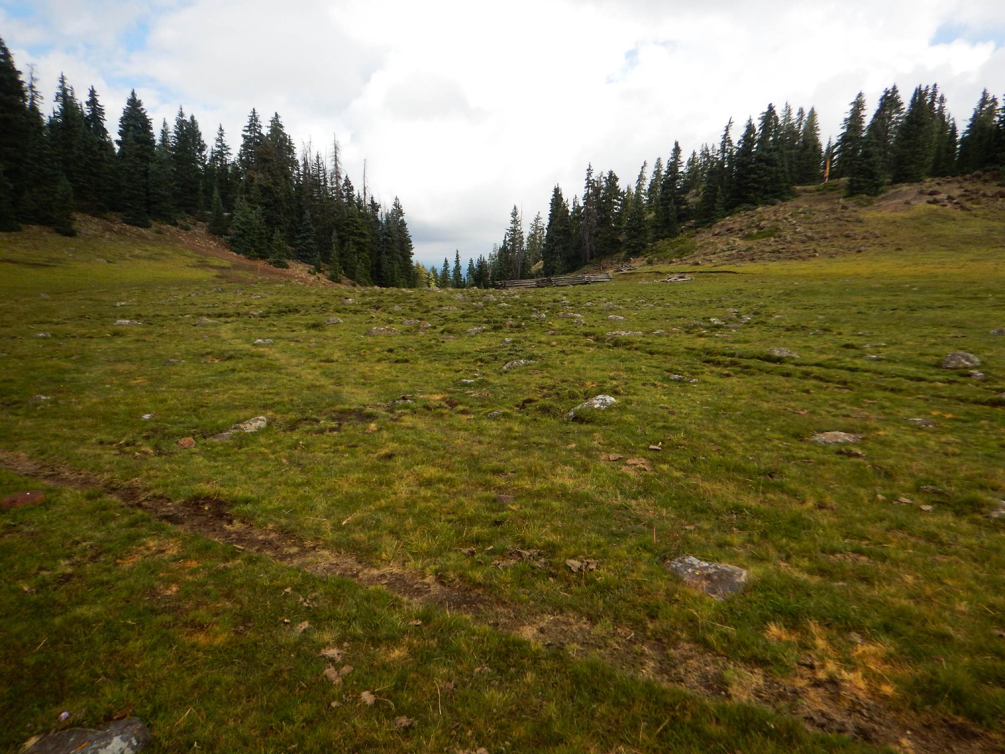
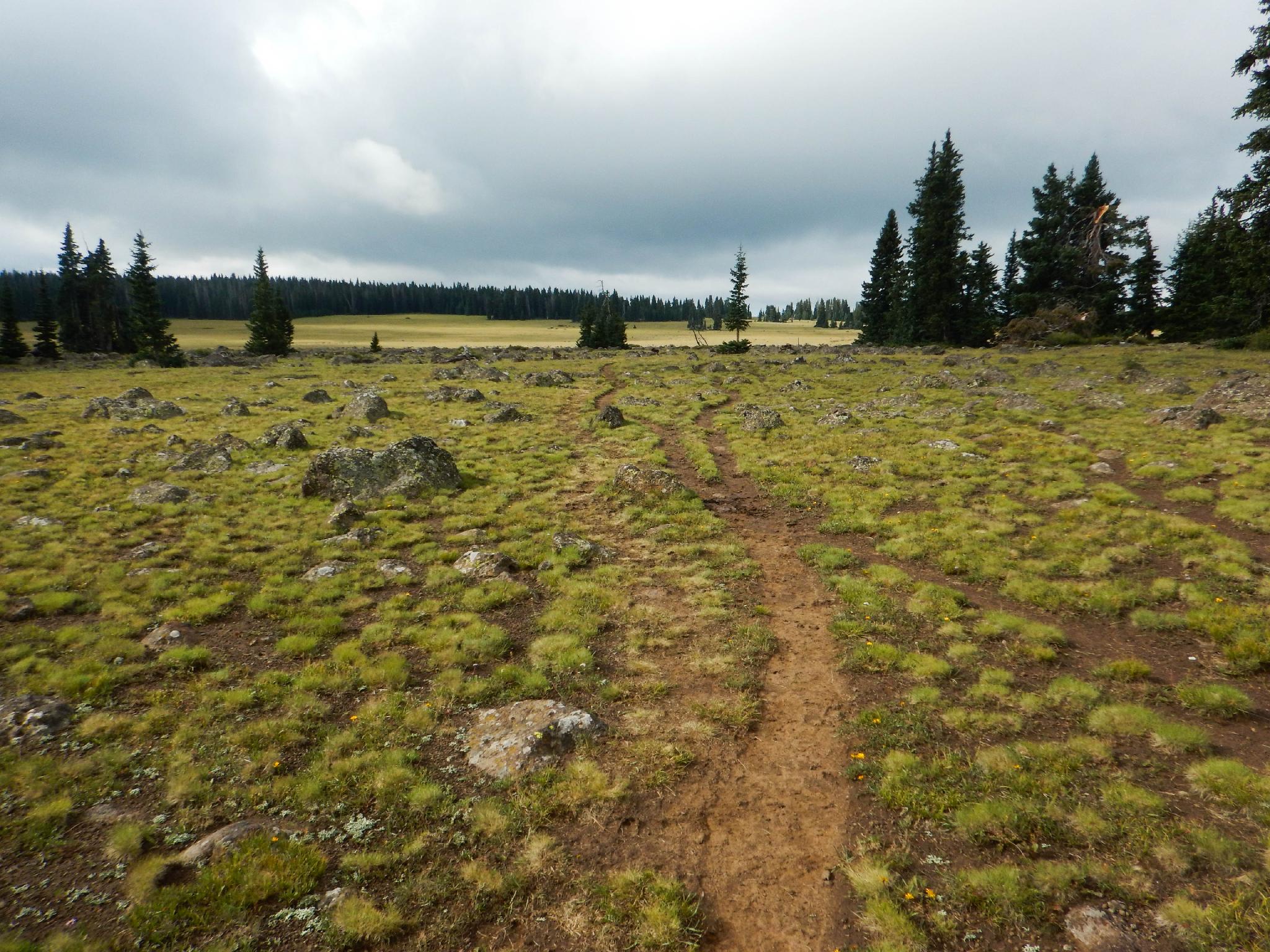
From the trailhead, follow the signed Fish Lake Spring trail. Within a couple of minutes, it goes right and crosses a meadow/pond area. Once across the meadow/pond area, the trail begins climbing quickly. The trail is surprisingly well marked and easy to follow. Once on the rim, keep an eye out for cairns that cross the flat top, and meet up with another, more defined trail.
To The Summit (2.3 miles / 1 hour)
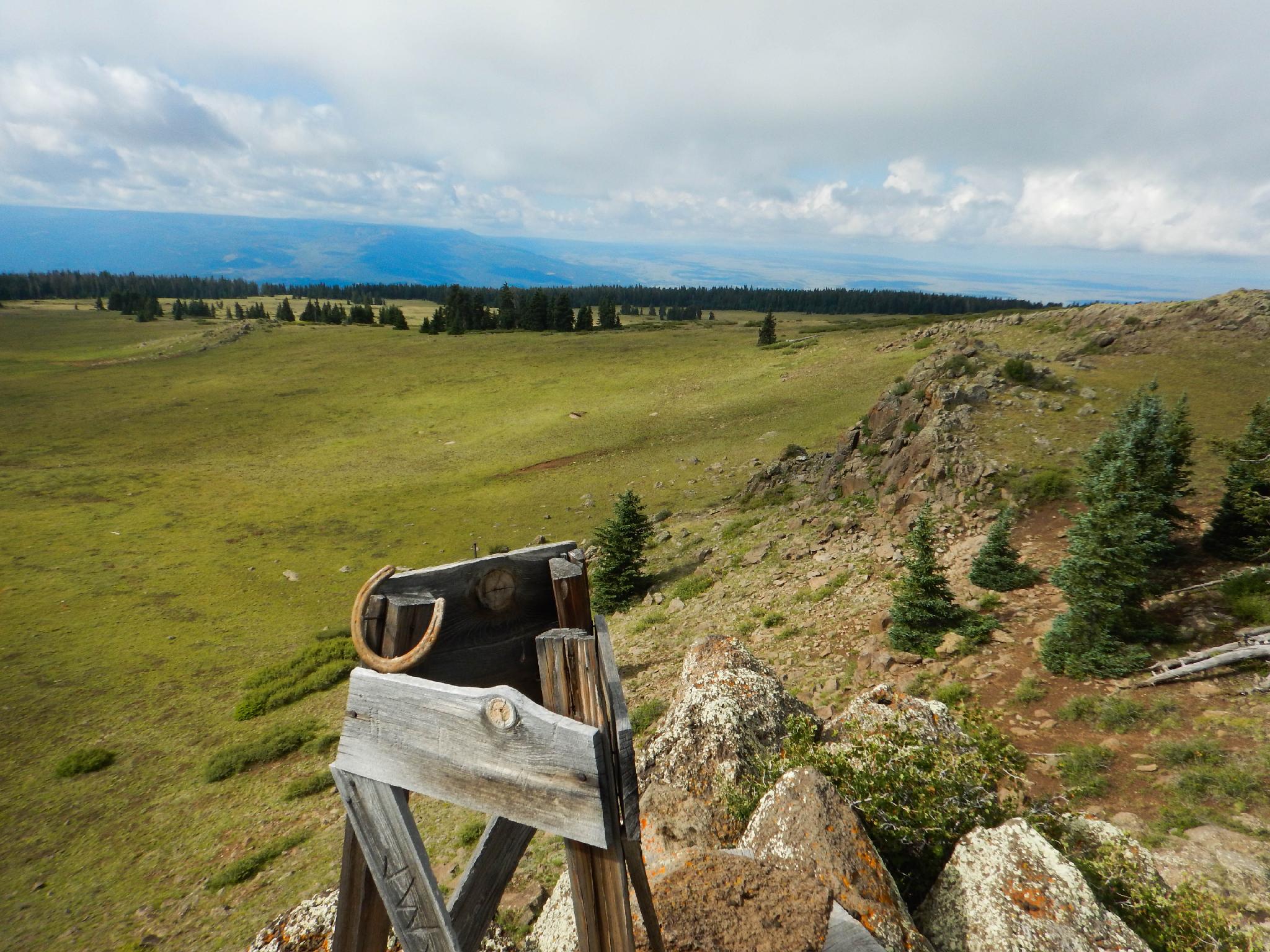
At the junction, go left as the trail meanders across the flat meadow. The trail quickly reaches Fish Spring and a major signed junction with several trails. Go left here, toward Snow Lake. The trail continues across the flat meadows to another signed junction. Go right here, From this final junction, follow the trail past an area of trees. Once past the trees, a clear open slope leads easily to the summit and a mailbox register. The views from the summit of Boulder Mountain (to the south), Capitol Reef (to the east) and the Henry Mountains (to the east) are excellent.
Return the way you came for the out and back.
Optional Return Via Snow Lake (2.9 miles / 1 - 1.5 hours)
Let the navigation fun begin! The optional route requires some heavily wooded forest navigation but is a fun excursion and quite easy with a GPS. From the summit, hike north and east. With a good course, you will reach the edge of the Flat Top right where the Snow Lake trail descends. If in doubt, go more north than east. The Snow Lake trail was well cairned and easy to notice when crossing in the summer of 2016.
Follow the Snow Lake trail east as it quickly descends off the Flat Top, crosses a road, and reaches Snow Lake proper. Go left (north then east) around the lake and re-join the road used to reach the trailhead.
Go left and follow the road 1.2 miles back to the trailhead. There is a restroom and picnic area a short distance from the trailhead.
Photos
Maps

12S 459493E 4254843N
38°26'27"N 111°27'51"W
12S 459319E 4254696N
38°26'23"N 111°27'58"W
12S 458455E 4255001N
38°26'32"N 111°28'34"W
12S 457918E 4254400N
38°26'13"N 111°28'56"W
12S 458133E 4253825N
38°25'54"N 111°28'47"W
12S 457699E 4252710N
38°25'18"N 111°29'04"W
12S 458165E 4252194N
38°25'01"N 111°28'45"W
12S 459010E 4252870N
38°25'23"N 111°28'10"W
12S 459565E 4254572N
38°26'19"N 111°27'48"W
12S 459992E 4253228N
38°25'35"N 111°27'30"W