 Canyoneering
The Black Hole of White Canyon
Canyoneering
The Black Hole of White Canyon
Hite
Overview
The Black Hole is often touted as one of the best canyon adventures around. It has amazing beauty, challenging obstacles and is a lot of fun. Be warned, however, flash floods have taken lives here. Competent leadership is required for a safe and great adventure.
Several years ago the canyon flash flooded and filled with immense log jams, making it very difficult to descend. After several years, these washed out, and the canyon is back to its former self. Beware, though, it is a canyon that can change dramatically.
Many groups do the Black Hole in high summer without wetsuits. Though doable, I would recommend a wetsuit even in summer. Being warm and not shivering through the best sections makes for a much more enjoyable day!
Getting There
Any vehicle can reach the trailhead. To start the hike, drive 56.8 miles from Hanksville south on highway 95. This is just before milepost 57, with a large pullout on the left (north) side of the road with an information kiosk.
Optional: If you have 2 cars, leave one at mile 54.8. There is a small pullout here. This is the top of the exit.
Route Description
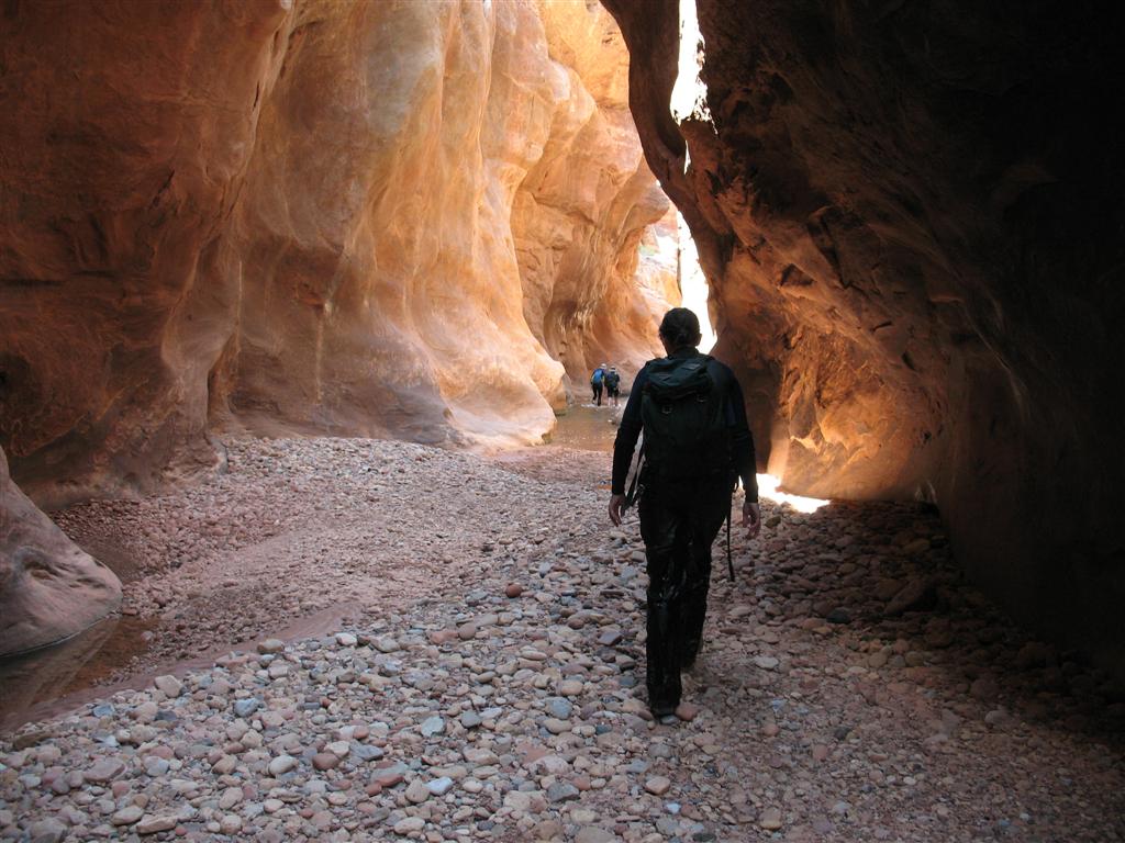
From the trailhead, follow an emerging trail northwest for several minutes to a steep dirt entrance down a side canyon. Follow the trail down to White Canyon (15-20 minutes). You will likely pass a warning sign in a tree on the way down. If you reach White Canyon and find flowing water, turn around and return to your car. The canyon should be dry at this point.
Once in White Canyon, go left, downstream. The canyon is easy hiking for an hour or so. As you begin encountering obstacles, they are almost all most easily passed by benches on the right. When in doubt, look around as muddy footprints often show the way. As you go further, you will begin encountering more and more pools and short stretches of water. A tricky looking downclimb into a pool is a good landmark. Backtrack a short distance and bypass this section on the right downclimbing after a short distance. From this obstacle, you are getting close to the Black Hole proper.
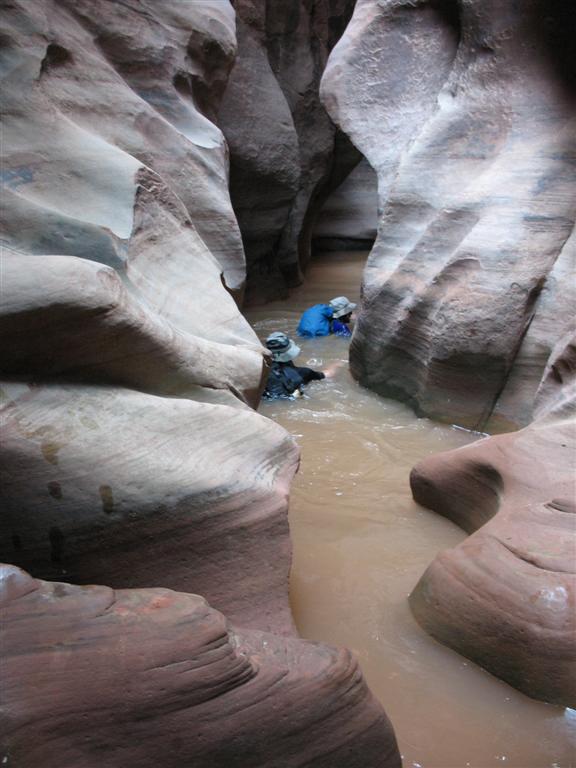
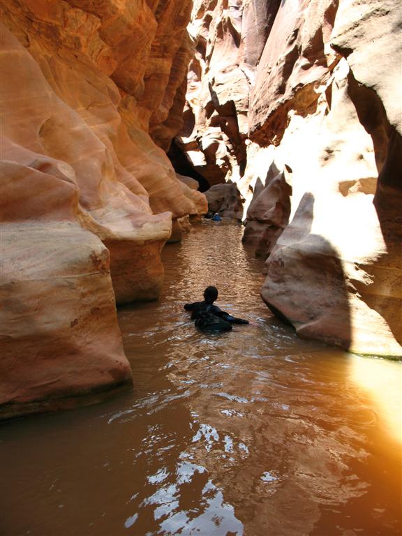
The Black Hole starts with a 3 m downclimb as the canyon narrows and turns left. The easiest way down this is a crack on the left, and will deposit you into a pool. Two minutes past this first downclimb another tricky downclimb into a pool down some logs. Use a handline here if desired. Begin swimming! The next section is the best part of the canyon and involves a long 100 m swim. Enjoy this section, hoping for the sun at the end to get out into and warm up!
From the Black Hole, continue down canyon encountering smaller pools and swimming sections along the way, but they become shorter and less frequent as you go down the canyon. Keep an eye out on your right for a large arch. The arch is an important landmark. Just past it the canyon wall eases. This is not the exit; however, you may want to use an emerging trail on the left to bypass the next water filled slot.
About 20-30 minutes beyond the arch, the canyon opens with a small tower on the left that marks the exit. Follow an emerging cairned trail as it zig-zags its way up and out of White. Once you leave the canyon bottom, the trail forks. Left takes a shortcut up a log climb, while right is a more gradual trail up with switchbacks. Right is recommended for most groups.
Once on top, keep hiking south a short distance to the highway. If you spotted a car, it will be here. Otherwise, it's a 2-mile hike east on the road to the trailhead.
Photos
Videos
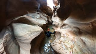
Black Hole of White Canyon - May 2020
Black Hole of White Canyon - May 2020

Black Hole of White Canyon
Maps

12S 561245E 4183588N
37°47'51"N 110°18'16"W
12S 558334E 4185587N
37°48'57"N 110°20'14"W
12S 558344E 4185032N
37°48'39"N 110°20'14"W