 Hiking
Upper Calf Creek Falls
Hiking
Upper Calf Creek Falls
Escalante
Overview
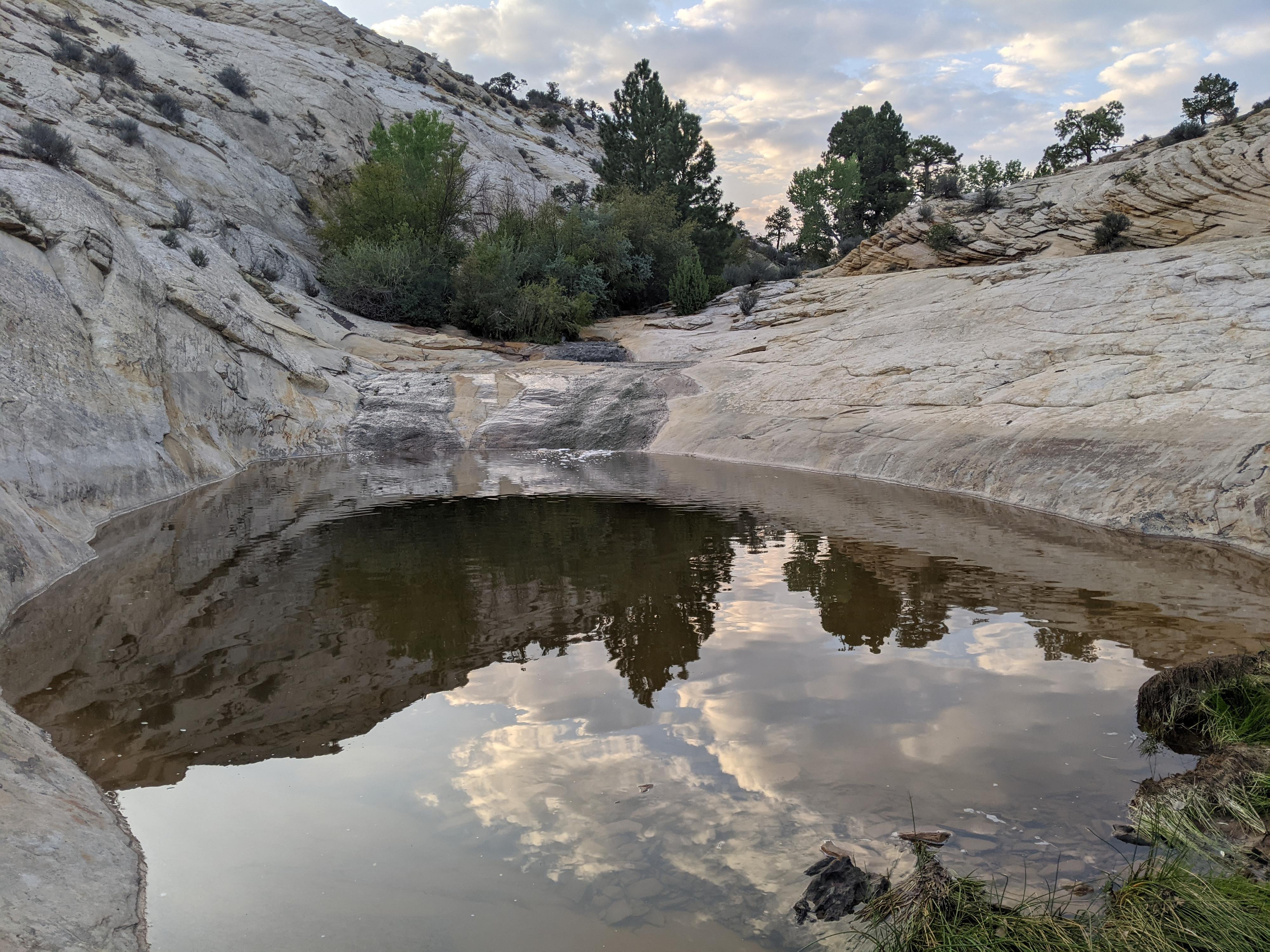
Although Lower Calf Creek Falls gets most of the press, Upper Calf Creek Falls is my favorite. Less crowded, with plenty of charm and scenery, this is a great place to spend a hot day lounging. For the bold, there are a few smaller falls above the main falls that can be jumped. For the timid, just spending a hot day next to the cool babbling stream will be excitement enough.
Beware, the hike in and out are in full sun. Avoid hiking in or (especially) out during the hottest parts of the day in the summer.
Getting There
The trailhead is right off of highway 12. The easiest way to find it is to start from the Calf Creek Campground turnoff, and travel north on Highway 12. After 5.6 miles, there is a short side road on the left (west) side of the road. This is just after mile post 81 and signed Upper Calf Creek Trailhead. Follow this short side road to its end and the trailhead.
Route Description
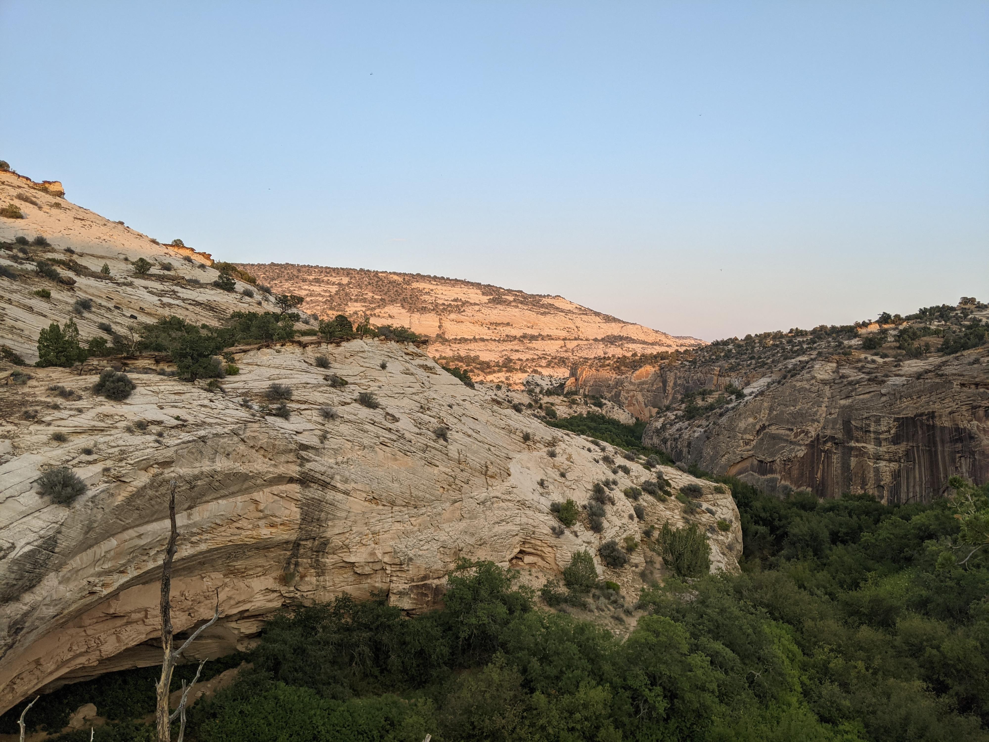
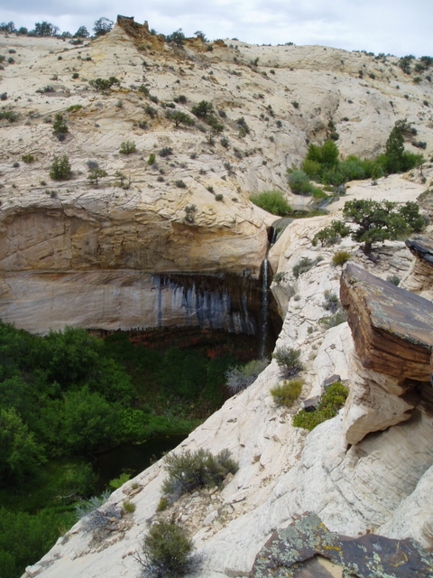
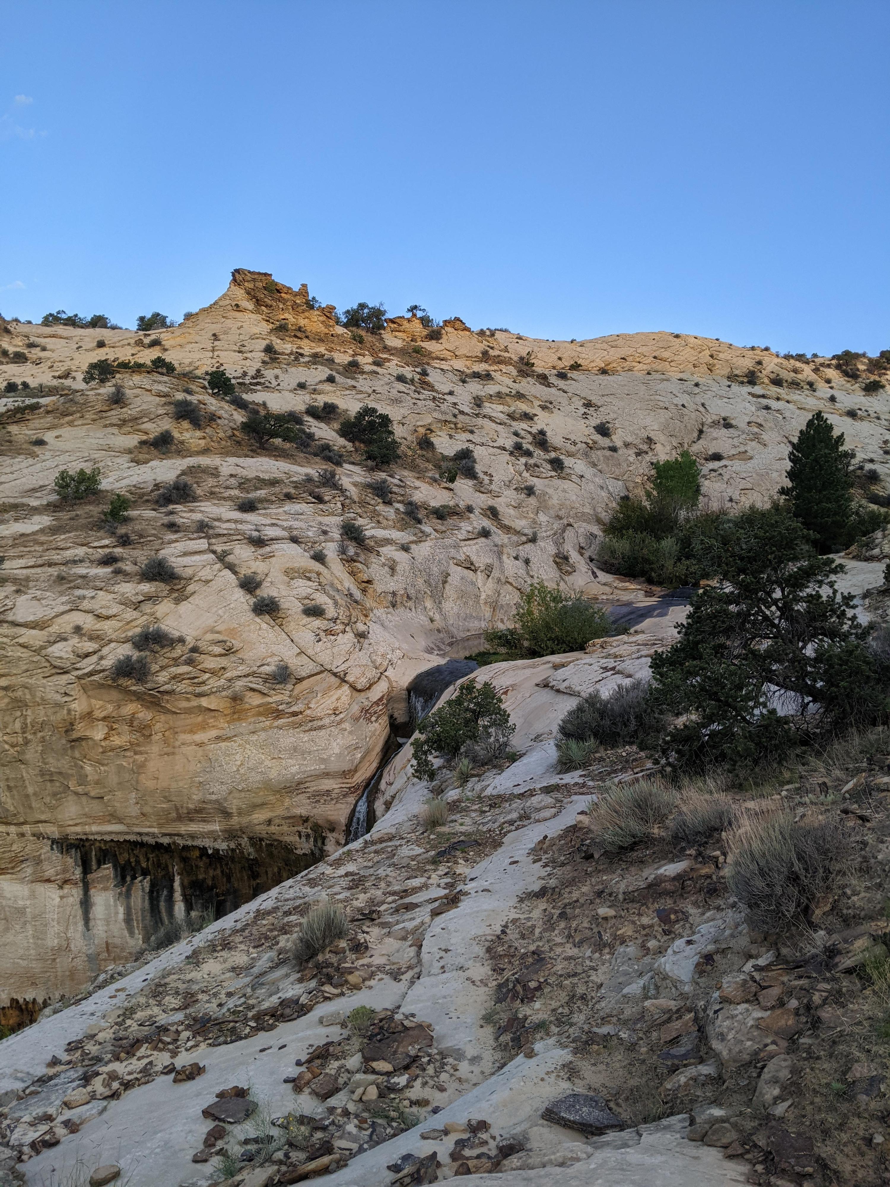
From the parking area, go past the trailhead register, and head down the well cairned trail. It begins on relatively steep slickrock as it quickly descends and becomes more gradual. About 30 minutes from the car, near the bottom of the canyon, the trail contours around the corner and the falls become visible. A cairned side trail just before the falls descends slick rock and visits the base of the falls. Beware, the base of the falls has quite a bit of poison ivy around. Staying on the main trail visits the falls.
There are serveral pools and an excellent slickrock area at the falls to hang out at and have lunch. Just a minute up from the falls, hidden behind a tree, is a small cascade/falls and deep pool.
Return the way you came. Hiking time is about 30 minutes down, and 30-60 minutes back up depending on energy level and heatt.
Maps

12S 461497E 4190300N
37°51'34"N 111°26'16"W
12S 460335E 4189789N
37°51'17"N 111°27'03"W
12S 460235E 4189837N
37°51'18"N 111°27'07"W