 Climbing
The Pickle
Climbing
The Pickle
Arches National Park
Overview
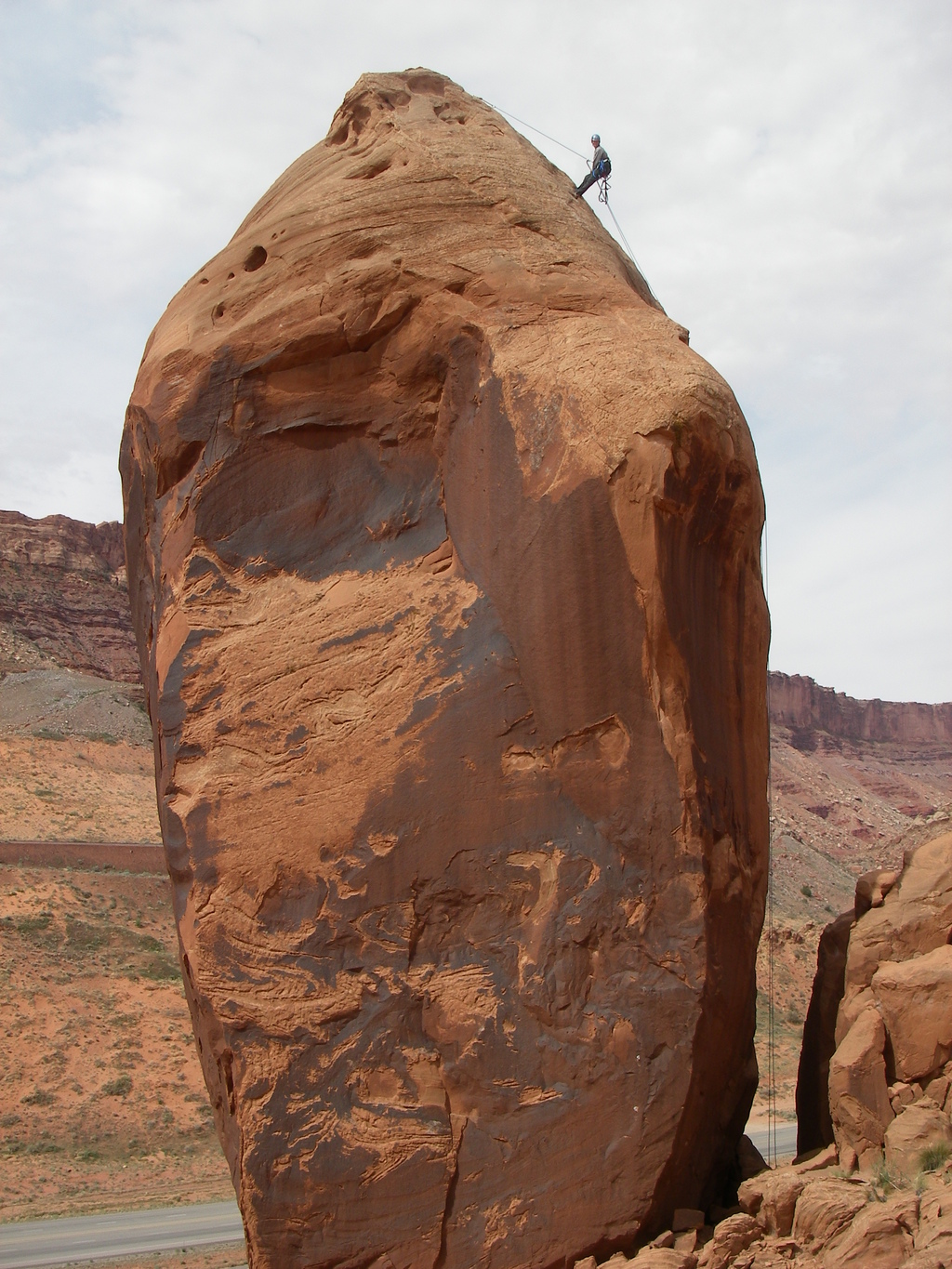
The Pickle is one of the easiest, if not the easiest, desert tower summit to reach near Arches. It provides a commanding view of the Arches entrance and is a great adventure. Although not recommended for the lacklustre bolt ladder, or few slab moves at the top, the view and unique summit make this a very worthwhile. The summit should be reachable for most climbers that have a little aid climbing experience.
Getting There
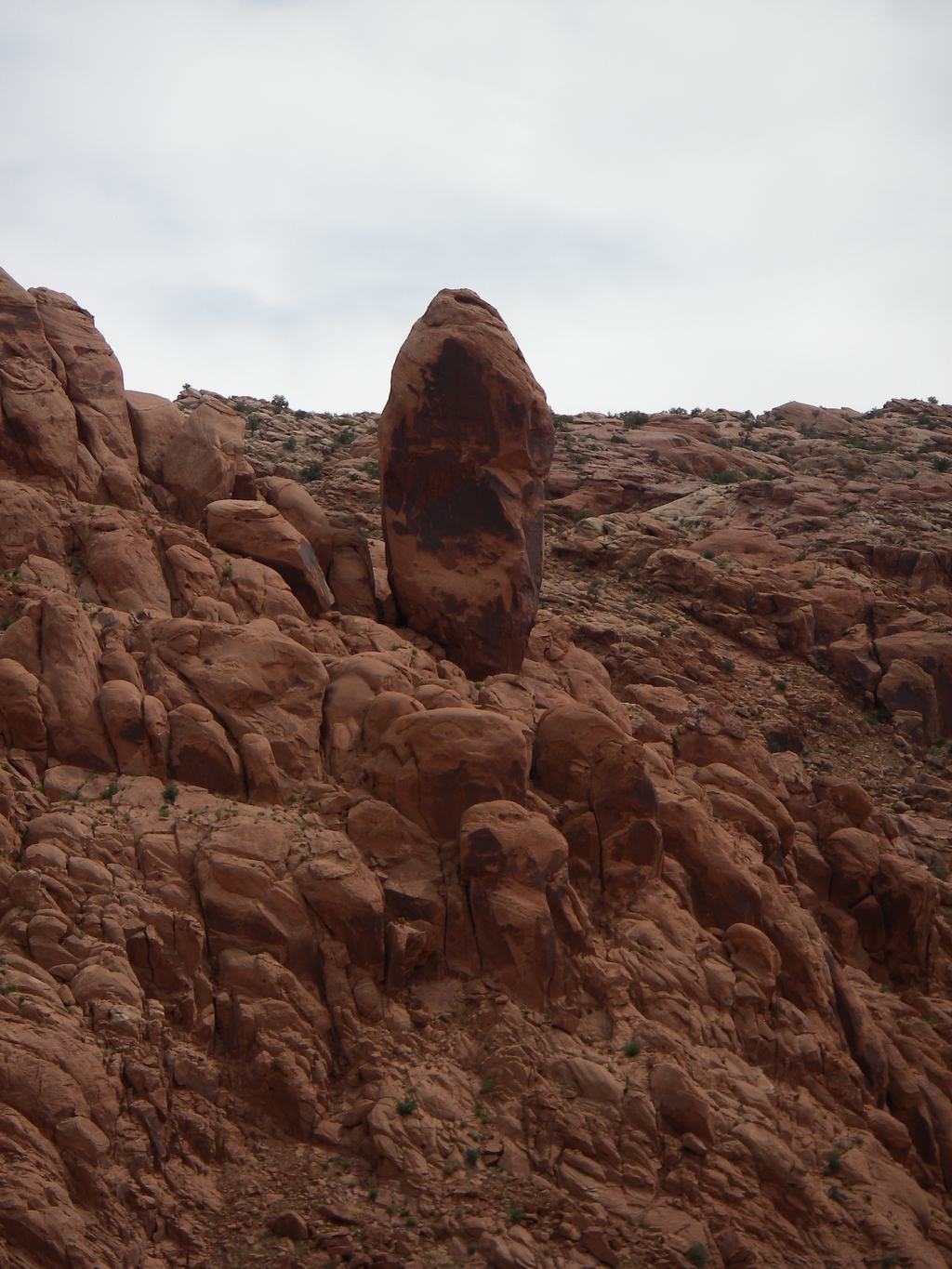
From the entrance to Arches National Park, just north of Moab on highway 191, you can easily spot the Pickle up on the skyline. You can park at the visitor center, or simply off highway 191 at a large sand pile near the Arches National Park entrance.
Route Description
Make the short hike to the Pickle (10-15 minutes) using the easiest path.
The route goes up the back side, away from the road, and is the obvious bolt ladder. Surprisingly, for a desert bolt ladder, the bolts are close together. The best option is to clip the first few with draws, until well off the ground, then skip every other bolt to save draws. About 3/4 of the way up, the route angles to the right, and begins the final section to the summit from a ledge. There are a few slab moves (5.7) just before the anchor. Climbing shoes are recommended for this short section. It can seem intimidating after being in aiders for the first part of the route, but the moves are surprisingly easy.
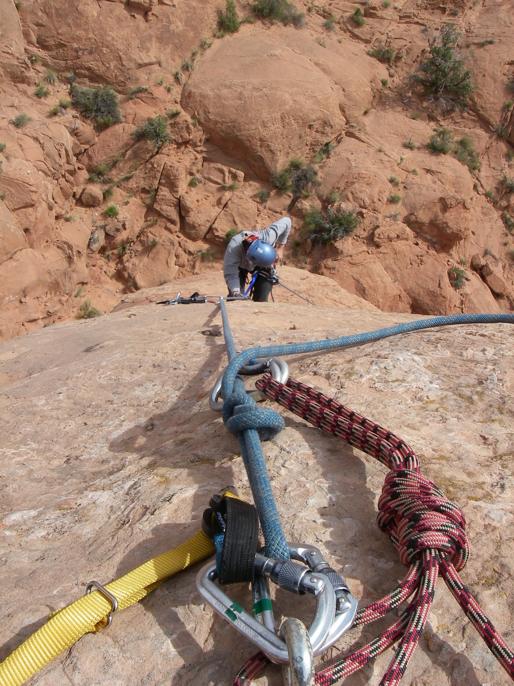
One single rope rappel will get you down. (with a 60 m ( 197 ft. ) rope).
Maps
12S 620843E 4274820N
38°36'49"N 109°36'43"W
12S 621171E 4274838N
38°36'50"N 109°36'30"W