 Hiking
Little Cottonwood Creek Trail
Hiking
Little Cottonwood Creek Trail
Little Cottonwood
Overview
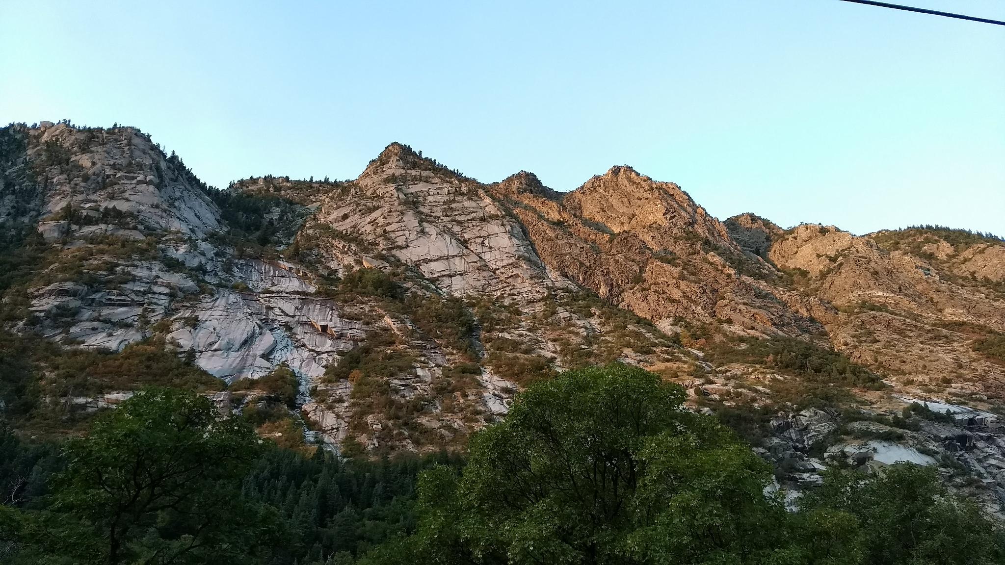
The Little Cottonwood Creek trail is a very popular multi-use trail. On a typical weekend afternoon, you are likely to see families, cyclists, and trail runners enjoying the path. It is charming, and if it weren't for the road noise, you would forget you are a few minutes from a major city.
From the mouth of the canyon to the Lisa Falls Trailhead is about 3 miles, making for a 6-mile round trip hike. I recommend doing a one-way hike with a car shuttle if you can. If you want a shorter walk without a shuttle, I recommend starting at Temple Quarry and meandering as far as desired. I found the lower section particularly lovely.
Getting There
Little Cottonwood Canyon is on the east side of the Salt Lake City Valley. Get there by following I-215 to the east, taking exit 6 off the interstate and heading east toward the mountains.
Follow 6200 South which becomes Wasatch Blvd for 1.8 miles to the stop light and signs for Big Cottonwood Canyon. Continue south (straight) through the light an additional 2.3 miles to a junction and light. Stay left here, reaching the mouth of Little Cottonwood Canyon in an additional 1.6 miles.
The trailhead is on the right at the mouth of the canyon and is signed Temple Quarry.
The upper trailhead is 2.8 miles up from the mouth of the canyon, with a dirt parking area on the right.
Route Description
From the Temple Quarry trailhead, follow the wide dirt trail as it heads east and enters the canyon. This first part is sunny and can be hot. In 5-10 minutes, the trail reaches a paved road. Stay straight, on Granite Cliffs Road, then take the next right onto Power Plant Lane. Looks carefully for signs pointing the way to the trail. The path is picked up again just past the power plant.
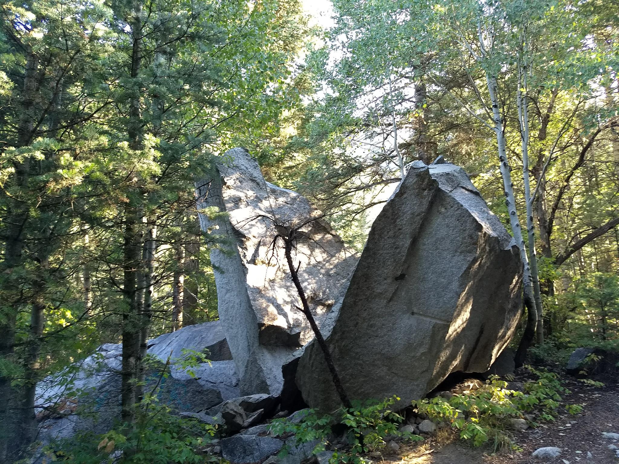
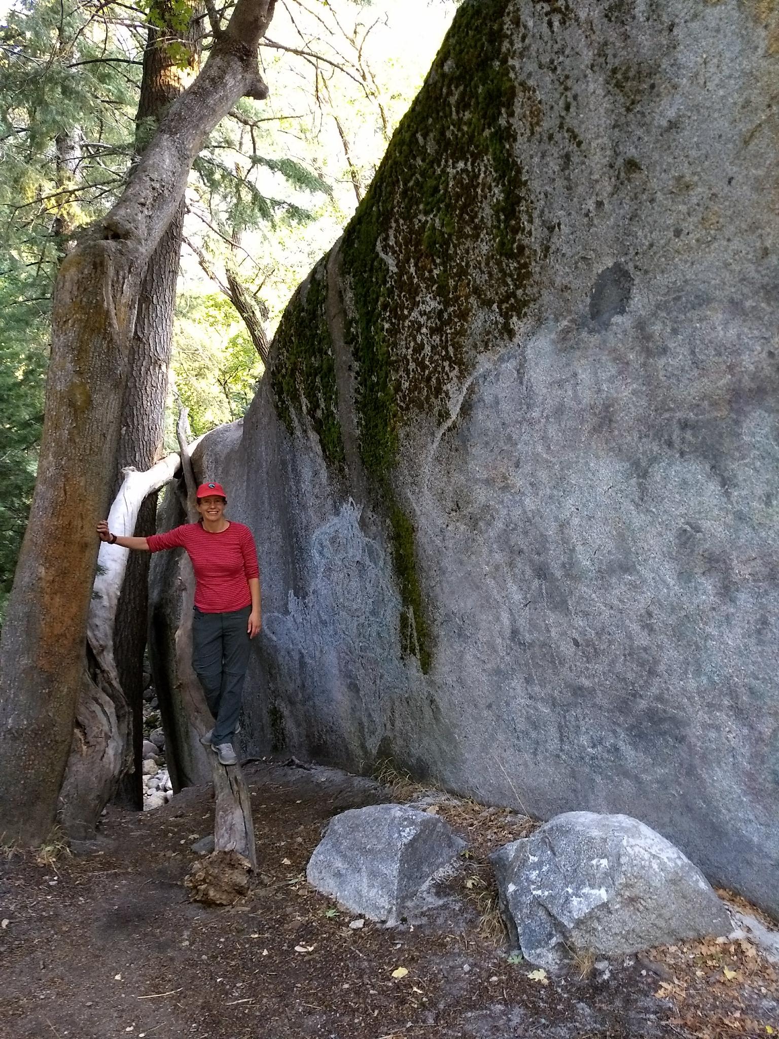
The wide trail soon crosses Little Cottonwood Creek and begins passing boulders the size of houses! The trail is now well shaded, cool relief on a hot day.
The trail follows the creek up the canyon, always gaining a bit of elevation, but never steep. At about 2.5 miles, the trail crosses the creek again on a wide bridge. Stay right here on the main path. It passes an old, small water wheel, and continues to a major junction at about 2.9 miles. Go left here, up the hill to the Lisa Falls Trailhead if you shuttled a car.
Interested in more distance? You can continue to the Ruin in Little Cottonwood Canyon from here by continuing straight. The old power plant is about a mile up the trail.
Maps

12T 434462E 4491524N
40°34'19"N 111°46'27"W
12T 438576E 4491430N
40°34'17"N 111°43'32"W
12T 438495E 4491541N
40°34'21"N 111°43'36"W