 Hiking
Waterfall Canyon
Hiking
Waterfall Canyon
Ogden
Overview
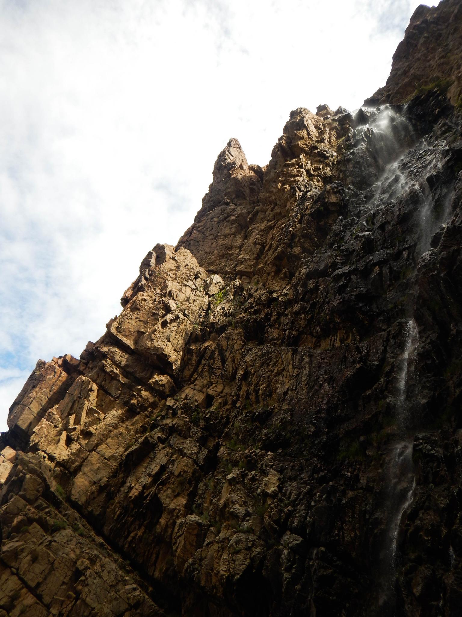
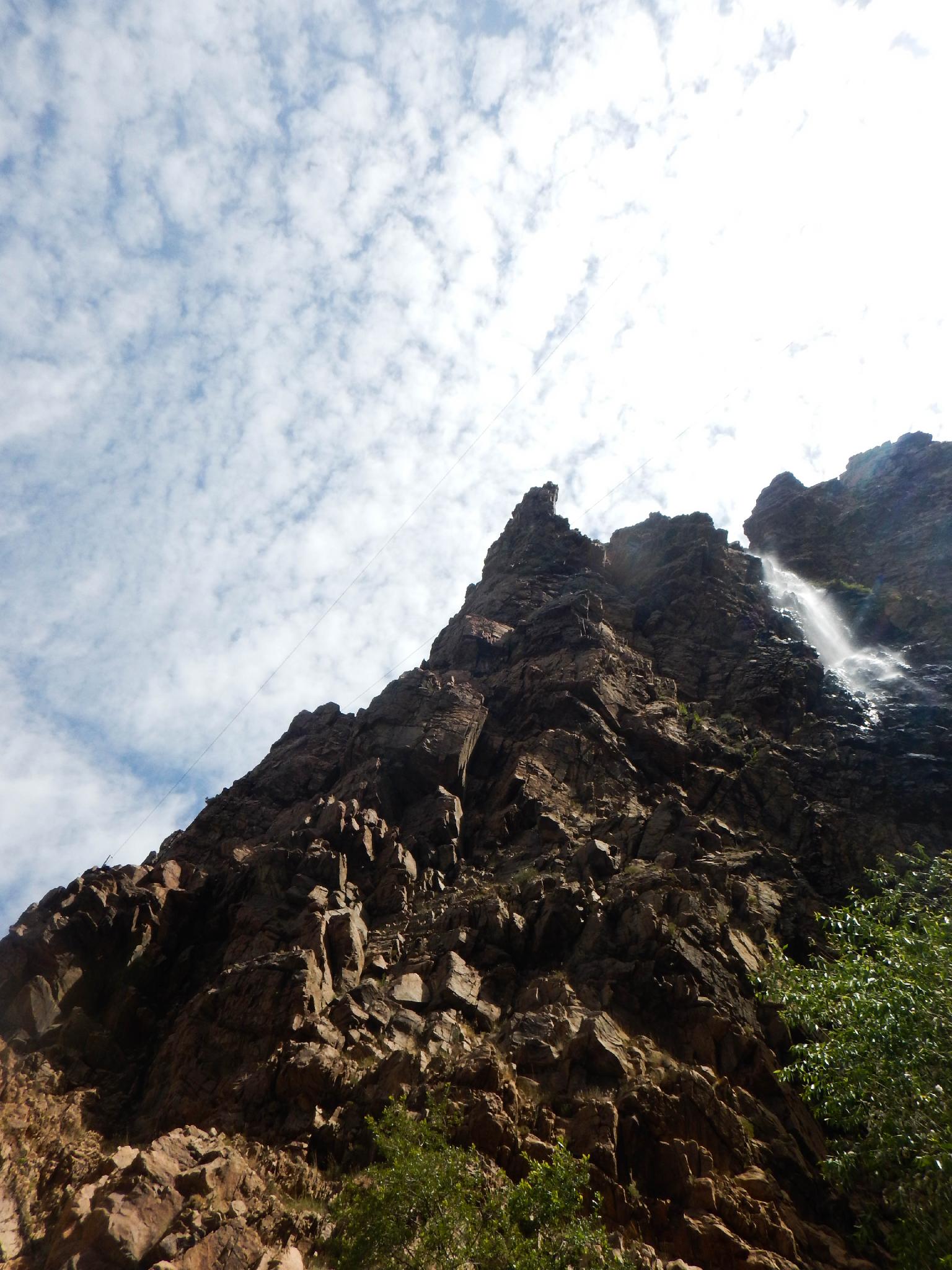
Why are hikers always drawn to waterfalls? I am not sure why waterfalls are always a popular hiking destination, but they generally are. Waterfall Canyon, near Ogden, is no exception. The 2.4-mile hike offers ok hiking to an excellent waterfall. It is one of the more popular hikes in the area, and on any given summer weekend, you are likely to see many people on the trail.
Looking for high adventure? In the summer season, guided waterfall zip lining is offered. Bring your wallet if you are interested, it is certainly a stunning backdrop to zip line across.
Getting There
The trailhead is on the east end of 29th Street in Ogden, UT. The easiest way to get there is to leave I-84 at 87 and head north. This is just at the mouth of Ogden Canyon.
Follow US89 north as it climbs the hill. Turn right on Harrison Blvd at the light and follow Harrison Blvd for 4.0 miles and turn right on 30th Street. Take the next left onto Tyler Avenue.
Follow Tyler Avenue for 1 block and turn right on 29th Street. Follow 29th Street to its end. The trailhead and parking lot are on the right. There is a restroom at the trailhead.
Route Description
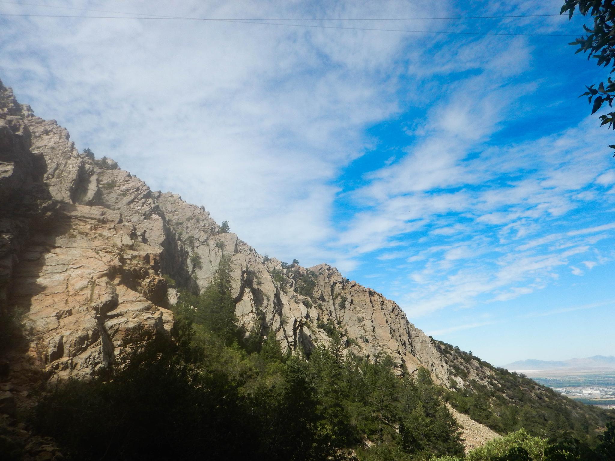
From the trailhead follow the trail south, making a quick left. This is generally well signed. Follow the trail as it climbs a short section and joins the Bonneville Shoreline Trail. Turn right and head south on the Bonneville Shoreline Trail.
The trail soon passes through a gate and enters private property. Again, please be respectful. The trail climbs a bit and meanders to Waterfall Canyon with a trail junction and sign. This first section of the hike offers little shade and can be quite hot.
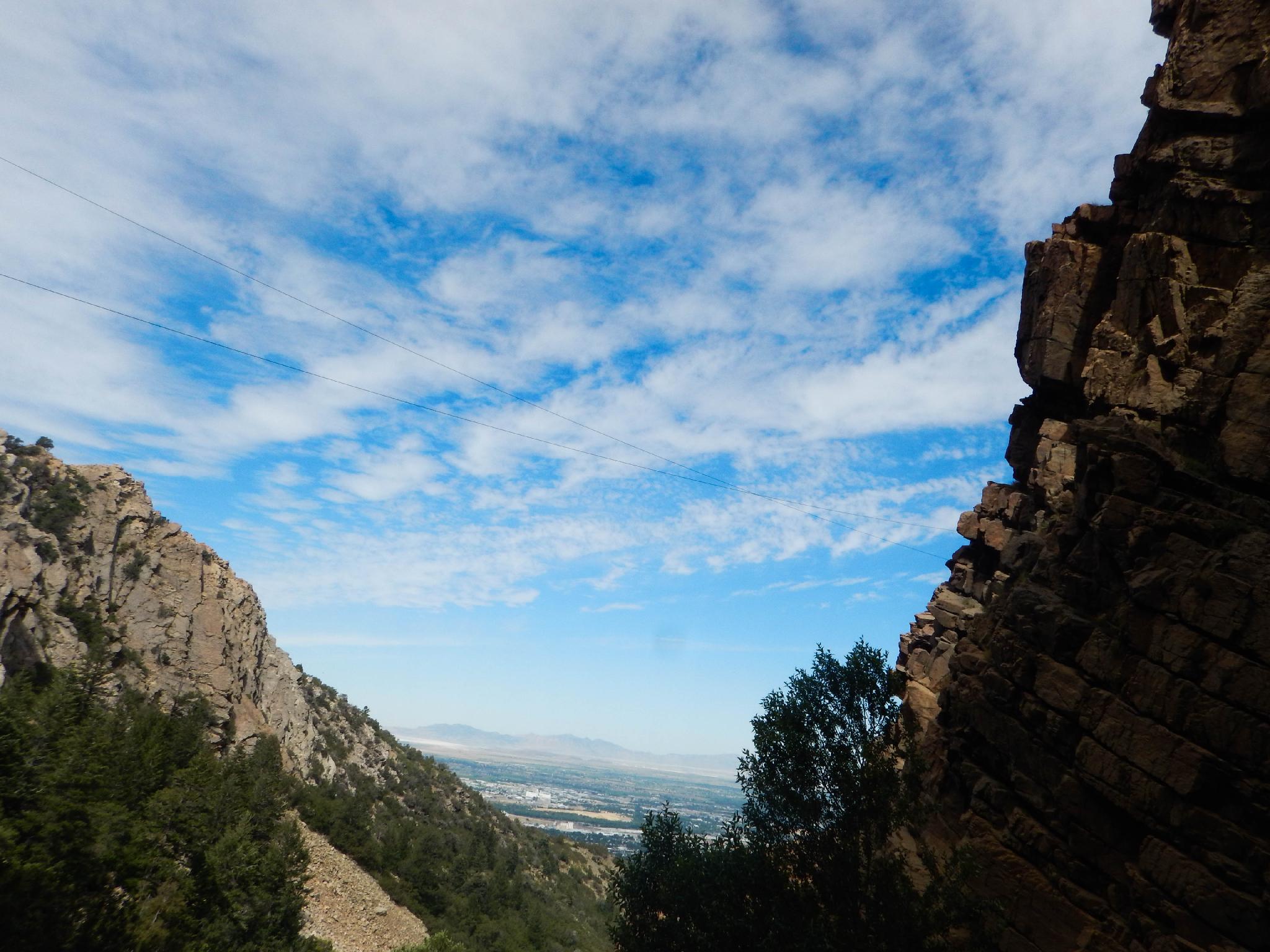
At the junction, turn left and leave the wide shoreline trail for the narrow and rocky final section of trail to the falls. This section of the trail climbs a fair bit and is rocky, but not difficult. The trail ends at the base of the falls.
I would recommend mid-day to afternoon for the best photos. The falls (in summer) were pretty well shaded until about noon.
Return the same way.
Maps

12T 421871E 4562564N
41°12'38"N 111°55'55"W
12T 421961E 4562343N
41°12'31"N 111°55'51"W
12T 421972E 4562224N
41°12'28"N 111°55'51"W
12T 422315E 4561713N
41°12'11"N 111°55'36"W
12T 422855E 4561408N
41°12'01"N 111°55'12"W