 Hiking
Amethyst Basin
Hiking
Amethyst Basin
Western Uintas
Overview
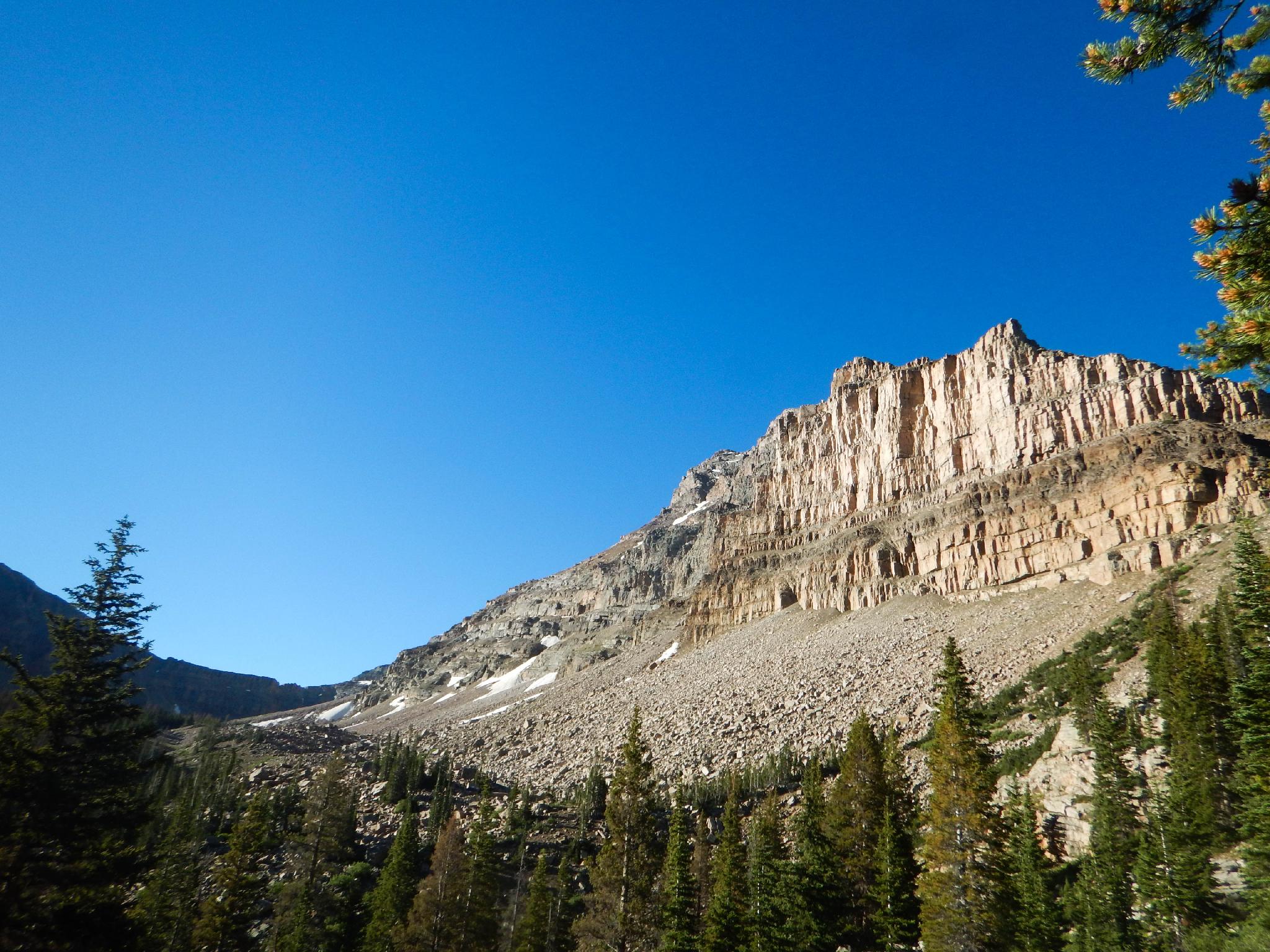
Amethyst Basin is considered one of the high use zones in the Uinta Mountains. With easy access to the trailhead, a reasonable hiking distance to the lake, and stunning views, it is easy to see why the area receives so much use. This is not the place to go if you're looking to escape the crowds and be alone. This is the place to go for big views and easy access to stunning scenery.
Even with the high use, the area doesn't feel overly crowded. Many people stop short of the basin and camp in the trees or leave the trail far enough to not be visible. This is a good moderate backpack and one I would especially recommend for beginning backpackers. At about 12 miles round trip and a little over 2000 feet of elevation gain, it is a pretty accessible overnight trip.
Getting There
The trail starts at the Christmas Meadows trailhead in the Uintas. Travel south out of Evanston Wyoming on highway 150. Follow this for about 30 miles, crossing into Utah after about 20 miles.
Turn left at the signed Christmas Meadows road. This is milepost 45.9, not far past the Ranger Station.
Follow the Christmas Meadows road, staying on the main road, about 3 miles to the Christmas Meadows campground. The trailhead parking is signed just after the campground and has a pit toilet.
Route Description
To The Junction (2.5 miles / 1 hour)
From the trailhead, follow the trail 2.5 miles along Christmas Meadows to the trail junction. This stretch of trail has minor ups and downs, but is more or less flat, gaining only 200 feet of elevation between the trailhead and junction at 2.5 miles.
To The Lake (3.9 miles / 2 hours)
At the trail junction, left is signed Amethyst Basin, right is signed Ryder Lake. Go left. The trail begins a steep ascent. It will gain about 2000 feet between the trailhead and Amethyst Lake.
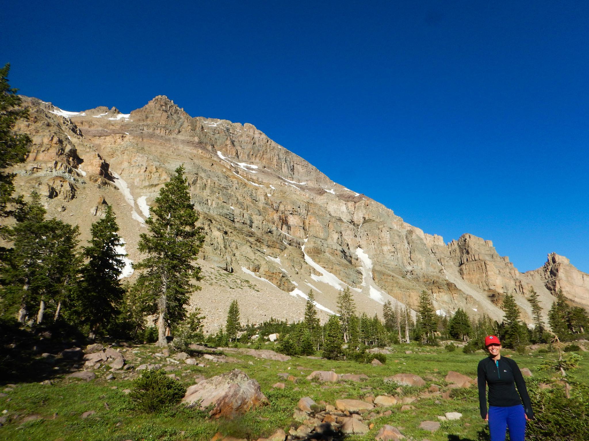
After about 2 miles on the trail, near the base of Ostler Peak, the basin opens up with nice views in all directions. When the trail crosses a large meadow, good campsites begin. A short distance from the meadow, the trail passes BR-24, an unnamed lake at the base of Ostler Peak. This is a popular camping spot and recommended if you want more protection from wind and weather that can be stronger higher up in the basin.
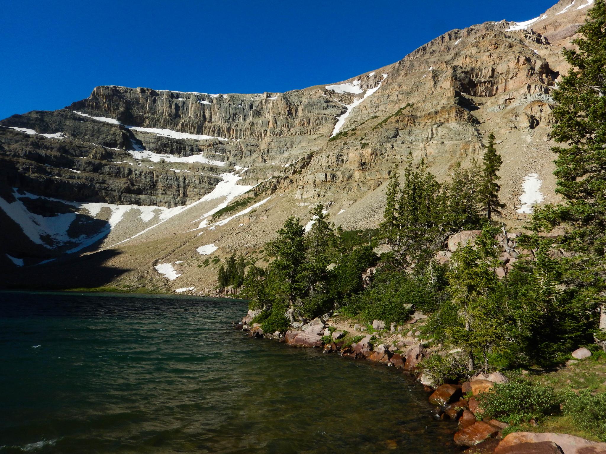
From BR-24, it is a short 15 or 20 minute stroll up to the end of the basin and Amethyst Lake tucked close to the steep surrounding walls. The area around the lake for quite some distance is a wet meadow and not good for camping. Be sure to camp on dry durable surfaces to help minimize impacts and please don't create new fire rings. There are plenty of existing sites if you look around for them.
Return the same way.
Maps

12T 516790E 4519046N
40°49'20"N 110°48'03"W
12T 517381E 4515674N
40°47'31"N 110°47'38"W
12T 517302E 4515514N
40°47'26"N 110°47'42"W
12T 519253E 4511994N
40°45'31"N 110°46'19"W
12T 520268E 4511229N
40°45'06"N 110°45'36"W