 Hiking
South Mountain
Hiking
South Mountain
Salt Lake Valley
Overview
This is a hike most Wasatch Front hikers have not done. Tucked at the southwest corner of the valley, it seems often overlooked except by the neighborhood surrounding it that hikes, bikes, and walks dogs in the area. South Mountain, surprisingly to me, is the high point of the Traverse Mountains. I had always assumed the peak was part of the Oquirrh Mountains.
The hike makes a good early season hike to get the legs in shape for summer peak season, or a late fall or even winter hike if there isn't too much snow on the ground. I'd avoid this peak during summer months when heat and rattlesnakes are likely both in abundance.
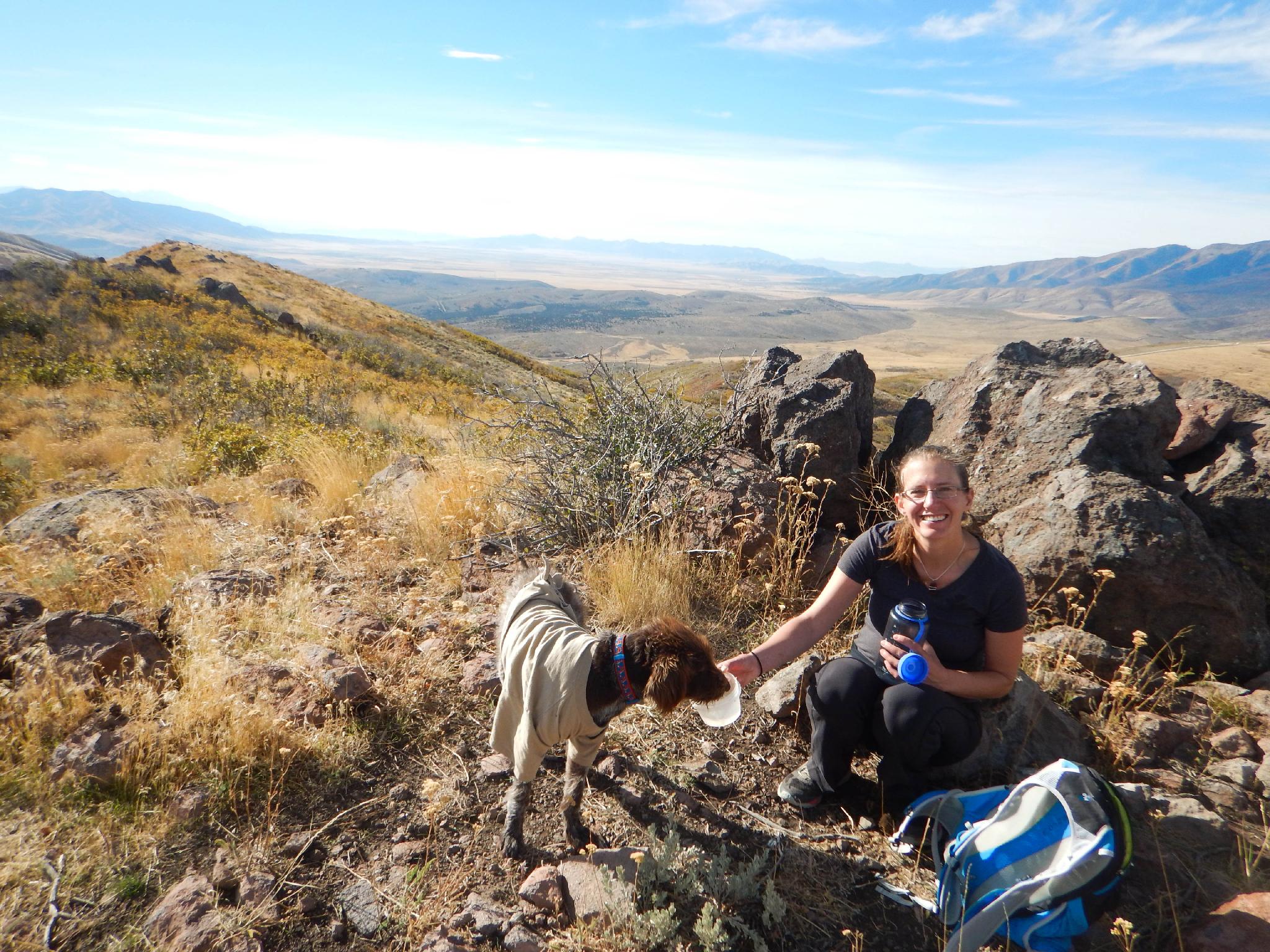
The reward of the hike is great views of the Salt Lake Valley. For convenience, if you live in the southern part of the Salt Lake Valley, this is tough to beat. All-in-all, this isn't a must do when considering all of the other amazing peaks and hikes along the Wasatch Front, but it does make a nice outing when you are looking for something a little off the beaten path.
Getting There
15193 Secret Canyon Circle Way is the trailhead. A smartphone can give directions.
Like to find it old school? Here are the details:
Start by taking Bangerter Highway to 134000 South. Take 134000 West, toward Kennecott Mine. After 1.2 miles, turn left (south) onto UT-85.
After a mile, turn right onto Jupiter Crest Road. Follow it 1.1 miles then turn right onto Ambermont Dr. After 0.4 miles, Ambermont Dr turns slightly right and becomes Briar Park Rd. Just after this, turn left onto Aurora Vista Dr. Then left onto Bugle Ridge Dr, then a final right to Secret Canyon Circle. Follow this to its end.
Route Description
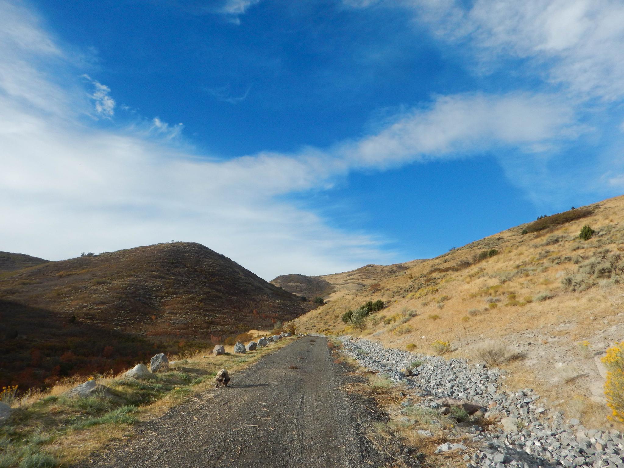
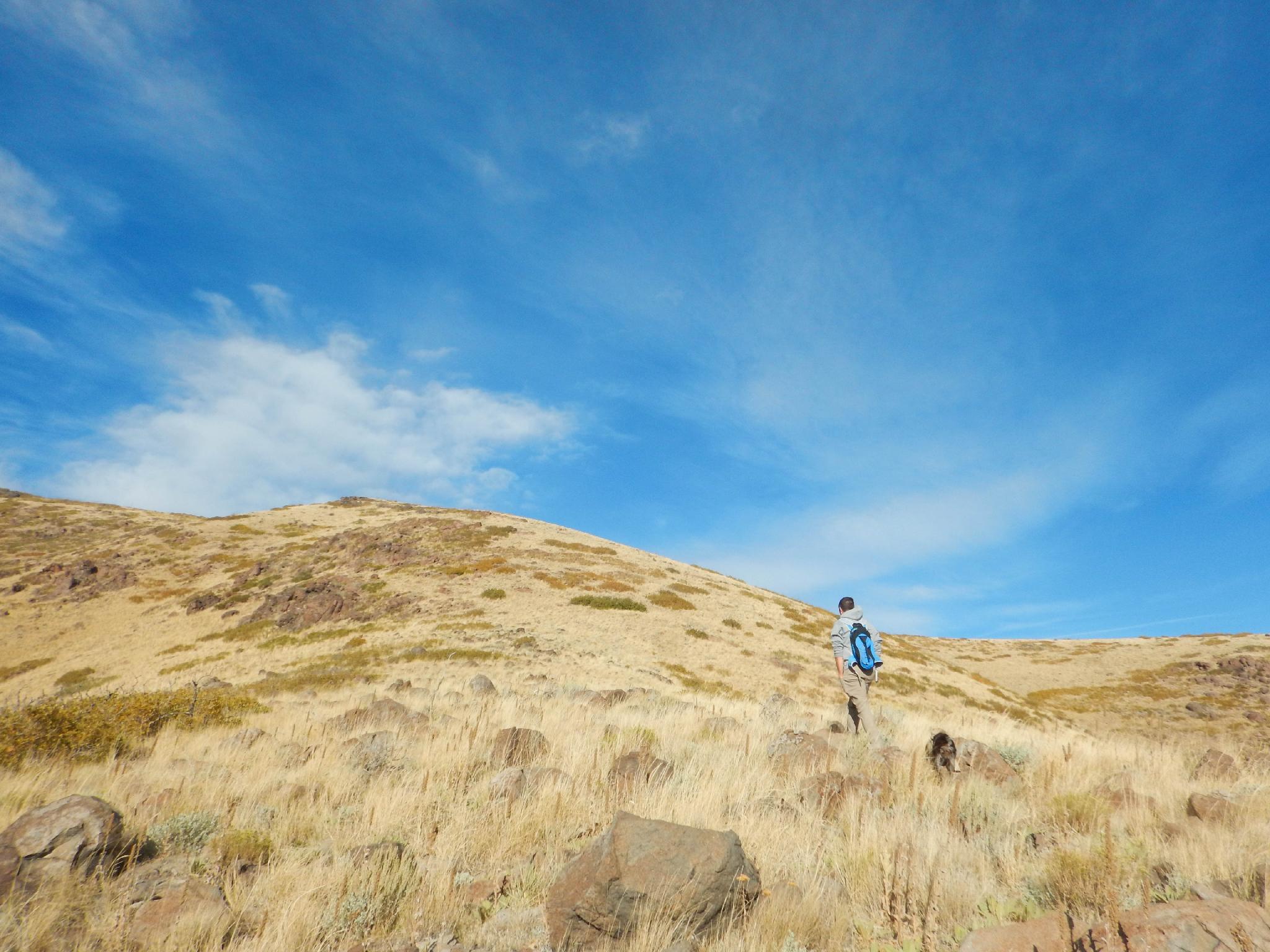
From the parking area, follow the utility road south into the canyon within a few minutes, a fenced utility area is reached at the end of the road. A social trail continues from here, with the summit due south. The easiest approach is to follow the social trail that begins on the south side of the fence. This is a hiker/game trail that quickly climbs through the underbrush and works up the ridge. Follow it to the main ridge proper.
Once on the main ridge, an old jeep/ATV trail is easy to follow as it climbs up near the summit. Just before the summit, when the jeep trail begins descending, leave it and follow social/game trails 2 minutes to the true summit. There is wreckage here of a likely communications tower that has blown down.
Return the same way.
Photos
Maps

12T 413321E 4480979N
40°28'30"N 112°01'21"W
12T 412958E 4480682N
40°28'20"N 112°01'36"W
12T 412019E 4480537N
40°28'15"N 112°02'16"W
12T 411835E 4480230N
40°28'05"N 112°02'24"W
12T 411900E 4480113N
40°28'01"N 112°02'21"W