 Hiking
East Mountain
Hiking
East Mountain
Emery County Highpoint
Overview
Sun

81°
|
54°
Mon
78°
|
54°
Tue
79°
|
51°
Wed
79°
|
51°
Thu
79°
|
54°
RATING:
Easy Hiking.
LENGTH:
2 hours (4.2 miles)
MAPS:
Rilda Canyon, UT
SEASON:
Summer, Fall (mid-July can be prime wild flower time)
GEAR:
Standard Hiking Gear
WATER:
A spring on the ridgeline.
NOTES:
The last 2.1 miles to the trailhead are rough, and require high clearance. This could be walked if needed, and would add 1-1.5 hours to the day.
Sun
81°
|
54°
Mon
78°
|
54°
Tue
79°
|
51°
Wed
79°
|
51°
Thu
79°
|
54°
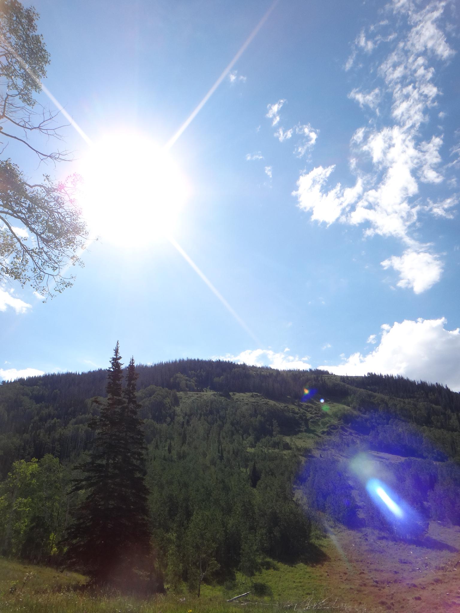
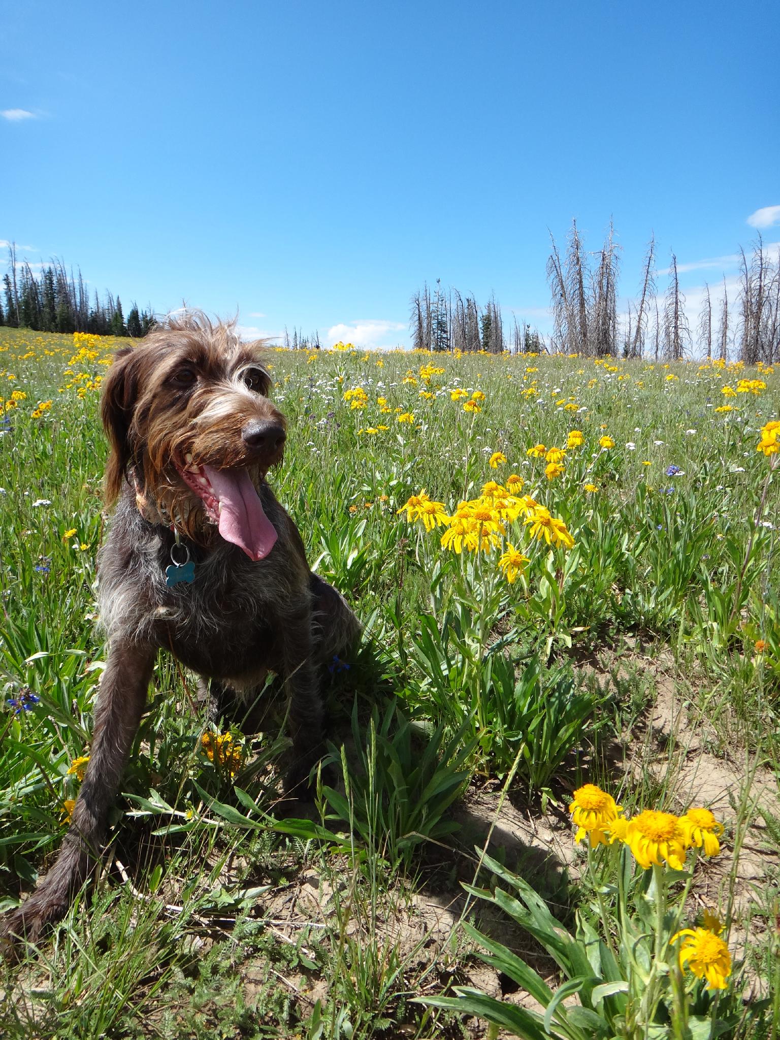
A lesser done peak, East Mountain is generally done because it is the highest point of Emery County. The hike, though, is pleasantly surprising. A leisurely stroll, it meanders up the mountain via a well defined trail through forest shade, passing a couple of springs along the way. Once on the ridge, it takes a more direct route to the summit, crossing meadows that, at least in mid-July, were well covered in wild flowers. A bit of length give some meat to the day, though this is a good family friendly hike for those that can cover the distance.
It is also of note than Crandall Mine, of the famous 2007 Crandall Canyon Mine disaster is under East Mountain.
There is good camping at the near by Indian Creek Campground, or one of the many others in the area.
It is also of note than Crandall Mine, of the famous 2007 Crandall Canyon Mine disaster is under East Mountain.
There is good camping at the near by Indian Creek Campground, or one of the many others in the area.
Getting There
From Fairview:
- Fo east on UT-31 for about 18.2 miles.
- Turn right here, on forest road 0014 and follow this good dirt road 13 miles.
- Turn left and this junction for 0.7 miles
- Left again for 1.3 miles to the entrance of Indian Creek Campground
- Don't enter the campground, but go north on the dirt road to its end at 2.1 miles. Just before the end of the road, an ATV trail goes off on the left, stay right. Those with low clearance vehicles may need to walk this section, it can be rutted.
Route Description
Summit: 3274 m ( 10742 ft. )
Trailhead: 2827 m ( 9275 ft. )
From the trailhead, follow the trail north, then a bit east. A grassy area a minute from the trailhead obscures the trail a bit, just head toward the fence to the north east. At the fence line, the trail becomes easy to follow and works its way east, then north to the ridge of East Mountain. Go right at the trail junction on the ridge (Following the East Mountain trail #085), then right again at the next junction a few minutes up the trail.
From the last junction, the trail begins climbing steeply. Follow it up the grassy hillside to near the top, then cross country to the true summit.
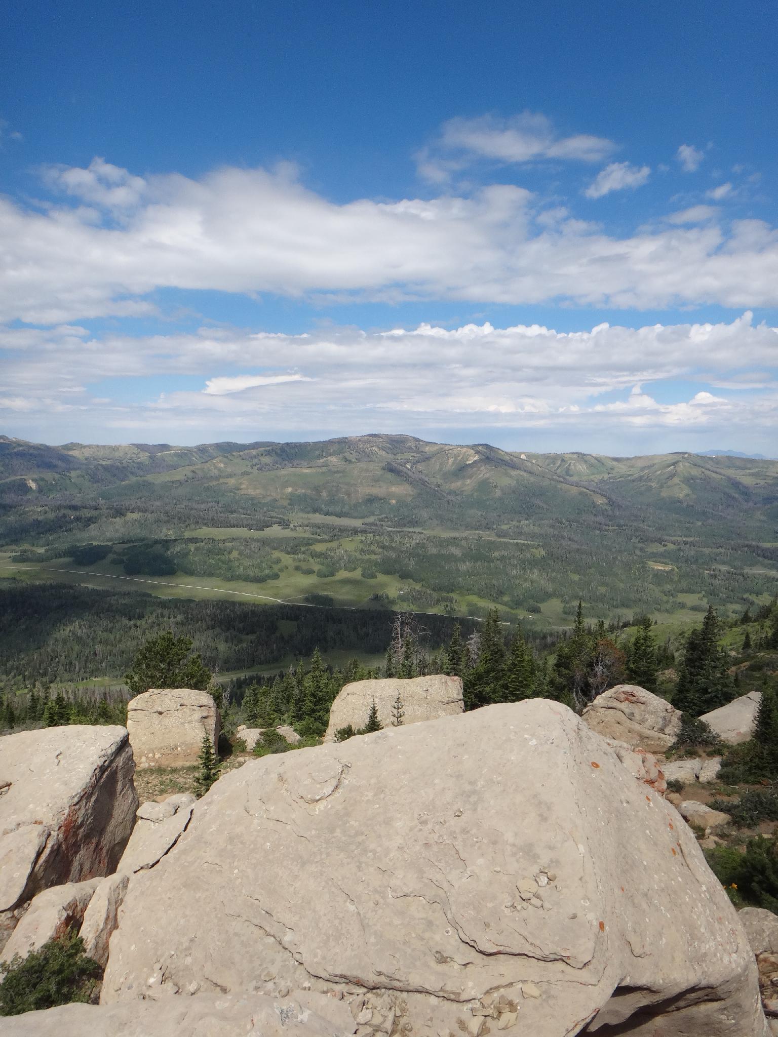
The summit offers great views to the west of the ridge the Skyline drive is on, and the bigger mountain in the far distance is Mt. Nebo, Utah County highpoint.
Trailhead: 2827 m ( 9275 ft. )
From the trailhead, follow the trail north, then a bit east. A grassy area a minute from the trailhead obscures the trail a bit, just head toward the fence to the north east. At the fence line, the trail becomes easy to follow and works its way east, then north to the ridge of East Mountain. Go right at the trail junction on the ridge (Following the East Mountain trail #085), then right again at the next junction a few minutes up the trail.
From the last junction, the trail begins climbing steeply. Follow it up the grassy hillside to near the top, then cross country to the true summit.
The summit offers great views to the west of the ridge the Skyline drive is on, and the bigger mountain in the far distance is Mt. Nebo, Utah County highpoint.
Maps
Route /
4.13
miles /
Elevation Range 9,259
- 10,739
ft.
Printable Maps:


Trailhead
12S 480033E 4370381N
39°28'58"N 111°13'56"W
Junction
12S 480962E 4370918N
39°29'16"N 111°13'17"W
Junction 2
12S 481130E 4370842N
39°29'13"N 111°13'10"W
Summit
12S 481337E 4369553N
39°28'31"N 111°13'01"W