
 Hiking
Fox Lake
Hiking
Fox Lake
South Slope Uinta Mountains
Overview


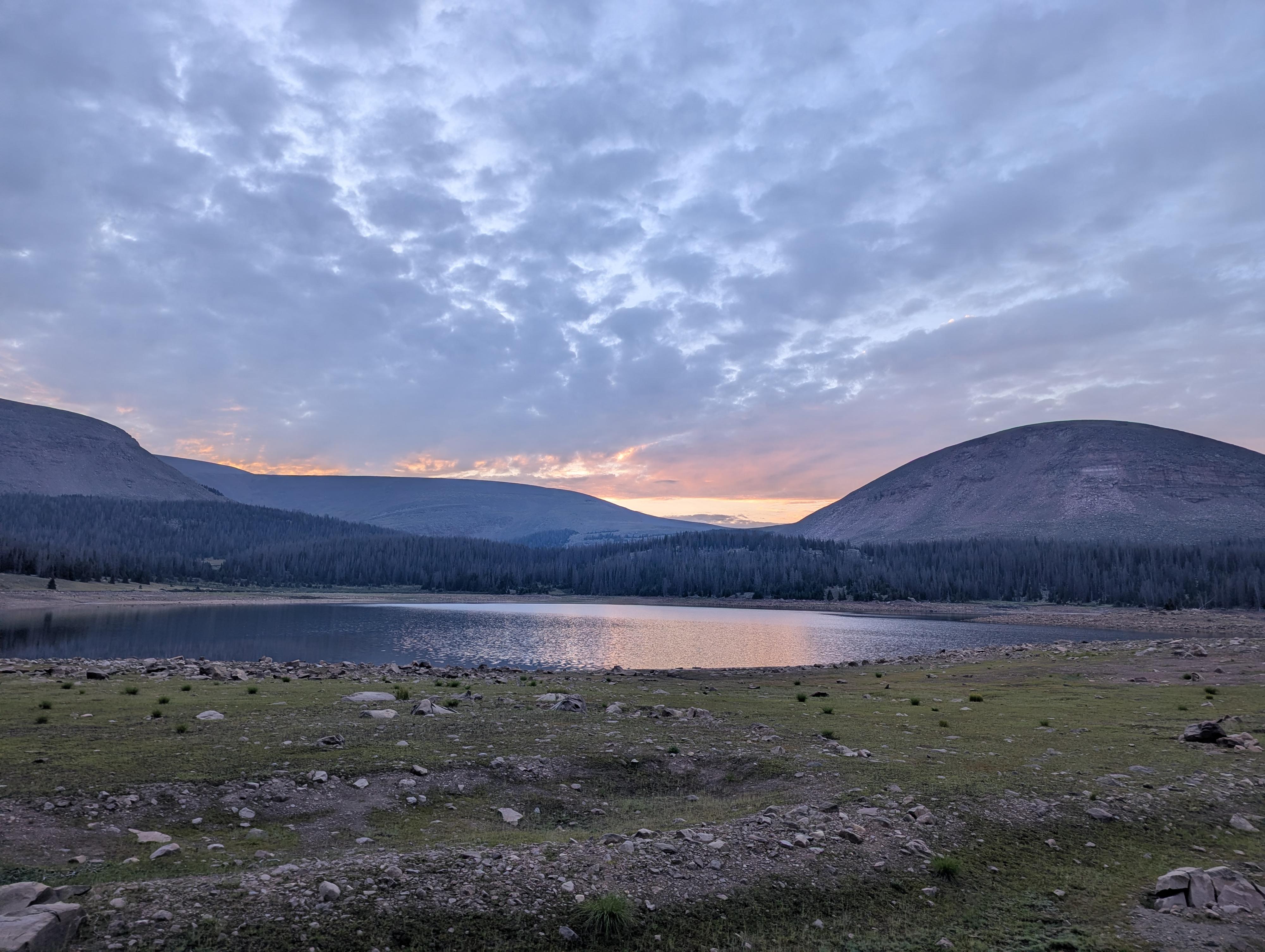
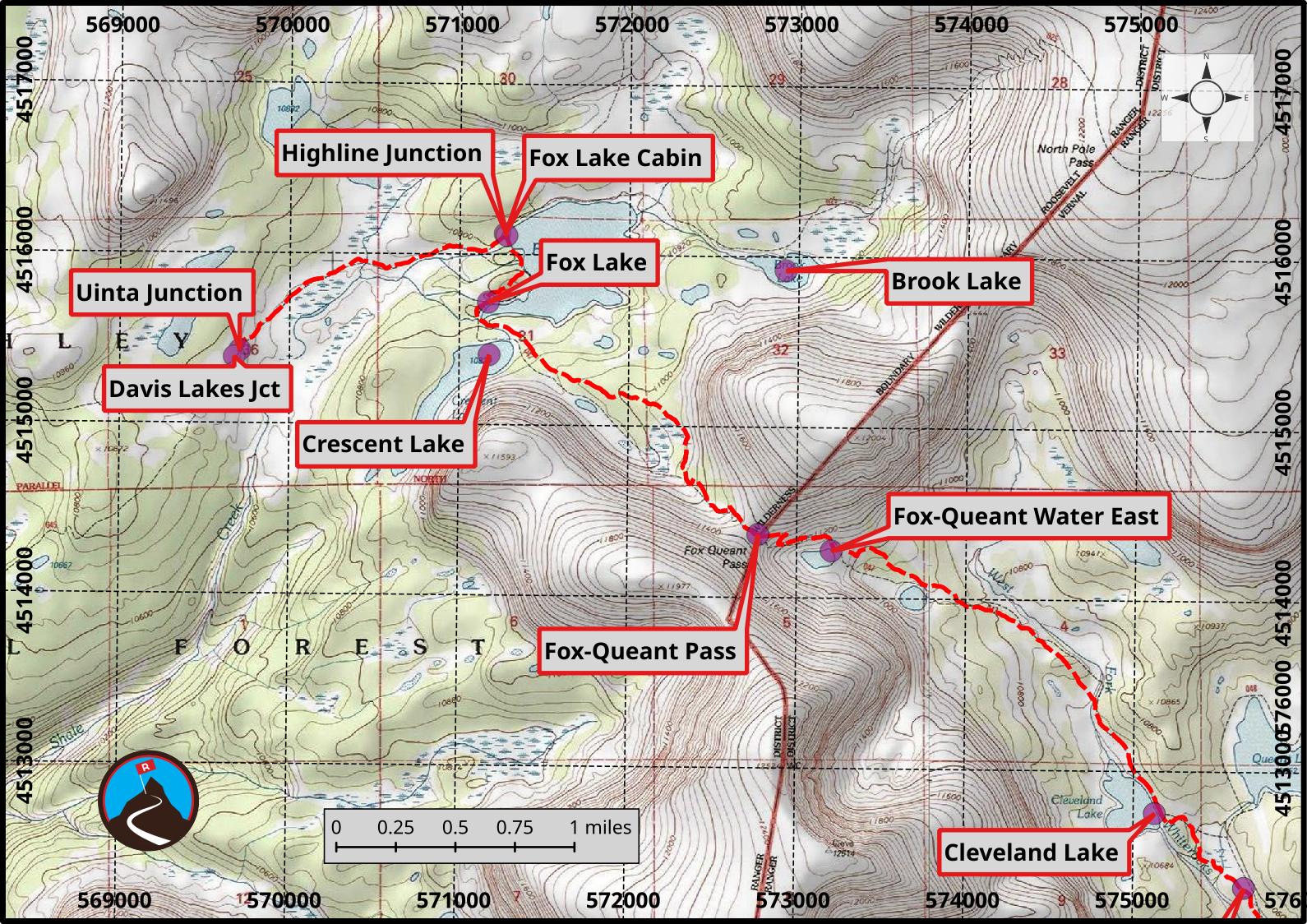
The West Fork Whiterocks Trail starts at just under 10,000 feet and traverses up and over Fox Queant Pass to almost 11,400 feet before descending to Fox Lake and joining the Highline Trail. It is a lovely, high-elevation trail that gets to the heart of the High Uinta Wilderness.
Fox Lake is an excellent backpack for those wanting to get in the High Uinta Mountain Wilderness without a terribly long approach. Alpine beauty surrounds the lake. Being on the Highline Trail, and with a relatively easy approach hike, the Fox Lake proper can see a fair amount of use on a busy summer weekend. The nearby Crescent and Brook Lakes, as well as the many alpine meadows not far from the lake, can provide a place to get away from people.
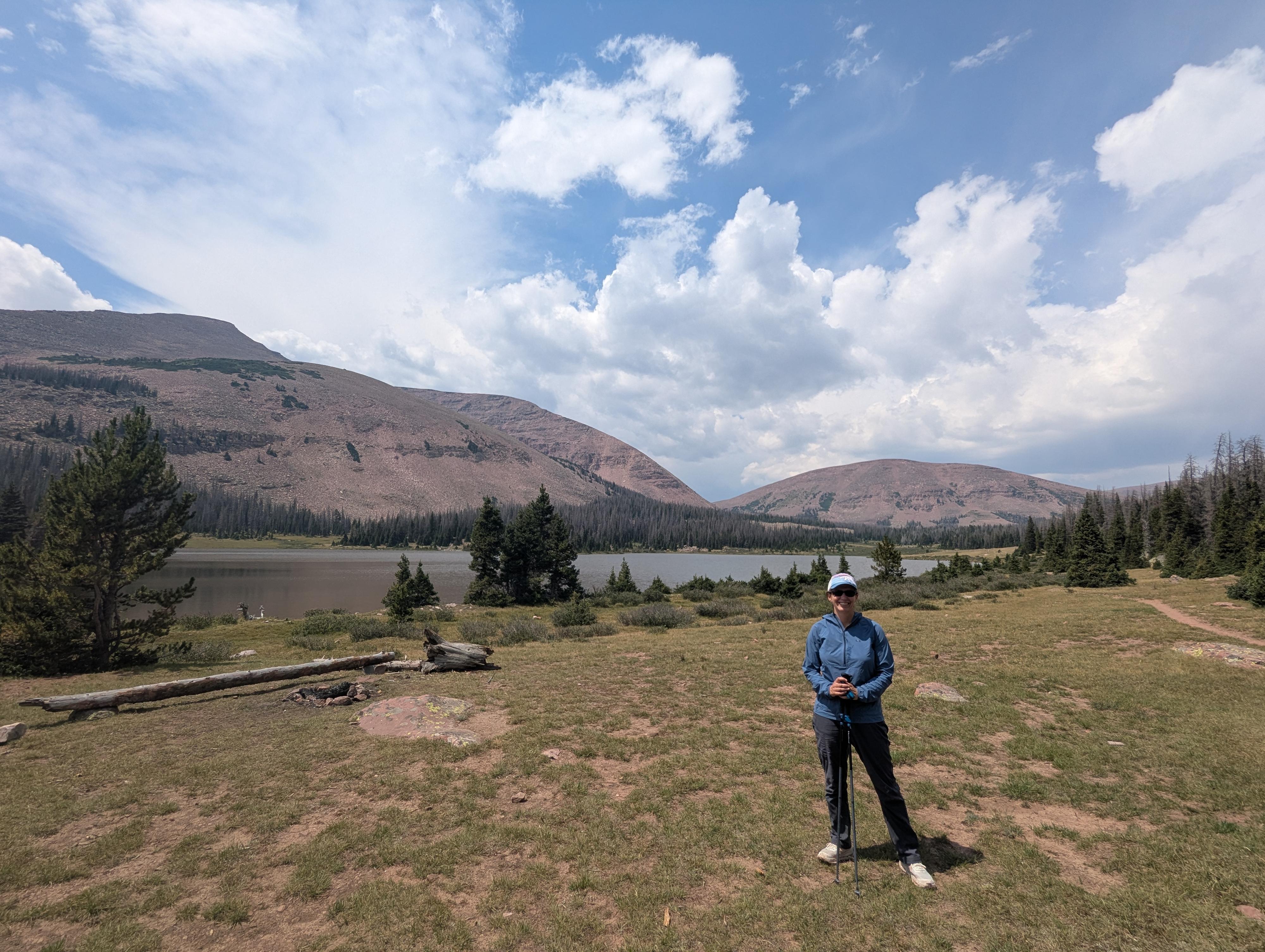
We camped west of the lake in a small site in the trees, and it was quiet, protected, and lovely. It seems many camp right along the shore of Fox Lake, so even a short distance is likely to get you some space if you're looking for it. The route to the lake passes near Cleveland Lake on the south side of the pass. This too is a lovely lake. We saw one group fishing just downstream from Cleveland Lake that was catching fish as fast as they could throw a hook in!
Getting There
Also note, FR117 used for a section of the drive, also goes from the small community of White Rocks up to the junction with FR110. You can reach the trail from the White Rocks community via that route. It is a few miles longer than the route described if coming from Roosevelt and also very rough.
From downtown Roosevelt, where UT-121 and US-191 intersect and the major junction in town, go west on UT-121 and continue following UT-121 for 10 miles. At 10 miles you will pass through the small community of Neola. Reset your odometer in the center of Neola.
Continue straight through Neola. The road is still paved as it heads north, but on our trip, it became quite potholed the farther we got from Neola before finally turning to dirt. 8.3 miles from Neola is a major junction. Reset your odometer and go right.
From this junction, the road heads up and parallels the Uinta River. In about 4 miles is another major junction; go right here, crossing the Uinta River. Just across the bridge, stay straight as the road begins climbing into the mountains. Not far from the bridge, this road becomes designated Forest Road 117.
Follow the road for about 12.2 miles past the bridge to a T junction with Forest Road 110. Go left here on FR110 and follow it for 3.6 miles to where the signed road to the West Fork of Whiterocks Trailhead leaves on the left. Follow the side road 0.6 miles to its end at a large parking area and the trailhead. There is a pit toilet at the trailhead.
Route Description
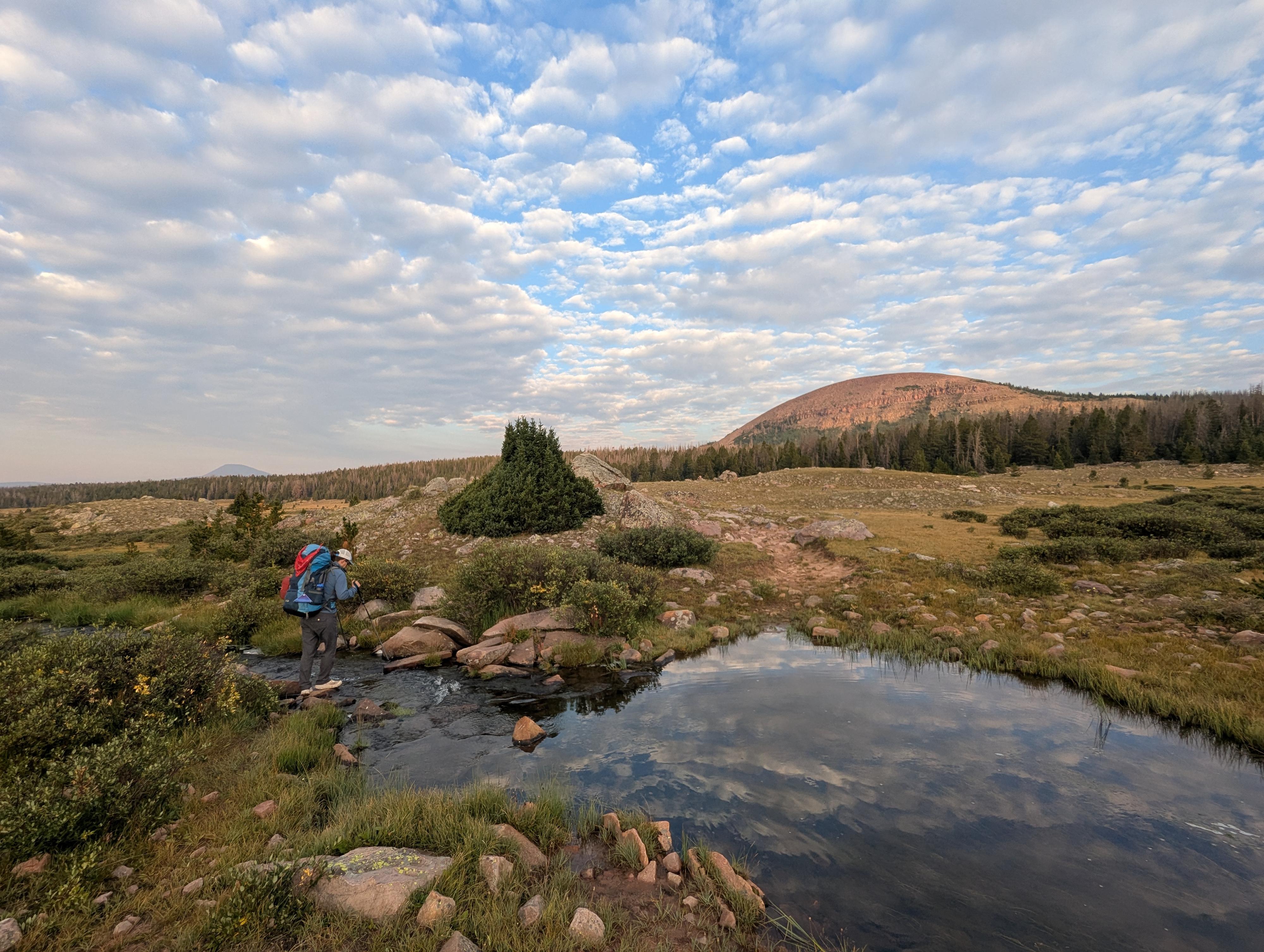
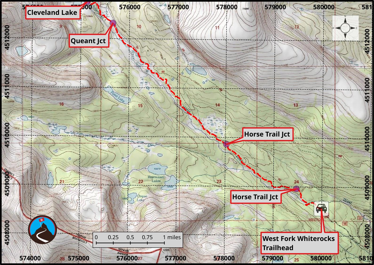
From the trailhead, follow the trail up along the West Fork of the Whiterocks River. In about 10-15 minutes, a 1/2 mile, a junction is reached. Backpackers and hikers take the left route, while those on horses stay straight. The left trail stays closer to the stream. At about 1.75 miles from the trailhead, the horse trail rejoins at a junction. Stay left here, continuing up the drainage. About 4.5 miles from the trailhead, the junction to Queant Lake is reached. Queant Lake is about 1/3 of a mile up the right trail. Stay left instead, reaching Cleveland Lake at about 5 miles from the trailhead.
If you need water, I would filter from the flowing stream coming out of Cleveland Lake. You can also filter at Cleveland Lake proper or one of two smaller lakes you'll encounter just before you head up to the pass.
There are some good campsites at Cleveland Lake. The distance also makes Cleveland Lake a reasonable day hike for many.
Continuing past Cleveland, the trail follows the stream north for a bit, then begins climbing northwest up to Fox Queant Pass. The trail up to the pass has a very rocky section but is easy to find and follow. We found it straightforward, but the person behind us on the trail said he found it difficult. It is rocky!
From the pass, you can see Fox Lake on the other side. At a bit under a mile, it doesn't look far but does take a bit to reach. There is a stream that follows the trail about midway down. You will pass Crescent Lake just before reaching Fox Lake, which seems less used than Fox Lake.
If you follow the Fox Lake shoreline clockwise, you'll reach the dam and a small wooden structure on the dam. On the north end of the dam are the ruins of an old building. I heard both that it was used by those building the dam and also that it was used by sheepherders. I suppose possibly both!
Brook Lake is to the east and a touch south of Fox Lake but small. Heading west along the Highline Trail toward Anderson Pass, the trail reaches large, beautiful open meadows about 1/2 mile from Fox Lake. Camping in the trees at the edge of this meadow area would be lovely. This area would be a great place for a base camp to explore Davis, Kidney, or Divide Lakes.
Return the same way.
Photos
Maps
12T 579994E 4508559N
40°43'27"N 110°03'10"W
12T 579475E 4508959N
40°43'40"N 110°03'32"W
12T 578022E 4509858N
40°44'09"N 110°04'33"W
12T 575657E 4512317N
40°45'30"N 110°06'13"W
12T 575126E 4512752N
40°45'44"N 110°06'36"W
12T 573205E 4514276N
40°46'34"N 110°07'57"W
12T 572772E 4514369N
40°46'37"N 110°08'15"W
12T 571177E 4515409N
40°47'12"N 110°09'23"W
12T 571170E 4515718N
40°47'22"N 110°09'23"W
12T 571266E 4516120N
40°47'35"N 110°09'19"W
12T 572924E 4515918N
40°47'28"N 110°08'08"W
12T 571275E 4516109N
40°47'34"N 110°09'19"W
12T 569706E 4515426N
40°47'13"N 110°10'26"W
12T 569674E 4515388N
40°47'12"N 110°10'27"W