 Hiking Ostler Lake and Peak
Western Uintas
Overview
|
Sun 31 | 10 |
Mon 25 | 16 |
Tue 18 | 9 |
Wed 18 | 8 |
Thu 18 | 2 |
| View Full Weather Details | ||||
|
Sun 31 | 10 |
Mon 25 | 16 |
Tue 18 | 9 |
Wed 18 | 8 |
Thu 18 | 2 |
| View Full Weather Details | ||||
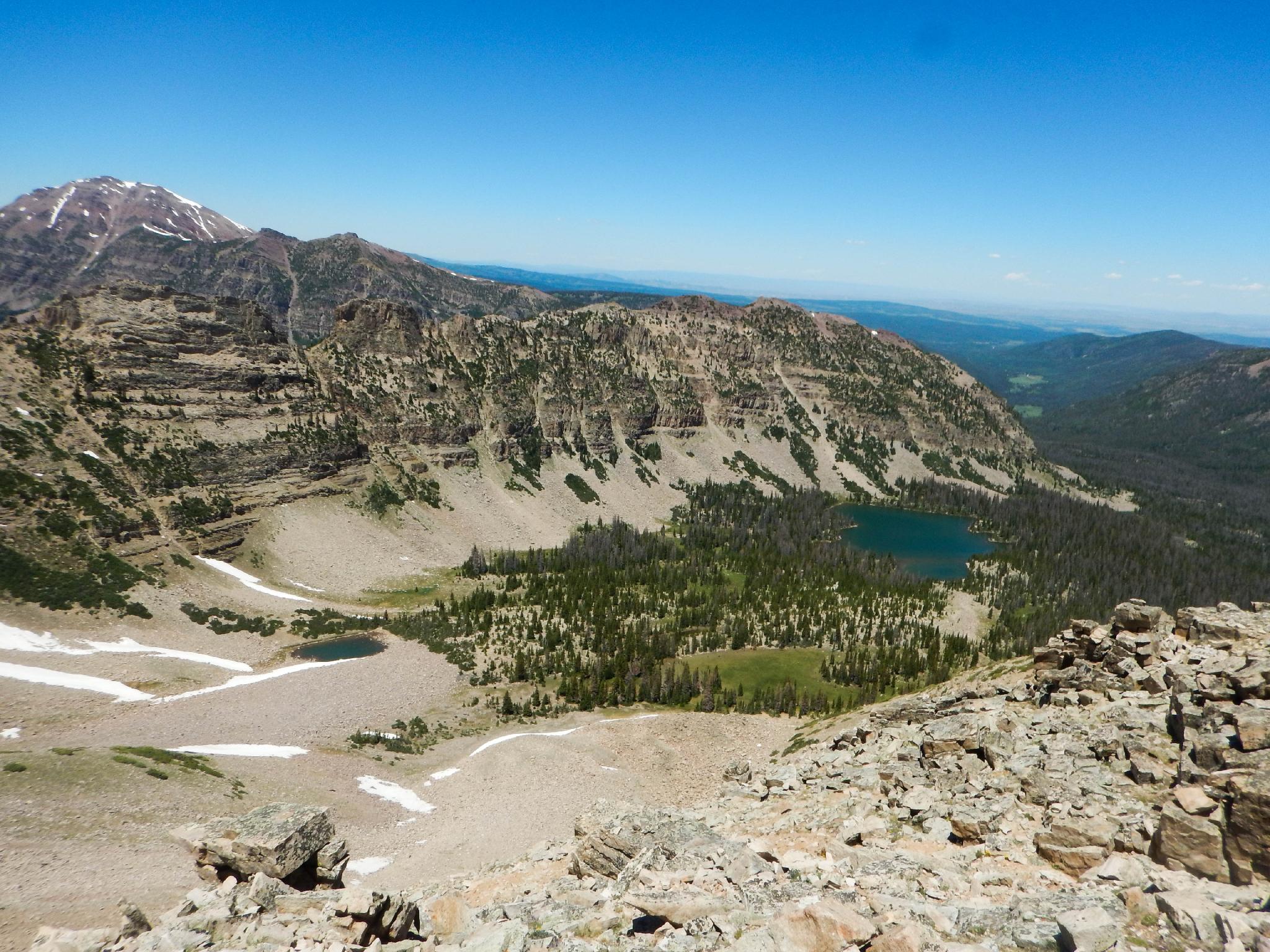
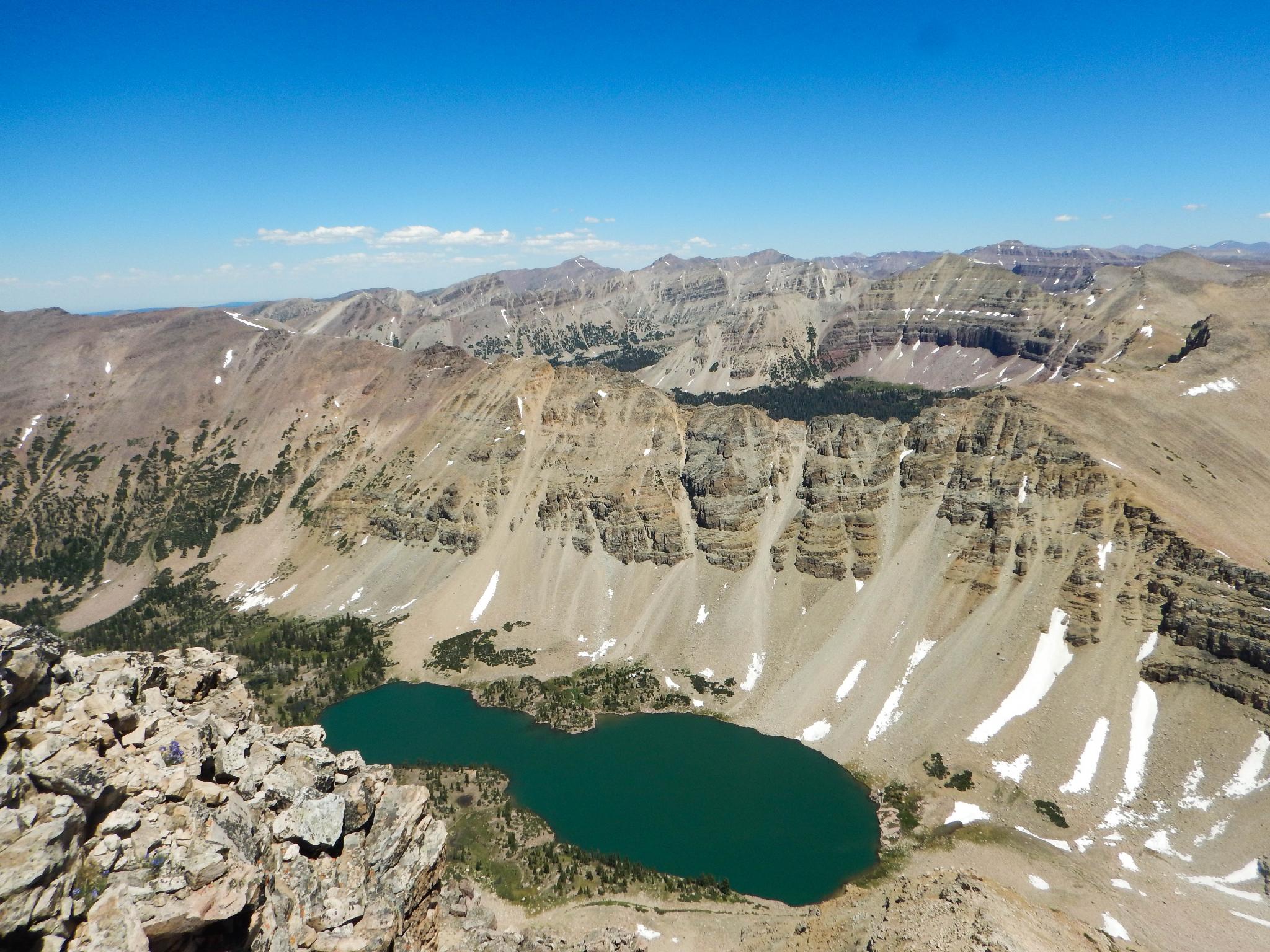
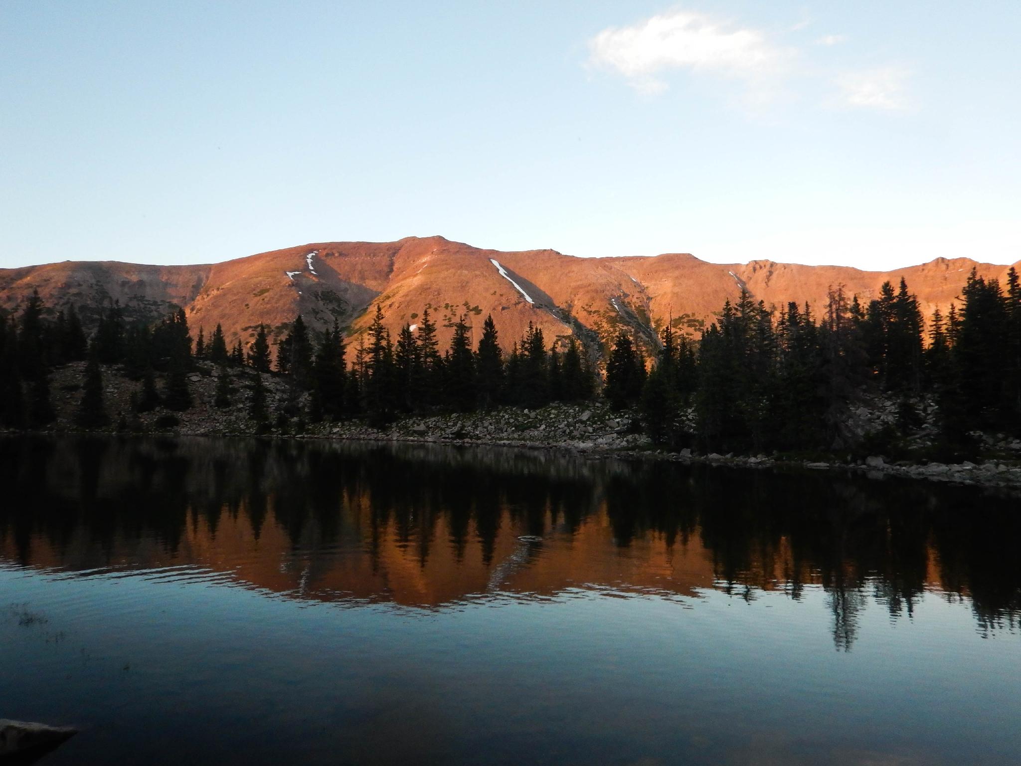
Ostler Lake and Ostler Peak make a great add-on day to an Amethyst Basin trip or a separate trip on its own. Ostler Lake is pretty, with big views of the east ridge of Amethyst Basin. Several fishermen along the shore would lead me to believe the fishing is at least thought to be good, though I didn't see any of the fishermen actually catch any fish.
If you are an experienced peak bagger, Ostler Peak offers a very off-the-beaten-path route to an outstanding summit. From Ostler Lake, as you gaze at the north ridge of Ostler Peak, the ridge looks like a talus and scree fest that would give a mountain goat pause. In truth, there are some loose sections, but most of the route is quite solid. Some moderate route finding keeps the route tame with nice views all along the route. With decent route finding, this is a class 3 summit. Oh, and ample evidence along the way proves this is a very commonly used route by local mountain goats. On our trip, we ran into a family of four near the summit, as well as many tracks, scat, and piles of fur along most of the route.
Getting There
The trail starts at the Christmas Meadows trailhead in the Uintas. Travel south out of Evanston Wyoming on highway 150. Follow this for about 30 miles, crossing into Utah after about 20 miles.
Turn left at the signed Christmas Meadows road. This is milepost 45.9, not far past the Ranger Station.
Follow the Christmas Meadows road, staying on the main road, about 3 miles to the Christmas Meadows campground. The trailhead parking is signed just after the campground and has a pit toilet.
Route
Summit: 3876 m ( 12717 ft. )
Trailhead: 2682 m ( 8800 ft. )
To The Junction (2.5 miles / 1 hour)
The approach to Ostler Lake is mostly the same as the approach to Amethyst Basin. From the trailhead, follow the trail 2.5 miles along Christmas Meadows to the trail junction. This stretch of trail has minor ups and downs, but is more or less flat, gaining only 200 feet of elevation between the trailhead and junction at 2.5 miles.
To The Lake (3.2 miles / 2 hours)
At the trail junction, left is signed Amethyst Basin, right is signed Ryder Lake. Go left. The trail begins a steep ascent. It will gain about 1500 feet between this junction and Ostler Lake.
Follow the trail for about 2 miles until near the base of Ostler Peak. Before the peak, leave the well traveled Amethyst Lake trail and head west/southwest heading up to Ostler Lake about 0.4 miles off the Amethyst Lake trail. This requires moderate navigation. You likely won't see the lake until almost on top of it in the dense woods.
The best camping is on the south side of the lake. The east side is very rocky.
The Peak (1.25 miles / 2 hours)
From the lake, take a good look at the north ridge of Ostler Peak. The route starts up the north ridge and generally stays either close to the north ridge or just west of it. Cross the wooded slopes and meadows to the base of the ridge.
Climb up steep dirt and a bit of loose rock to near a small cliff band about 2/3 of the way up. There is a lot of signs of use here, both human and animal. Stay on the most traveled path when you can. Once at the small cliff band, traverse south here without gaining much elevation until reaching a notch and the first views down into Amethyst Basin.
From the notch, we went straight up to the base of the next cliff band, then followed it west until it was easy to scramble around. From here, continue up anywhere that looks reasonable to the skyline, staying toward the middle of the wide slope.
At the skyline, the angle eases as a narrow summit ridge comes into view. Instead of staying on the ridge, traverse along its base on the west side to a final saddle and short scramble to the true summit with a large pile of rocks on top. The views are exceptional from the top.
Return the same way.
Maps
| Trailhead |
12T 516790E 4519046N 40°49'20"N 110°48'03"W |
| Wilderness |
12T 517381E 4515674N 40°47'31"N 110°47'38"W |
| Junction - Left |
12T 517302E 4515514N 40°47'26"N 110°47'42"W |
| Leave Trail |
12T 519224E 4512646N 40°45'52"N 110°46'20"W |
| Ostler Lake |
12T 518753E 4512220N 40°45'39"N 110°46'40"W |
| Ridge Start |
12T 518940E 4511705N 40°45'22"N 110°46'32"W |
| Notch |
12T 519132E 4511460N 40°45'14"N 110°46'24"W |
| Summit Ostler Peak |
12T 519510E 4510654N 40°44'48"N 110°46'08"W |


