 Hiking White Pine Lake
Logan Canyon
Overview
|
Tue 32 | 21 |
Wed 36 | 29 |
Thu 32 | 26 |
Fri 33 | 20 |
Sat 33 | 18 |
| View Full Weather Details | ||||
|
Tue 32 | 21 |
Wed 36 | 29 |
Thu 32 | 26 |
Fri 33 | 20 |
Sat 33 | 18 |
| View Full Weather Details | ||||
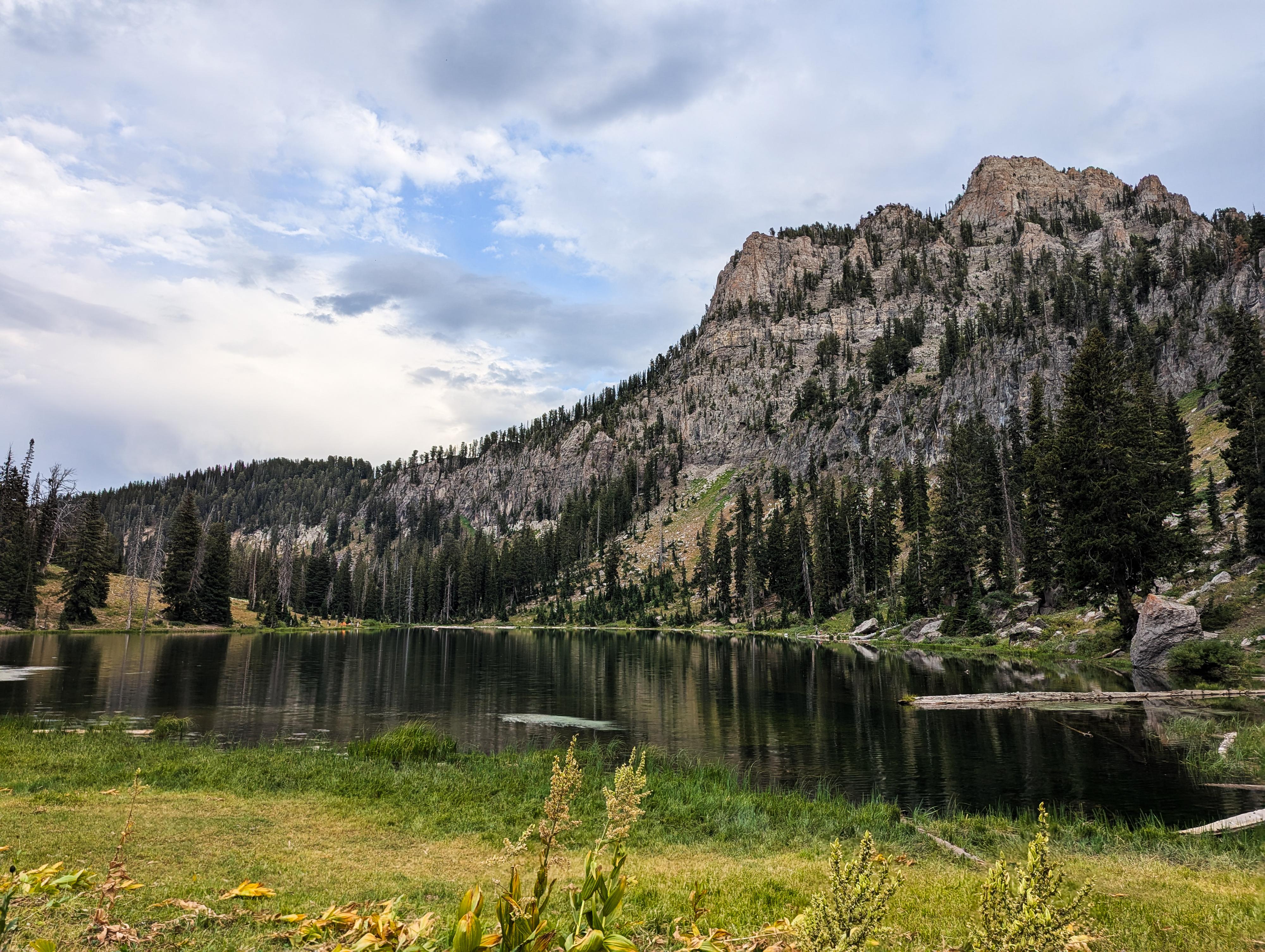
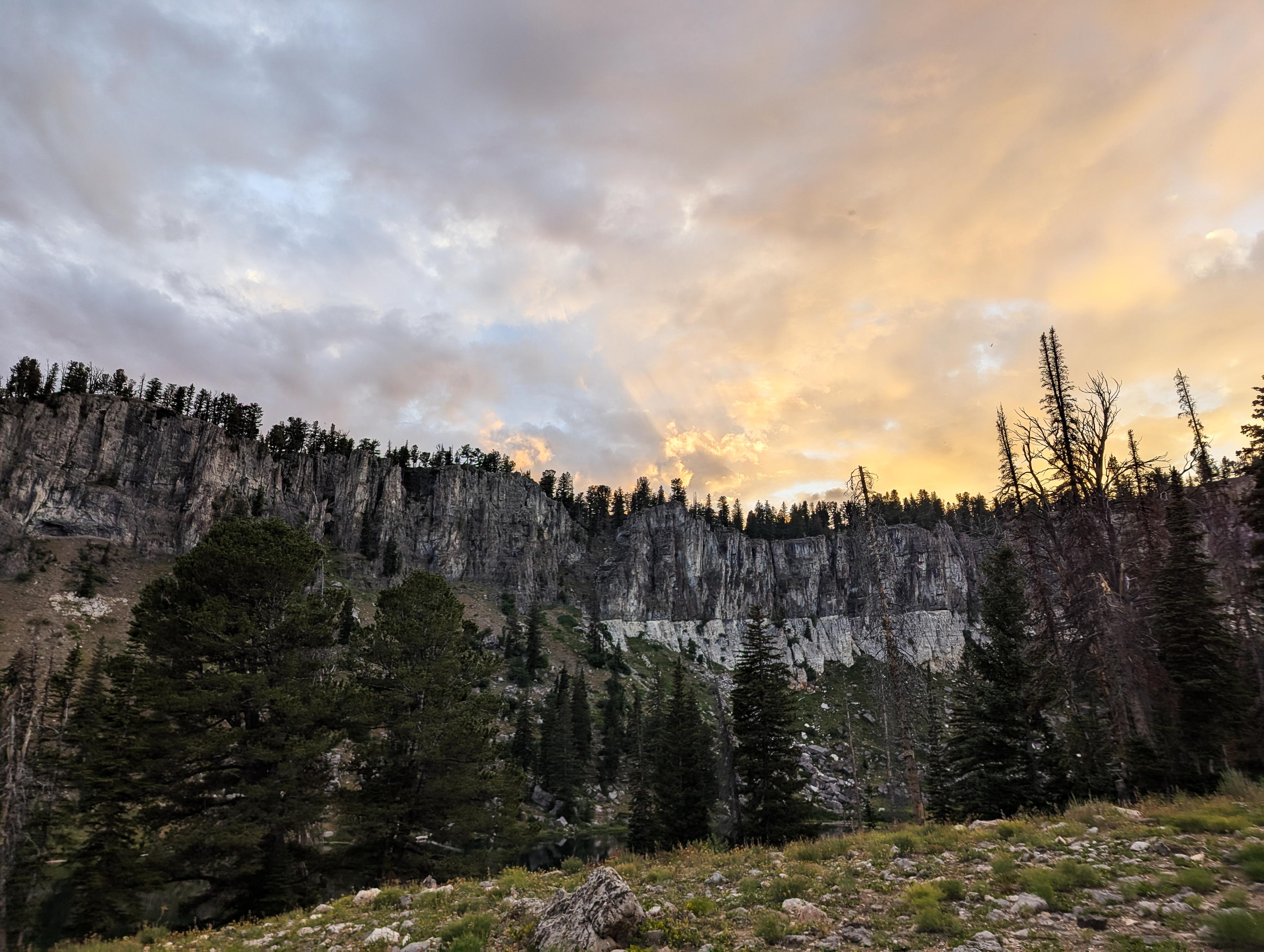
White Pine Lake is one of the crown jewels of Logan Canyon. Starting from Tony Grove Lake, the trail winds through wildflower-filled meadows, dense forests of fir and aspen, and rolling alpine terrain before arriving at the shores of White Pine Lake. At roughly 8,400 feet in elevation, the lake sits in a dramatic cirque basin surrounded by rugged cliffs.
The hike is about 8 miles round-trip with a steady but manageable elevation gain. The length and difficulty make it a favorite for hikers of all skill levels, and it is often done as an overnight backpack. On our mid-August visit, there were many families and other groups camped in the basin around the lake.
In summer, the trail bursts with color as wildflowers bloom across open meadows, while fall brings golden aspens and crisp mountain air.
There are many campsites in the basin. Keep in mind you should camp 200 feet from lakes and streams. The area had quite a bit of garbage on our visit. Be sure to pack out whatever you pack in, and perhaps a little extra garbage others have left behind if you can.
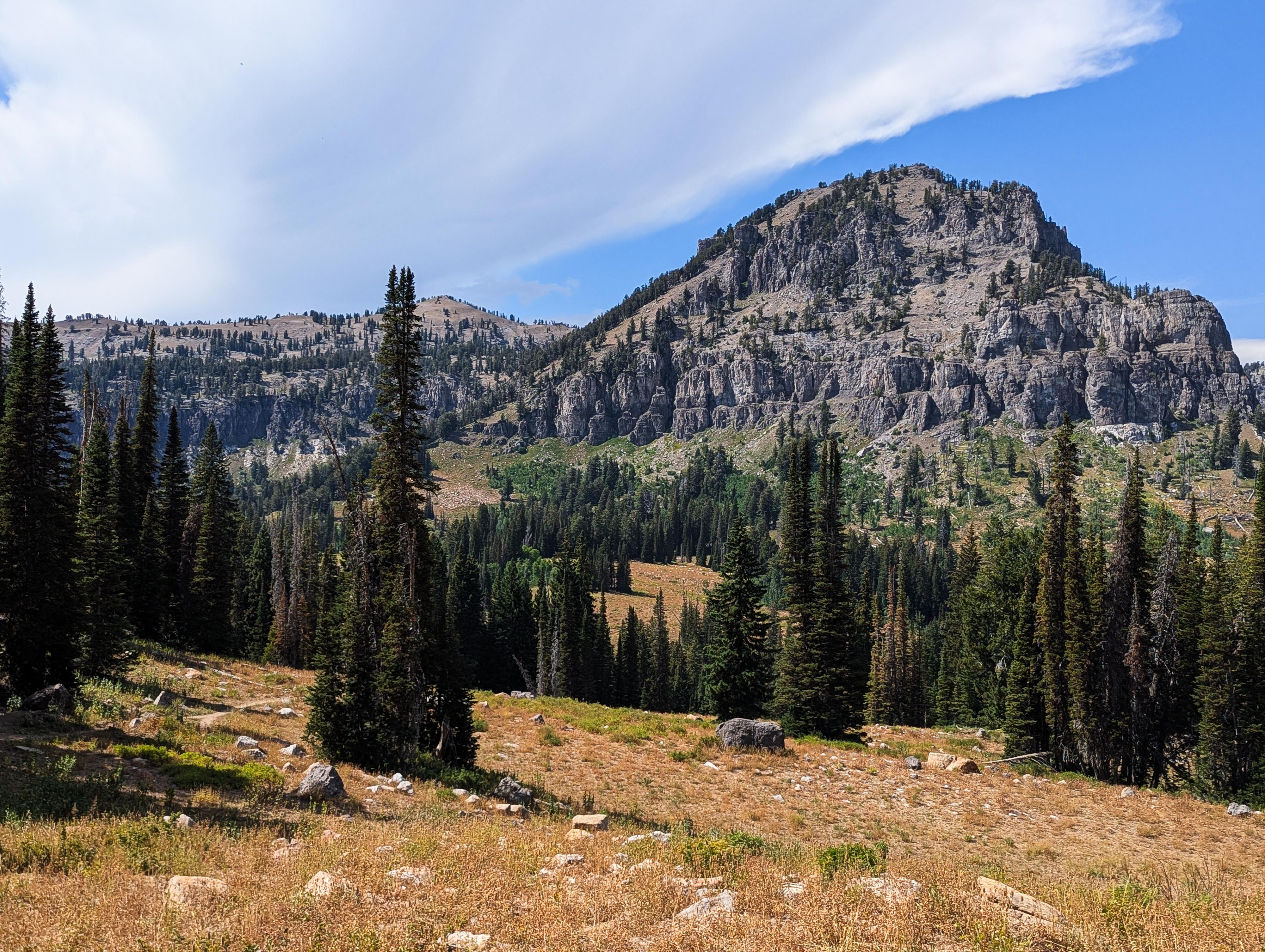
Gog and Magog are referenced in both the Bible and the Qur’an. In both, Gog and Magog symbolize overwhelming destructive powers that emerge at the end of time, testing humanity and preceding divine judgment. I would be interested to know who named those peaks and why they named them Gog and Magog. It is quite a reference!
Getting There
From Logan, drive east on highway 89 into Logan canyon. From where the highway crosses the Logan river just east of Utah State University, travel 19.5 miles to the signed Tony Grove turn off on the left (north) side of highway 89. Follow the Tony Grove road to its end in just over 7 miles. The trailhead is at the end of the road, where there is a turn around loop and rest room at the lake.
Route
From the trailhead, the trail leaves on the northwest corner of the parking lot. Right at the trailhead, the trail splits and is signed "Nature Trail" to the left and "White Pine" to the right. Go right.
The trail meanders up mostly open terrain for about a mile to a junction where the Naomi Peak trail goes left. Go right instead, signed White Pine Lake. The trail now enters a bit of trees and has some shade for a few minutes before making a final climb up to the ridge.
From the ridge, the trail descends somewhat steeply with a couple of switchbacks down to the basin below over the course of about a mile. Keep this elevation loss in mind for your climb back out!
Once down, the trail crosses a bridge over the stream and then comes almost immediately to a 4-way junction. Left or straight, both go to the lake. Straight is a tiny bit longer. I would recommend going straight, then returning from the lake on the left-hand trail.
There are numerous campsites along both trails. If filtering water, I would recommend filtering at the south side of the lake where it flows out of the lake a bit.
| Trailhead |
12T 446705E 4638324N 41°53'42"N 111°38'33"W |
| Jct - Right |
12T 446586E 4639523N 41°54'21"N 111°38'38"W |
| Bridge |
12T 446114E 4641368N 41°55'21"N 111°38'60"W |
| White Pine Lake |
12T 445563E 4641496N 41°55'25"N 111°39'23"W |


