 Hiking Alexander Basin
Millcreek Canyon
Due to the ongoing Upper Mill Creek Canyon Road Improvement Project, the upper section of Mill Creek Canyon Road — from the Winter Gate up to the Big Water/Upper Big Water Trailhead — will be closed to vehicle (and pedestrian/bike) access during construction. Work is supposed to be completed by winter 2026.
For the latest updates, trail- and road-closure maps, and future notices, please visit the counties project page: Upper Mill Creek Canyon Road Improvements Project
Overview
|
Fri 33 | 24 |
Sat 37 | 22 |
Sun 39 | 29 |
Mon 40 | 28 |
Tue 29 | 26 |
| View Full Weather Details | ||||
|
Fri 33 | 24 |
Sat 37 | 22 |
Sun 39 | 29 |
Mon 40 | 28 |
Tue 29 | 26 |
| View Full Weather Details | ||||
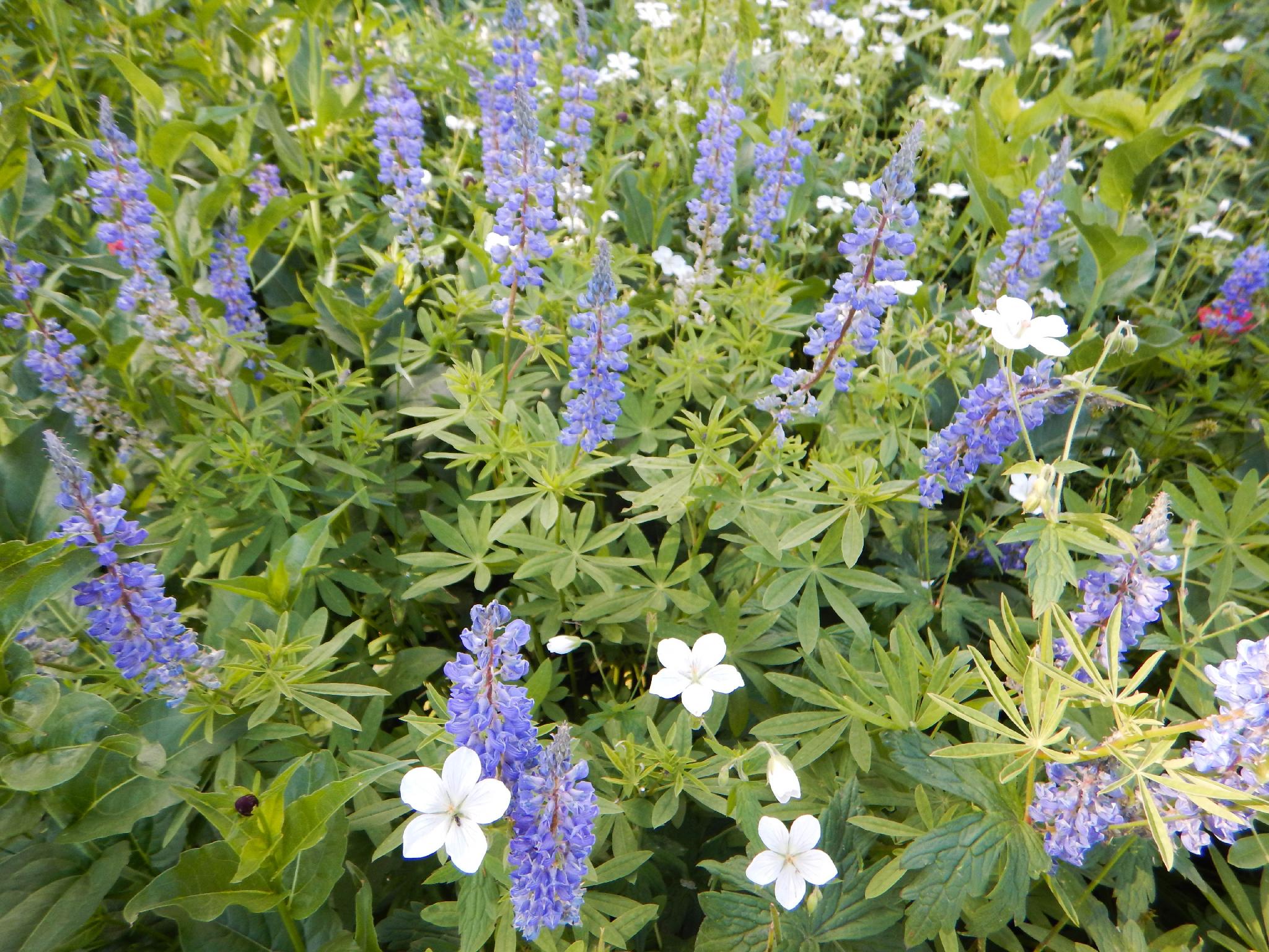
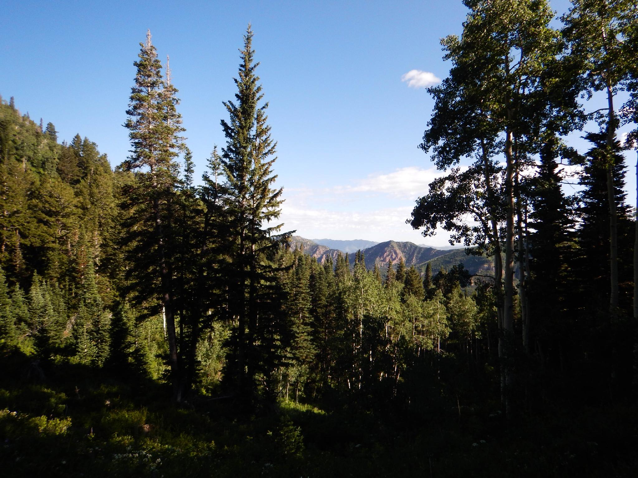
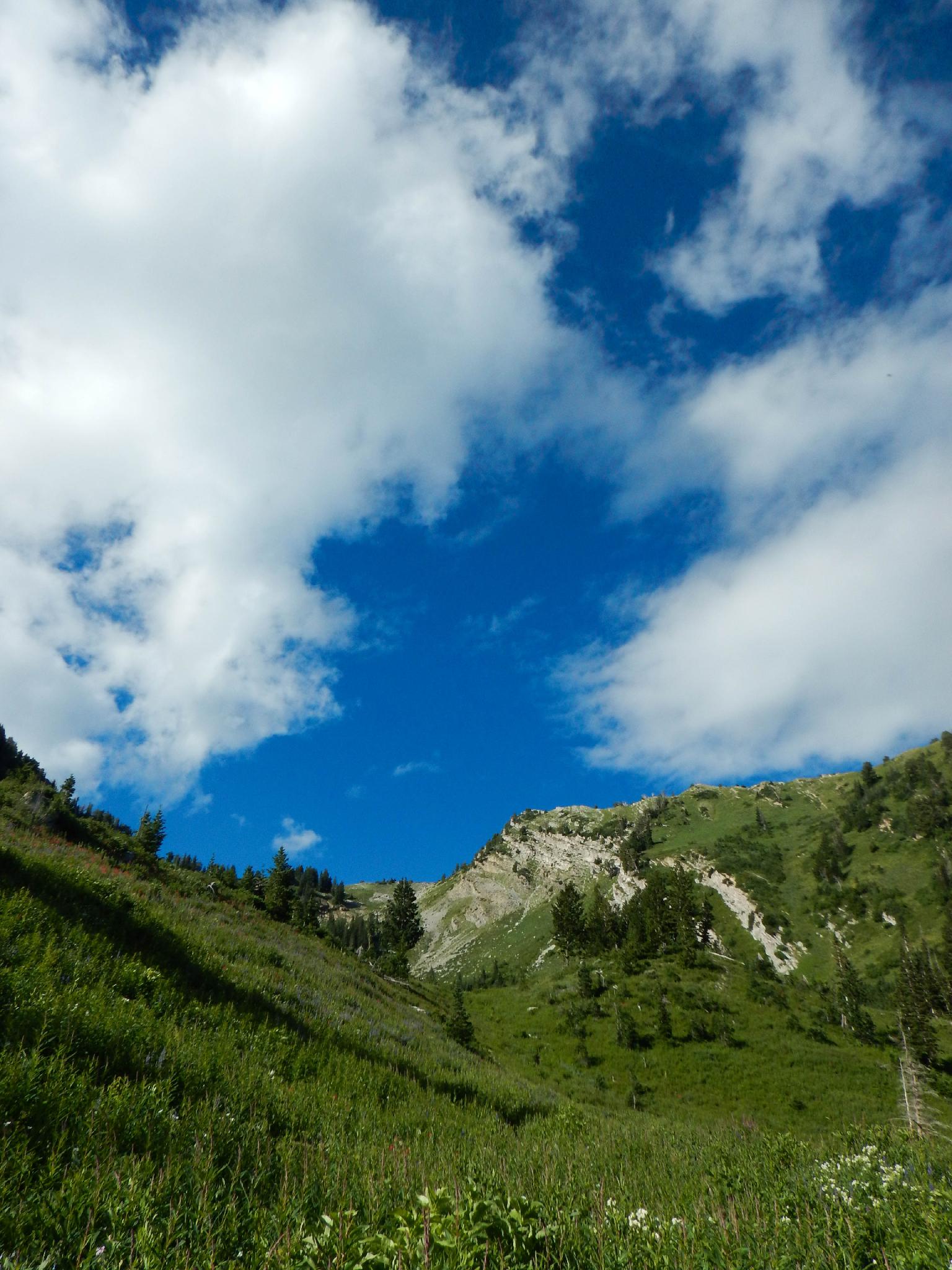
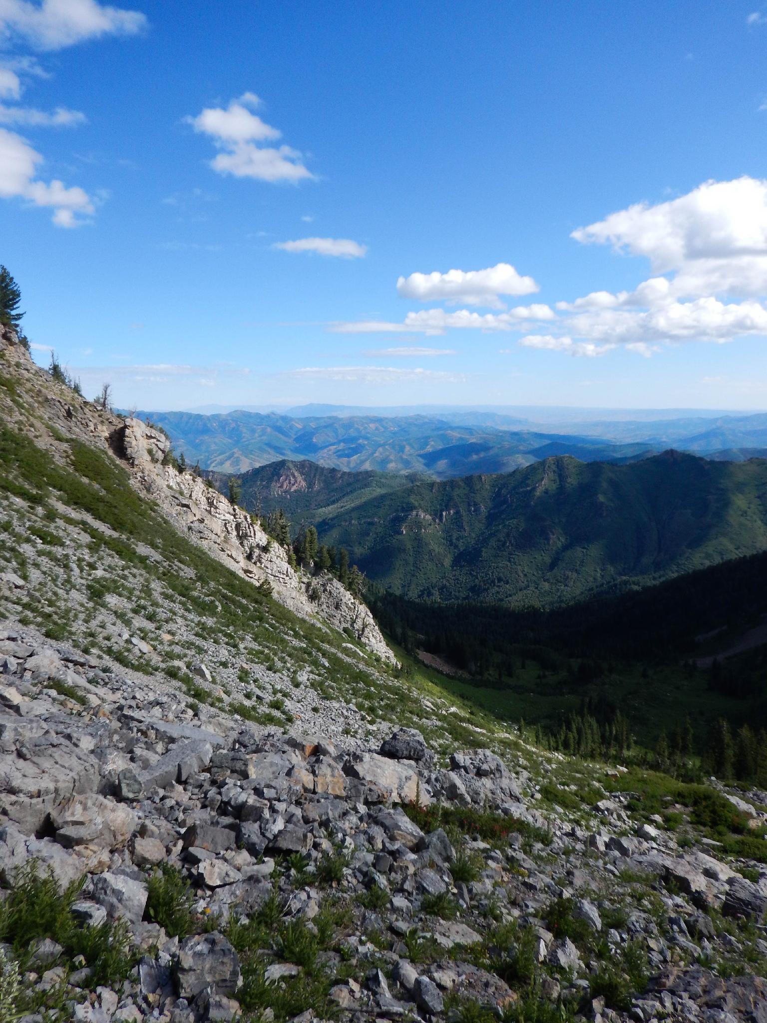
Alexander Basin is a glacier-carved valley perched high above Millcreek Canyon. The views of the valley are excellent and wildflowers can abound in summer months. This hike is an excellent one that I highly recommend and it is used as the first part of the Gobblers Knob hike.
The downside? Though many hikes in the Wasatch are steep, this one is particularly steep. Lungs and thighs will be feeling it as the hike quickly ascends from the trailhead up to the bottom of the basin.
Getting There
Millcreek Canyon is on the east side of the Salt Lake Valley, just south of I-80 and Parleys Canyon. To get there, take I-215 South from I-80 and take exit 4 off of I-215 and go left (east) on 3900 South.
Turn left on Wasatch Blvd just after crossing under the highway, then the next right on Millcreek Canyon Road.
0.7 miles from the junction of Wasatch Blvd and Millcreek Canyon Road is the entrance to Millcreek Canyon and the pay booth.
Mileage below is from the pay booth.
0.7 miles - Pipeline Trailhead on the left (north).
2.4 miles - Church Fork Trailhead on the left (north).
2.5 miles - Desolation on the right (south).
3.4 miles - Porter Fork on the right (south).
3.5 miles - Burch Hollow Trailhead (north).
3.7 miles - Terraces Picnic Area / Trailhead (south).
3.8 miles - Winter Gate Closure
5.4 miles - Elbow Fork Trailhead (Mount Aire)
6.9 miles - Alexander Basin Trailhead
Route
From the trailhead, follow the trail as it climbs at a thigh burning rate, switchbacking up the canyon slope for 1 mile to a junction. Go left here, continuing up into Alexander Basin (The right fork contours around to Bowman Fork).
Past the junction, the basin begins to open up and offers the first views of the basin and Gobblers Knob that caps the southwest corner of the basin. From the junction, the hiking is a bit easier, but still steep. If motivated, the trail climbs to the ridge, and ultimately the summit of Gobblers Knob, but non-peak baggers will be content to enjoy the views of Alexander Basin from mid-way up and return the same way.
| Trailhead |
12T 443389E 4504810N 40°41'32"N 111°40'12"W |
| Alexander Junction |
12T 442843E 4503903N 40°41'03"N 111°40'35"W |


