 Hiking
Gloria Falls
Hiking
Gloria Falls
Little Cottonwood Canyon
Overview
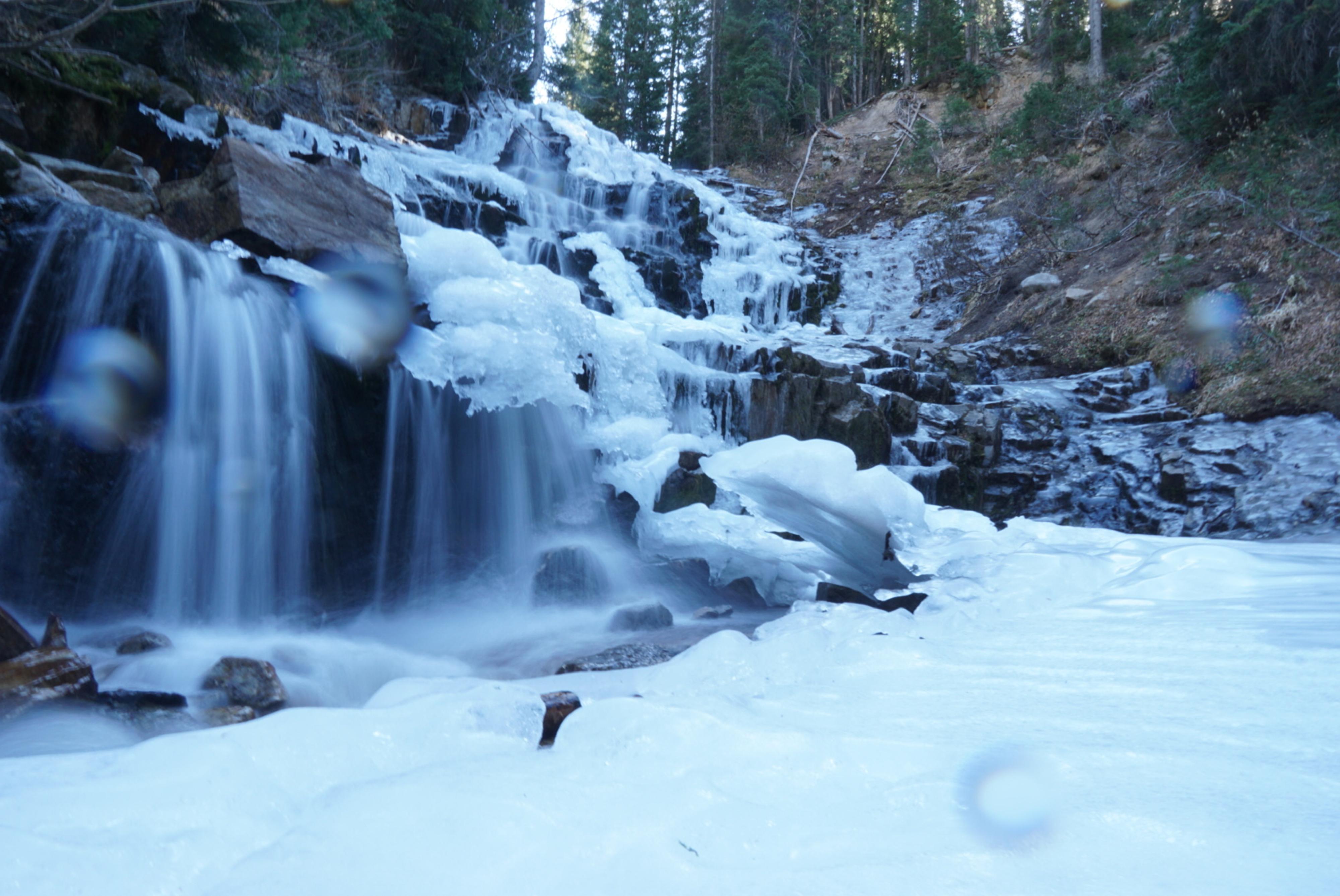
Gloria Falls is frequently passed by hikers heading to White Pine Lake or Red Pine Lake, many unaware of the falls just a few minutes off the main trail. The falls are a dramatic cascade of the White Pine Fork stream as it descends to Little Cottonwood Creek.
The length of the hike, a little over 2 miles round trip, makes for a good family outing. It gains a bit of elevation (~550 feet), but even fairly young children are likely to enjoy the hike. My favorite season to visit is when fall colors are in full display, but summer is also an excellent time with wildflowers and green scenery. Be cautious in spring when flows are high, especially if children are in the group.
Getting There
Little Cottonwood Canyon is on the east side of the Salt Lake City Valley. Get there by following I-215 to the east, taking exit 6 off the interstate and heading east toward the mountains.
Follow 6200 South which becomes Wasatch Blvd for 1.8 miles to the stop light and signs for Big Cottonwood Canyon. Continue south (straight) through the light an additional 2.3 miles to a junction and light. Stay left here, reaching the mouth of Little Cottonwood Canyon in an additional 1.6 miles.
From the mouth of Little Cottonwood, travel up the canyon 5.3 miles to the signed White Pine Trailhead on the south side of the road. This is about a mile up the canyon from the Tanners Flat Campground.
Route Description
To White Pine Junction (1 mile / 30 minutes)
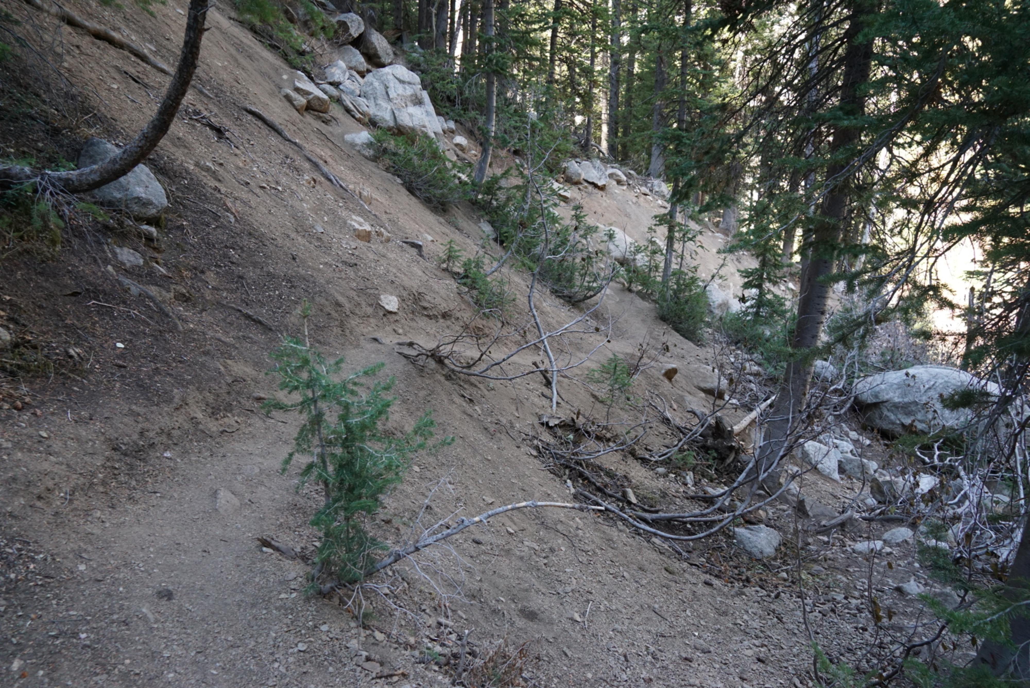
From the trailhead, follow the well-used White Pine/Red Pine trail as it descends from the trailhead, crosses a bridge, and begins its ascent from the valley floor. After about 20-30 minutes, the first junction is reached. Left goes to White Pine, right is signed for Red Pine. The Red Pine trail is just behind the wooden sign and is wide and well-travelled. The Red Pine trail climbs for a couple of minutes before crossing the stream on a bridge and heading west.
To Gloria Falls (0.15-ish miles / 5 minutes)
Immediately past the bridge, look for a social trail on the left. There are a couple, it is worthwhile to walk 100 feet or so past the bridge to make sure you find the best trail.
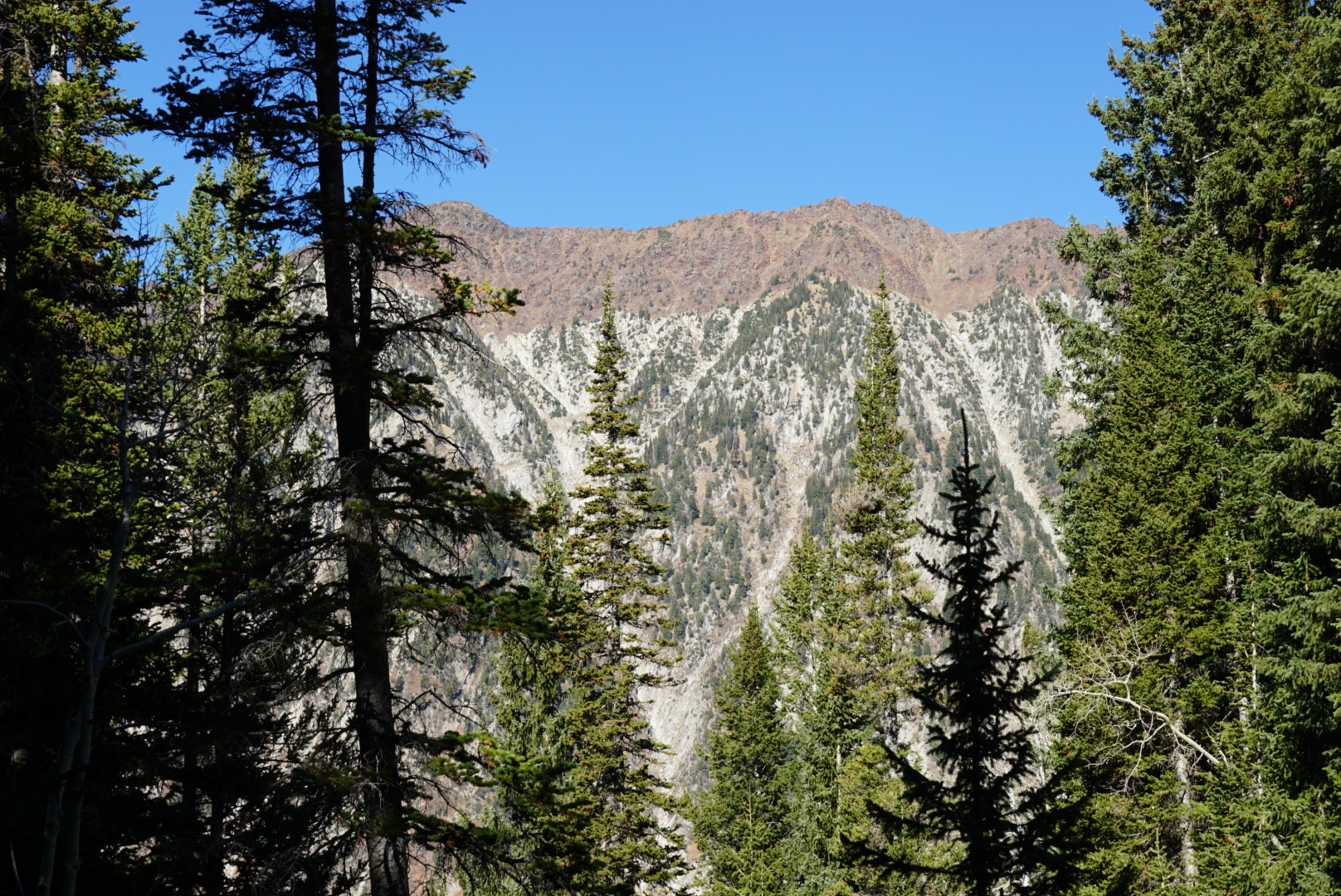
Follow the social trail(s) as they go up hill, then cut back to the White Pine Fork stream. The lower section here has several nice cascades before reaching the base of the falls proper. The falls are quite pretty, but the views across the canyon of the Little/Big Cottonwood ridge are also quite spectacular.
Return the same way.
Maps

12T 442341E 4491853N
40°34'32"N 111°40'52"W
12T 441642E 4490821N
40°33'58"N 111°41'22"W
12T 441655E 4490766N
40°33'56"N 111°41'21"W
12T 441709E 4490565N
40°33'50"N 111°41'19"W