
 Hiking
Grandeur Peak via West Face
Hiking
Grandeur Peak via West Face
Salt Lake
Overview

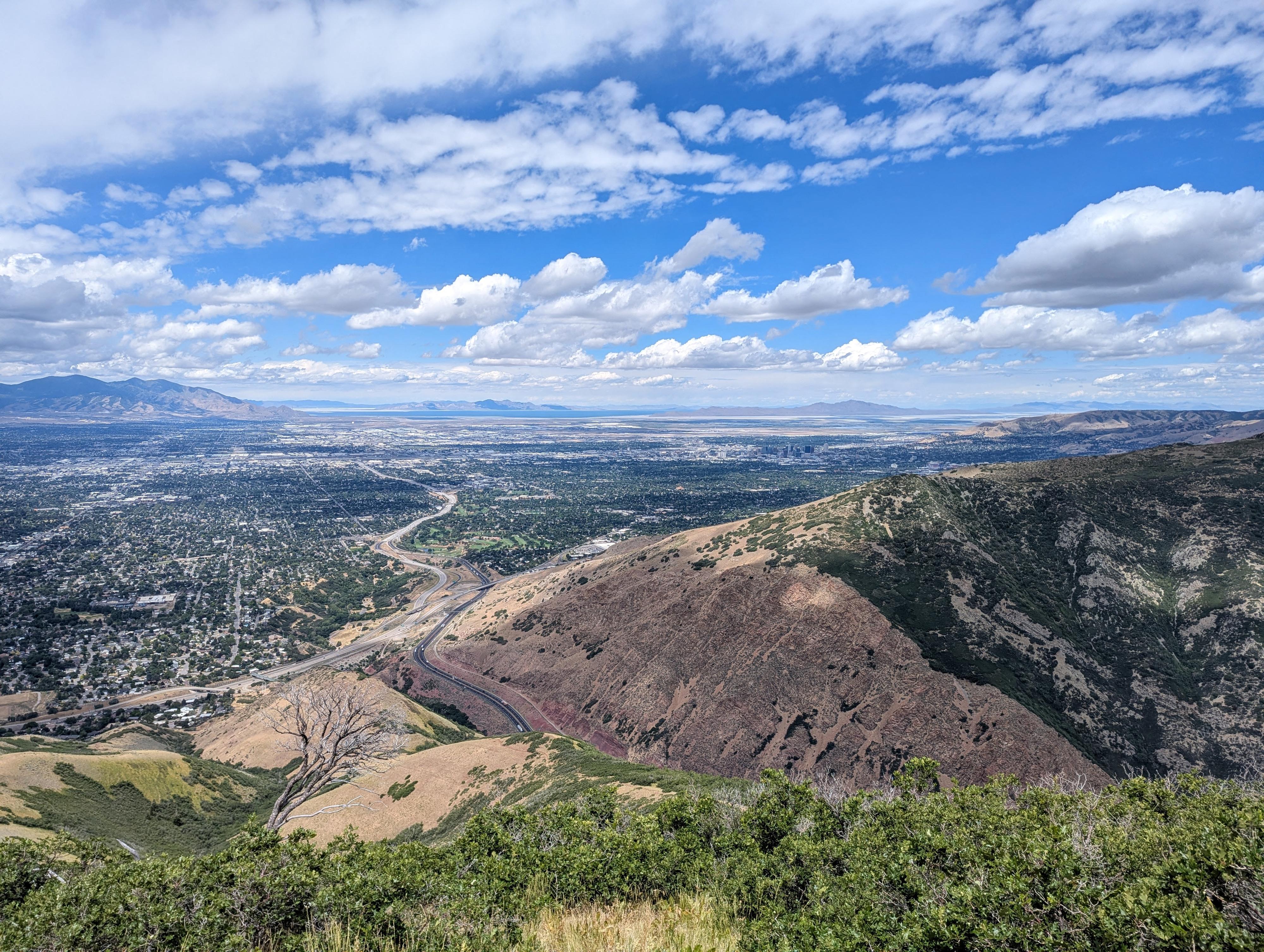
The Grandeur Peak West Face trail, at about 2.25 miles one way to the summit, is the shortest route up the peak. Before grabbing your shoes and heading out, though, keep in mind this route gains about 3,300' in that 2.25 miles up! Ooph! I have done Grandeur via Church Fork many times over the years; it's one of my training hikes, especially in the spring when everything else is snowed in. I had wanted to do the West Face route for years but had also somewhat dreaded it. Well, when I finally did it, it turned out to be the thigh-burning beast of a hike I thought it would be. Church Fork is my favorite route up the peak, but West Face is where to go for a serious effort.
For such a steep, beast of a hike, this one is surprisingly popular. On the Sunday afternoon I did the hike, there were probably 6 or more groups on the route. As one of the steepest hikes in the area and being close to the city, it seems particularly popular as a route people do just for exercise. My hat is off to those I saw RUNNING up the route.
It is steep up, but, of course, also steep coming down. I think trekking poles help, but keep in mind it is strenuous coming down as well. Fastest times from the base to the summit are around an incredible 45 minutes, though many hikers take 2-3 hours to the top and about the same down.
Getting There
The trailhead is on the east side of the Salt Lake Valley, just south of Parleys Canyon. Follow 3300 south east to where it ends on the east side of I-215. Turn left onto Wasatch Blvd and follow it north to it's end at the trailhead about 0.6 mile from I-215.
Route Description
To The Base (1/4 of a mile)
From the trailhead, start up the dirt road, then take a wide hiking trail on the right. Follow the hiking trail to a dirt road, and go right on the dirt road. When the road splits and right goes into the neighborhood, stay left. You should now be able to see the trail you are heading for angling steeply up to the ridge. Aim for the base of the trail by staying on the dirt road.
North or South (1 or 1.1 miles)
There are two trails that lead up from the same place. The lower trail starts on the left (north) side of the drainage, while the more commonly used trail climbs steeply just right (south) of the drainage up to the ridge.
Both merge higher up. The more commonly used trail is slightly shorter by my device, but by less than 0.1 of a mile. I recommend going up the common route (south side), then on your return coming north the lesser-used north route. This is what I did, and I thought it was nice to do a bit of a different route on the way down.
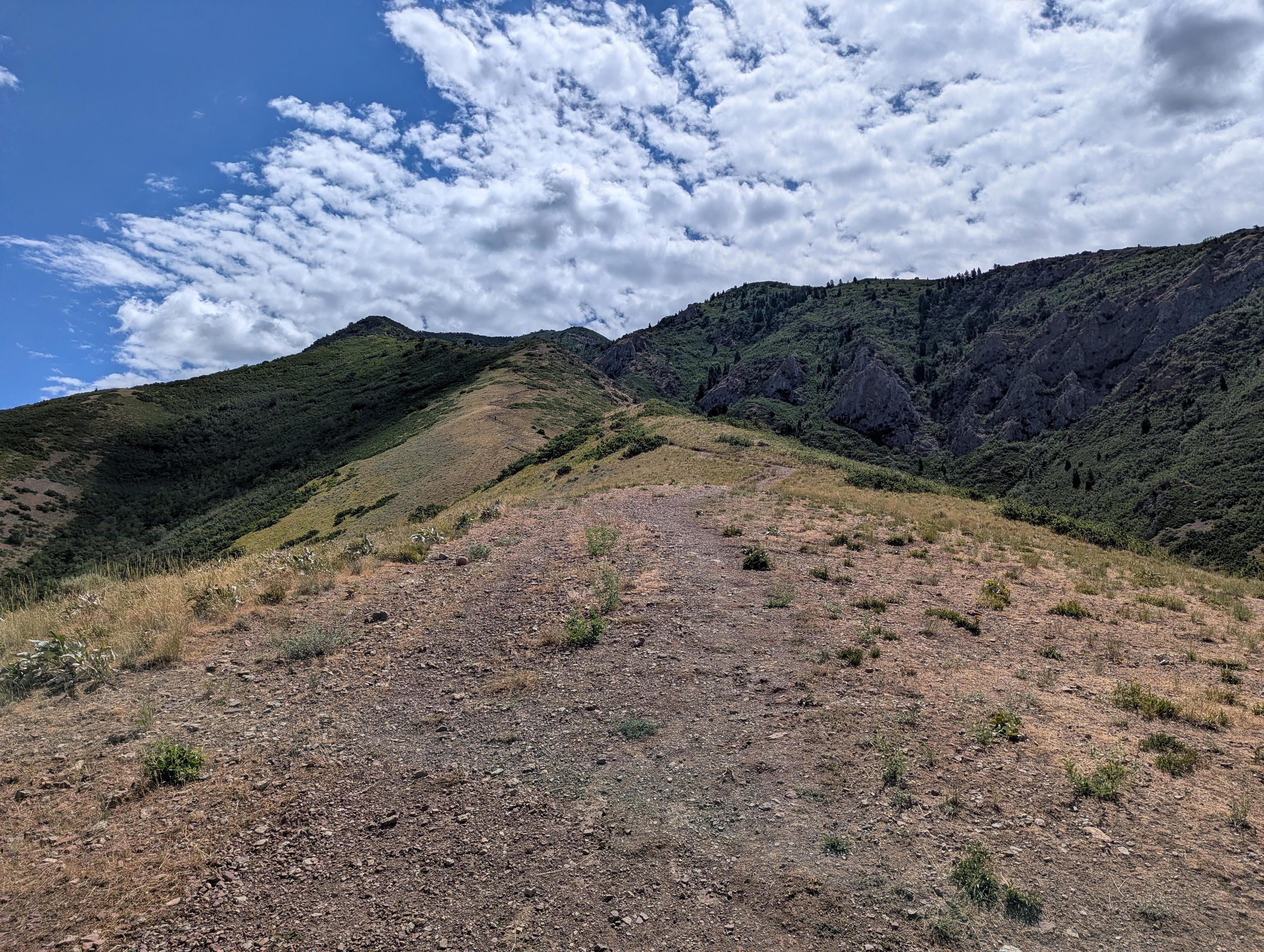
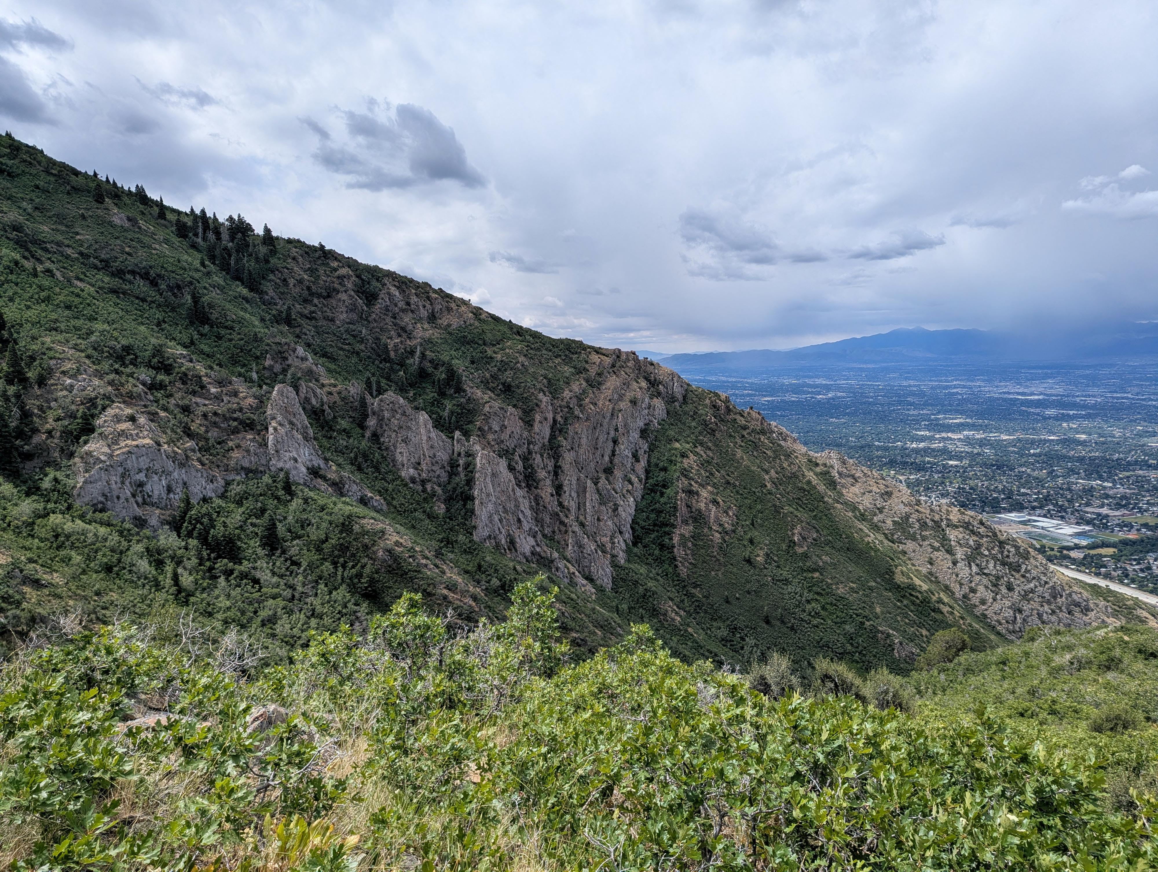
Head up the steep trail that climbs to the ridge, then keep going up and up! About a mile after starting up the ridge, the north side trail joins in on the left. It is fairly obvious, but not as well traveled as the trail you are on. Keep trudging up; the views of the Salt Lake Valley, Olympus, and the craggy slopes of Grandeur get better and better. The summit is about 2.2 miles and 3,300' of elevation gain from the trailhead. As you near the summit, views of Parleys and Little Dell Reservoir in the distance come into view as well. From the summit, the ridges that comprise the Cottonwood Canyons are visible to the south as well. A stunning summit.
Return the same way, though I recommend taking the north route when you get to the junction. It is easy to follow and goes down the ridge before descending to near the drainage bottom and following the drainage down.
Maps
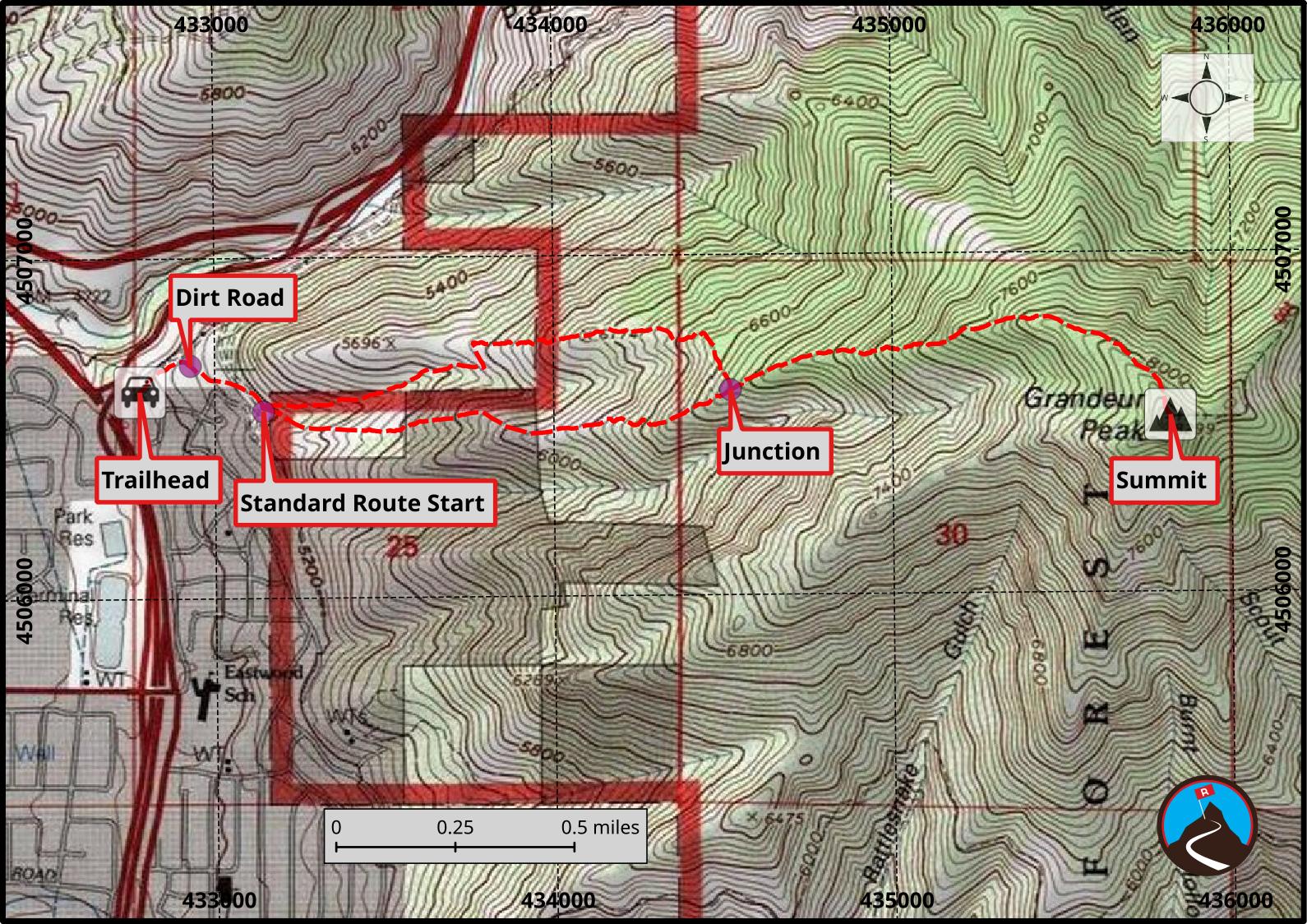
12T 432778E 4506607N
40°42'28"N 111°47'45"W
12T 432928E 4506683N
40°42'30"N 111°47'38"W
12T 433143E 4506547N
40°42'26"N 111°47'29"W
12T 434521E 4506601N
40°42'28"N 111°46'31"W
12T 435819E 4506518N
40°42'25"N 111°45'35"W