 Hiking
Lake Desolation
Hiking
Lake Desolation
Big Cottonwood
Overview
Tucked near the ridge separating Millcreek and Big Cottonwood Canyons, Lake Desolation is an excellent destination with varied scenery along the way. This is one of my favorites in Big Cottonwood Canyon, and generally much less crowded than Lake Blanche or some of the other very popular outings.
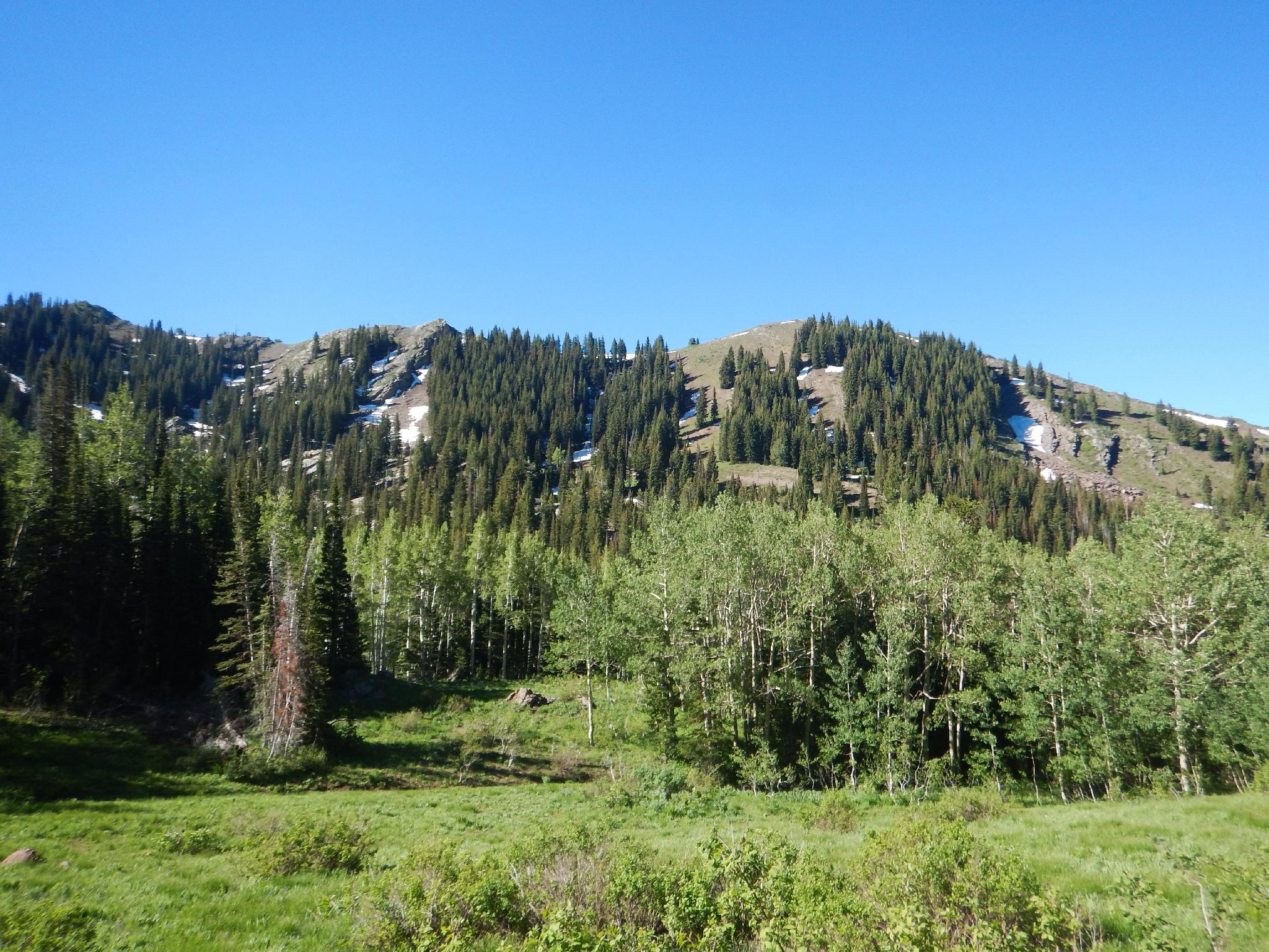
The hike climbs steeply through a forested drainage before splitting off the Dog Lake Trail. Past the Dog Lake junction, the trail becomes very scenic, passing through high mountain meadows and thick aspen groves before finally reaching the lake.
An out-and-back to the lake up Mill D North Fork Trail is a common outing and makes a great light overnight backpack. For my money, continuing past the lake and descending Beartrap Fork makes for an even better outing at about the same distance.
Getting There
Big Cottonwood Canyon is on the east side of the Salt Lake City Valley. Get there by taking I-215 to the east, taking exit 6 off the interstate and heading east.
Follow 6200 South which becomes Wasatch Blvd for 1.8 miles to the stop light and signs for Big Cottonwood Canyon.
Turn left at the light and reset your odometer.
Drive up Big Cottonwood Canyon. At 8.9 miles, where there is a large parking area on each side of the road. This is the trailhead. Park on the left (north) side of the road.
Route Description
To Dog Lake/Lake Desolation Junction (1.8 miles)
From the trailhead, follow the Dog Lake/Lake Desolation trail that leaves the north side of the parking lot. The trail makes a wide sweep before entering the Mill D drainage. 1.8 miles of seemingly relentless uphill hiking take you to the Dog Lake/Lake Desolation junction. Go right here.
To Lake Desolation (2.2 miles)
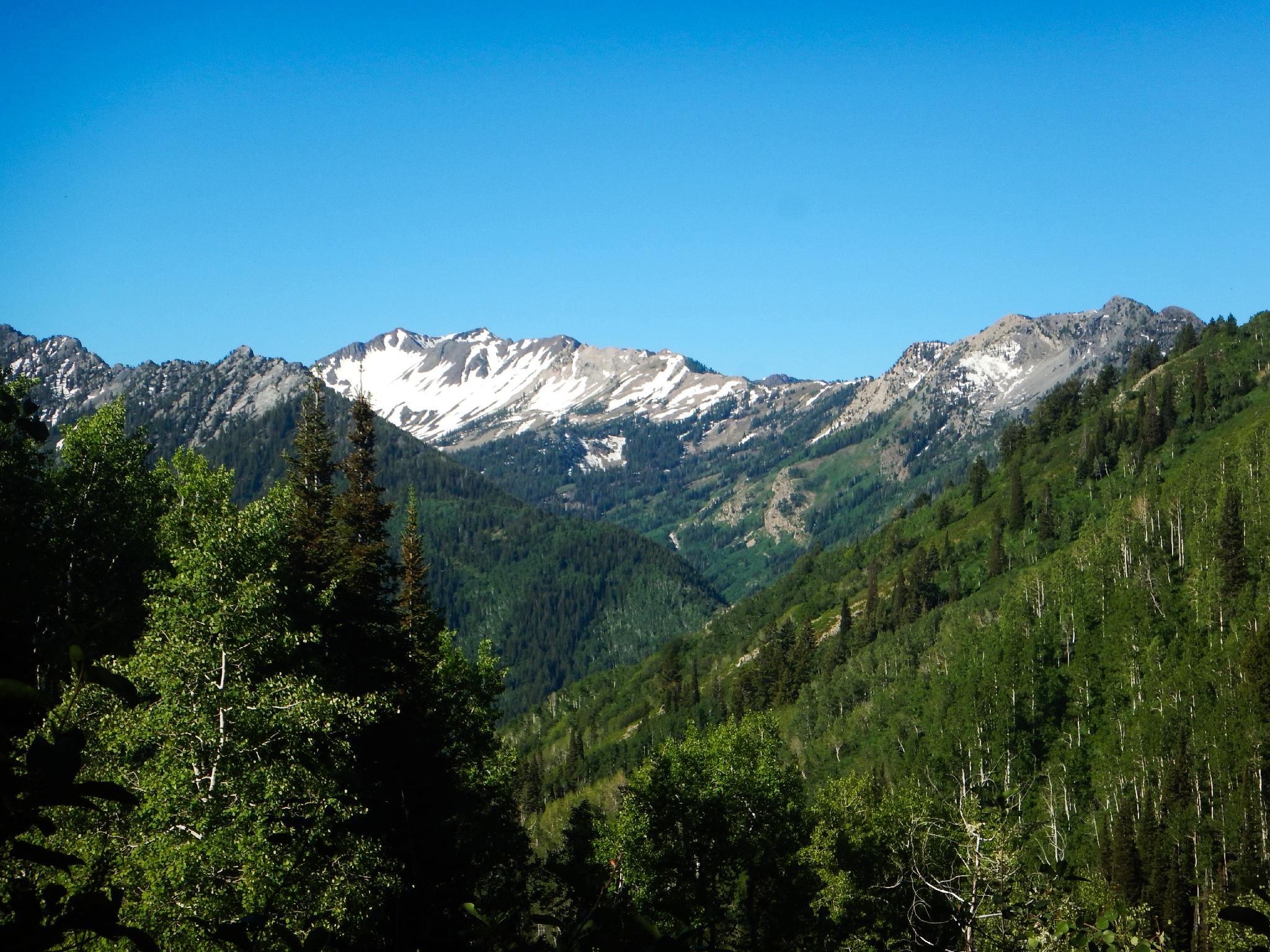
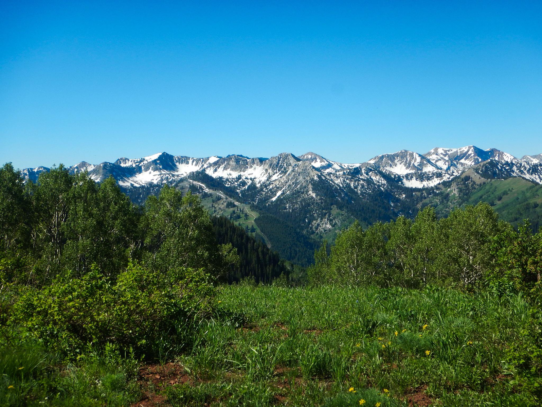
From the Dog Lake/Lake Desolation Junction, the trail continues the steep ascent, then levels out. The first big views of the south side of Big Cottonwood come into view here, and the trail begins passing through a couple of high mountain meadows.
Past the meadows, the trail has one more section of uphill before Lake Desolation comes into view. This is a stunning area.
Optional Loop
To the Beartrap Top (1 mile)
If wanting to descend Beartrap Fork (recommended), the goal is to reach the ridgeline east of the lake. The easiest option is to continue on the main trail on the left (north) side of the lake to the ridge, then go right along the ridge to the well-defined junction at the top of Beartrap Fork, the descent canyon. This section of trail is commonly used by bicyclists.
A much less used option is to follow an old well-defined social trail on the right side of the lake that also climbs to the ridge. Once on the ridge, be sure to follow the ridge north/east to the junction of the main trail and Beartrap Fork.
Down Beartrap (2.3 miles)
The trail down Beartrap is easy to follow and starts as a steep, thigh-busting descent. About 1/2 way down, the trail levels a bit as it meanders down along the stream. Near the main road, several old jeep roads split off in different directions. Always stay on the well-defined main trail that heads down.
To the Trailhead (1.6 miles)
Once at the main Big Cottonwood Canyon road, the trailhead is 1.6 miles down the canyon. Hopefully, you have a car spotted, or are a better hitchhiker than I am! If you have to walk it, it goes surprisingly quickly.
Photos
Maps
 hiking map in Big Cottonwood Canyon")
12T 445200E 4500046N
40°38'58"N 111°38'53"W
12T 446747E 4501459N
40°39'44"N 111°37'48"W
12T 448853E 4501358N
40°39'41"N 111°36'18"W
12T 448961E 4501194N
40°39'36"N 111°36'14"W
12T 449277E 4501423N
40°39'44"N 111°36'00"W
12T 449482E 4500839N
40°39'25"N 111°35'51"W
12T 447429E 4498778N
40°38'17"N 111°37'18"W