
 Lower Muddy Creek
Hidden Splendor
Overview
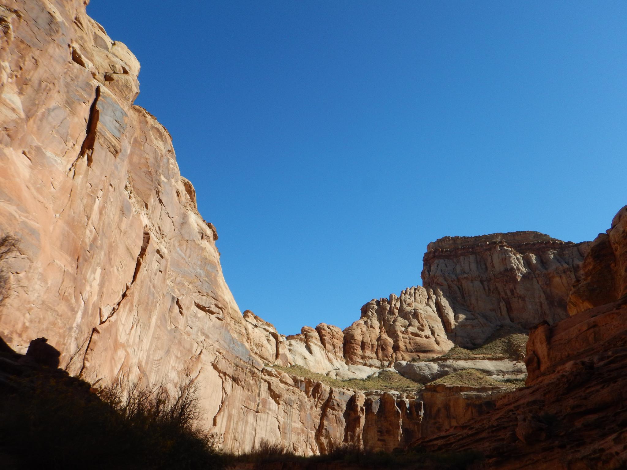
For ease of access and absolute beauty, it is tough to beat the Lower Muddy Creek hike, where the creek cuts through the eastern San Rafael Reef. The hike is one I've done probably a dozen or more times, and still enjoy. I am convinced I see something new on every trip. The route starts at Hidden Splendor uranium mining area, an old mining area first mined in 1952, and long since abandoned. From the mining area, the route meanders down the deep Wingate-walled Muddy Creek Gorge, cutting through Kayenta and finally Navajo layers before emerging from the Reef. En route the views are stunning, there are many old mining ruins to see, an arch, and even a pictograph panel to round out the day.
A couple of notes: This hike can be impossible in late spring when the Muddy Creek is at flood stage or after very heavy rains. Fall and early spring are the best times to visit. Summers bring hot temperatures and an oppressive amount of mosquitos and deer flies. Winter makes a nice time to visit as well, but wading the creek countless times along the way can deter all but he hardcore.
Getting There
From I-70
Route Description
Rock art and historic sites are fragile, non-renewable cultural resources that, once damaged, can never be replaced. To ensure they are protected, please:
- Avoid Touching the Petroglyphs: Look and observe, BUT DO NOT TOUCH!
- Stay on the Trails: Stay on the most used trails when visiting sites, and don't create new trails or trample vegetation.
- Photography and Sketching is Allowed: Do not introduce any foreign substance to enhance the carved and pecked images for photographic or drawing purposes. Altering, defacing, or damaging the petroglyphs is against the law -- even if the damage is unintentional.
- Pets: Keep pets on a leash and clean up after them.
- Artifacts: If you happen to come across sherds (broken pottery) or lithics (flakes of stone tools), leave them where you see them. Once they are moved or removed, a piece of the past is forever lost.
From the trailhead, follow the road down to the Muddy Creek, and begin heading downstream. It is easiest to follow the old mining road or one of the many social trails. The route will cross the Muddy Creek numerous times, so you might as well get your feet wet from the get-go.
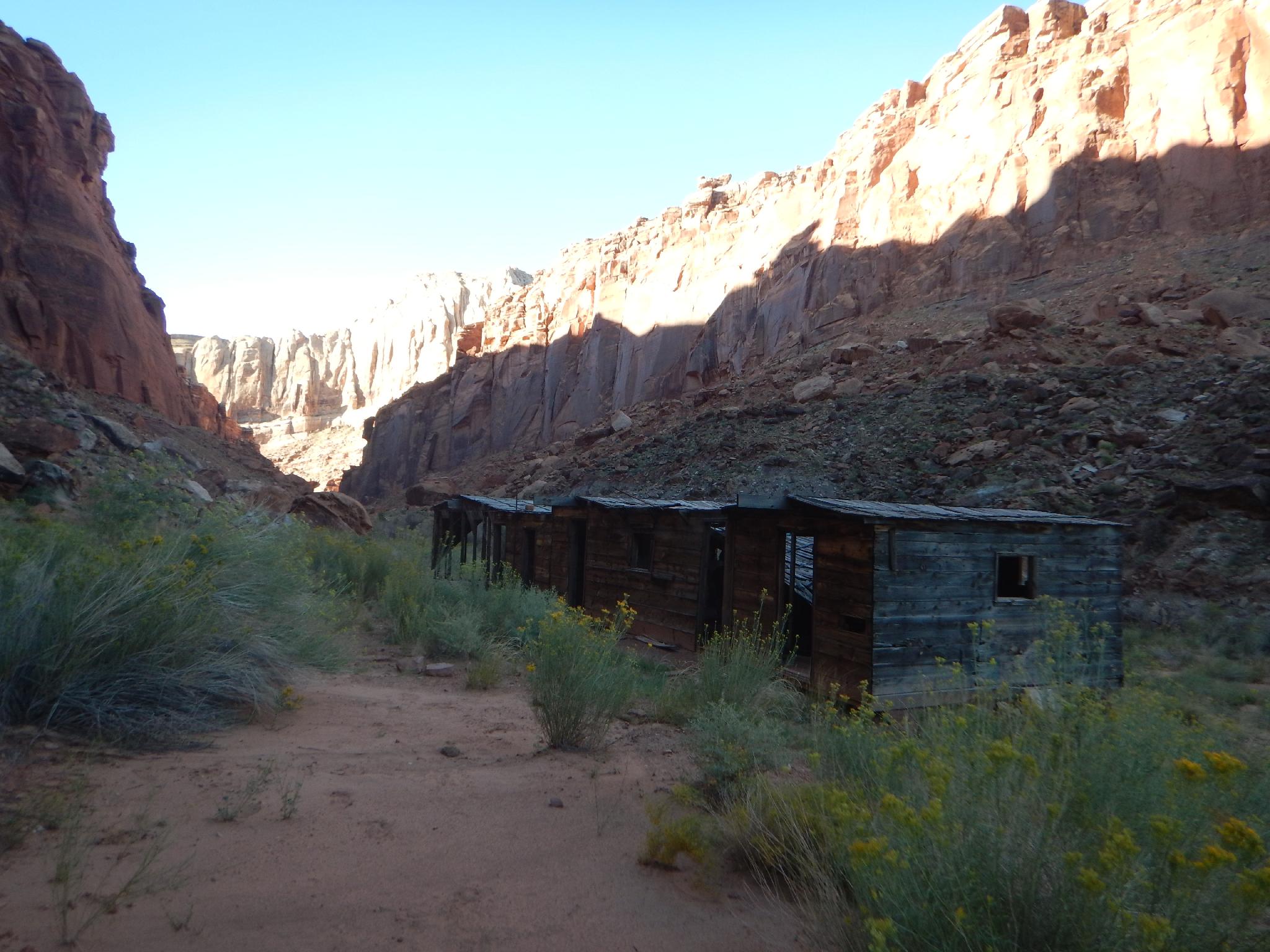
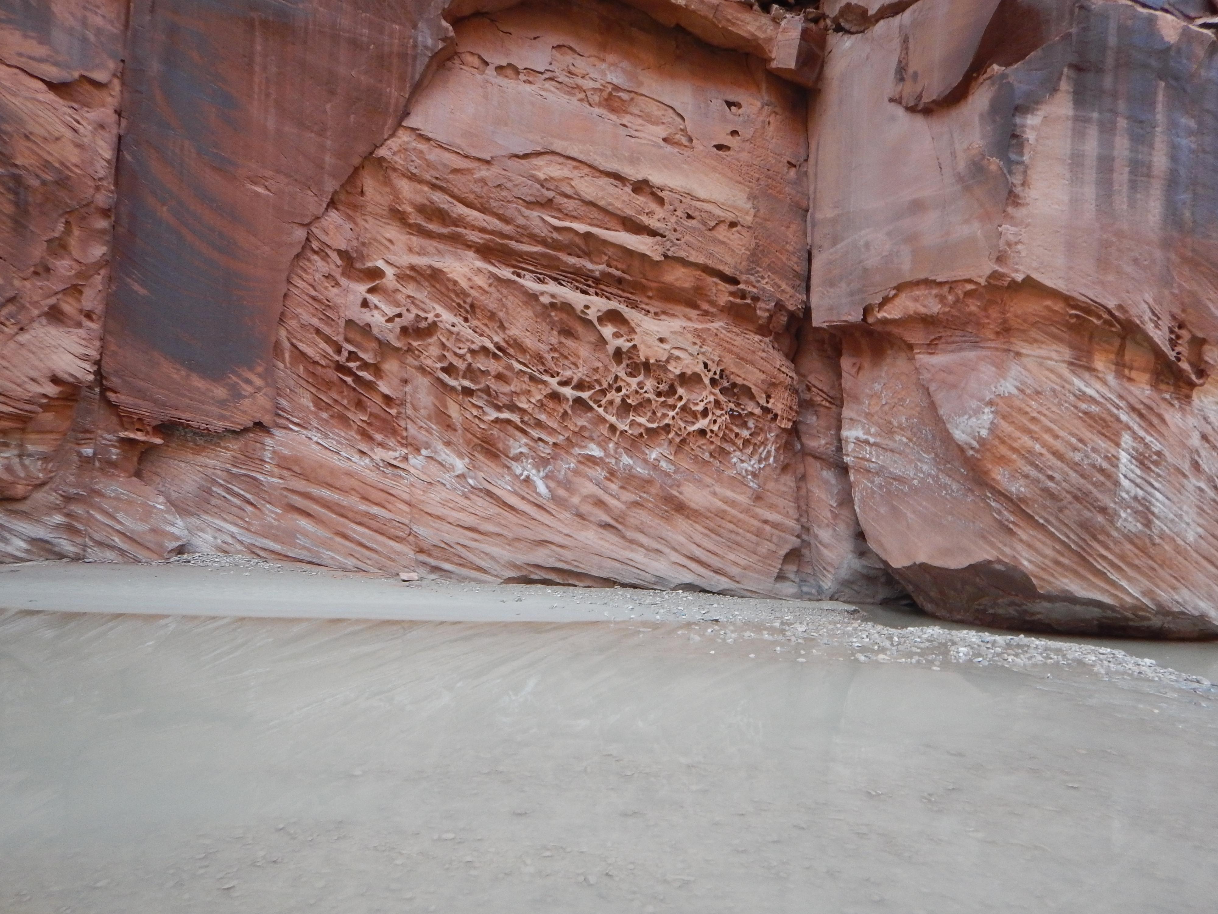
20 minutes or so from the trailhead, the old mining road passed a very run-down bunkhouse built during the mining boom in the 1950's. The road parallels the river, then crosses and passes through a fence. The red towering walls in this section are Wingate. Below the fence a few minutes, the canyon begins cutting into the ledge-forming Kayenta layer on a bend, before the walls before towering white Navajo sandstone. At this bend, on the right (looking downstream) is a use trail climbing the canyon wall. Follow it 3 minutes to an excellent pictograph under an overhang. The panel is visible from the river, but a bit hard to spot.
The river is now cutting through the Navajo layer, and the walls high above dotted with the tell-tale black streaks of seeps and springs. It is 30 or so minutes to where the river escapes its sandstone confines and emerges onto the flat open desert. Just before this point a canyon comes in on the right with an impressive arch at its confluence. This canyon is The Squeeze . Once in the flat open desert, the best scenery is behind. Return the same way.
Photos
Maps

12S 503539E 4268685N
38°33'60"N 110°57'34"W
12S 504311E 4267772N
38°33'30"N 110°57'02"W
12S 504268E 4266504N
38°32'49"N 110°57'04"W
12S 505475E 4265571N
38°32'19"N 110°56'14"W
12S 505908E 4265259N
38°32'09"N 110°55'56"W