 Hiking
Lakeside Trail
Hiking
Lakeside Trail
Antelope Island
Overview
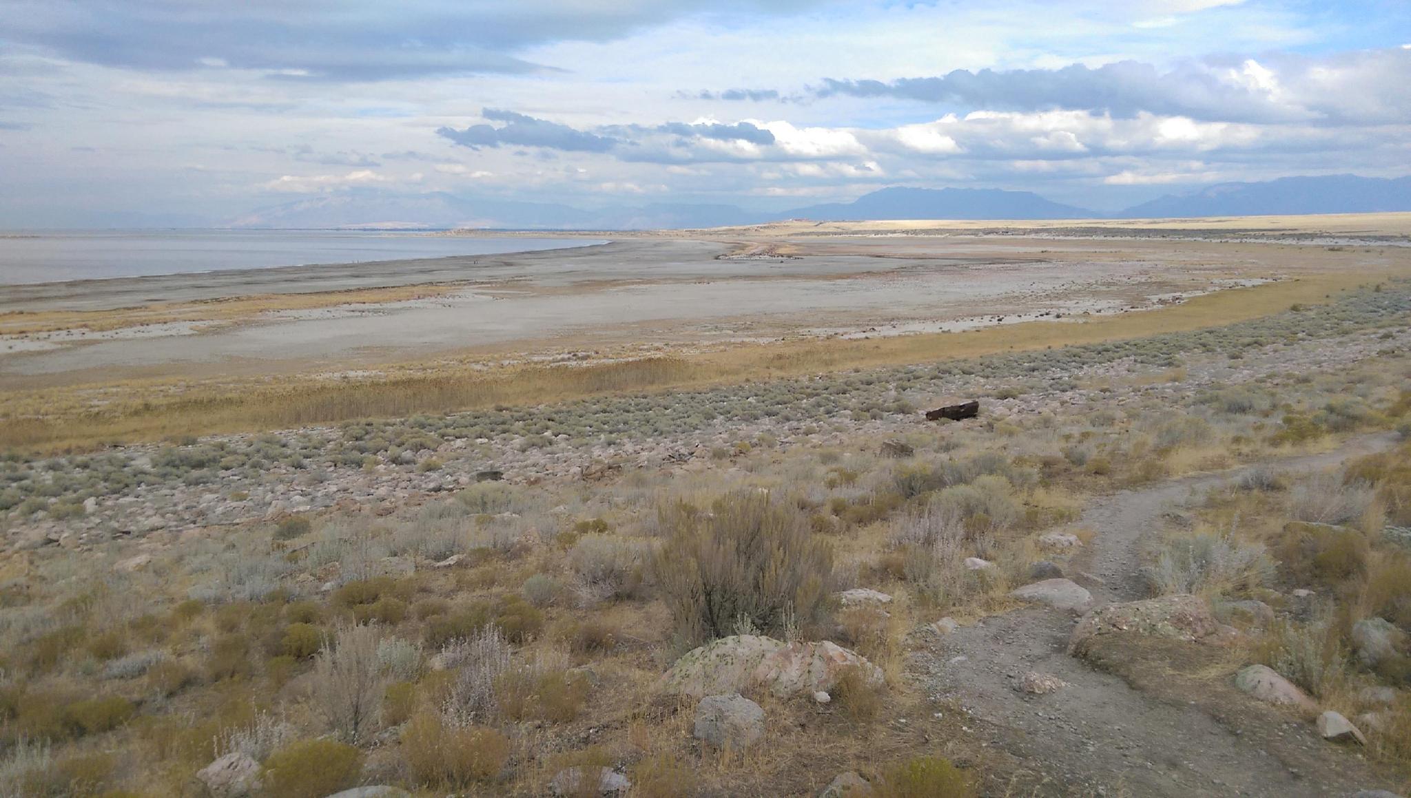
One of my favorite hikes at Antelope Island, this is flat, leisurely amble that has excellent views of the Great Salt Lake. I recommend this hike but suggest it even more strongly if you have two cars. With one car, it is about 5.8 miles out and back, but with two cars, it can be done one as a 2.9-mile one-way outing.
The hike leisurely strolls between the Bridger Bay and the White Rock Bay campgrounds. If you are staying at either campground, this is a great sunrise/sunset outing for photography.
Getting There
The trailhead is reached by first getting to Antelope Island. The island is off I-15, west of Layton. Take exit 332 off I-15, and head west on Antelope Drive. About 7 miles from the freeway is the entrance to the park.
From the entrance to the park, cross the causeway and go left at the first junction after the causeway. Shortly after, take the next right, toward the signed Buffalo Point/White Rock Bay Campground.
Bridger Bay
If starting at Bridger, take the right junction signed Bridger Bay Campground, then the signed left to reach the campground.
White Rocks Bay
To reach White Rocks Bay, a signed road goes off on the left before Buffalo Point. Follow this, making two right at well-signed junctions to reach the small parking area at the trailhead.
Route Description
The route can be started from either Bridger Bay Campground or White Rocks Bay. If starting from Bridger Bay, the trailhead is on the west side of the campground loop, with a small parking area. If starting from the White Rocks Bay Campground, the trailhead is on the north-west side, as a separate small parking area.
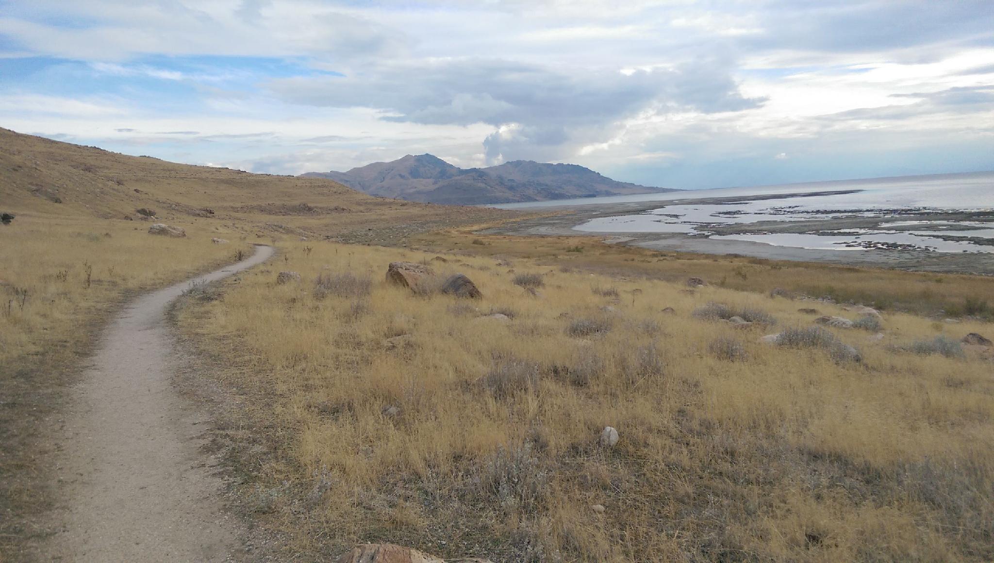
From either trailhead, the trail is well marked and easy to follow.
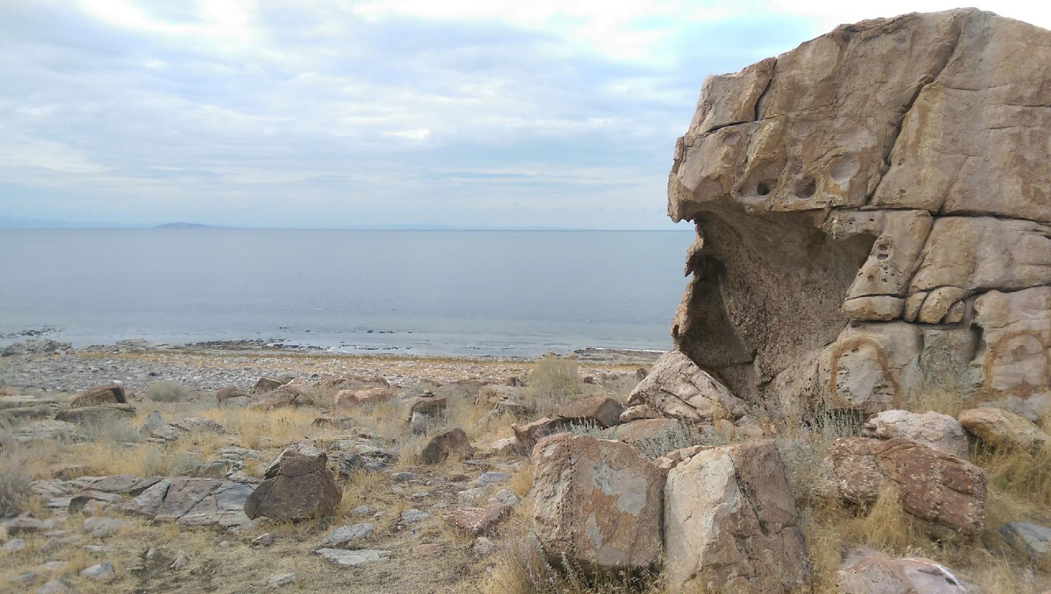
From the Bridger Bay side of the trail, the island to the north is Fremont Island. Once on the west side, heading toward or away from White Rocks Bay, the Stansbury Mountains are prominent on the western skyline. To the northwest, and barely visible as a small peak in the lake is Gunnison Island, a vital pelican habitat.
Maps

12T 393922E 4543943N
41°02'23"N 112°15'43"W
12T 394868E 4542586N
41°01'40"N 112°15'02"W