
 Hiking
Scout Falls
Hiking
Scout Falls
Timpanogos
Overview


Parking requires a permit on weekends in the summer. See the Timpooneke Trailhead Timed Tickets site for current rules and permit availability.
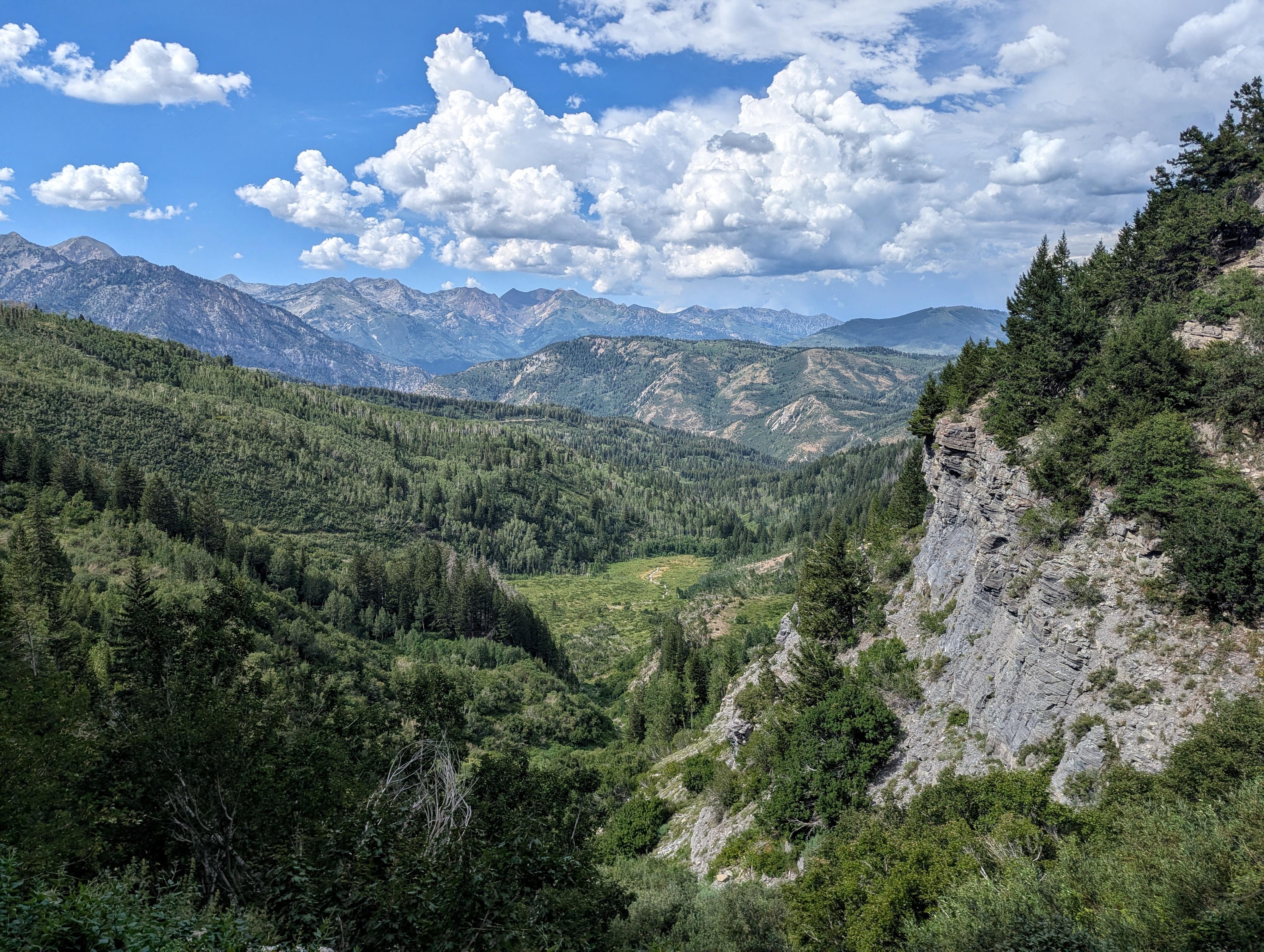
Scout Falls offers a bite-sized taste of Mount Timpanogos without requiring an all-day, 15-mile epic to go all the way to the summit.
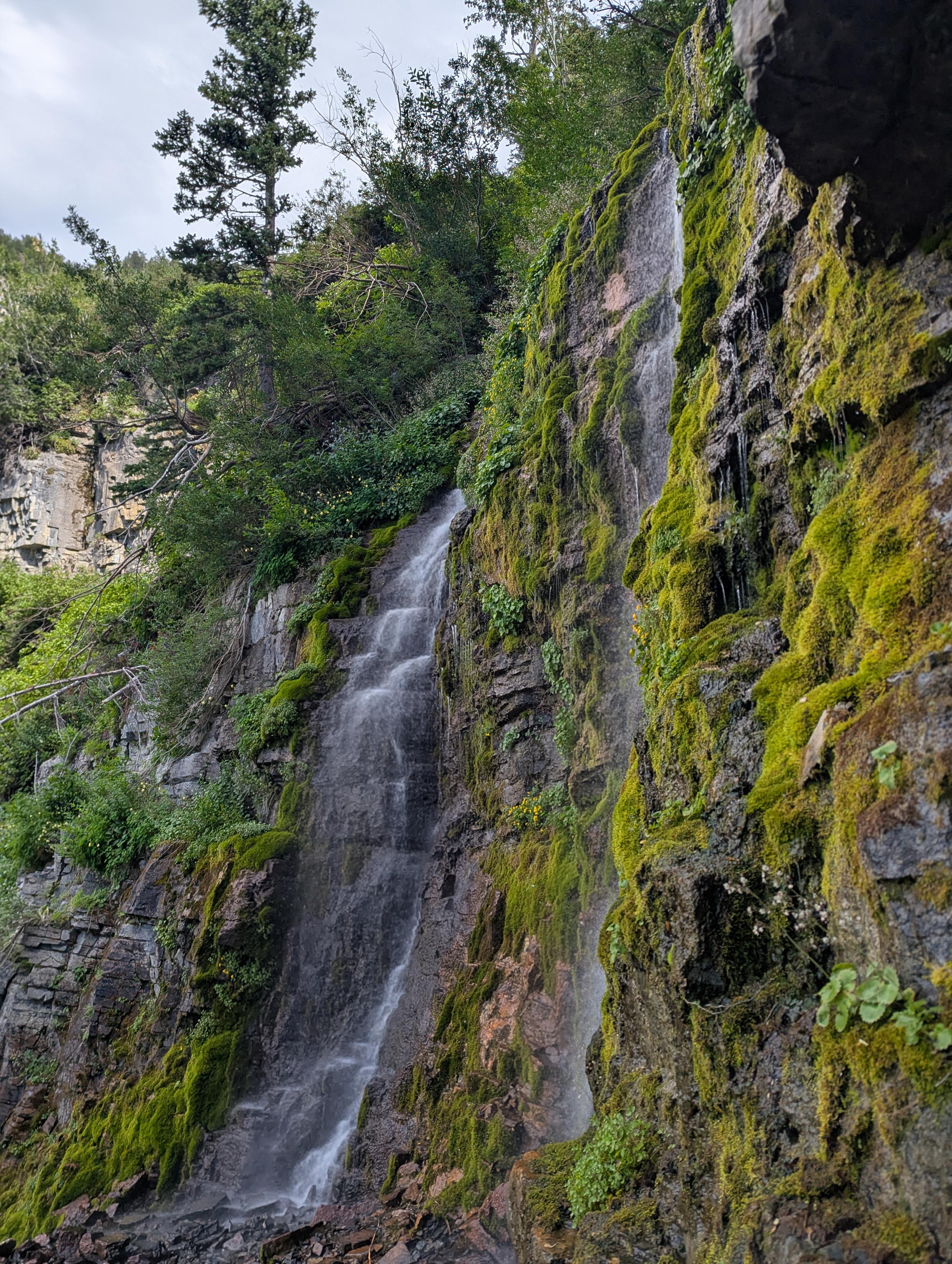
Branching off early from the popular Timpooneke Trail, this short out-and-back hike visits a mossy, multi-tiered waterfall cascading down a sheer limestone cliff face. It’s one of the best family-friendly day hikes along the Alpine Loop, perfect for a crisp morning outing or a quick evening stretch. The trail continues to the top of Timpanogos, and sees heavy use.
Getting There
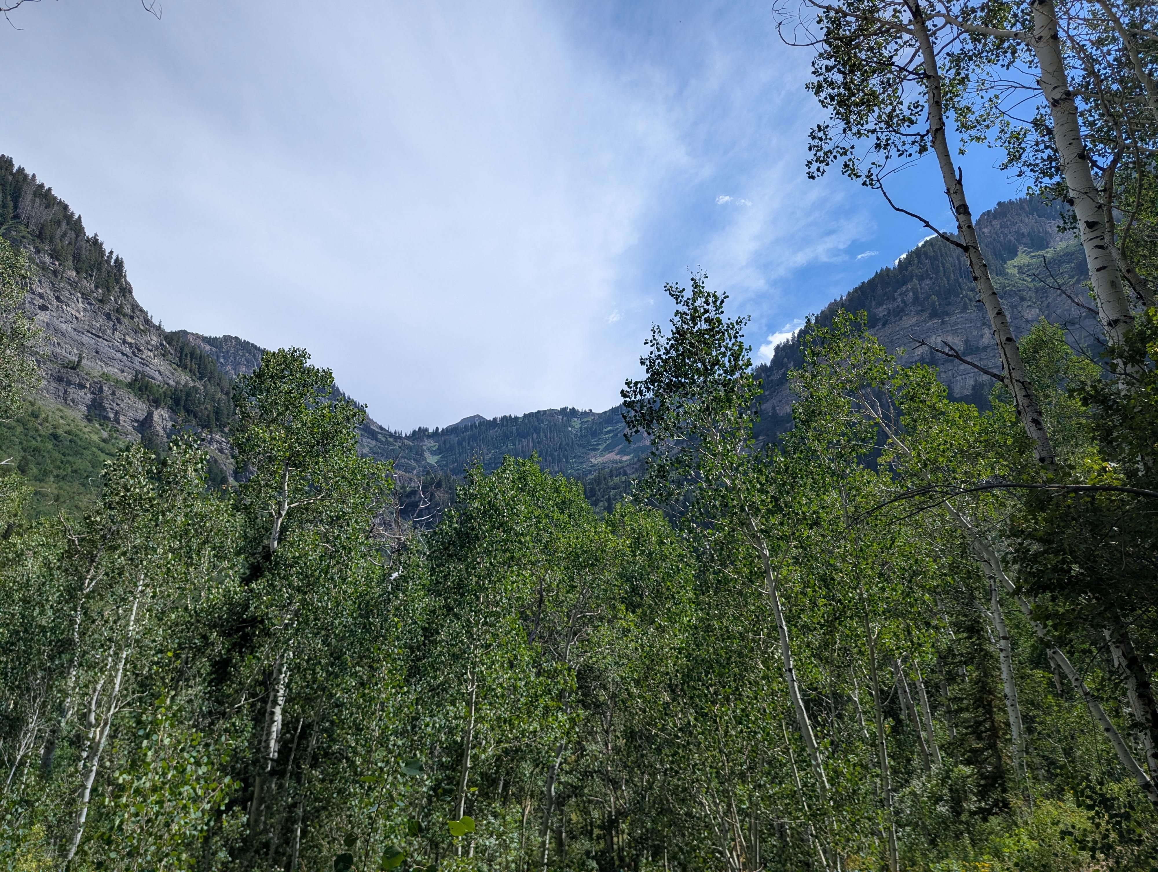
From the fee booth in American Fork Canyon, head east up the canyon on UT-92 E. The road passes Timpanogos Cave, and meanders up. Stay on UT-92 for 8.1 miles to the Timpooneke Campground on the right.
Turn into the camground, and follow the main campground road up for about 0.3 miles to the trailhead and parking lot.
Route Description
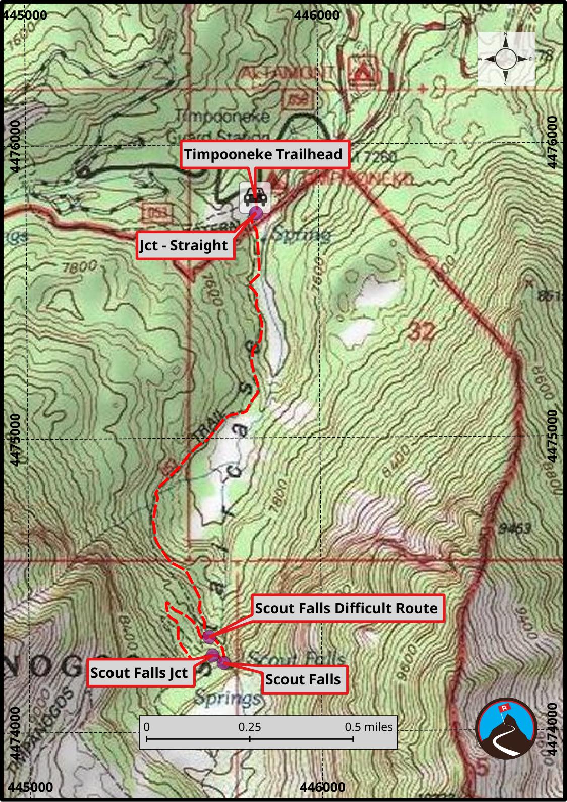
From the trailhead, head south on the trail. In just a minute, it comes to a prominent 4-way junction. Go straight here, south up the valley. (Left is the Salamander Flat Trail, and right is the Equestrian Campground Trail.)
The trail begins climbing. About 1.1 miles from the trailhead, it comes to its first switchback with a social trail going off on the left.
Continue up the main trail. At about 1.4 miles, at a switchback, a second trail leaves on the left and goes to Scout Falls. This is the more common Scout Falls side trail.
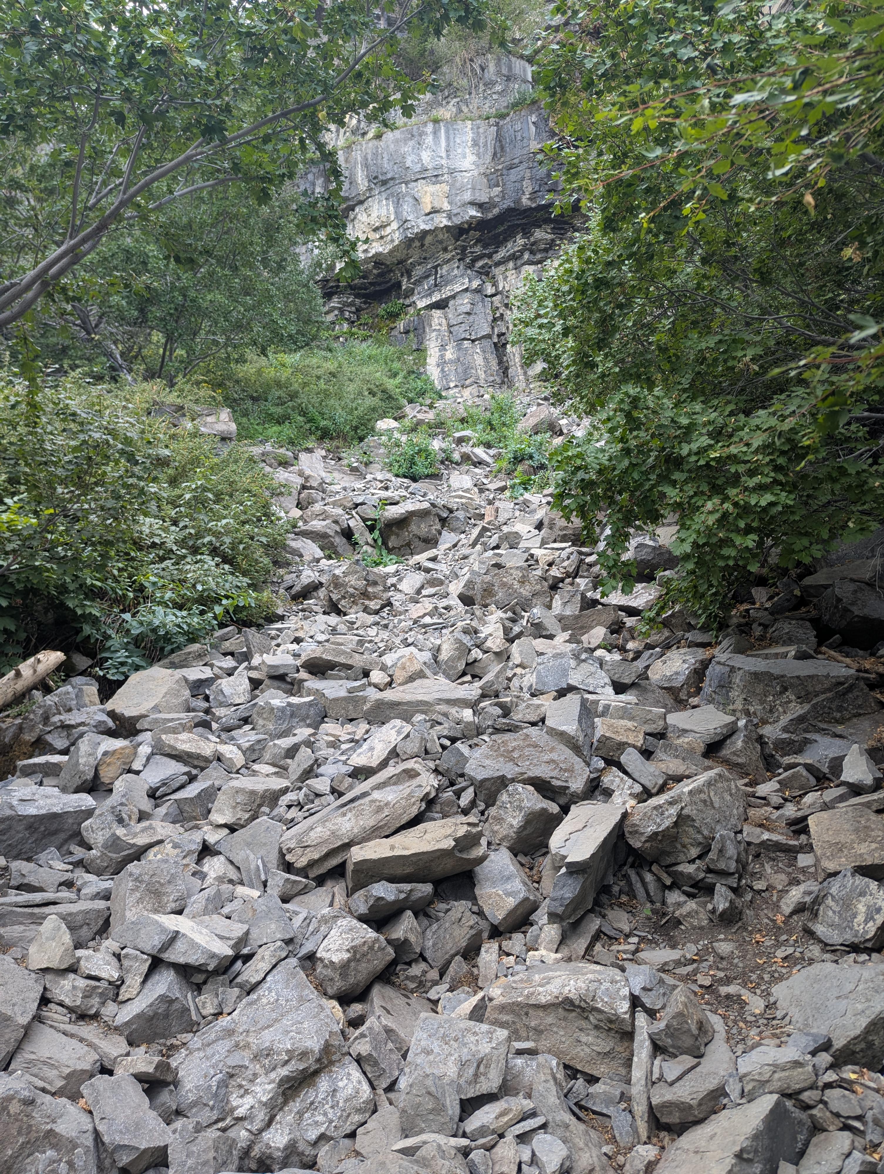
Follow this trail east. There is one rough spot at a mess of tree roots that some people might want a hand on, then over to the falls.
Return the same way.
Maps
12T 445784E 4475819N
40°25'52"N 111°38'21"W
12T 445787E 4475765N
40°25'51"N 111°38'21"W
12T 445616E 4474323N
40°25'04"N 111°38'28"W
12T 445626E 4474259N
40°25'02"N 111°38'27"W
12T 445665E 4474233N
40°25'01"N 111°38'26"W