Mill Creek Ridge |

Lambs Canyon

Hiking Mill Creek Ridge - Lambs Canyon Hiking Mill Creek Ridge

Lambs Canyon

Overview

RATING: Easy Hiking
MAPS: Mount Aire, UT;

Thu

A chance of rain showers before noon, then showers and thunderstorms likely. Partly sunny. High near 54, with temperatures falling to around 48 in the afternoon. Southwest wind 7 to 12 mph. Chance of precipitation is 70%.

54 | 42

Fri

Rain and a chance of thunderstorms. Cloudy, with a high near 42. West wind around 8 mph. Chance of precipitation is 100%.

42 | 37

Sat

Rain and snow showers. Cloudy, with a high near 42. Chance of precipitation is 90%. New snow accumulation of less than half an inch possible.

42 | 32

Sun

A chance of rain and snow showers. Partly sunny, with a high near 47.

47 | 32

Mon

A slight chance of rain showers after noon. Mostly sunny, with a high near 56.

56 | 35

View Full Weather Details
SEASON: Summer, Fall
GEAR: Standard Hiking Gear
WATER: None, bring all you need.

Thu

A chance of rain showers before noon, then showers and thunderstorms likely. Partly sunny. High near 54, with temperatures falling to around 48 in the afternoon. Southwest wind 7 to 12 mph. Chance of precipitation is 70%.

54 | 42

Fri

Rain and a chance of thunderstorms. Cloudy, with a high near 42. West wind around 8 mph. Chance of precipitation is 100%.

42 | 37

Sat

Rain and snow showers. Cloudy, with a high near 42. Chance of precipitation is 90%. New snow accumulation of less than half an inch possible.

42 | 32

Sun

A chance of rain and snow showers. Partly sunny, with a high near 47.

47 | 32

Mon

A slight chance of rain showers after noon. Mostly sunny, with a high near 56.

56 | 35

View Full Weather Details
Wild flowers in Lambs Canyon

Wild flowers in Lambs Canyon

A too sunny picture toward the west and the city from Mill Creek ridge.

A too sunny picture toward the west and the city from Mill Creek ridge.

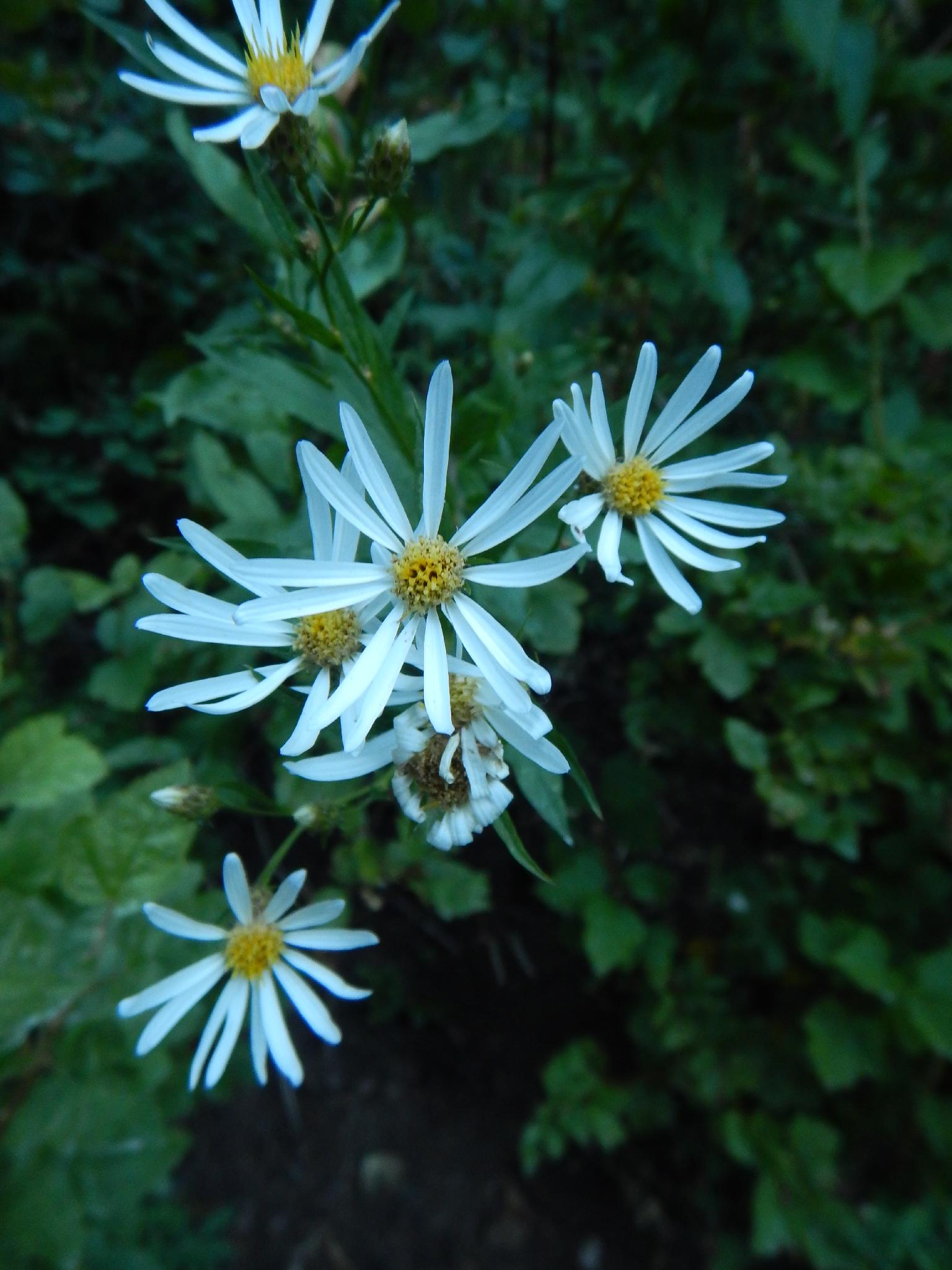
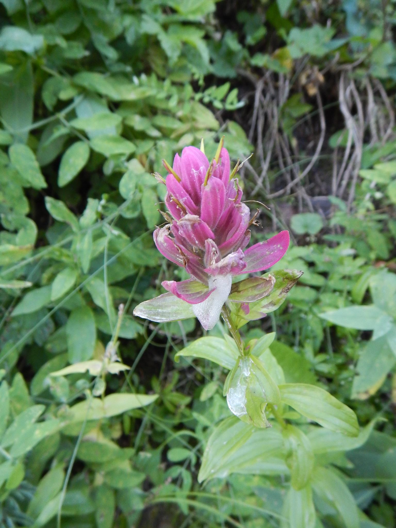
Often overlooked, Lambs Canyon offers one official trail (this one) that ascends up to the Mill Creek Ridge. The trail has been recently improved. It goes into shade by late afternoon, and the 4.2 mile distance makes a good 2-3 hour hike for most. Good scenery, afternoon shade, wild flowers, and fall colors make this a good choice if your looking for a less popular hike near the Wasatch Front.

Note: Access is almost as close as Mill Creek from the Salt Lake Valley, and the road is open from early summer through fall.

Getting started on the Lambs Canyon Hike.

Getting started on the Lambs Canyon Hike.

Typical scene heading up the trail

Typical scene heading up the trail

Getting There

From Salt Lake City, take I-80 East. About 10 miles from the city, take exit 137 for Lambs Canyon, and go right off the highway into Lambs Canyon.

Follow Lambs Canyon about 1.6 miles. There is a parking area, restroom and picnic area on the left. This is the trailhead, the trail starts across the road.

Wild flowers in Lambs Canyon

Wild flowers in Lambs Canyon

Evening light in the aspens.

Evening light in the aspens.

Route

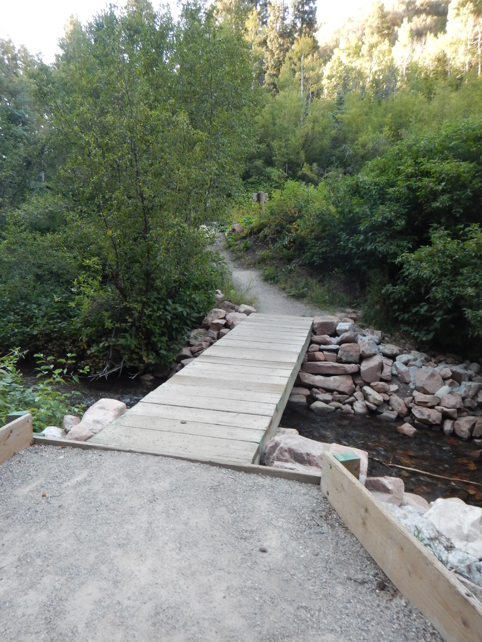
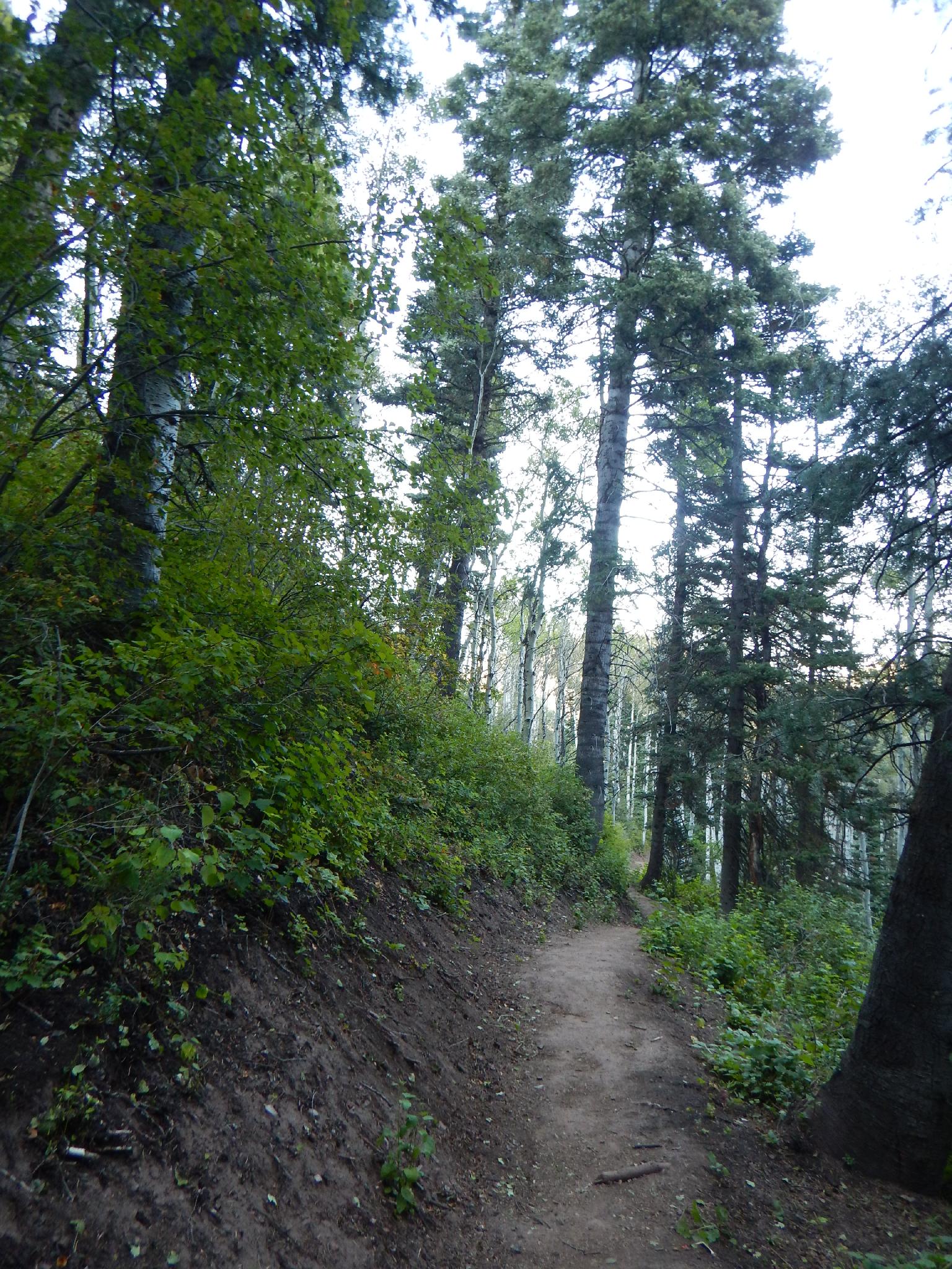
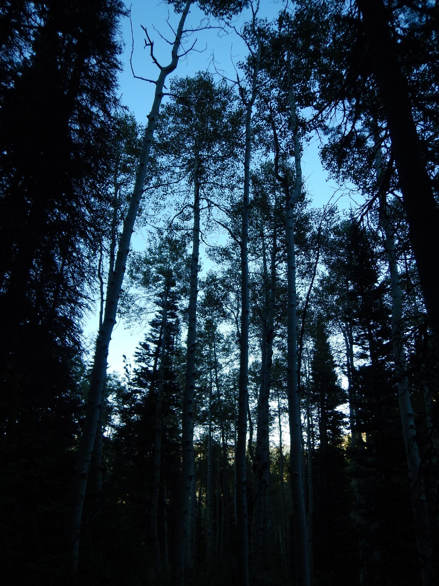
From the trailhead, the trail crosses the stream on a bridge, then begins its ascent. It meanders up through aspen and Douglas firs along the stream with an abundance of wild flowers and wild raspberries lining the trail along the way. Keep an eye out for moose that are frequently spotted in this area.

The trail switchbacks and leaves the stream as the stream gets smaller near its head. Here the trail steepens on its final ascent to the ridge and makes a sweeping switchback to the east, then back west and gradually up the final section to the saddle.

The saddle is the recommended turn around. You can, however, continue on the trail and descend into Mill Creek at Elbow Fork, or bushwhack to the east up to the next peak, Mill Vue peak, though the route looks quite bushy and overgrown.

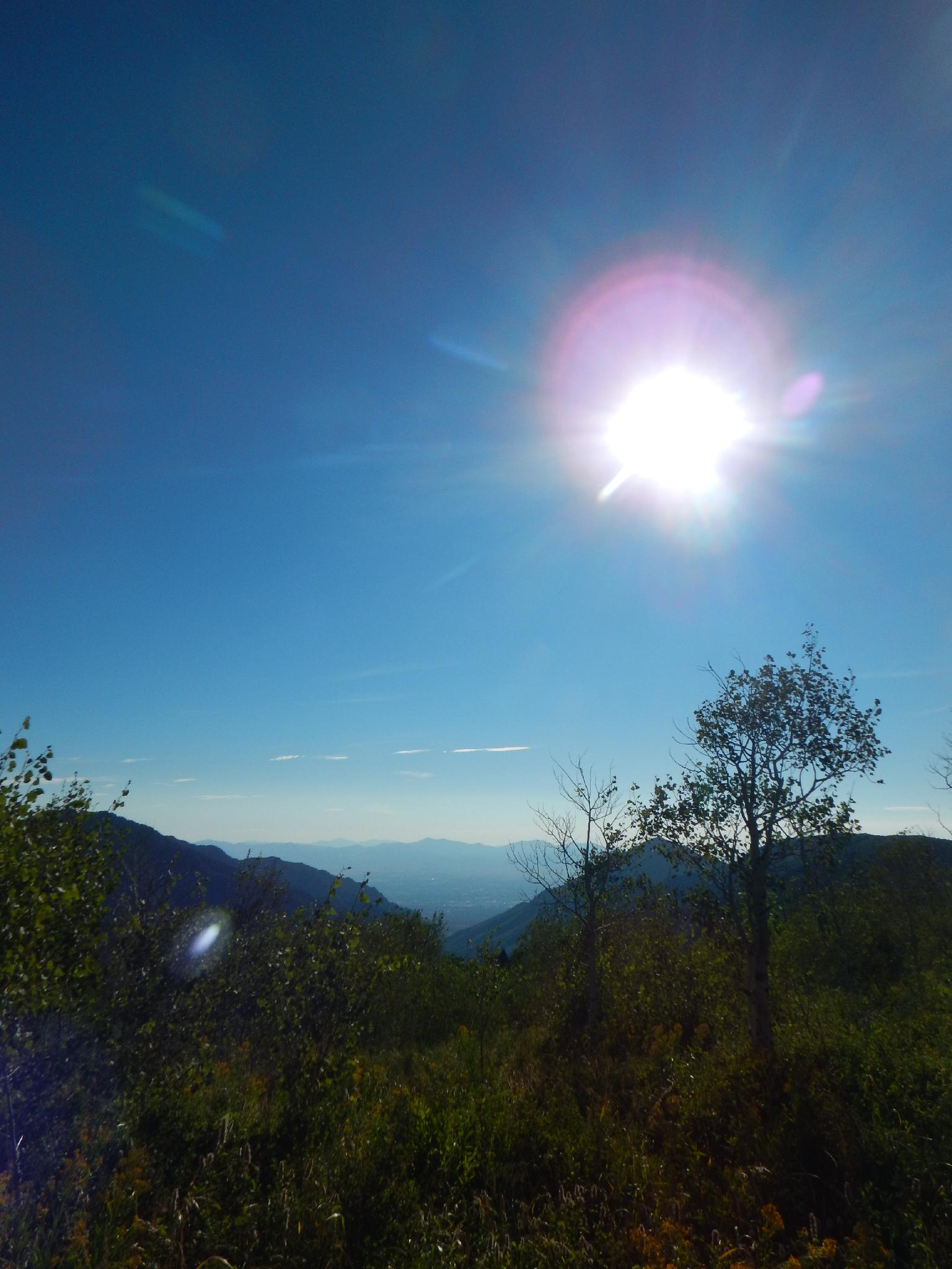
From the saddle, the prominent peak almost due south with the rock cliffs on its west side is Mount Raymond. This vantage also offers good views west into the Salt Lake Valley and of Grandeur Peak. Return the same way.


Maps

Route / 4.45 miles / Elevation Range 6,622 - 8,130 ft.
Printable Maps:
Trailhead

12T 444420mE 4508015mN

N40° 43' 16" W111° 39' 29"

Ridge

12T 442930mE 4506360mN

N40° 42' 22" W111° 40' 32"

Comments

Want to make a comment? Login and let yourself be heard.