
 Legacy Parkway Trail
Davis County
Overview
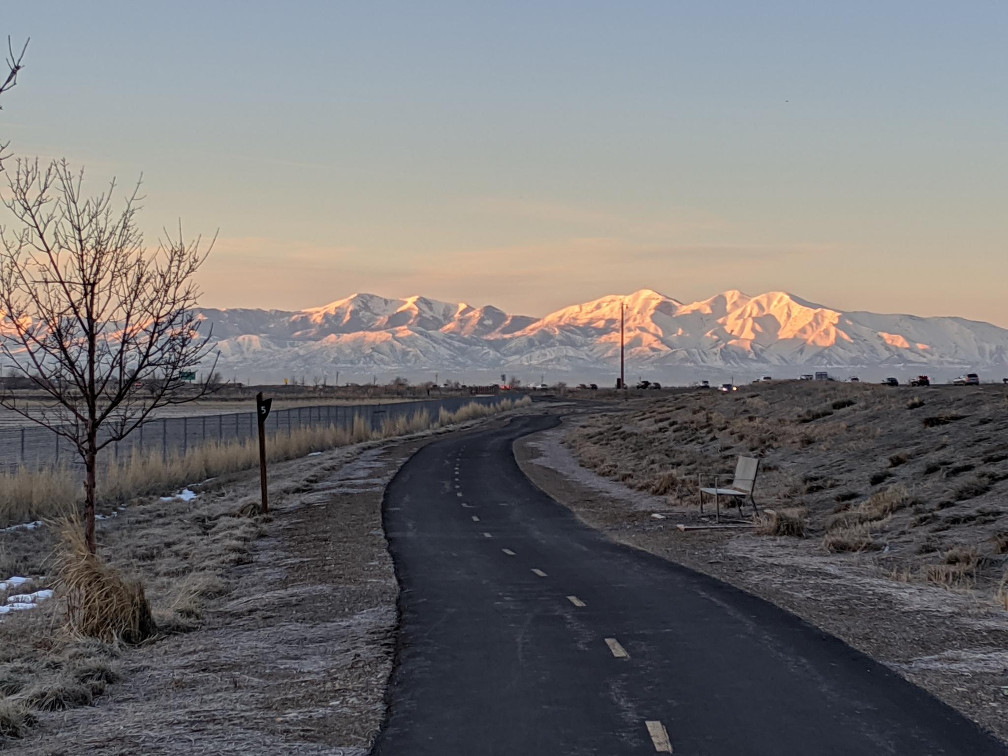
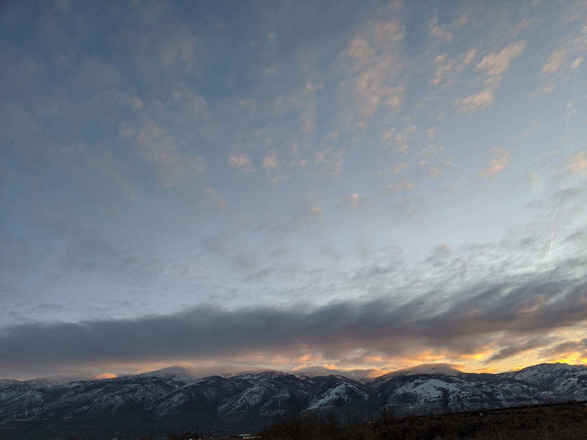
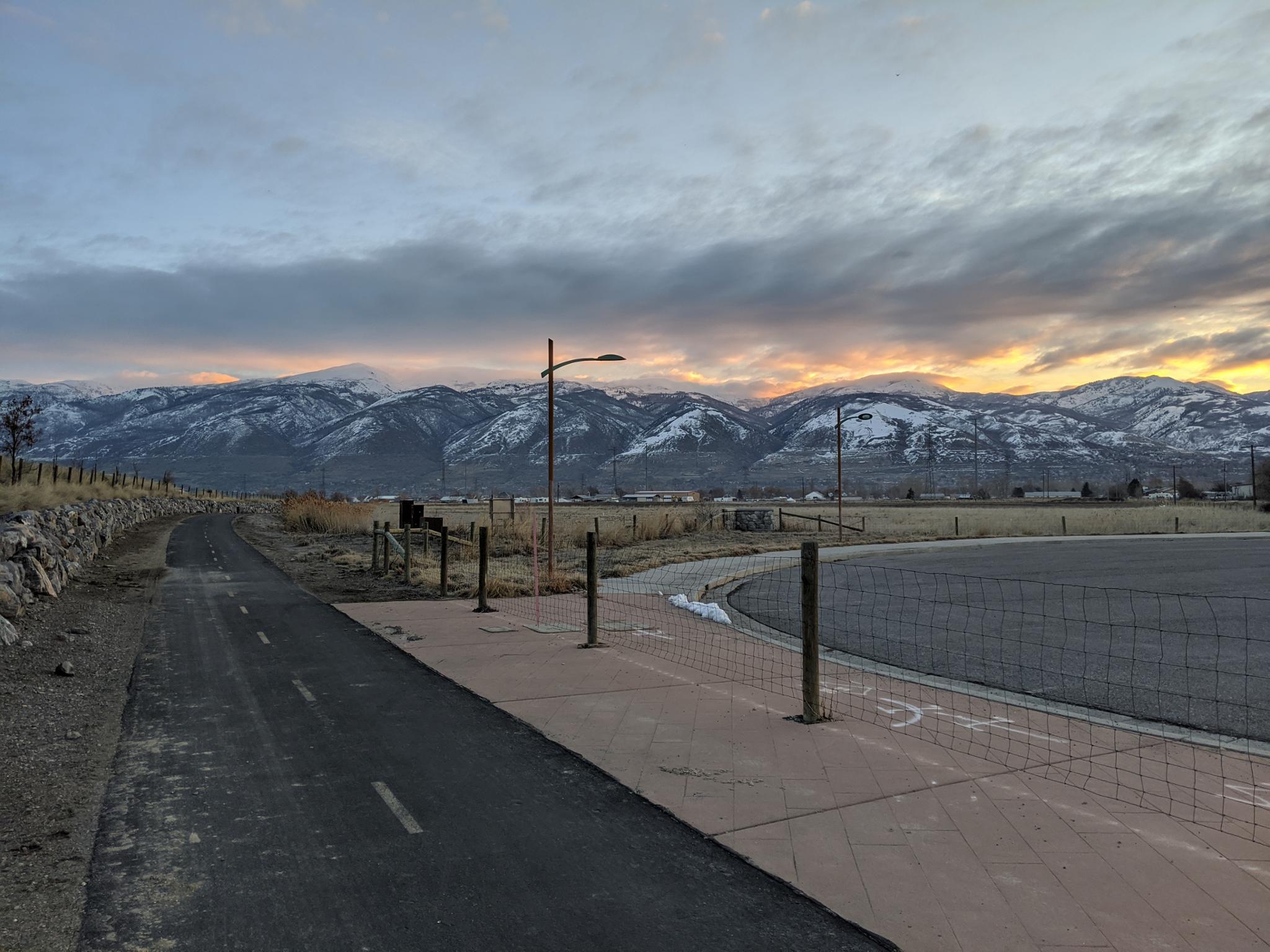
Built as part of the Legacy Parkway in 2008, the paved Legacy Parkway Trail follows the Legacy Parkway from North Salt Lake to Farmington. The trail is a gem, offering easy access for bikers, walkers, runners, and others. For most of its length, the trail is within a stone's throw of the highway, which detracts a bit from the ambiance, but views of the Wasatch Mountains, Antelope Island, and wetlands around the Great Salt Lake make up for the highway noise.
The trail, on its southern end, connects to the Jordan Parkway Trail, providing over 50 miles of continuous trail to enjoy. The trail does not receive winter maintenance, but melts out fairly quickly, making it a good winter outing, especially for runners needing a long path to stretch their legs on.
Getting There
South End
The southern most trailhead is Center Street Trailhead, 1100 West Center Street, North Salt Lake
North End
The northern most trailhead is Farmington Station. To reach Farmington Station, take Exit 324 from I-15 toward I-84 E/South Ogden. Take exit 395 almost immediately after getting off I-15, then turn left, cross over I-15, then turn left a final time onto Station Parkway. The trail is right behind the light rail station.
I describe other trailheads below in a south to north order with distances between them.
Route Description
Center Street Trailhead (Google Map)
This is not actually the southernmost point of the trail. The trail continues south from Center Street Trailhead about a mile where it crosses under I-215 and seamlessly becomes the Jordan River Parkway Trail.
Going north from Center Street Trailhead:
2425 South Trailhead (1.6 miles north of Center Street Trailhead) (Google Map)
The nearby Foxboro North Regional Park has a restroom, water, playground and splashpad available in the summer.
Mountain View Trailhead (1 mile north of 2425 South Trailhead) (Google Map)
The park has restrooms, water, and a playground.
Mill Creek Trailhead (1.95 miles north of Mountain View Trailhead) (Google Map)
Parking area and access point only, no water or restrooms. If you have time, a spur trail goes under the Legacy Parkway to Bountiful Pond, a nice fishing, canoeing and other recreation pond. It is less than a mile round trip side trip.
Pages Lane Trailhead (0.6 miles north of Mill Creek Trailhead) (Google Map)
Parking area and access point only, no water or restrooms.
Birnam Woods Trailhead (1.05 miles north of Pages Lane Trailhead) (Google Map)
Parking area and access point only, no water or restrooms. The stretch from here to Farmington Trailhead is the longest between major trailhead. It is also, to me, one of the best sections. Shortly after Birnam, the trail crosses under the parkway to the west side and takes on a more rural feel with fields and wetlands to the west.
Farmington Trailhead (4.55 miles north of Birnam Woods Trailhead) (Google Map)
This is currently just a dirt parking area. No water or restrooms. There is development going on nearby, so this may become a more developed trailhead in the future.
Farmington Station (1 mile north of Farmington Trailhead) (Google Map)
This is the light rail station and bustling commercial hub. The trail continues another 0.3 miles beyond this stop, but then ends.
Maps


12T 420596E 4521629N
40°50'31"N 111°56'31"W
12T 420595E 4524102N
40°51'51"N 111°56'32"W
12T 421049E 4525504N
40°52'37"N 111°56'13"W
12T 422160E 4528239N
40°54'06"N 111°55'27"W
12T 422864E 4528873N
40°54'26"N 111°54'57"W
12T 424028E 4529943N
40°55'01"N 111°54'08"W
12T 424452E 4536475N
40°58'33"N 111°53'53"W
12T 423789E 4537843N
40°59'18"N 111°54'22"W