 Hiking
The Granite Flume
Hiking
The Granite Flume
Big Cottonwood Canyon
Overview
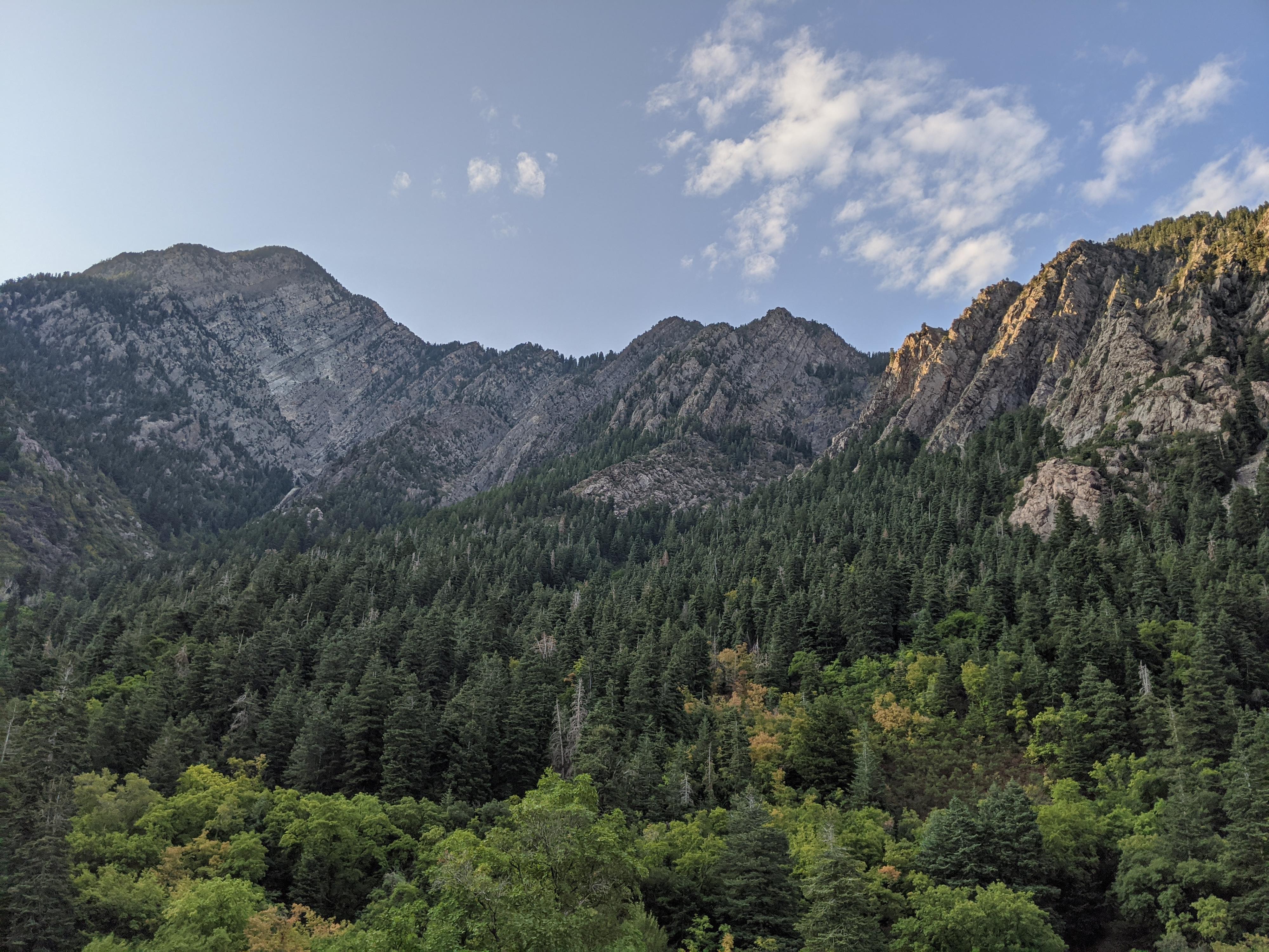
The Granite Flume, as it is labeled on USGS maps, it both a piece of Big Cottonwood Canyon history, and a nice hike. As hike, once you make a short climb from the road, the trail ambles along flat terrain for about a mile. As the trail heads down canyon and the road grows more distant below, views of lower Big Cottonwood Canyon and the Salt Lake Valley in the distance become better and better. This is a great easy hike when it is not too hot or snowy, but it is particularly charming in the fall when the colors in the foothills are changing. Even our three-year-old enjoyed and was able to walk most of the hike.
Getting There
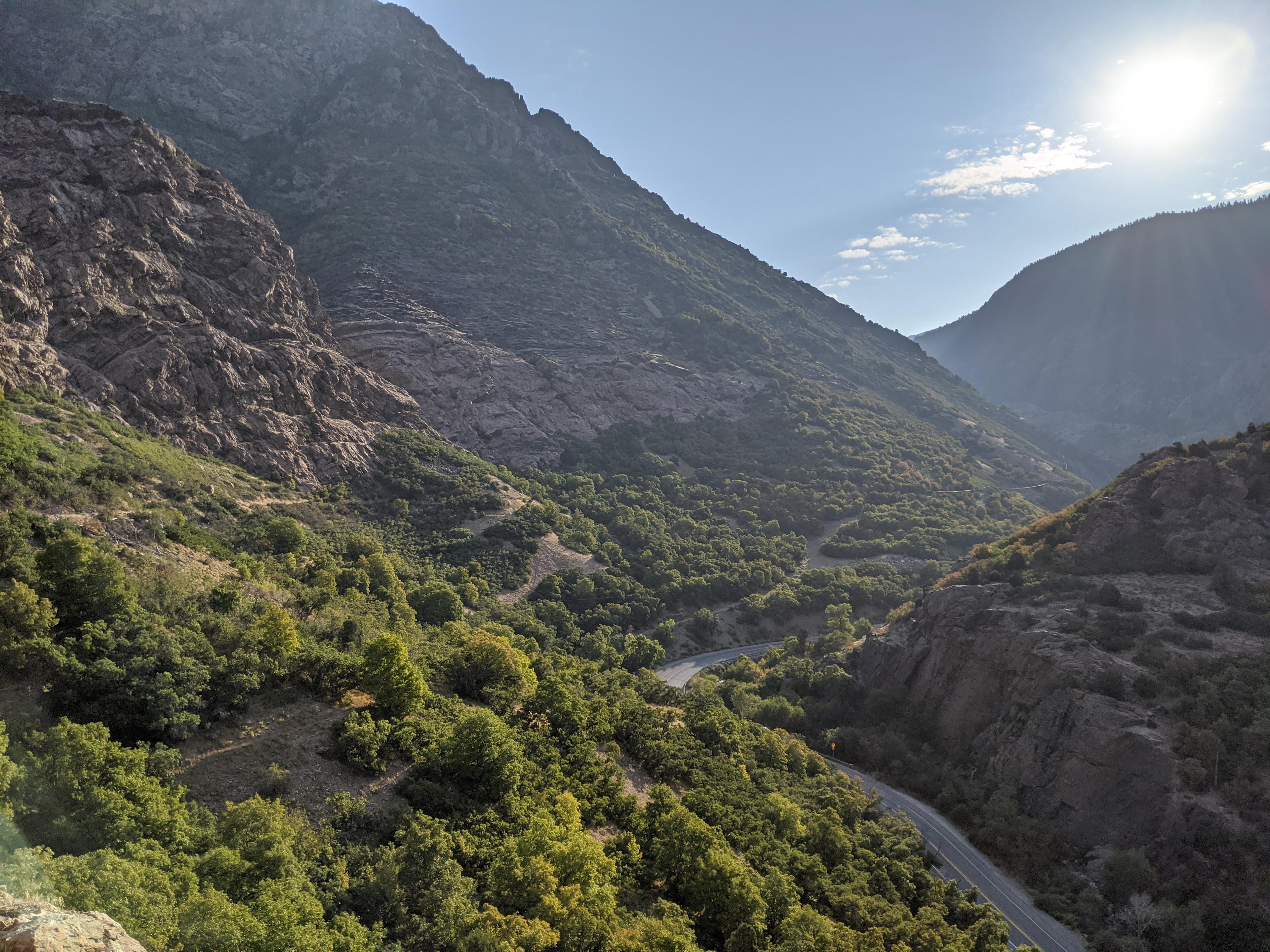
Big Cottonwood Canyon is on the east side of the Salt Lake City Valley. Get there by taking I-215 to the east, taking exit 6 off the interstate and heading east.
Follow 6200 South which becomes Wasatch Blvd for 1.8 miles to the stop light and signs for Big Cottonwood Canyon.
Turn left at the light and reset your odometer.
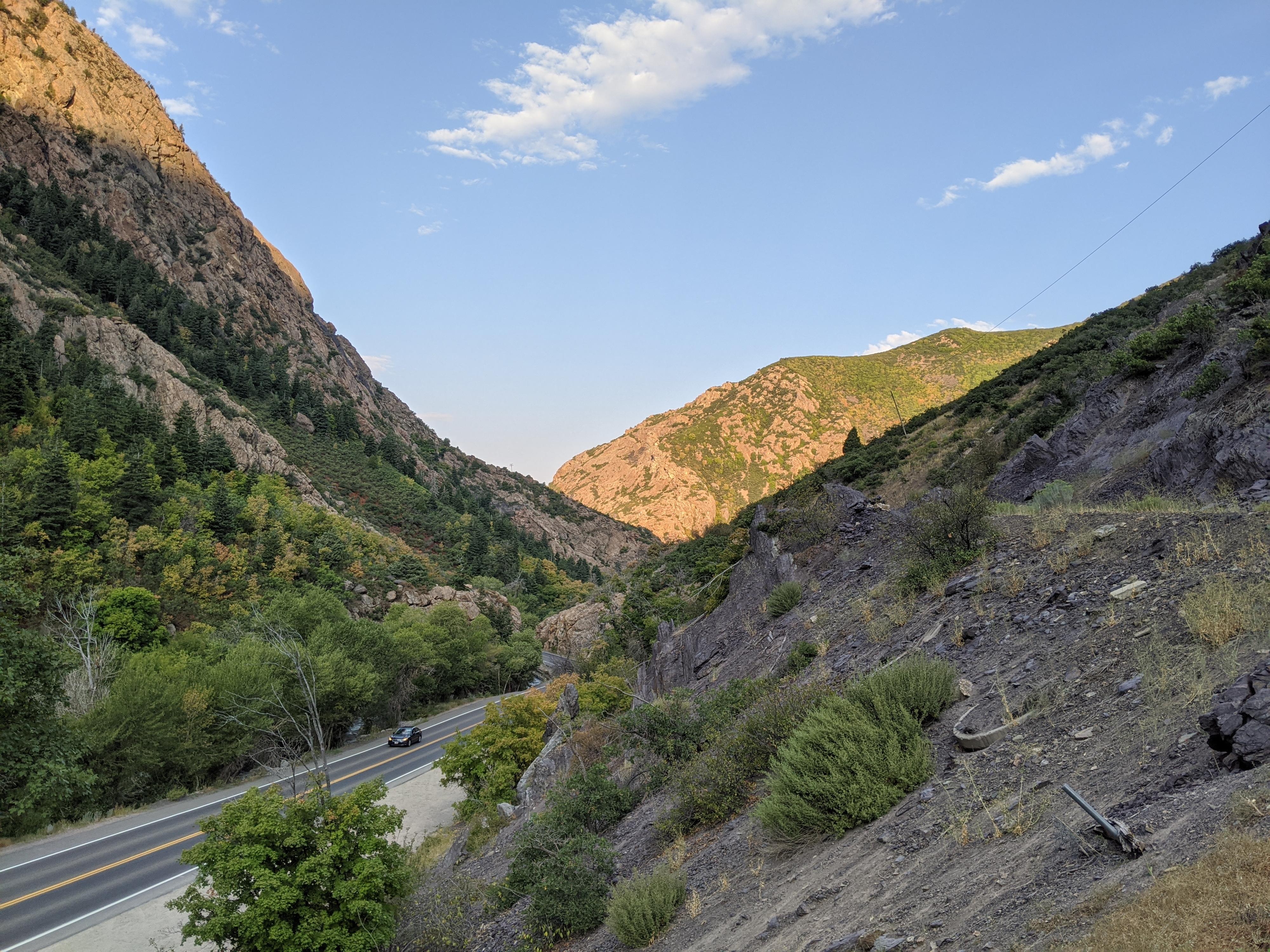
Drive up Big Cottonwood Canyon. At 3.7 miles there is a parking area on the left (north) side of the road, with the Birches Picnic area on the right side of the road. Park here, this is the trailhead.
Route Description
From the parking area, go up canyon to the gate and old side road climbing steeply up. Follow this first steep climb a short distance to the obvious flat trail that heads west.
Navigation is done! From here, head west along the path of the old flume. The cliff face you can see in the distance as you head west is where the trail ends. There are a handful of side trails that go down to the Big Cottonwood Road or up to cliffs but stay on the flat wide path.
As the trail nears the cliffs, several gullies are crossed. When the flume was built, these obstacles were traversed with bridges. At the cliff, there is a short vertical wall that must be climbed to continue. Logs make this easier, but some may wish to turn back here. There is an excellent small shaded ravine just before this obstacle that makes a great break spot. If continuing, the trail is carved into the cliff side for just a short distance before a more serious bridge wash-out makes for an insurmountable challenge for most. Return the same way or take one of the many side trails down to the Big Cottonwood Road and walk up the road. For my time, I think re-tracing the trail is more enjoyable then walking along the busy BCC Road.
Photos
Maps

12T 435993E 4497196N
40°37'23"N 111°45'24"W
12T 434872E 4497302N
40°37'26"N 111°46'12"W
12T 434872E 4497249N
40°37'25"N 111°46'12"W