 Hiking
Rishel Peak
Hiking
Rishel Peak
Silver Island Mountains
Overview
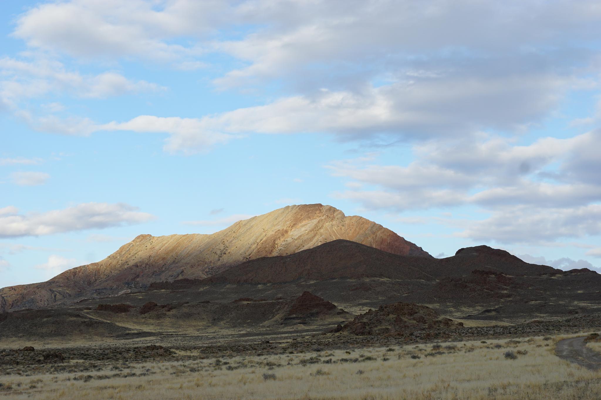
The east face of Rishel Peak is one of the more picturesque peaks in the Silver Island Mountains. The face is an uplift of the layers below behind thrust up in a tectonic shift. The different layers are different colors and textures, making for a dramatic face.
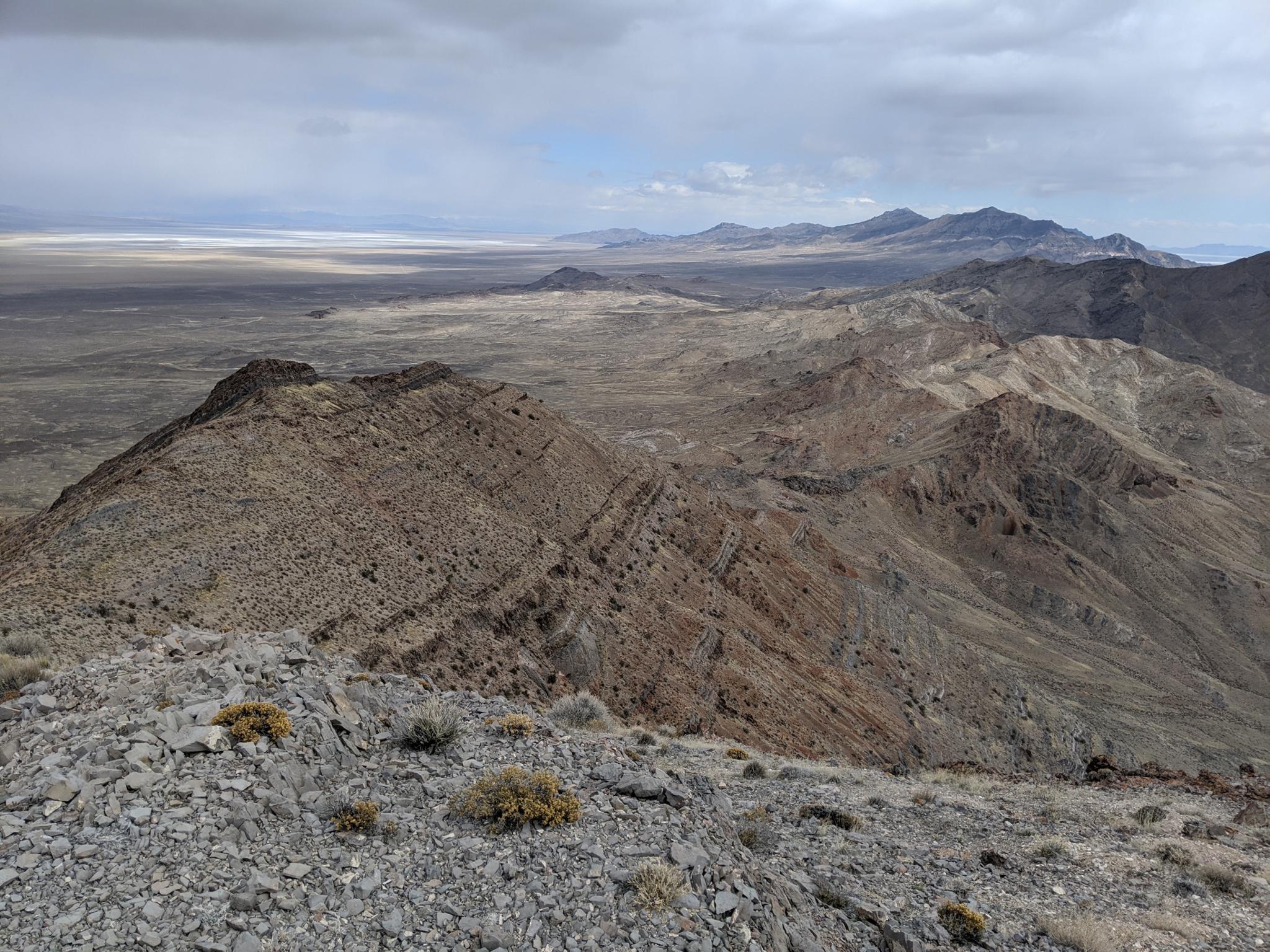
Though the east face is dramatic, steep, and loose, the west and north sides of the mountain allow for an easy route to the summit. On my visit, I had planned on parking on the west side and hiking the most direct route to the summit. Once there, however, I found the north ridge to aesthetic to pass up! The ridge, straddling the Great Salt Lake Desert to the east and Pilot Peak to the west makes for fantastic and changing views the whole way up.
Infrequently travelled, there are portions of a social trail in places but expect to do a bit of route finding, though it is straightforward. Also expect a little screen and loose rock in sections, but again, minimal and straightforward.
Getting There
Reaching the trailhead starts by going north off I-80 at exit 4. This is a few miles east of Wendover, UT, and about 115 miles west of Salt Lake City.
Once off the freeway, reset your odometer on the north side of the freeway and head north toward Bonneville Salt Flats.
Route Description
From the parking area, the north ridge is visible. Hike cross country south and a little east up the nearest ridge to reach the north ridge proper. Staying on or near the ridge seems easiest.
Once on the north ridge, follow it south. It has some loose rock but is easy going. Near the top, a grey cliff band appears. Stay below the base of the cliff band and traverse across to the base of the final summit ridge.
On the final summit ridge, most any route will work, but there is a bit of a social trail on the left side of the grey rock rib. The top offers excellent views in all directions!
Maps

12T 250924E 4524191N
40°49'51"N 113°57'14"W
12T 250827E 4522634N
40°49'01"N 113°57'16"W