 Hiking
West Rim Trail
Hiking
West Rim Trail
Zion
Overview
Several companies in Springdale offers shuttles, such as Zion Adventure Company and Zion Rock and Mountain Guides.
Ah, the West Rim Trail, a sublime (and long) hike from the high elevations all the way down to the Virgin River in the main canyon of Zion. This hike offers outstanding views, and a great way to experience Zion and the diverse ecosystems it has. The length may put off some, but it is worth the effort.
There are two approaches to this hike, either as a long day hike or overnight. I'll argue strongly for doing it as a long day hike instead of an overnight. If you do this as an overnight, you have to get a permit, and there are assigned/limited campsites available. In summer/fall, water can also be a problem, as there is only one reliable spring on the hike. If you choose to do this as a backpack, I'd recommend doing it in the spring when the springs are more likely to be flowing.
If backpacking, you will need a permit, and check with the visitor center on the current status of the springs. If day hiking, no permit is needed (and carry all the water you will need with you).
Getting There
Exit Trailhead
The trailhead is the Grotto Shuttle stop in the main Zion Canyon. During most of the hiking season, the Zion shuttle is the only access. Leave your car at the visitor center.
Note: Reaching is trailhead is generally passable to all vehicles, but can be impassable if muddy.
Start Trailhead
From the Zion Visitor Center, head west on UT-9 for about 12 miles until you reach the town of Virgin. The Kolob Reservoir Road goes off on the right as you enter the town.
Route Description
To Trail Junction (2-2.5 hours)
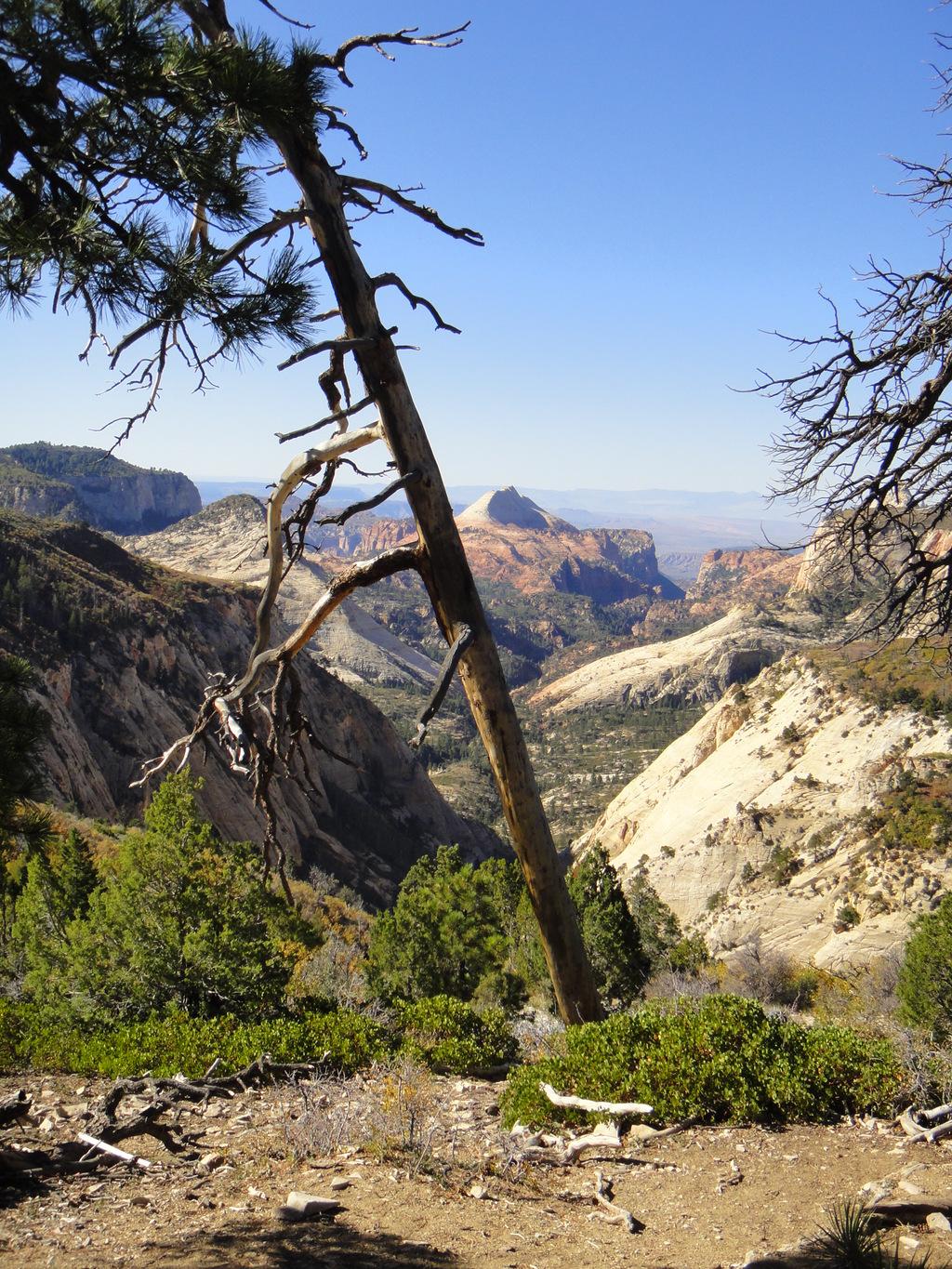
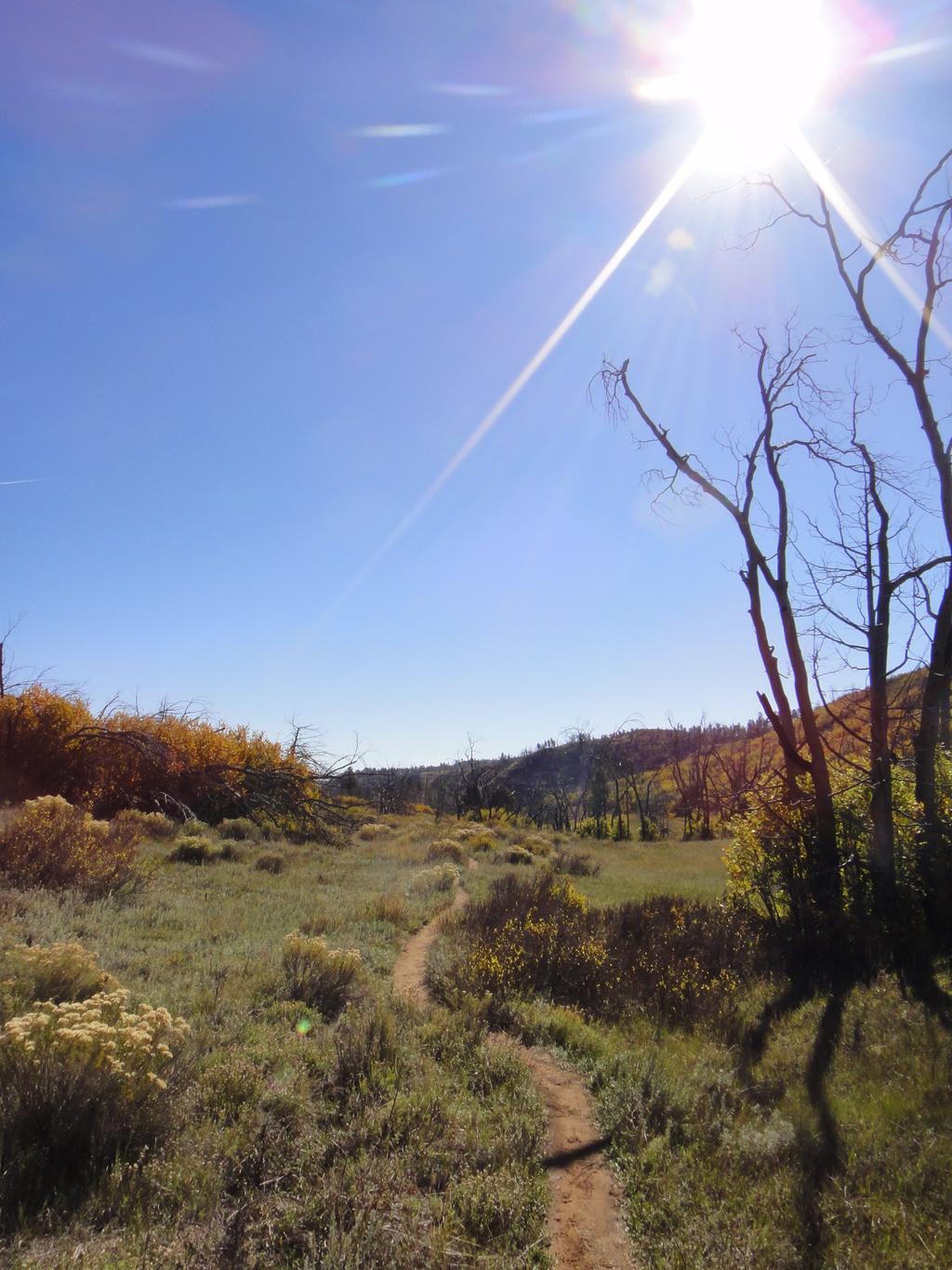
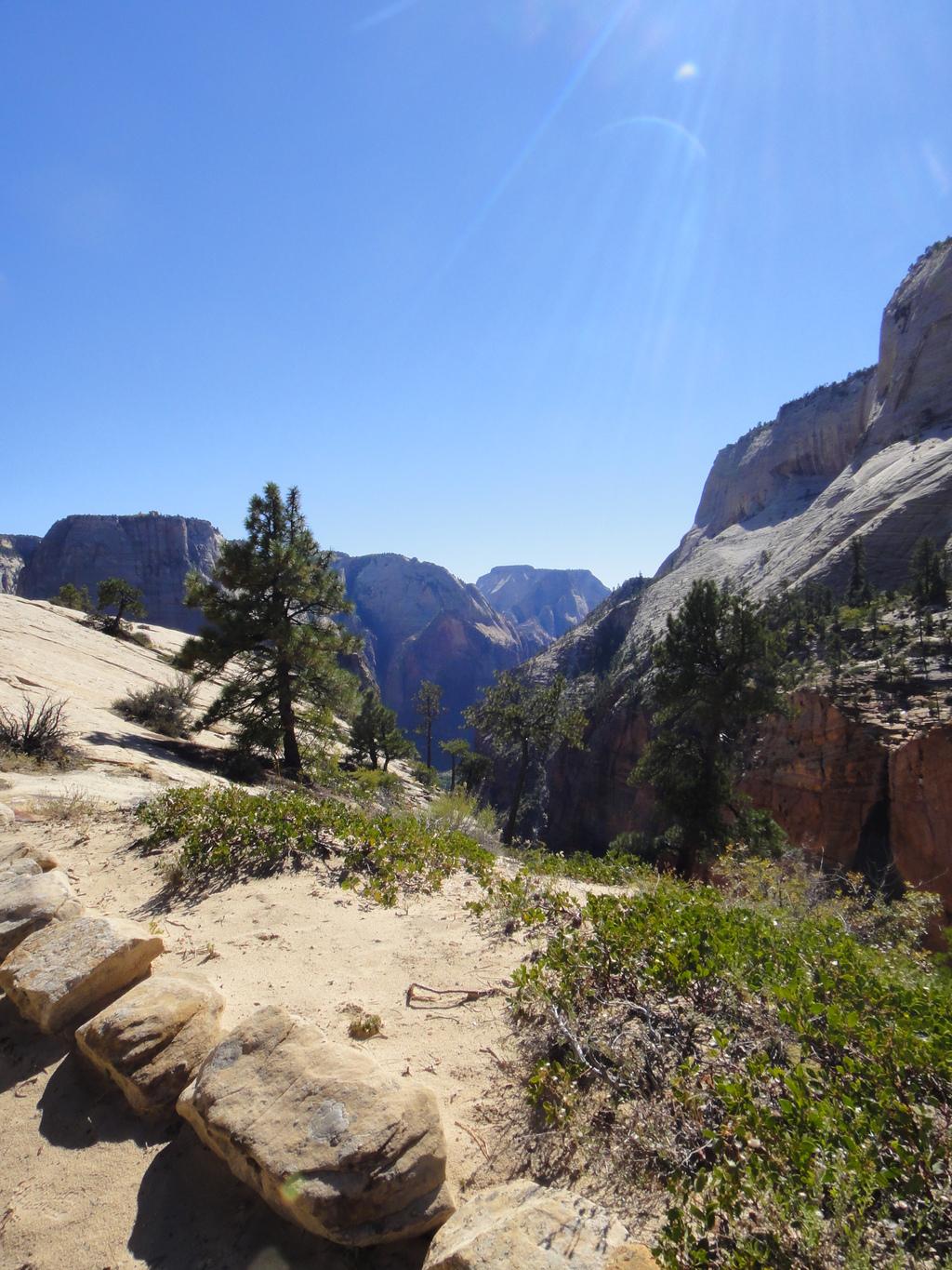
Start down the West Rim Trail. In just a few minutes, the Wildcat Canyon Trail goes off on the right. Stay left, on the main West Rim Trail. This first section of trail is in the high ponderosa pine forest with dramatic views. It is an hour and a half or so of gentle up and down to Potato Hollow. There is a small spring and pond at Potato Hollow. The side trail is well marked.
From Potato Hollow, you can see Imlay Canyon on the left (north) side of the trail. The designated campsites start in this area as well, with numbered signs and small side trails going to them. The West Rim Trail now climbs about 500 feet in about 1.5 miles to a junction. The section from Potato Hollow to the trail junction offers dramatic views in the Upper Right Fork and Phantom Valley on the right (west).
Trail Junction to Edge of Mesa (45-70 minutes)
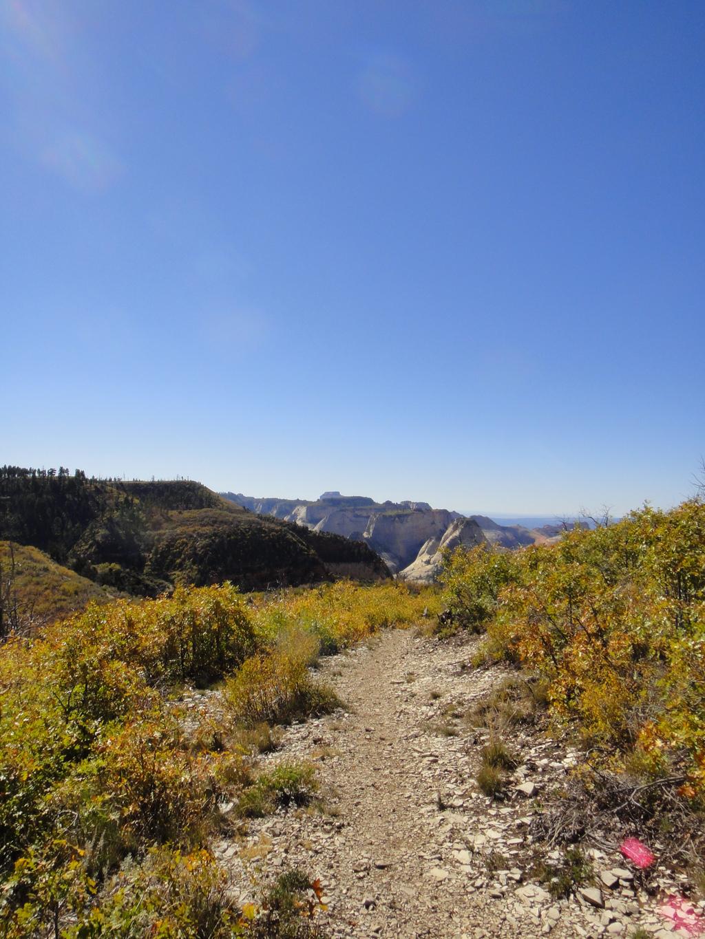
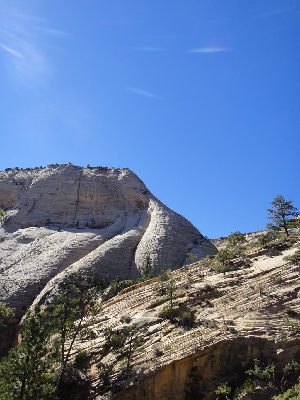
Decision time. At the trail junction, you can either go right or left. Both trails end up in the same place. Left, or Telephone Canyon as it is known, is a mile or so shorter, with views into Telephone Canyon. Right, or the Rim Trail, is longer, but offers much better views. Unless there is a compelling reason not to take the Rim Trail, take that route, it is much better.
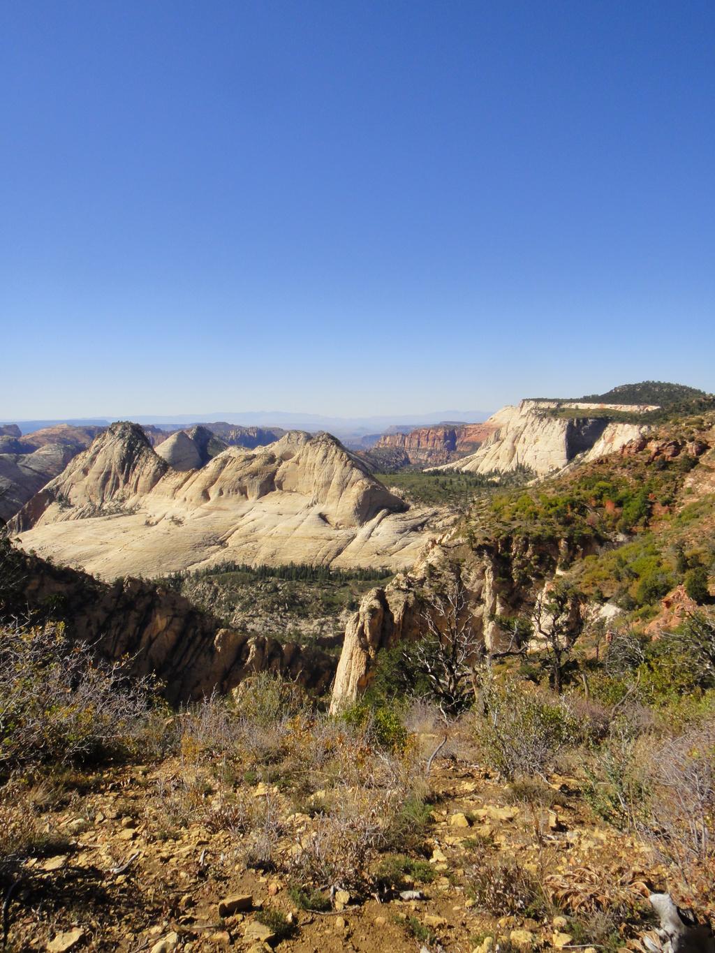
Via either route, you will end up at the West Rim Spring in 45-70 minutes. The West Rim Spring is a small, well-signed spring just off the Rim Trail. If you need water, this is the last place to get it.
To the Canyon Floor (90-120 minutes)
The trail drops steeply off the mesa. When you reach the bottom of the first steep section, you are at Behunin Pass, with Behunin Canyon on your right. This area can hold snow and ice late into spring. Follow the trail as it crosses slickrock and offers views of the main canyon. It drops again before reaching Scout Lookout. A pit toilet is available at Scout Lookout.
From Scout Lookout, the trail steeply descends Walters Wiggles, to Refrigerator Canyon, then down to the main canyon floor.
Maps


12S 320893E 4139116N
37°22'53"N 113°01'23"W
12S 323995E 4130530N
37°18'17"N 112°59'09"W
12S 325509E 4128568N
37°17'15"N 112°58'06"W
12S 323835E 4132334N
37°19'16"N 112°59'17"W
12S 327062E 4127167N
37°16'30"N 112°57'02"W
12S 327055E 4125465N
37°15'35"N 112°57'01"W