Valley of Faces | Basin and Range Monument

Hiking Valley of Faces - Basin and Range MonumentRoadside Attraction Valley of Faces - Basin and Range Monument Valley of Faces

Basin and Range Monument

Overview

RATING: Roadside Attraction or Hike
LENGTH: 1+ hours
MAPS: WHITE RIVER NARROWS, NV

Tue

Sunny, with a high near 88. South wind 3 to 15 mph, with gusts as high as 21 mph.

88 | 63

Wed

Sunny, with a high near 88.

88 | 62

Thu

Sunny, with a high near 88.

88 | 60

Fri

Sunny, with a high near 90.

90 | 59

Sat

Sunny, with a high near 89.

89 | 60

View Full Weather Details
SEASON: Fall, Winter, Spring (hot in summer)
WATER: None

Tue

Sunny, with a high near 88. South wind 3 to 15 mph, with gusts as high as 21 mph.

88 | 63

Wed

Sunny, with a high near 88.

88 | 62

Thu

Sunny, with a high near 88.

88 | 60

Fri

Sunny, with a high near 90.

90 | 59

Sat

Sunny, with a high near 89.

89 | 60

View Full Weather Details
Driving through the narrows.

Driving through the narrows.

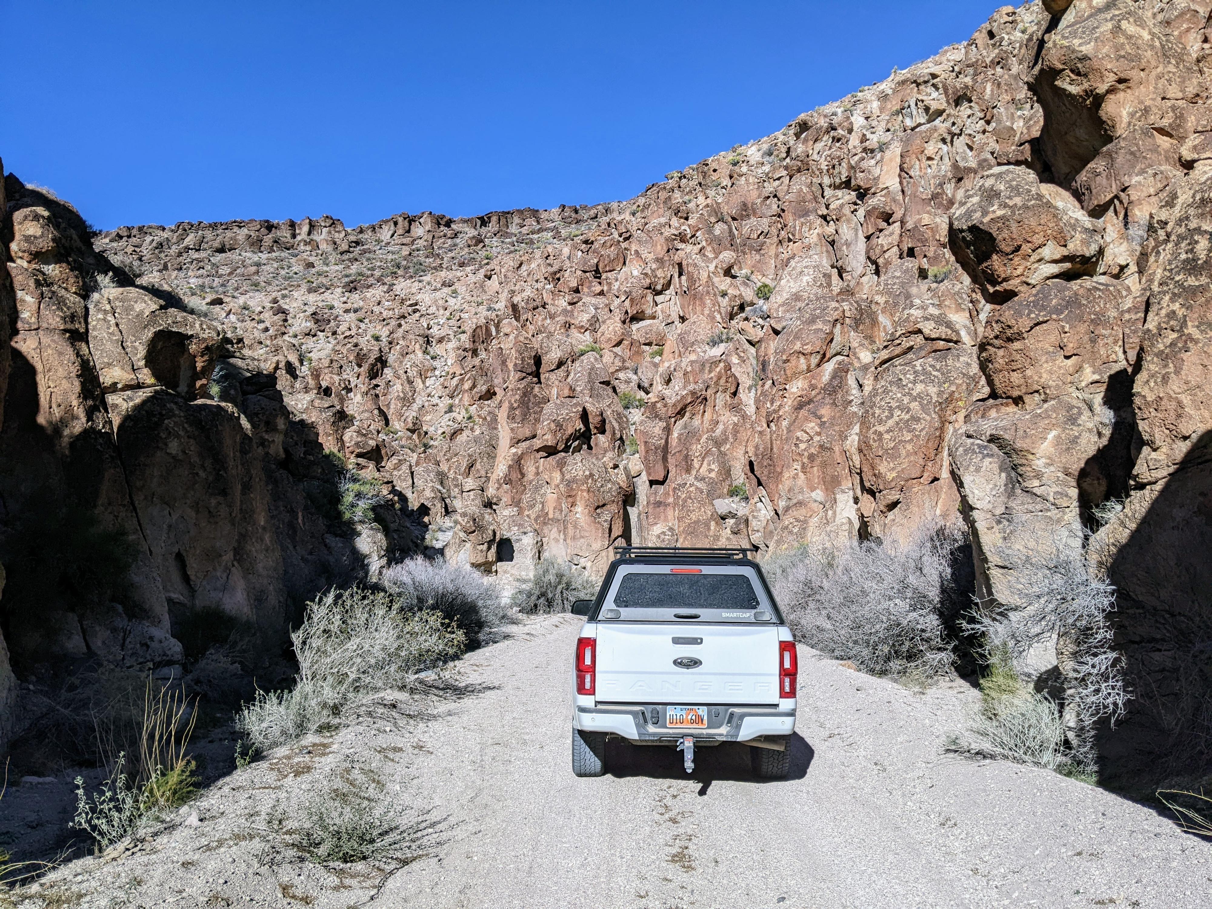
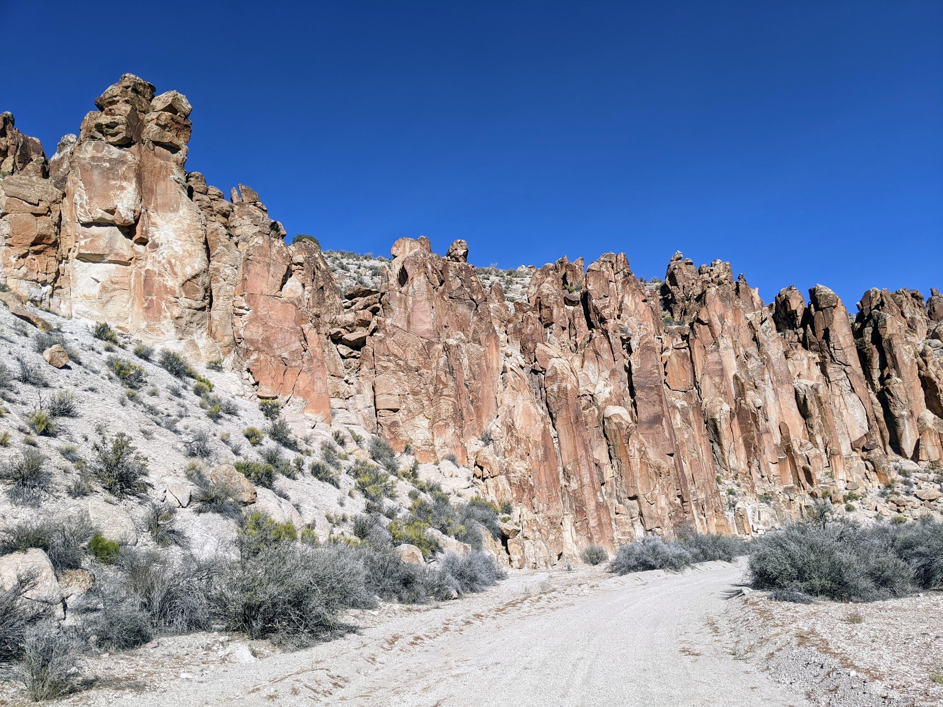
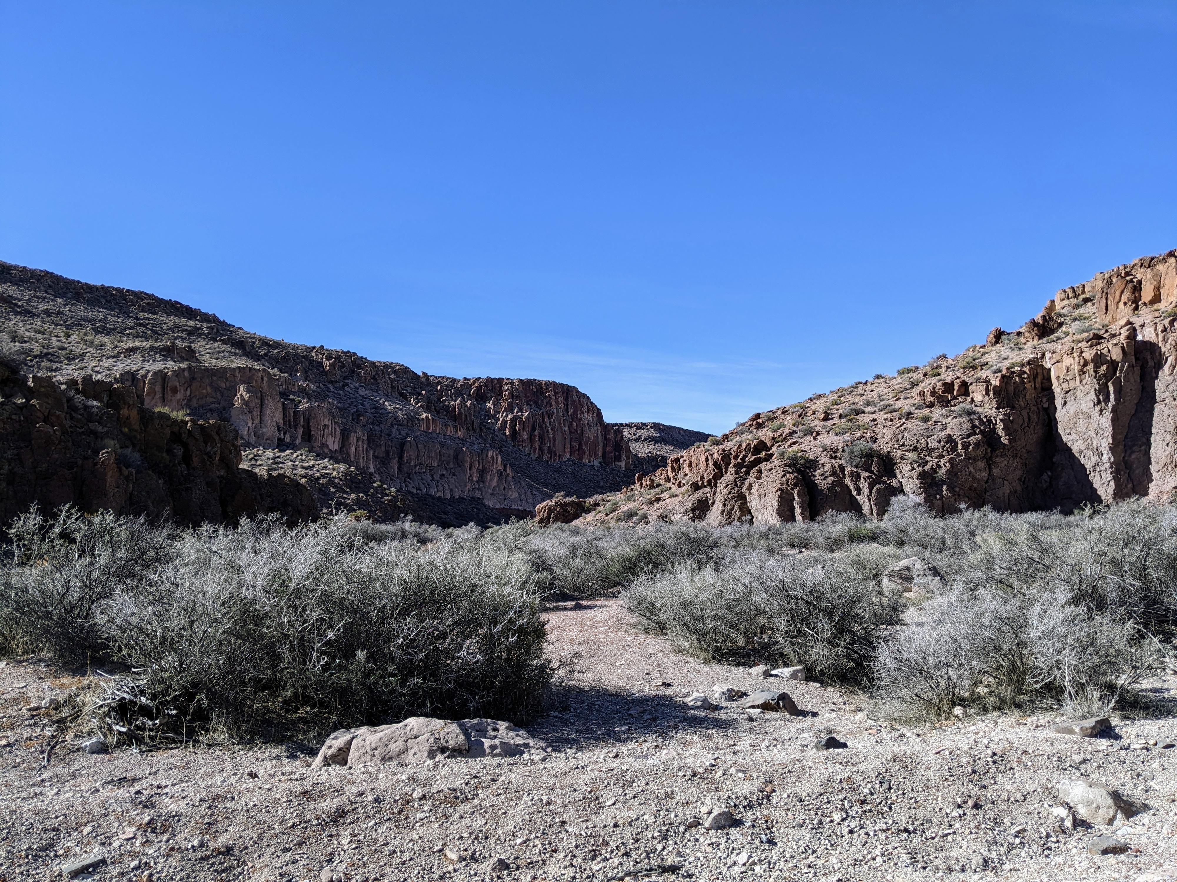
Valley of Faces is the name locals have given to a small canyon just south of the White River Narrows. The canyon cuts through a layer of volcanic rock, likely basalt. The walls of the canyon are made of up of a mix of vertical pillars and pocketed walls that look like, well, faces!

This is an outing that can be visited in a couple of ways. The road through the canyon is a graded dirt road suitable for most 2wd drive vehicles. On our trip, it surprised me at how good the road was. It was easily passable by most vehicles, though I would recommend medium clearance since it can be sandy. Driving through the canyon is the easiest way to see the canyon, though has the drawback of moving through at a relatively fast pace.

Many park their vehicle when the canyon narrows and walk or bike down the road. This has the advantage of a slower pace and seeing more of the sights. Either way you visit, it is quite a scenic canyon.

Face and columns in the Valley of Faces - White River Narrows

Face and columns in the Valley of Faces - White River Narrows

Getting There

The trailhead is reached off of NV-318 that connects Crystal Wash in the south to US-6 in the north. From Crystal Wash NV, go north on 318 for about 24 miles to where a dirt road leaves on the right (east) side of NV-318. There is a BLM kiosk just off the highway.

  • Leave Highway and reset your odometer. ( 11S 670931E 4187605N / 37°49'11"N 115°03'29"W )
  • 600 feet - Go right heading east toward the canyon on the good, graded road. ( 11S 671137E 4187612N / 37°49'12"N 115°03'20"W )
  • 0.5 miles - BLM Site 5 - Rock art site on the right (south) side of the road. ( 11S 671667E 4187386N / 37°49'04"N 115°02'59"W )
  • 2.3 miles - Jct - Right ( 11S 673930E 4186572N / 37°48'36"N 115°01'27"W )
  • 3.3 miles - Jct - Left up out of the wash. ( 11S 675125E 4185980N / 37°48'16"N 115°00'39"W )
  • 3.4 miles - Jct - Intersect a good dirt road heading north/south. This is the turn around spot, though heading north with re-join NV-318 in about 3.4 miles at the bottom end of the White River Narrows. ( 11S 675234E 4186047N / 37°48'18"N 115°00'34"W )
Looking up Valley of Faces - White River Narrows from the bottom.

Looking up Valley of Faces - White River Narrows from the bottom.

Route

As you pass through the canyon, besides the walls and faces, be on the lookout for rock art and animals. I was surprised on our visit to not see any rock art, though I have heard there is at least one panel in the canyon. We heard and saw many birds that make the pockets and holes of the canyon their home.

If driving the route, once you reach the junction at mile 3.4 that is a good dirt road going north/south you can go north to reach NV-318 in just over 3 miles at the bottom of the White River Narrows making a loop of the drive.


Videos

youtube thumbnail

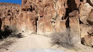
A drive through Valley of Faces Canyon

By: ryancornia

Maps

Printable Maps:

Leave Highway and reset your odometer.

11S 670931E 4187605N

37°49'11"N 115°03'29"W

600 feet - Go right

11S 671137E 4187612N

37°49'12"N 115°03'20"W

0.5 miles - BLM Site 5 - Rock art site on the right

11S 671667E 4187387N

37°49'04"N 115°02'59"W

2.3 miles - Jct - Right

11S 673930E 4186572N

37°48'36"N 115°01'27"W

3.3 miles - Jct - Left

11S 675125E 4185980N

37°48'16"N 115°00'39"W

3.4 miles - Jct - End of Valley of Faces Canyon

11S 675234E 4186047N

37°48'18"N 115°00'34"W

Comments

Want to make a comment? Login and let yourself be heard.