 Roadside Attraction
Bluebell Knoll
Roadside Attraction
Bluebell Knoll
Wayne County Highpoint
Overview
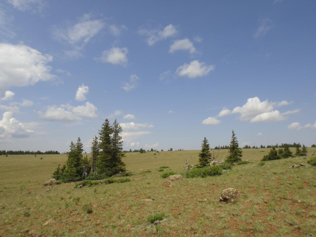
You don't hike Bluebell Knoll for the sheer challenge and exhilaration of summiting a lofty peak. As its name implies, it is a knoll, not a peak and is barely higher than the surrounding landscape. Bluebell Knoll is one of the easiest of the county high points in Utah. The area around Bluebell Knoll, the Aquarius Plateau, however, is incredibly scenic. It is also the highpoint for Wayne County, which is likely the reason most people visit.
Rising 6000' above the surrounding desert, the Aquarius Plateau is a stunningly high (11,000') flat plateau dotted with dozens of picturesque small ponds and lakes. It is the highest timbered plateau in North America. Rumor has it that when named, Boulder Mountain (aka the Aquarius Plateau) and Thousand Lake Mountain just to the north, had their names mistakenly switched when transcribed at the USGS office. It is easy to see why this area would be called Thousand Lake. The views of the surrounding (comparatively) lowlands and the plateau with its many small lakes are what make this trip. Many of the lakes are known for fishing, so bring a pole, this is a great area to camp, fish, and enjoy a few relaxing days. There is a campground en route to Bluebell Knoll; however I would highly recommend just primitive camping on top of the plateau near any of the small lakes that strikes your fancy. Minimum impact camping techniques are required, and limit travel to existing routes.

Getting There
Access is from Bicknell, Ut, on the north side of the Aquarius:
- Go east out of Bicknell on highway 24. 2.5 miles from town, turn right on Bicknell Cr, this is just across from the Great Western Trailhead on the left.
- Drive 3.8 miles from highway 24 on the paved county road to a junction. Go right, on the dirt road to Boulder Top. Reset Odometer
- 0.7 miles, go left on Forest Service Road 178
- 1.5 - enter National Forest
- 7.6 - Go left
- 12.6 - Go left
- 12.8 - Gate, closed in the winter, until mid-June.
- 14.2 - Left
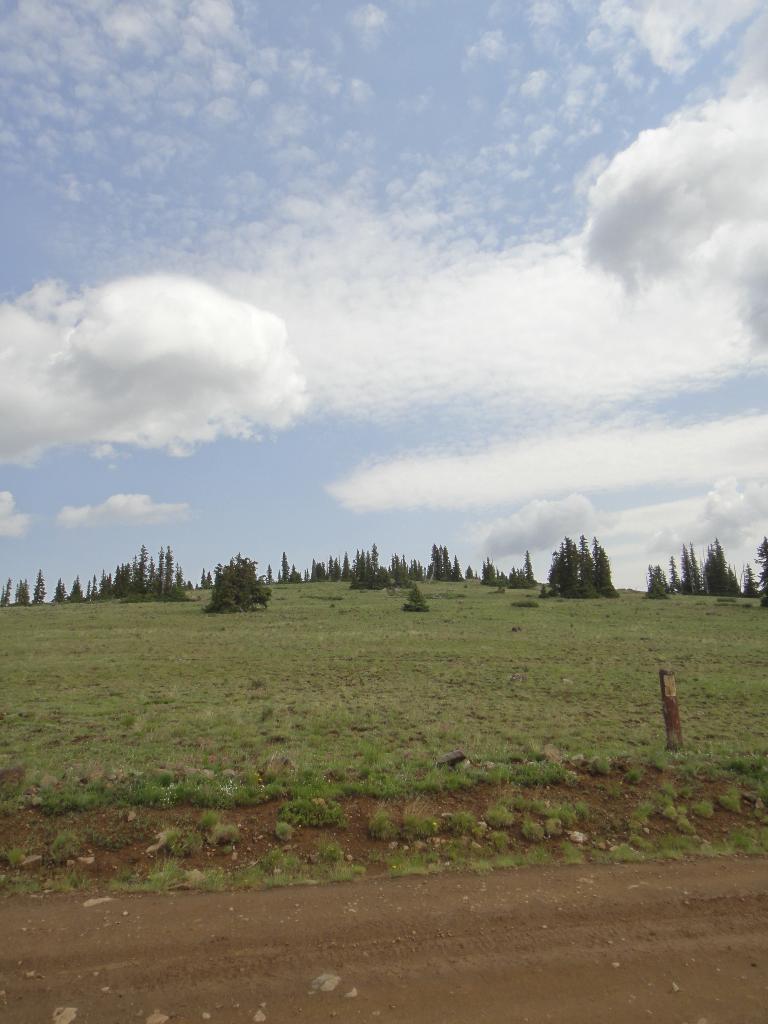
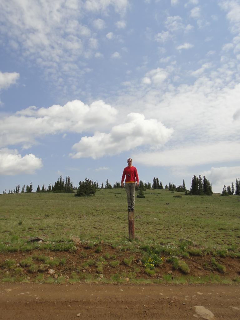
- 16.0 - Trailhead. An old sign on the left of the road here is now just a post. If you reach a T-Junction, you've gone to far. Backtrack about a 1/4 mile.
Route Description
Summit: 3449 m ( 11316 ft. )
Trailhead: 3425 m ( 11237 ft. )
Not much to the hike. From the trailhead, wander north to the top of the small knoll and a summit cairn.
Maps

12S 455983E 4223348N
38°09'25"N 111°30'09"W
12S 456256E 4223617N
38°09'34"N 111°29'58"W