 Hiking
Rock Canyon Rim
Hiking
Rock Canyon Rim
Bicknell
Overview
I am always amazed by the determination and vision of the first cattle ranchers in southern Utah. They carved out paths that required an incredible amount of work and vision to become passable by horse and livestock. From a distance it is easy to pause and think "no way that is passable," yet a trail was created and used!
This hike follows the Great Western Trail for a short distance, then an old stock trail that is now an official forest service trail. The route climbs from the lowlands near Bicknell Bottoms to the rim of Rock Canyon. The views along the way are excellent. Usage is low, making this a good hike with easy access when you want to get away from crowds.
Getting There
The trailhead is off of UT-24 at milepost 63.1 on the north side of the road. This is about 3 miles east of the town of Bicknell or 5 miles west of the town of Torrey. There is a large dirt parking area and information sign at the trailhead. The trailhead is part of the Great Western Trail.
Route Description
From the trailhead, follow the Great Western Trail. This section is an ATV trail and climbs up to the top of the mesa with a few sweeping switchbacks.
Once on top, continue along the flats. About 1.25 miles from the trailhead, the route nears the cliffs. Here the Great Western Trail goes east. Look for a trail to the northwest. As of 2018, this had a small marker.
Follow the foot trail as it quickly and steeply begins ascending to the north. Once up the first steep layer, the angle eases, and the trail begins a more gentle ascent. Graffiti Rock, the obvious boulder on the left of the path with graffiti makes an excellent spot to catch your breath.
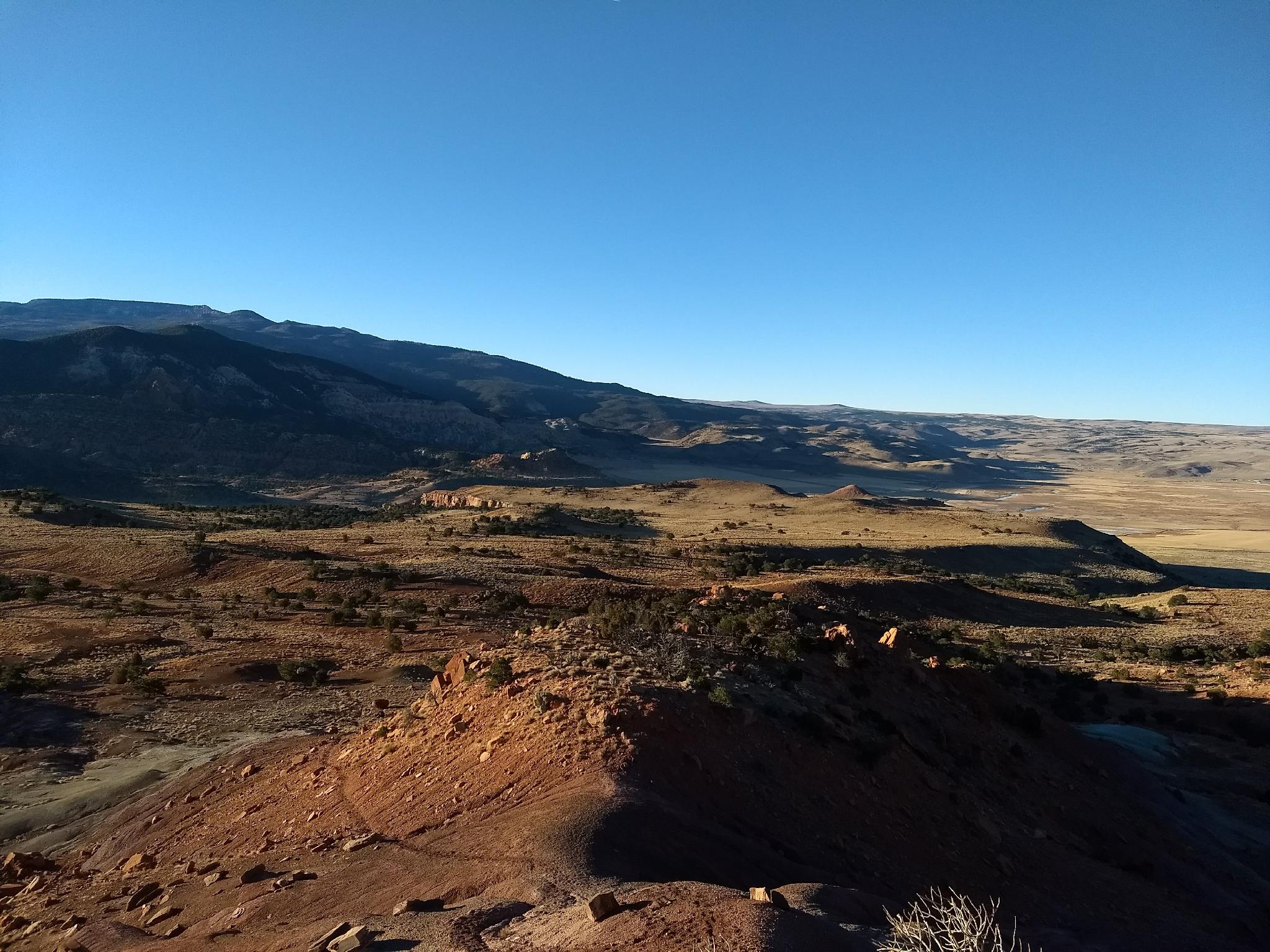
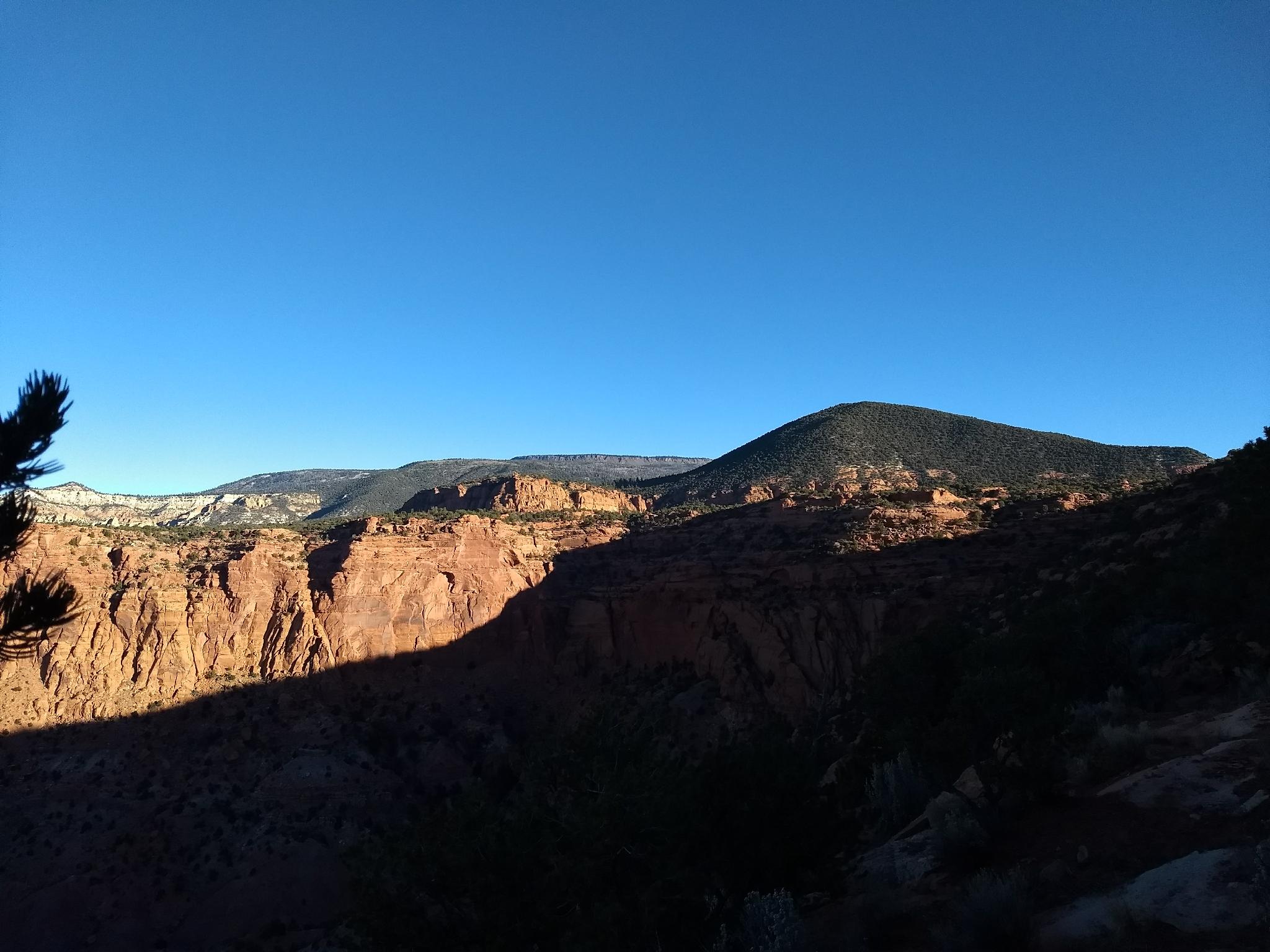
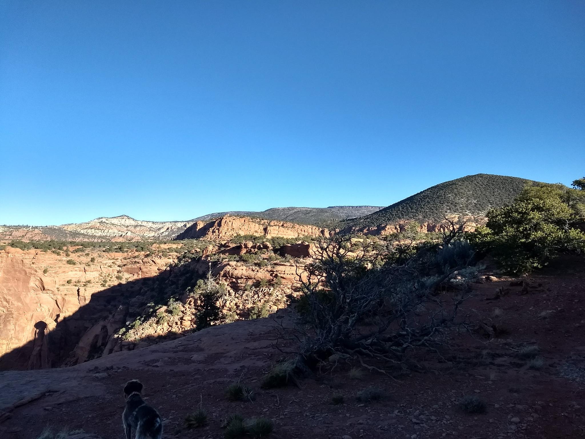
From Graffiti Rock, the trail continues a moderate ascent, working around boulders and up through cliff bands to the rim. The views of Bicknell Bottoms and Boulder Mountain to the south are excellent here. Once on top, the trail continues north through juniper trees and seemingly endless fields of cacti.
About 1/3 of a mile after reaching the top, the trail fades at a large cairn. In theory, the trail can be followed all the way to Sunglow Campground, but the faintness and plethora of cacti convinced wonder dog and I think was a good turn around.
Maps

12S 454729E 4240390N
38°18'38"N 111°31'04"W
12S 455825E 4241270N
38°19'06"N 111°30'19"W
12S 455932E 4242154N
38°19'35"N 111°30'15"W
12S 456572E 4242960N
38°20'01"N 111°29'49"W
12S 456562E 4243401N
38°20'16"N 111°29'49"W