Monument Peak | Carbon County Highpoint

Roadside Attraction Monument Peak - Carbon County Highpoint Roadside Attraction Monument Peak

Carbon County Highpoint

Overview

RATING: Drive Up
MAPS: Scofield, UT

Sun

Sunny, with a high near 64. West southwest wind around 15 mph.

64 | 52

Mon

Sunny, with a high near 64.

64 | 50

Tue

Sunny, with a high near 65.

65 | 51

Wed

Sunny, with a high near 67.

67 | 52

Thu

Sunny, with a high near 70.

70 | 54

View Full Weather Details
SEASON: Spring, Summer, Fall
NOTES: The last little bit (less than 1/2 mile) is a little rough and may require high clearance, though the rest of the road is good for most vehicles.

Sun

Sunny, with a high near 64. West southwest wind around 15 mph.

64 | 52

Mon

Sunny, with a high near 64.

64 | 50

Tue

Sunny, with a high near 65.

65 | 51

Wed

Sunny, with a high near 67.

67 | 52

Thu

Sunny, with a high near 70.

70 | 54

View Full Weather Details
Heading to monument peak at sunrise.

Heading to monument peak at sunrise.

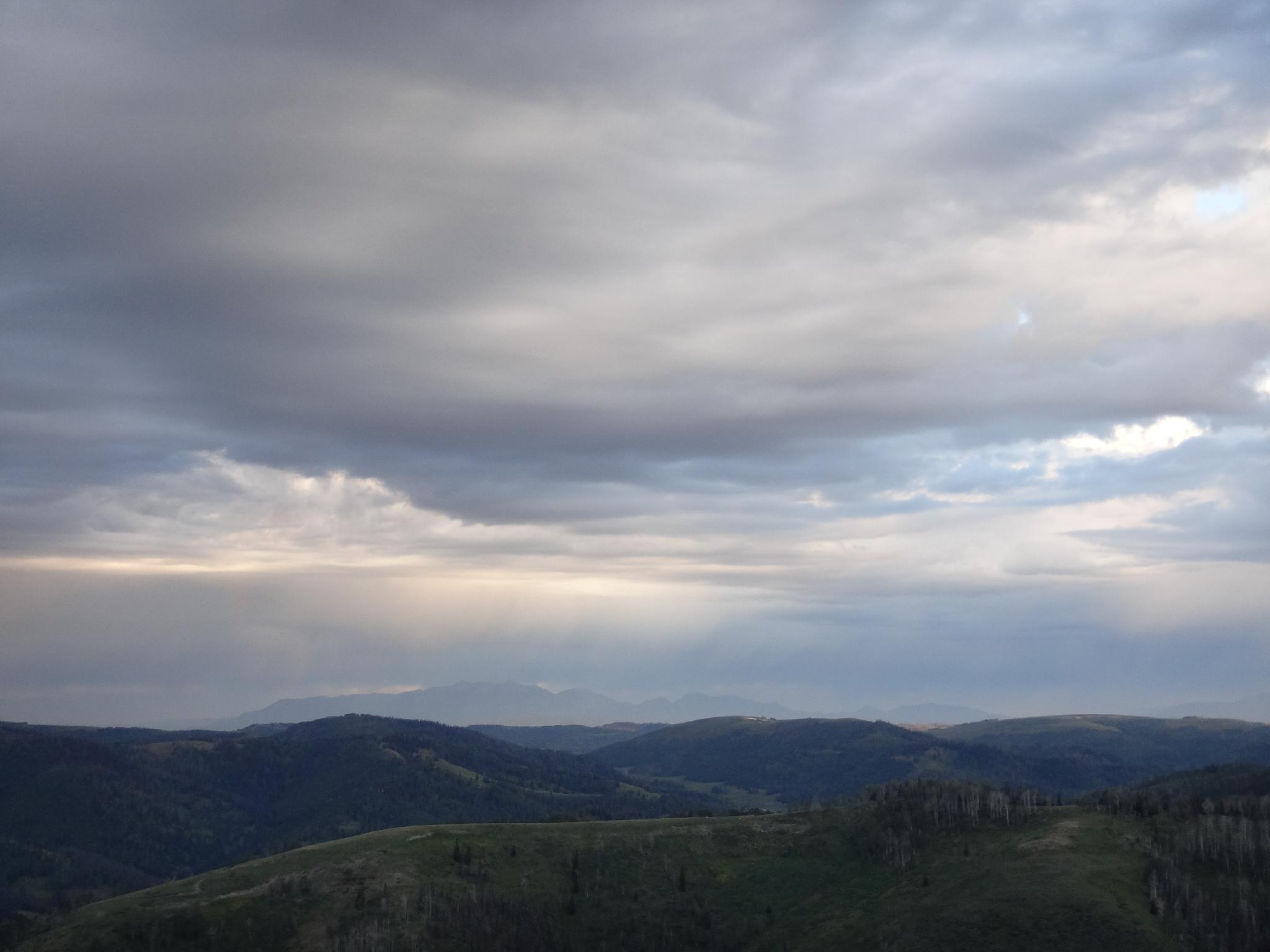
One of the easiest county highpoints in Utah, Monument Peak makes a great side trip if in the area. The peak is the highest point in Carbon County and very near South Tent Mountain and East Mountain, the respective highpoints for Emery and Sanpete counties. It is easy to bag on 3 highpoints in a weekend, and the motivated can do all three in a single day. The three peaks are part of the Wasatch Plateau.

Nebo in the stormy distance from Monument Peak

Nebo in the stormy distance from Monument Peak

Getting There

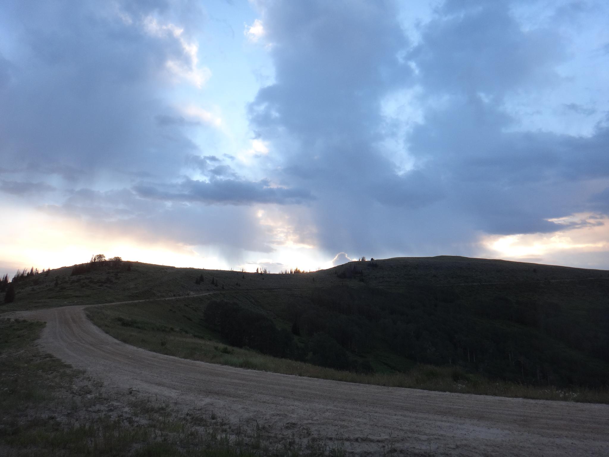
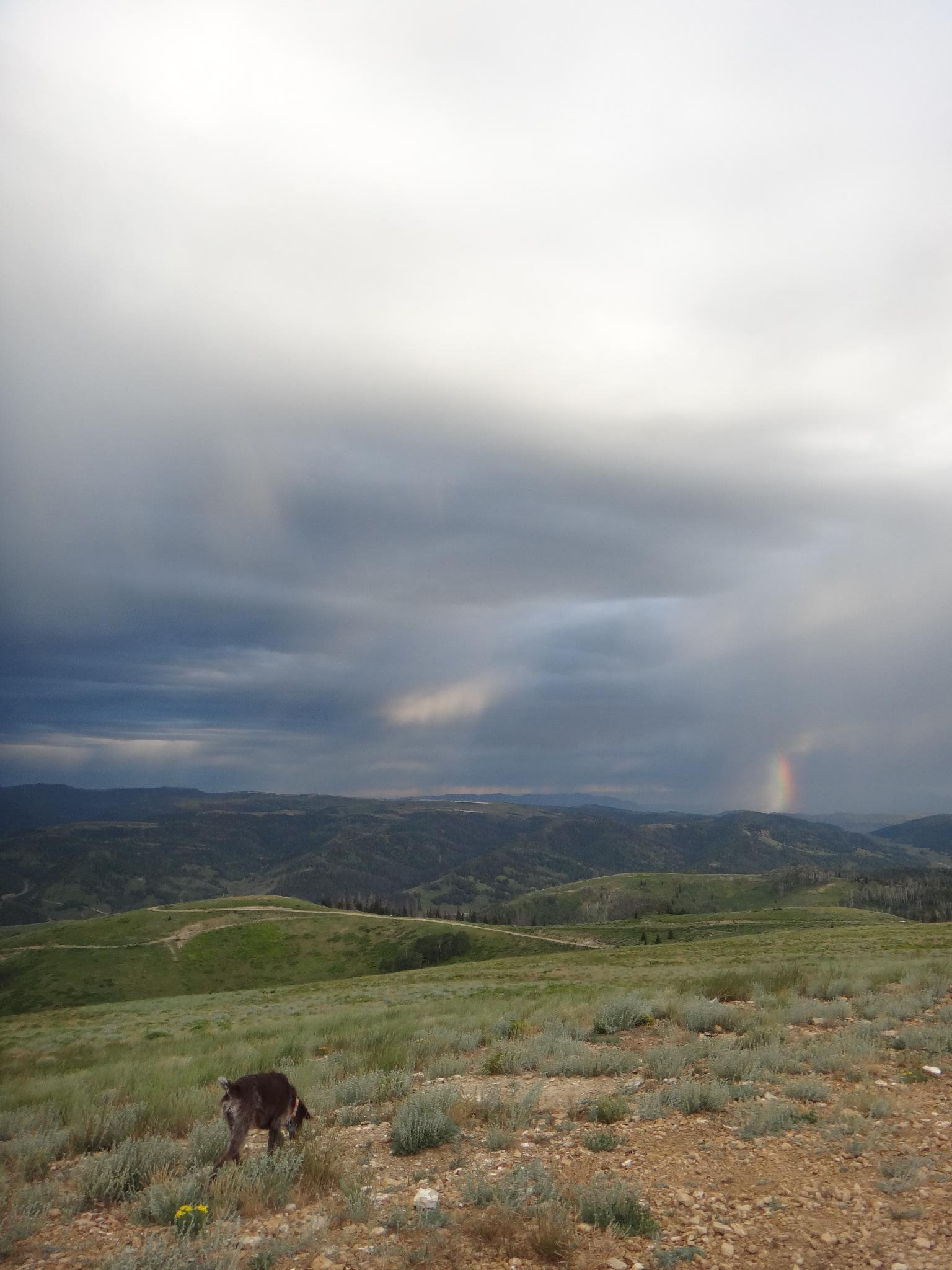
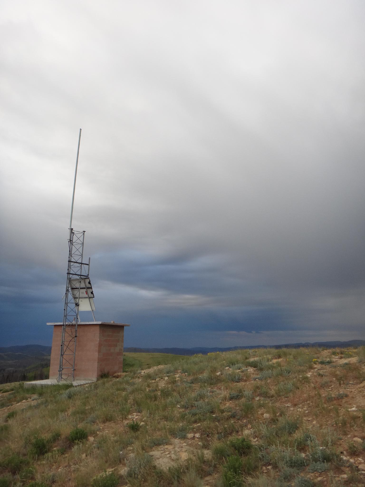
From Fairview, UT, head east on state road UT-31. Follow this about 8.4 miles to its junction with state road UT-264. Go left onto UT-264, then stay right too stay on 264. 10.6 miles from the UT-31/264 junction after the road crests a large hill, go right on Forest Road 018. Follow this good dirt road 7.7 miles to a small side road on the left that leads to the summit and small shack in 0.5 miles. There are a few decent camping spots along the road to the peak.

Monument Peak on a cloudy day.

Monument Peak on a cloudy day.

Small building at the summit

Small building at the summit

Route

Summit: 3186 m ( 10453 ft. )
Trailhead: 3186 m ( 10453 ft. )

Your there!

Note: The big mountain in the distance to the west is Mt. Nebo, also a county highpoint.


Photos

Maps

Printable Maps:
Summit

12S 484884mE 4384963mN

N39° 36' 51" W111° 10' 34"

Comments

Want to make a comment? Login and let yourself be heard.