Yellow Cat |

Posion Strip Mine Ruins

Roadside Attraction Yellow Cat - Posion Strip Mine Ruins Roadside Attraction Yellow Cat

Posion Strip Mine Ruins

Overview

RATING: Easy Walking
LENGTH: 1+ hours
MAPS: Mollie Hogans, UT

Tue

Sunny, with a high near 63. South southeast wind 5 to 10 mph.

63 | 35

Wed

Sunny, with a high near 67. Southwest wind 5 to 10 mph.

67 | 37

Thu

Sunny, with a high near 69.

69 | 37

Fri

Mostly sunny, with a high near 70.

70 | 41

Sat

Mostly sunny, with a high near 70.

70 | 42

View Full Weather Details
SEASON: Any

Tue

Sunny, with a high near 63. South southeast wind 5 to 10 mph.

63 | 35

Wed

Sunny, with a high near 67. Southwest wind 5 to 10 mph.

67 | 37

Thu

Sunny, with a high near 69.

69 | 37

Fri

Mostly sunny, with a high near 70.

70 | 41

Sat

Mostly sunny, with a high near 70.

70 | 42

View Full Weather Details
Old Bus at Poison Strip

Old Bus at Poison Strip

The Poison Strip/Yellow Cat uranium mining area is a unique place to get a view into the past. Uranium mining began here in the 1940's but took off in the mid-1950s. By the early 1960's, however, the demand dwindled as the market had been oversupplied. Although a relatively brief time in the history of the area, Uranium mining has left a lasting impression, and it is fascinating to visit the area and see what remains.

Beware, entering any mine extremely dangerous! Do not enter any of the mines. All that I visited had been sealed, but other open ones may still dot the area.
Closed up mine at Poison Strip

Closed up mine at Poison Strip

Getting There

To reach the Lost Spring area, you will need to travel east on I-70 (~ 30 miles north of Moab). Go east on I-70 from Crescent Junction 11 miles to exit 193. The exit is signed Yellow Cat Exit.

  • Reset your odometer at the cattle guard, and head south on the good dirt road. It heads in a remarkably straight line toward the La Sal mountains. ( 12S 620052mE 4311148mN / N38° 56' 28" W109° 36' 53" )
  • 6.1 miles - Y - Stay Left ( 12S 625994mE 4301957mN / N38° 51' 27" W109° 32' 52" )
  • 7.7 miles - Another Y, stay left again ( 12S 627058mE 4301036mN / N38° 50' 56" W109° 32' 09" )
  • 8.2 miles - An old wooden two story mining ruin on the left. This is the stopping point. ( 12S 627707mE 4300932mN / N38° 50' 53" W109° 31' 42" )
Ruins at Yellow Cat

Ruins at Yellow Cat

Mining ruins at Yellow Cat near Arches National Park

Mining ruins at Yellow Cat near Arches National Park

Route

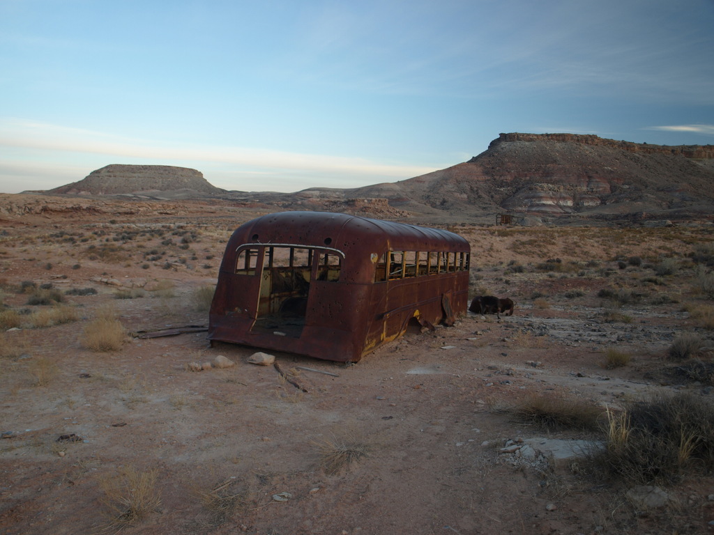
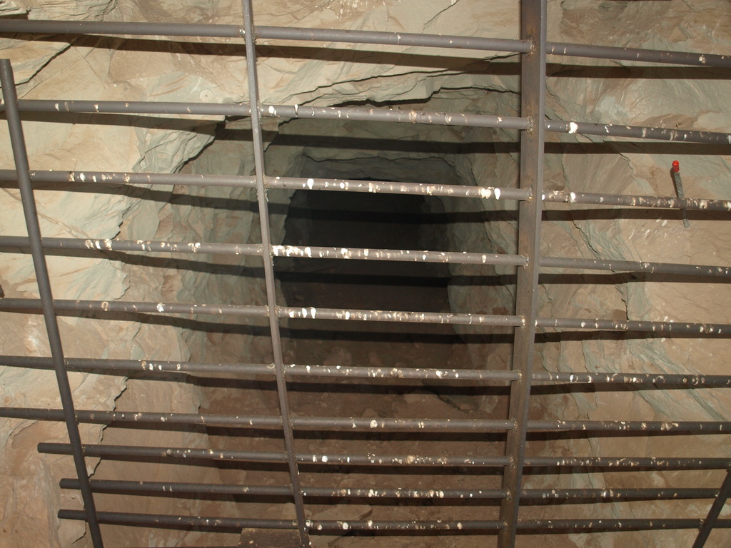
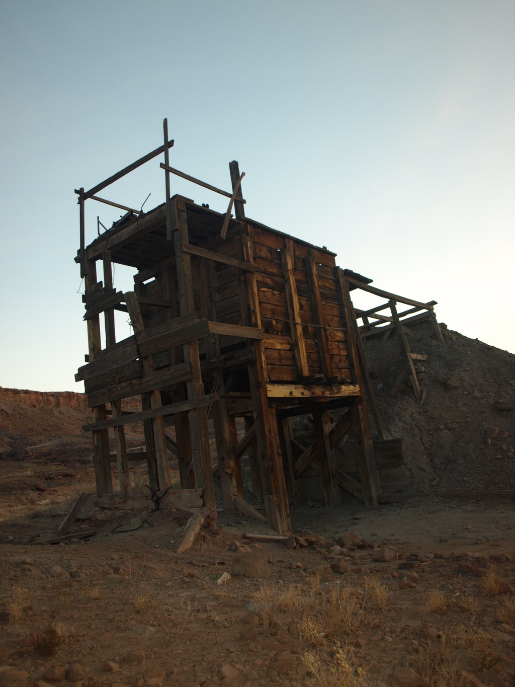
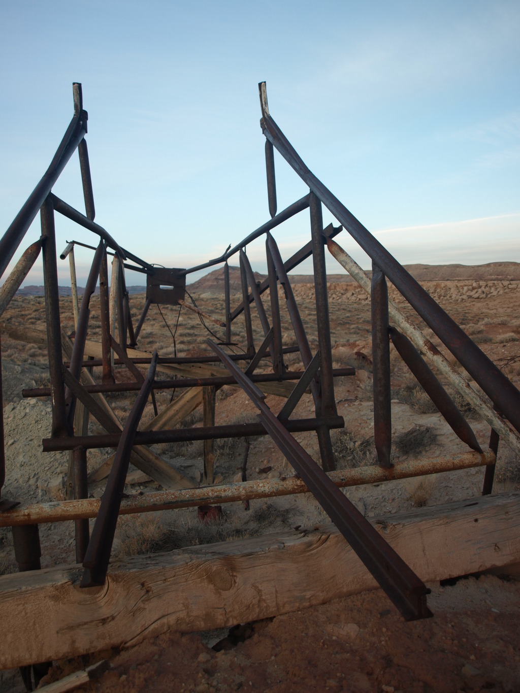
From the wooden structure, wander the roads south. An old bus is a good landmark to head for. Look for piles of dirt in the area, as they usually signify mines. The mines themselves are dug into the sandstone layer just below your feet. It is amazing how many openings, and how close together they are in the area. As is evident by signs at a few of the mines, the claims are still being kept current in case mining in the area ever becomes profitable again.

The area west of the wooded structure, where the road turns north by the pond you passed on the way in, also has an interesting old car and several ruins to visit.


Photos

Maps

Mine

12S 627707mE 4300932mN

N38° 50' 53" W109° 31' 42"

Comments

Want to make a comment? Login and let yourself be heard.