 Hiking
Bonnie Lake
Hiking
Bonnie Lake
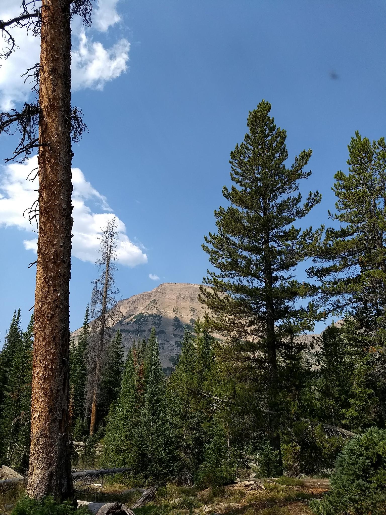
Western Uintas
Overview
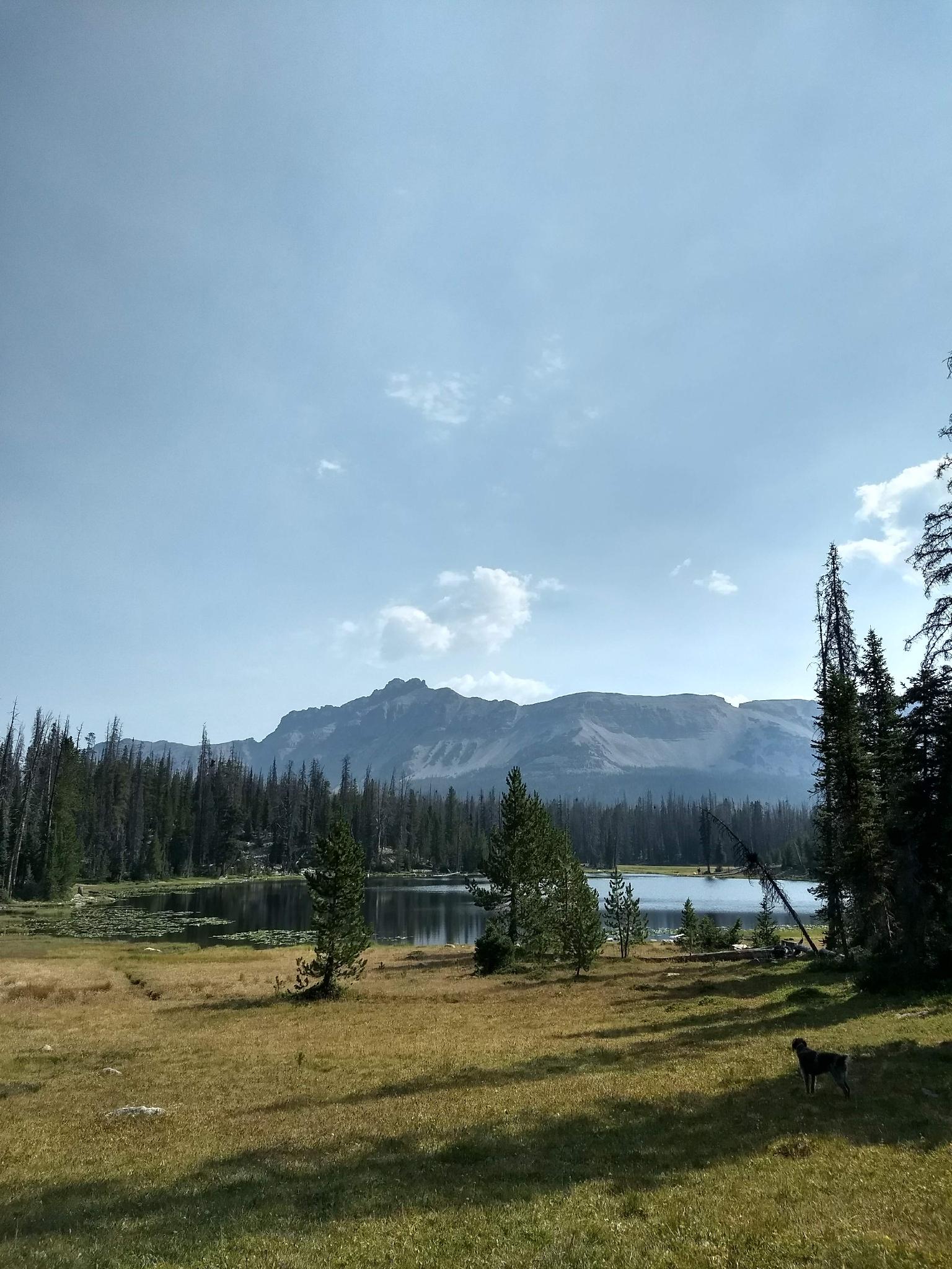
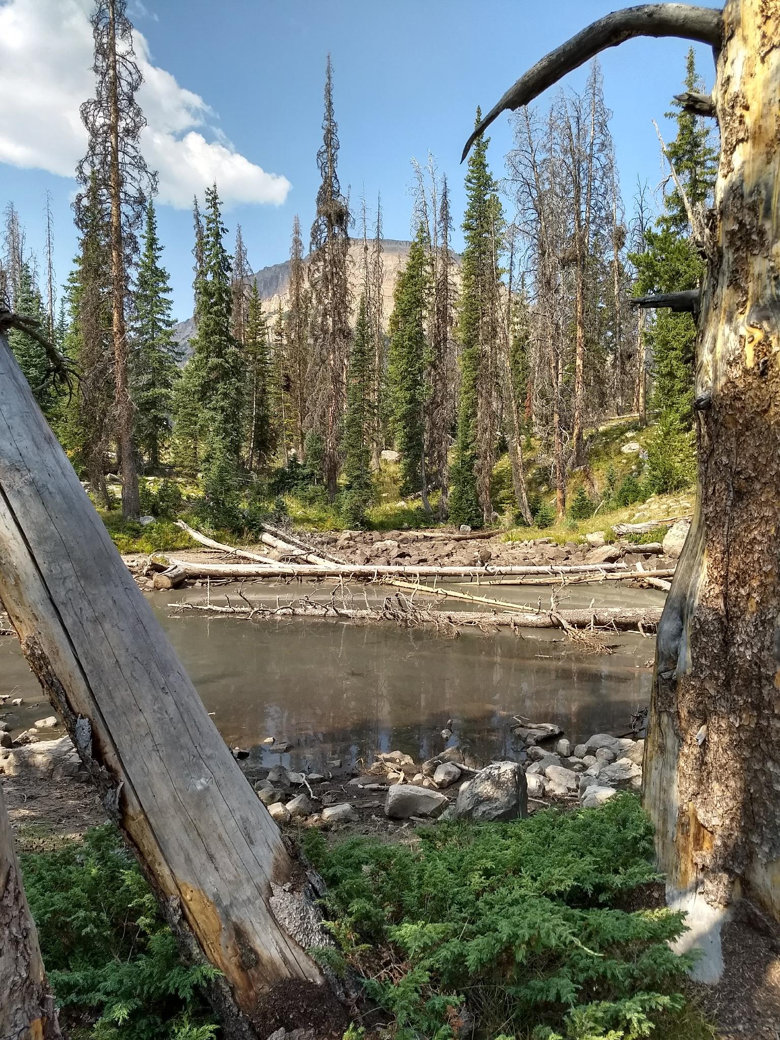
Bonnie Lake is often reached via a short few minutes walk from Mirror Lake Highway. The formal trail to the lake is part of the Highline Trail and starts at Mirror Lake proper. The lake is scenic but can be a bit overwhelmed with road noise.
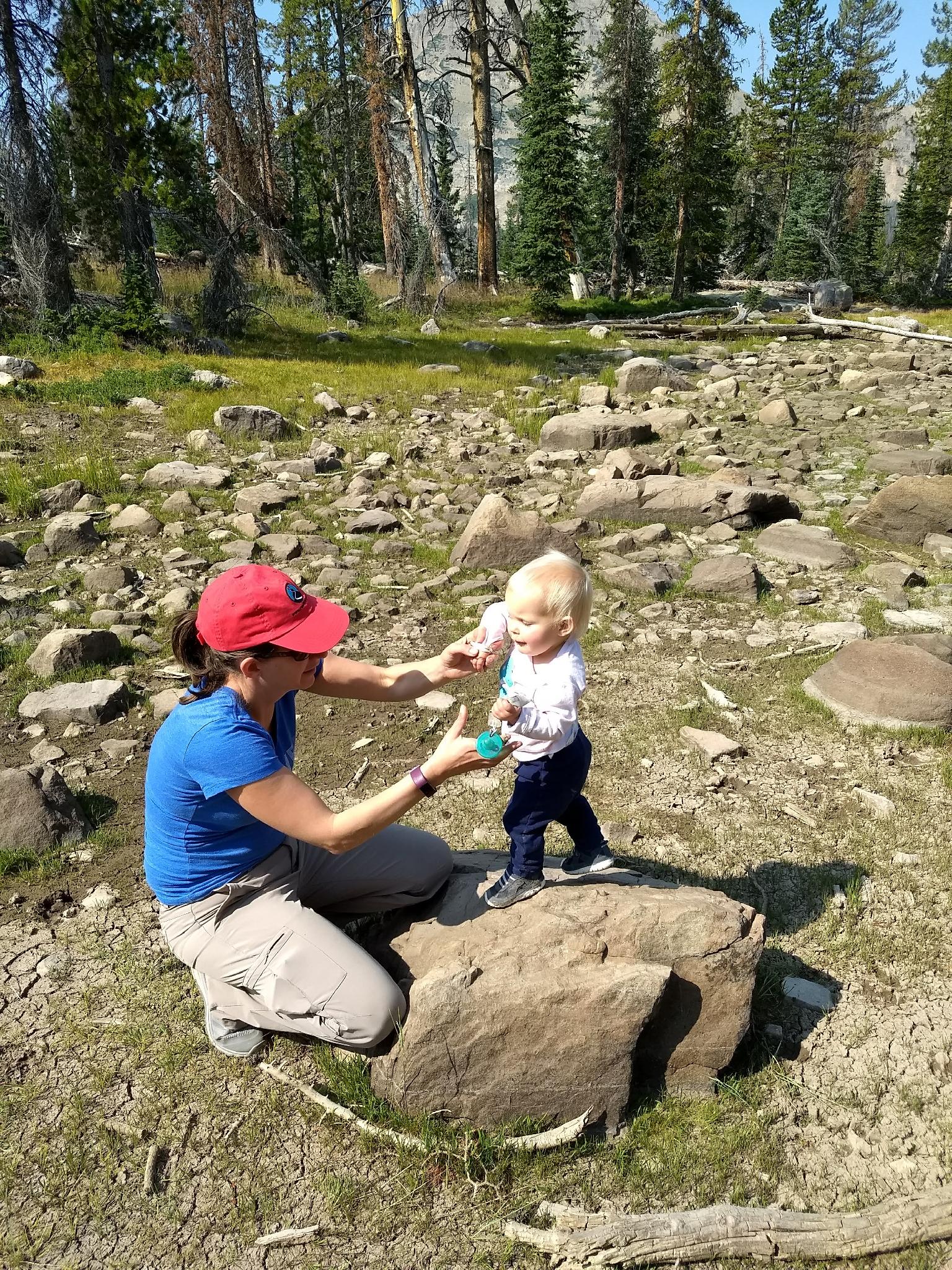
I recommend this hike, however, if you are camping in the Mirror Lake Campground and looking for a shorter outing without needing to move the car. The distance and little elevation gain make it an amble suitable for younger children.
Getting There
The trailhead is off of the Mirror Lake Highway at milepost 31.3. This is 31.3 miles out of Kamas, UT on UT-150. This is also about 46 miles south of Evanston Wy on the Mirror Lake Highway.
A well signed paved side road leads down to the lake, day use are, trailhead, and campground. The trailhead is signed and on the south side of the campground.
Route Description
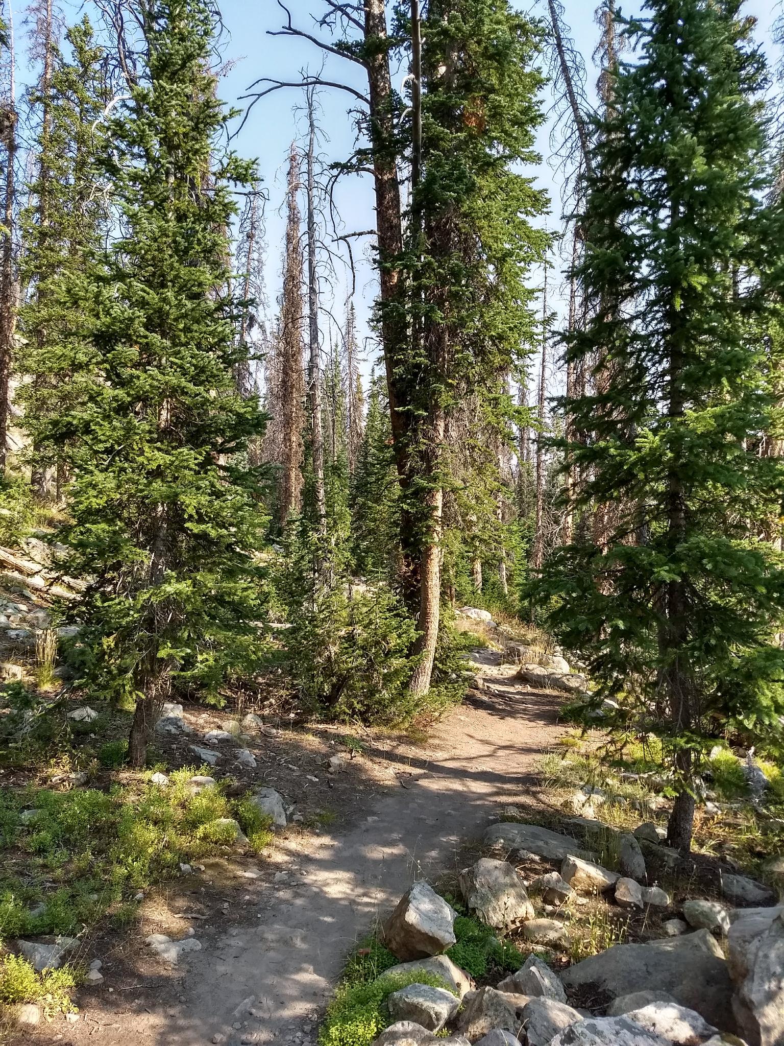
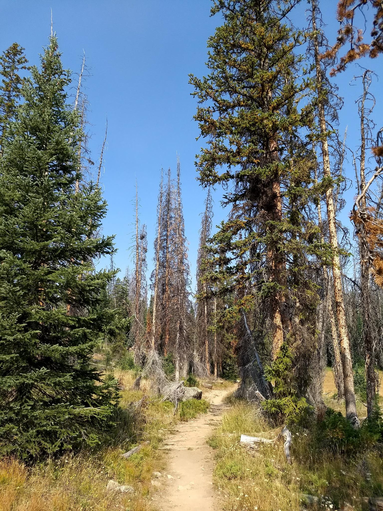
From the Mirror Lake Trailhead, follow the Highline Trail north. Be sure you are on the trail signed Highline Trail that heads north. The other path that leaves the trailhead parking area heads south to the Duchesne River and decidedly NOT in the direction of Bonnie Lake!
The trail ambles at a gradual uphill for about 0.5 miles to a junction. Left goes back to the campground in just a few short minutes. Stay right.
The trail to Bonnie Lake continues uphill briefly, then flattens out and passes a small pond that makes a great break spot for the youngsters.
Bonnie Lake is another 10 minutes down the trail from the pond. Return the same way.
Maps

12T 509515E 4505554N
40°42'03"N 110°53'15"W
12T 509844E 4505473N
40°42'00"N 110°53'00"W
12T 509894E 4506177N
40°42'23"N 110°52'58"W
12T 510334E 4506577N
40°42'36"N 110°52'40"W