 Hiking
Eccentric BM County Highpoint
Hiking
Eccentric BM County Highpoint
Uintas
Overview
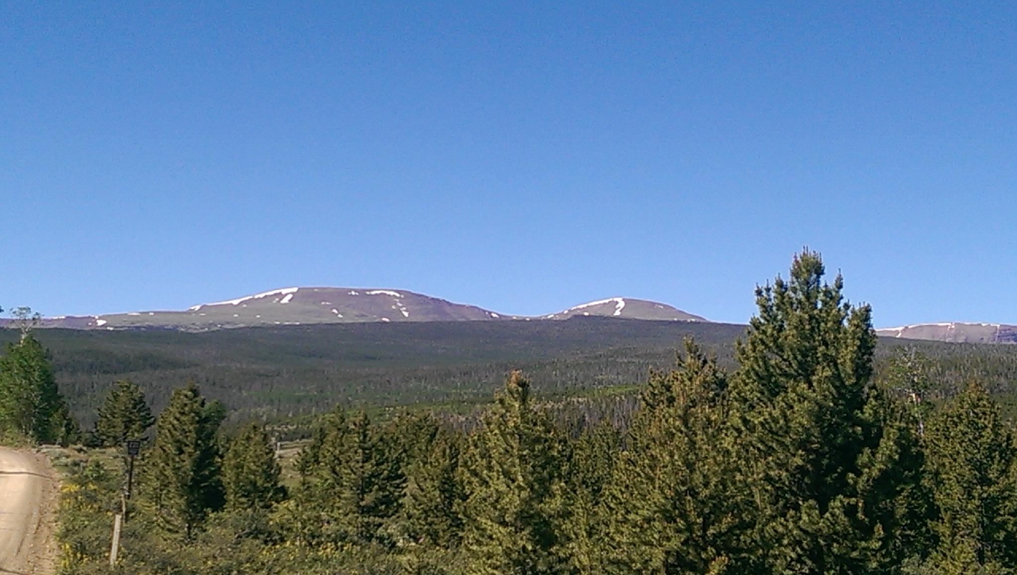
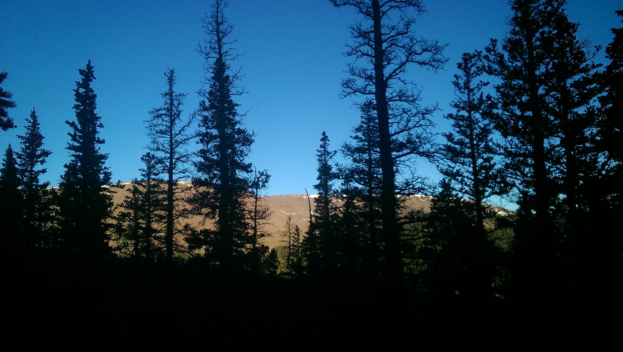
Eccentric BM is the highpoint of both Daggett and Uintah counties. The highpoint itself is not particularly spectacular, but the hike in and views along the way make it worthwhile. The majority of visitors are likely county highpoint tickers. As county highpoints go, this one is moderate. The route also bags the peak unofficially known as Dagget Peak en route. Be sure to get an early start, like all Uinta mountains peaks, afternoon thunderstorms are frequent and you don't want to get caught above treeline in one.
Reaching the trailhead is generally possible in most vehicles, though quite a bit of it is dirt and can be a bit rutted in spots.
Getting There
From Mountain View, Wyoming, travel east on state road 414 toward Lonetree for about 25 miles to mile post 132.5. This is several miles past the small town of Lonetree. Reset your odometer as you leave the highway and turn onto Sweetwater County Road #1 on the right. (Signed for Spirit Lake).
- 2.2 miles - Utah State Line, the road becomes Dagget County Road #1
- 7.0 miles - Gate
- 13.2 miles - Junction, go right toward Spirit Lake. Eccentric BM is visible from this junction almost directly due south.
- 19.0 miles - Spirit Lake on the right.
- 19.5 miles - Campground, stay left toward the lodge.
- 19.7 miles - Trailhead on the left, just before crossing a bridge and reaching Spirit Lake Lodge. This is the Spirit - Tamarack Trail #24
Route Description
Summit: 3742 m ( 12277 ft. )
Trailhead: 3113 m ( 10214 ft. )
From the trailhead, follow the trail a couple of minutes to the first log bridge crossing the small stream. Leave the trail here before crossing the stream and follow it up as it meanders to a small pond. From the pond, go south through a grassy meadow for about 5 minutes until the intermittent stream comes down a gully on the left. The gully is very wooded at the bottom, but becomes easier to follow shortly.
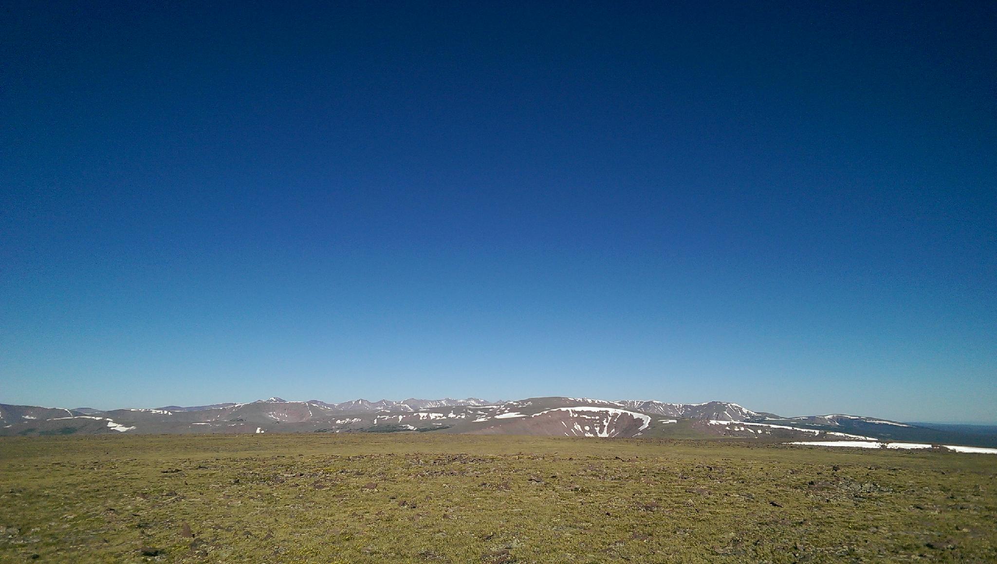
Once above treeline at about 11,000', it is easy navigation south east up to the summit of Daggett Peak. The summit of Daggett Peak offers great views south to Chepeta Lake, north east to Daggett Lake, and north west to Spirit Lake area and the lakes nearby. Continue south east down the ridge, across the saddle, and up the very rounded hill to the east. Eccentric BM and Chepeta BM are both on top, surrounded by large cairns a short distance apart.
Most will want to return the same way, however those with energy may want to follow the ridgeline west from Daggett Peak and descent down the Fish Lake Trail.
Maps

12T 584101E 4521113N
40°50'12"N 110°00'09"W
12T 584239E 4520312N
40°49'46"N 110°00'03"W
12T 586517E 4518119N
40°48'34"N 109°58'27"W
12T 586641E 4518172N
40°48'36"N 109°58'22"W