 Hiking
Kings Peak
Hiking
Kings Peak
Highest Point in Utah
Overview
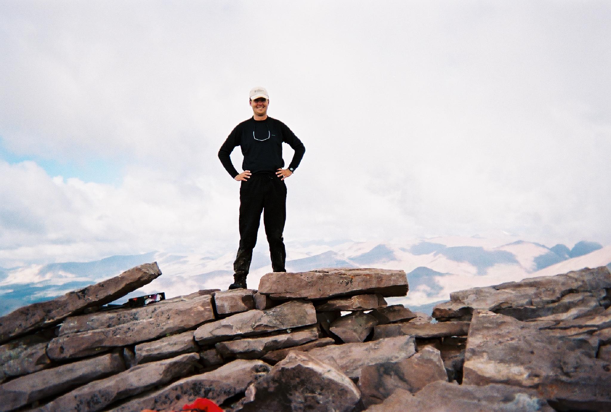
If your a peak bagger in Utah, you are likely well aware of Kings Peak. At 13,528, is the highest peak in Utah, the highest peak in the Uinta Mountains, and the highest point in Duchesne County. This is a stunning peak that requires a fair bit of effort to reach the summit of. Though it can be done in a day, the 25-30 mile round trip is more than most people want to bite off, and is generally done as a 2-3 day backpack.
Because it is the Utah highpoint, it is also very heavily used. There are often large groups at Dollar Lake and surrounding areas. Good, isolated camping can be found if your willing to wander off the main trail a bit, but practice minimum impact camping. Many groups have been thwarted by afternoon thunderstorms on their summit bids. Start early with a good forecast to insure success.
The peak is named for Clarence King, the first director of the United States Geological Survey, who had done surveys in the area.
A few tips on doing the peak in a day:
- Start early. Afternoon thunderstorms are very common. When I did it in a day, I left the trailhead about 4AM, reaching the summit about 10AM, just as clouds were starting to build.
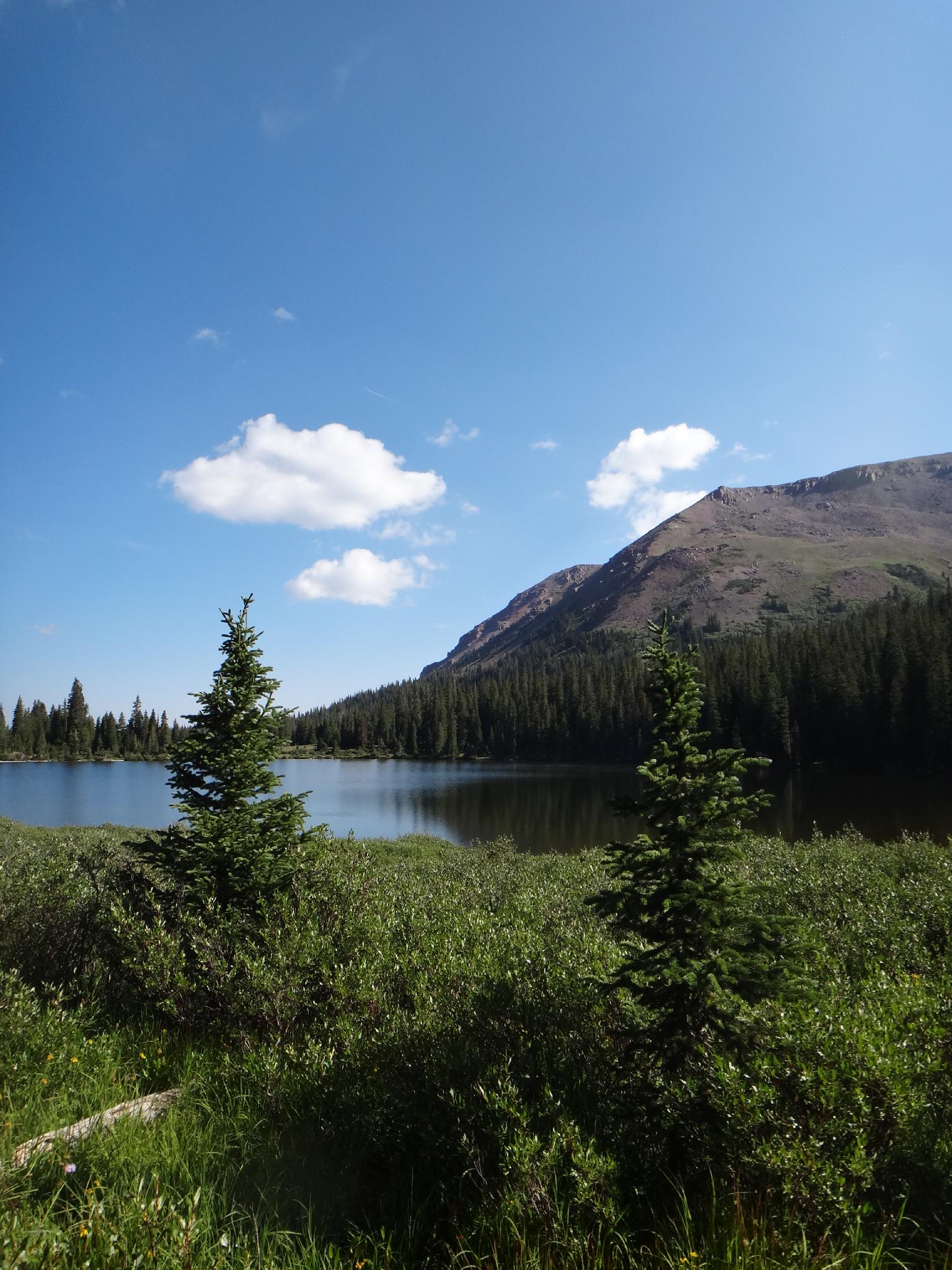
- Water is easily available at Elkhorn Crossing and Dollar Lake. Fill up at Dollar Lake before heading off to the summit.
- Navigation is easy by headlamp to Gunsight Pass. Just be sure to stay on the main trail at Elkhorn Crossing. I lost a bit of time there trying to make sure I was on the main trail. Finding the shortcut from Gunsight Pass in the dark would be hard, best to reach the pass after sunrise.
Getting There
From Mountain View Wyoming, go south out of town on WY-410 toward Robertson. At 6.4 miles, WY-410 makes a hard right hand turn. Instead, continue straight on county road 283, resetting your odometer. The county road is signed forest access, and is a good, well graded dirt road. It crosses a wide open flat before climbing and entering the forest.
Stay on the good road for 12.1 miles from WY-410 to a signed junction. Go left, toward Henry's Fork. Follow this well graded road 7.0 miles to where it makes a U-bend to the left. Henry's Fork Campground/Trailhead is signed (straight ahead, instead of making the bend), and 3.4 miles at the end of the road.
There is a small campground at the trailhead with a pit toilet (no water), however there are many good primitive campsites nearby that will likely be quieter.
Route Description
Summit: 4123 m ( 13527 ft. )
Trailhead: 2878 m ( 9443 ft. )
Trailhead to Elkhorn Crossing (~5.25 miles / about 2 hours)
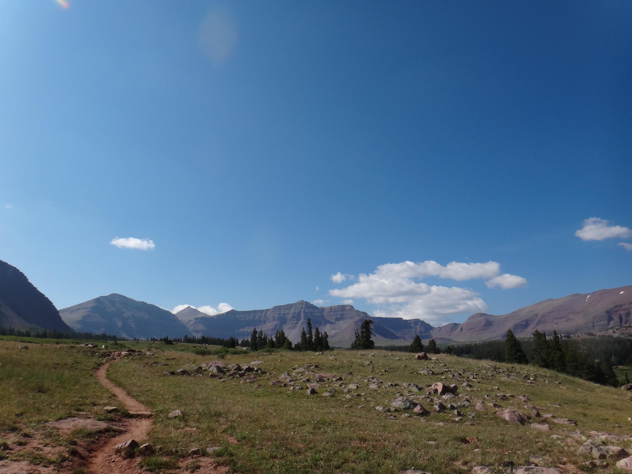
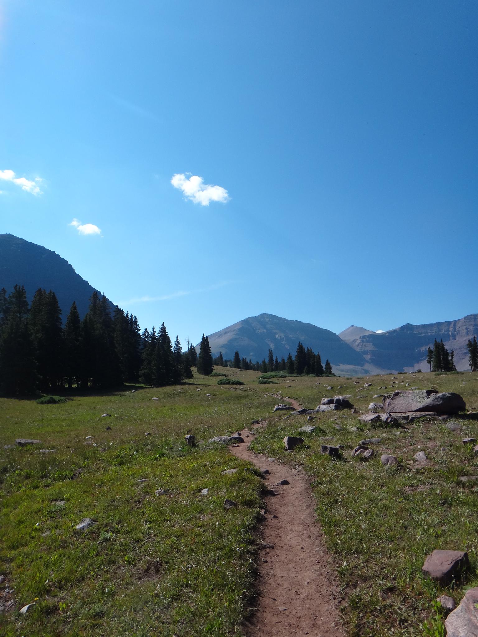
From the trailhead, the well use trail heads south. A side trail to Alligator Lake on the right is unsigned and easy to miss, but the main trail is not. Follow the main trail about 5 miles to Elkhorn Crossing. There are a couple of decent campsites along the trail before Elkhorn Crossing, but from the crossing up, the camping gets much better (and more crowded). The basin comes into dramatic view as the trees open at the crossing. Be sure to stay on the main trail headed up the basin after crossing Henry Fork.
Dollar Lake (~8 miles from the trailhead / about 4 hours)
Dollar Lake is an easy 2.5 or so miles above Elkhorn Crossing. This area receives HEAVY use. Try to minimize impacts. If looking for isolated camping, consider camping off the trail between Elkhorn and Dollar Lake.
To the summit (10 miles round trip from Dollar Lake via the shortcut, 14 miles via Painter Basin / about 6-7+ hours)
Fill up the water bottles before leaving Dollar Lake. The work, and elevation gain, begins shortly after leaving Dollar Lake as the trail begins a steep climb to Gunsight Pass.
Shortcut
At the top of the pass, before dropping down from the pass south into Painter Basin, a shortcut trail leaves on the right and more directly crosses to Anderson Pass. This can be a bit hard to spot, but well worth finding. It saves a fair amount of distance and elevation. Stay lower out of the rock field and cross to the south west, contouring over and re-joining the main trail below Anderson Pass. If missed on the way up, it is easier to spot on the return trip and makes a shorter route back.
Regular
The regular route descends into Painter Basin, and crosses the basin. On the south side of the basin, at the trail junction, go right (west) and begin the climb back up to Anderson Pass.
From Anderson Pass
Scramble up the ridge south to the summit of Kings Peak.
Maps


12T 556336E 4528908N
40°54'34"N 110°19'52"W
12T 551933E 4522675N
40°51'13"N 110°23'02"W
12T 552304E 4519556N
40°49'31"N 110°22'47"W
12T 552919E 4514122N
40°46'35"N 110°22'22"W