 Hiking Big Mountain
East Canyon
Overview
|
Sun 45 | 31 |
Mon 47 | 32 |
Tue 34 | 29 |
Wed 29 | 25 |
Thu 25 | 18 |
| View Full Weather Details | ||||
|
Sun 45 | 31 |
Mon 47 | 32 |
Tue 34 | 29 |
Wed 29 | 25 |
Thu 25 | 18 |
| View Full Weather Details | ||||
When the Donner Party and early pioneers made their way west, their path crossed over a low saddle that is today known as Big Mountain Pass. Reaching the pass, and seeing the descent on the other side must have been quite the sight. For the Donner Party, this meant a great deal of more work to build a trail suitable for their wagons down the other side an continue their journey to California. For the Mormon pioneers, it meant they were close to reaching their destination.
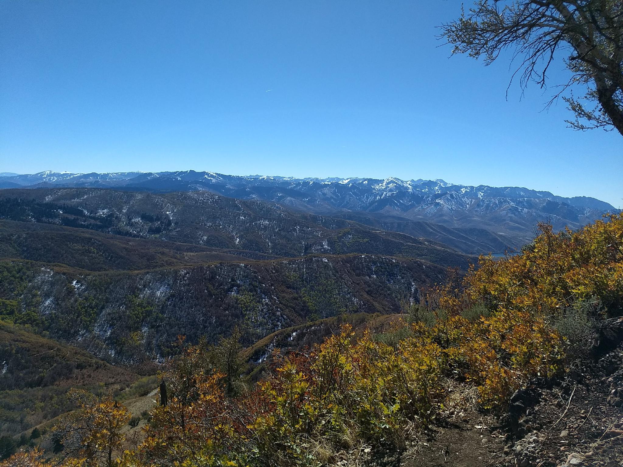
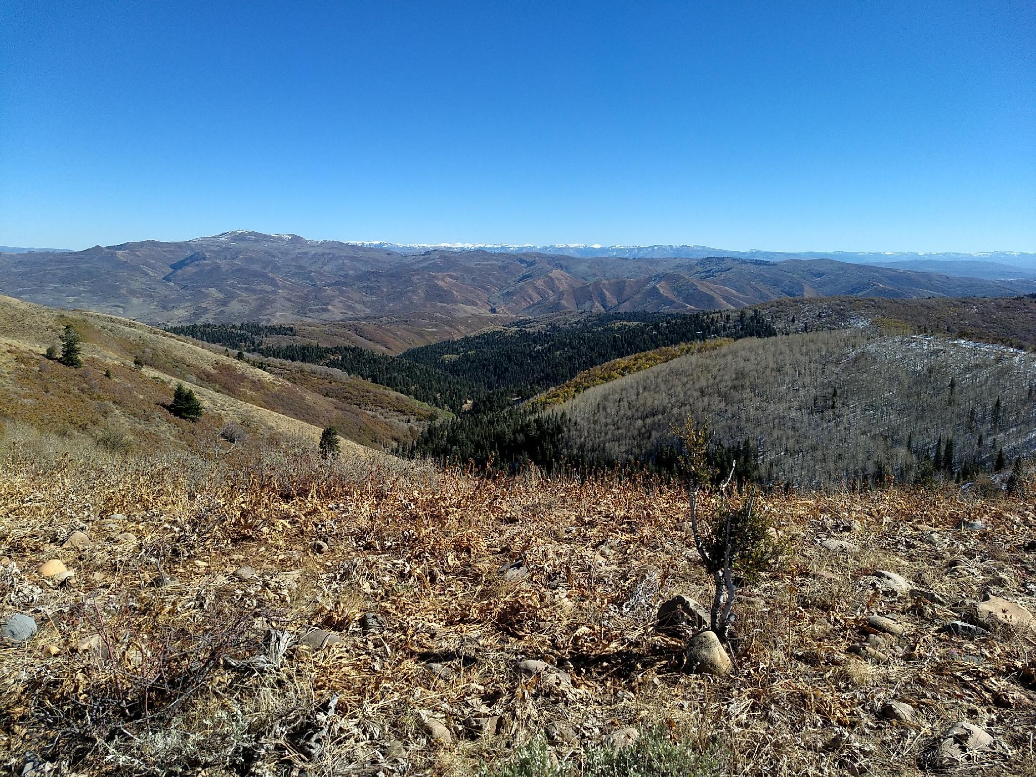
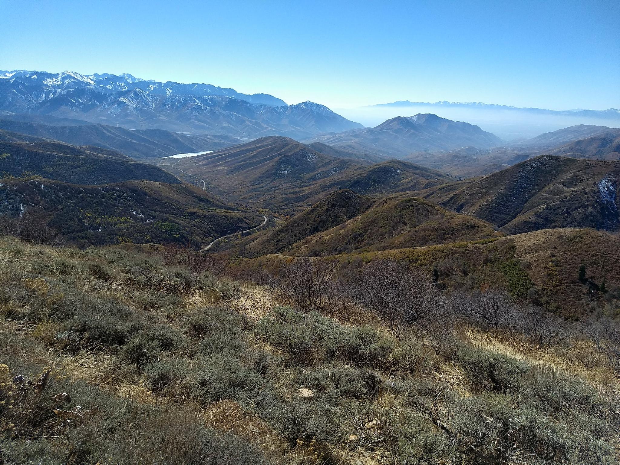
The hike to Big Mountain starts from this pass, climbs quickly to the ridge to the north, then takes a relaxed path along the ridgeline to the summit. Aside from the first lung busting mile, it is a mellow hike with excellent views of the Uinta Mountains in the distance, and Morgan, Park City, and Salt Lake City in the closer foreground. If you time your hike during leaf color change in the fall, the trail will be ablaze with color.
Getting There
From Salt Lake City, travel east about 6 miles on I-80 to exit 134 (East Canyon / Little Dell). From exit 134, travel north on UT-65 for 8.4 miles to Big Mountain Pass, and a large parking area on the east side of the road.
Route
From the pass, the trail starts on the west side of the road, across from the large parking area. It is signed, and part of the Great Western Trail. Follow the trail as it steeply switchbacks up to the ridge to the west. The first 0.75 or so miles is a bit of grunt, but once on the ridge proper, the trail eases considerably and begins heading north.
The trail heads north, on the west side of the ridge, then crosses over to the east side. Once on the east side, trees and meadows abound.
After passing through several meadows and forested sections, the trail traverses the open slope below Big Mountain. The trail proper doesn't go to the ridgeline, but just a few feet below it. Once near the ridge, climb to it, then follow an ATV track back south-east to the summit.
The views all around are excellent. Return the same way, or if time an motivation permits, you can continue on the Great Western Trail.
| Trailhead |
12T 444870E 4519892N 40°49'42"N 111°39'14"W |
| Summit |
12T 444327E 4521780N 40°50'43"N 111°39'38"W |


