 Hiking
Horsetail Falls
Hiking
Horsetail Falls
Utah County
Overview
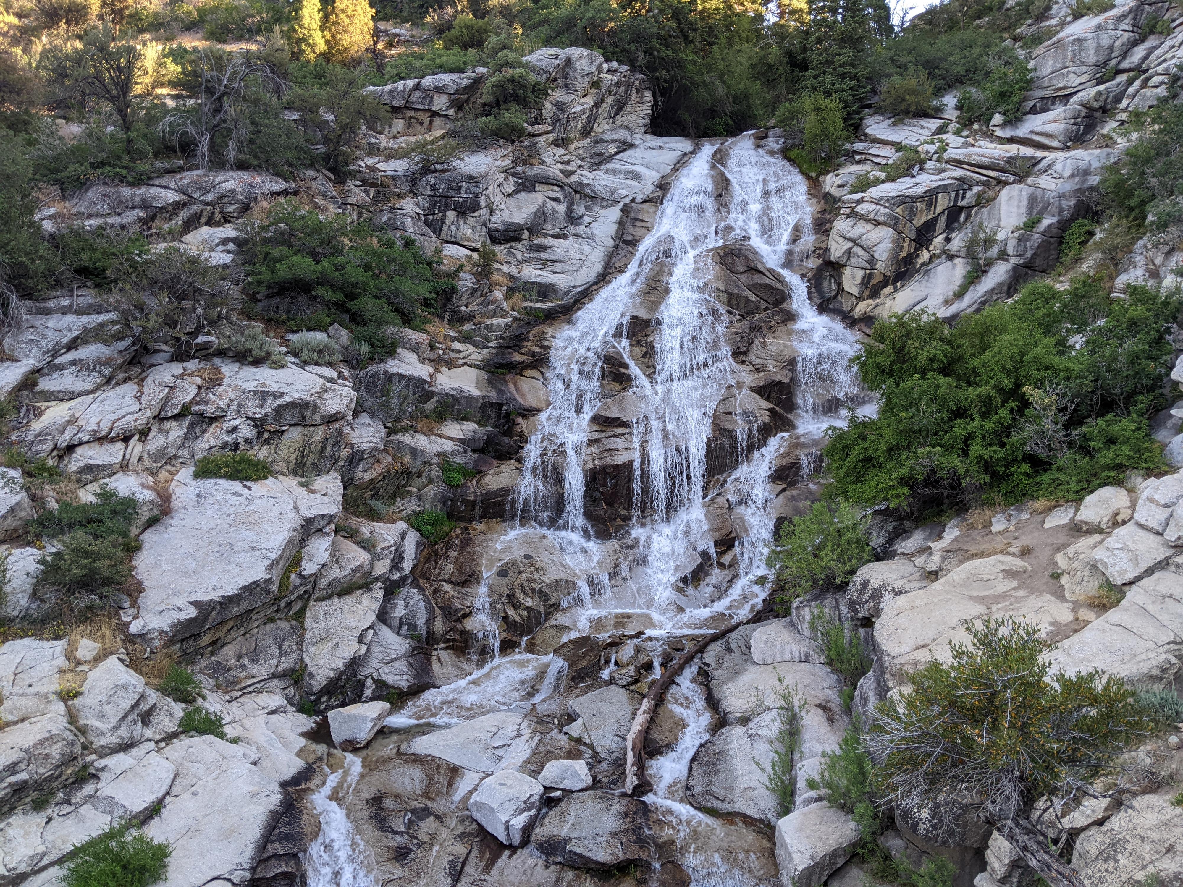
One of the more popular hikes in Utah county. Horsetail Falls is a lovely oasis on a hot day. It is easy to see why this hike is popular! The hike, ambling up an old road, is mostly shaded on a well travelled and easy to follow trail. The falls themselves are idyllic and make a magnificent spot for a lunch or snack break. Though many recommend this as a family friendly hike, I would point out it has about 1500 feet of elevation gain in the 2.25 miles to the falls. That is pretty steep! My 5-year-old would not enjoy it, but may in a couple of years.
Finally, the falls can be a crowded place on weekend afternoons. If looking for solitude, I’d recommend an early start. One weekend morning, it surprised me to see only one other person at the falls that left soon after I arrived. By the return hike, however, dozens more were heading up!
Getting There
The trailhead is the Deer Creek/Dry Creek/North Mountain Trailhead that is located northeast of Alpine. To get there, take exit 283 from I-15 and head east on Triumph Blvd. Follow Triumph Blvd for 0.6 miles and turn right on UT-92. Continue on UT-92 for 5.1 miles to 5300 West. Turn left (north) onto 5300 West and follow it 1.8 miles, staying straight at the traffic circle, to 200 North.
Turn right on 200 North, then left in a couple of blocks at 200 E St/Grove Dr. Follow Grove Drive for 1.8 miles. It takes a sinuous path, so pay attention at junctions. At 1.8 miles, Grove Drive reaches a T. Go right, following Grove Drive an additional 0.7 miles to its end at the trailhead just inside National Forest Service Land. There is a parking area at the trailhead, but not restroom.
Route Description
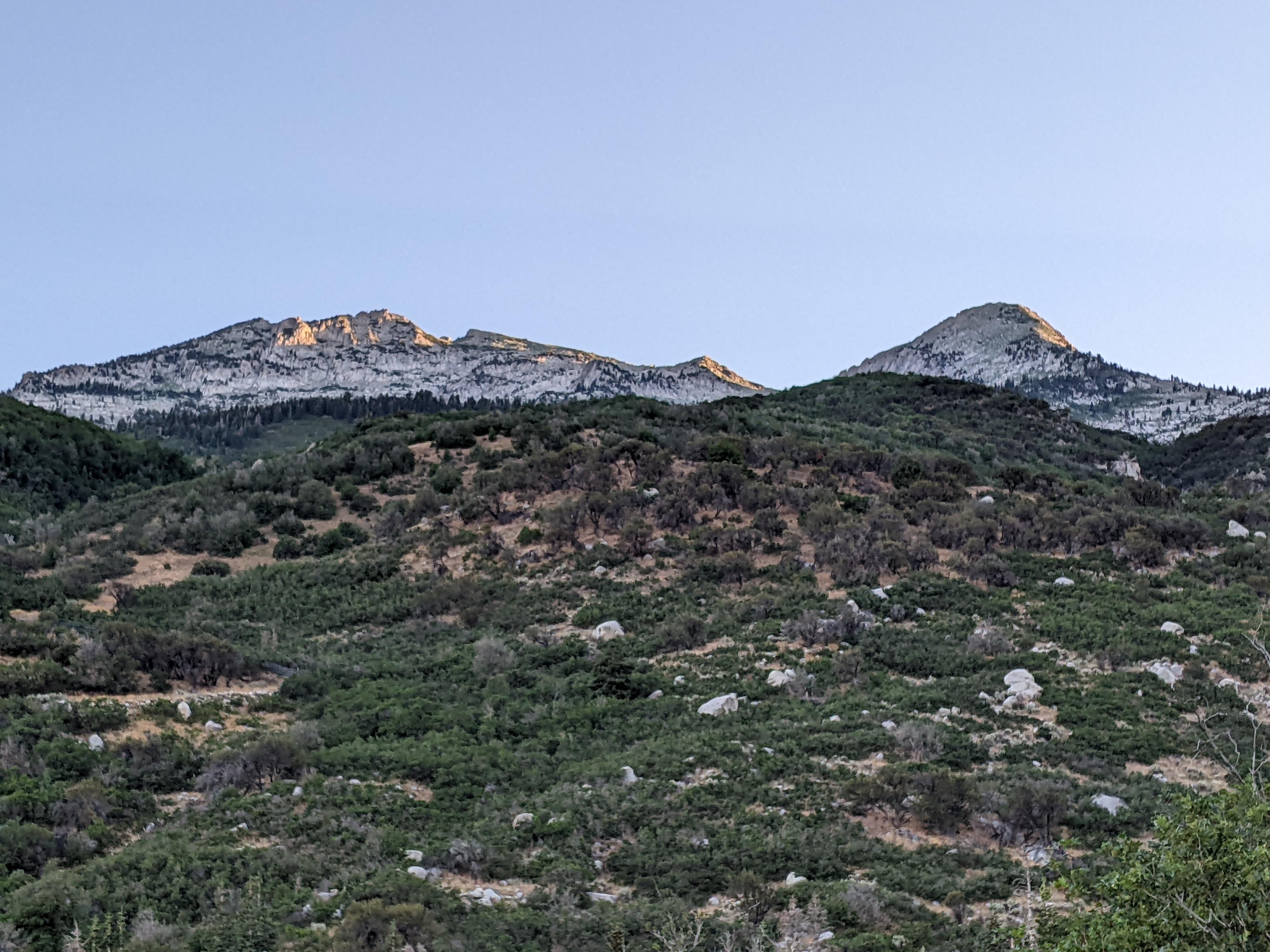
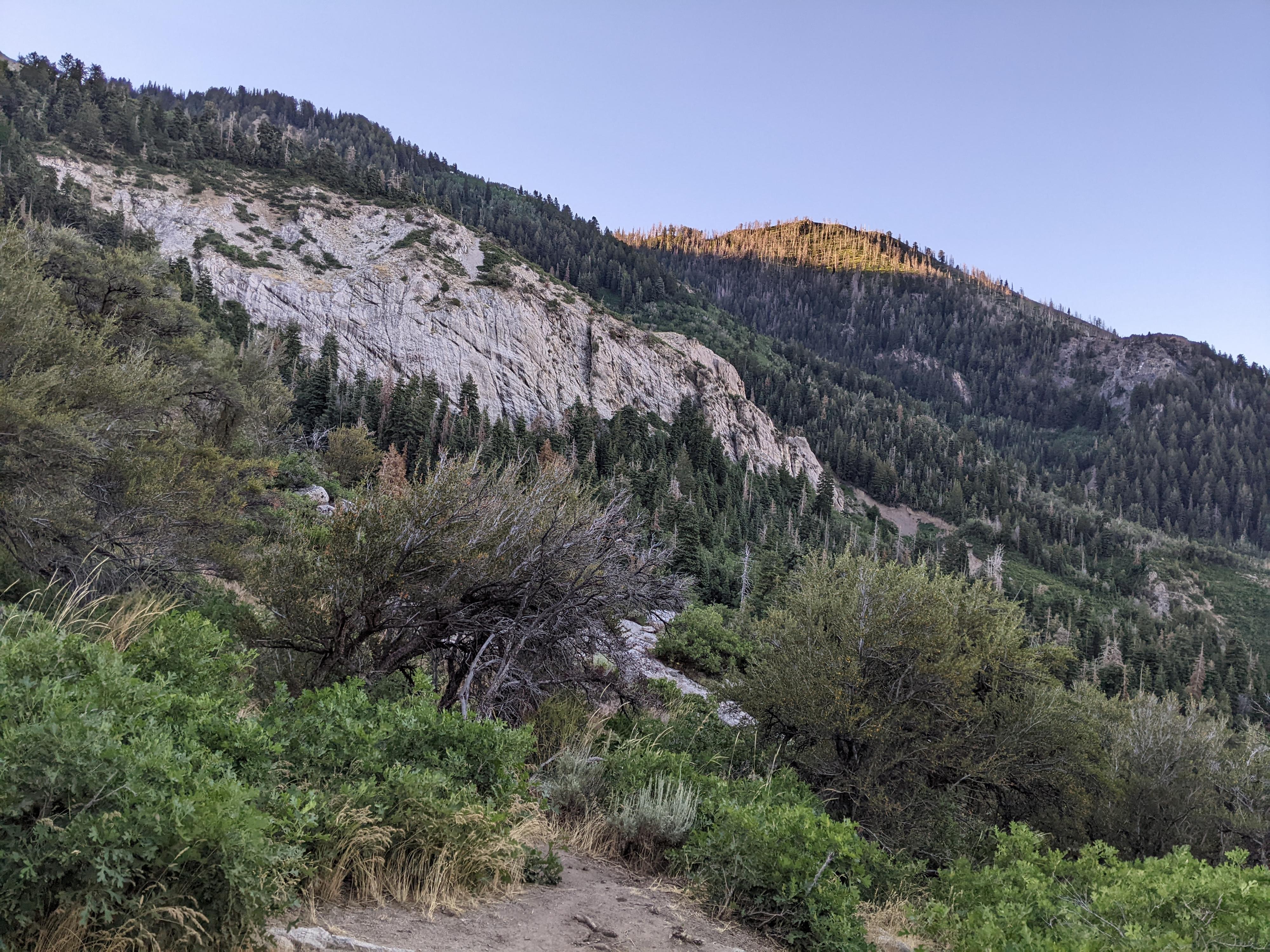
From the trailhead, follow the wide trail as it heads up Dry Creek Canyon. The wide, rocky trail has occasional braiding and side trails. Stay on the widest, most used path heading uphill, and you will head in the right direction.
About 0.45 miles from the trailhead, the Phelps Canyon trail leaves on the right. You may not even notice it. The narrow trail is inconspicuous, but had a wooden post denoting it in the summer of 2022. If you notice it, simply stay left on the main Dry Creek trail.
About 1.8 miles of steep hiking from the trailhead is a small side trail to a large rock about 50 feet off the main trail. In 2022, there was a small Observation Rock sign at this junction. The rock gives a view up to Horsetail Falls and is worth the very short detour to see.
From Observation Rock, continue up on the main trail. About 2.1 miles from the trailhead is a major junction. This is an important landmark. Stay left at this junction, but then immediately look for a social trail leaving on the left down a steep section. It is a well used social trail and very obvious. There is often a rope here to help people up and down, though should not be needed by most. Follow the social trail as it weaves through trees, then over to the base of Horsetail Falls.
Maps

12T 436414E 4481600N
40°28'58"N 111°45'01"W
12T 436857E 4482043N
40°29'12"N 111°44'42"W
12T 438331E 4483036N
40°29'45"N 111°43'40"W
12T 438494E 4483303N
40°29'53"N 111°43'33"W
12T 438491E 4483321N
40°29'54"N 111°43'33"W
12T 438358E 4483366N
40°29'55"N 111°43'39"W