 Hiking
Willow Lake
Hiking
Willow Lake
Big Cottonwood Canyon
Overview
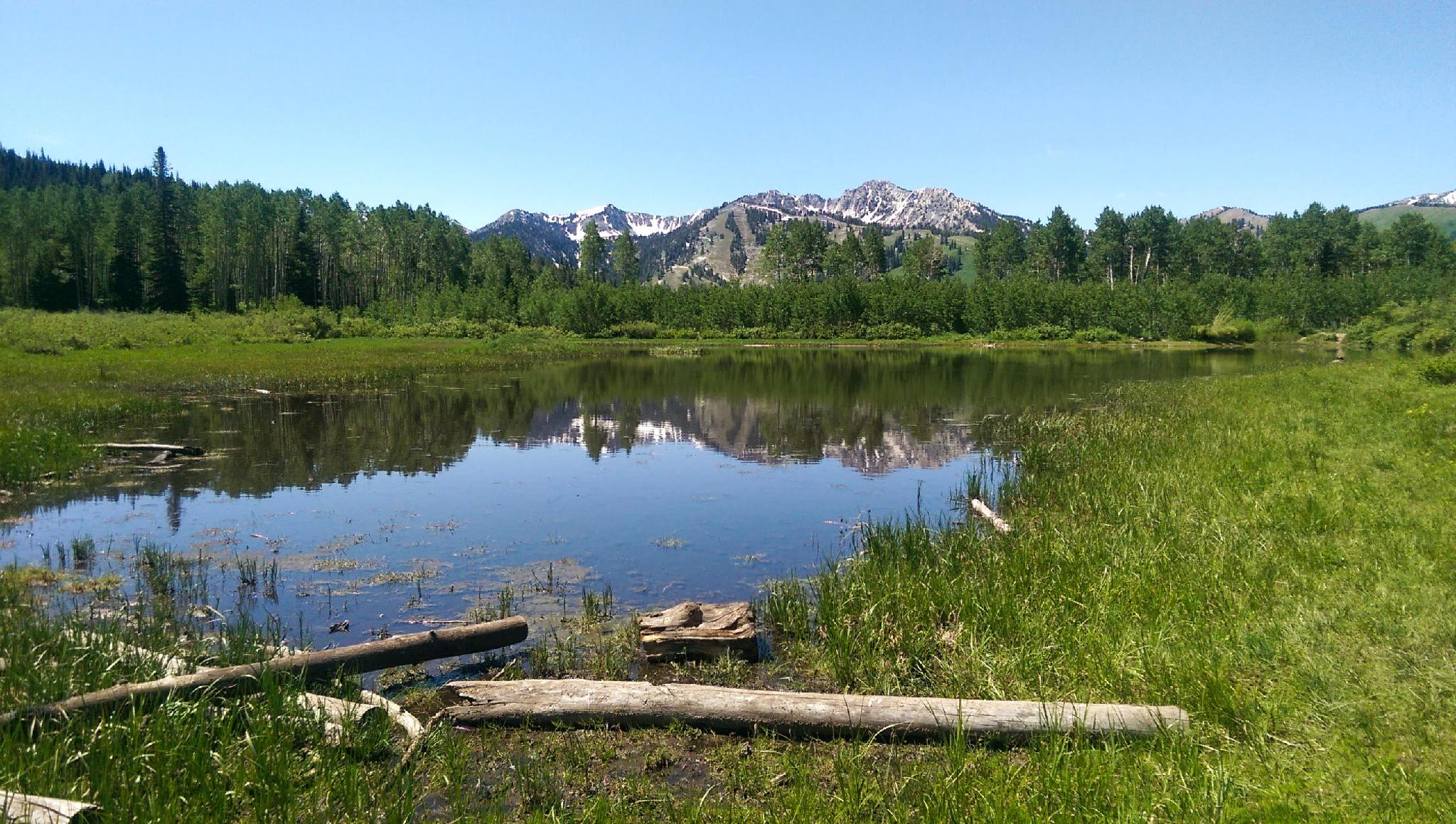
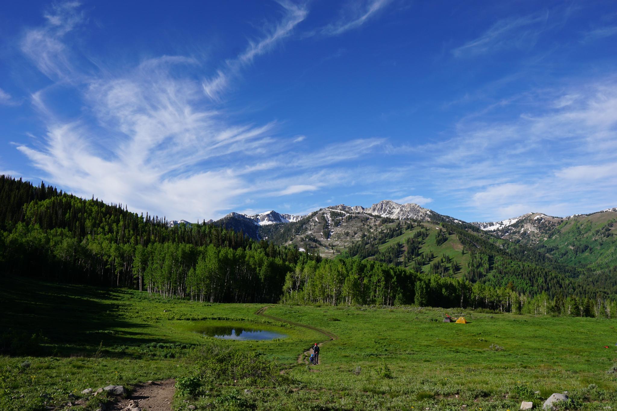
Willow Lake is a great short outing in Big Cottonwood Canyon that takes you through aspen forest to a small lake with great views of the ridgeline between big and little Cottonwood Canyons. This is a gorgeous area to visit in the fall when the leaves are at their peak, a good short backpack, and an ideal outing for the whole family. The hike does start out steep and rocky, though, so plan to take your time in the way up.
The lake is mostly on forest service land, but the majority of the hike goes through the willow heights conservation area, managed by utah open lands. This 155 acre parcel was saved from development in 2001 when salt lake city purchased the land from United park City mines company.
Getting There
Big Cottonwood Canyon is on the east side of the Salt Lake City Valley. Get there by taking I-215 to the east, taking exit 6 off the interstate and heading east.
Follow 6200 South which becomes Wasatch Blvd for 1.8 miles to the stop light and signs for Big Cottonwood Canyon.
Turn left at the light and reset your odometer.
Drive up Big Cottonwood Canyon for 11.6 miles to mile post 13.55. There is parking on the right side of the road, and a rock signed Willow Heights Conservation Area on the left (north) side of the road.
Route Description
The trailhead is marked with a stone commemorating the preservation of the conservation area. A short distance from the road, the trail reaches a fork. Both trails go to the lake. Left makes two stream crossings, but seems less rock and a touch less steep. Right a bit rockier, but no stream crossings. Take your pick! Either way, the trail ascends steeply up through a stand of aspen, gaining over 500 feet in about half a mile. The trail then levels out and the views open up.
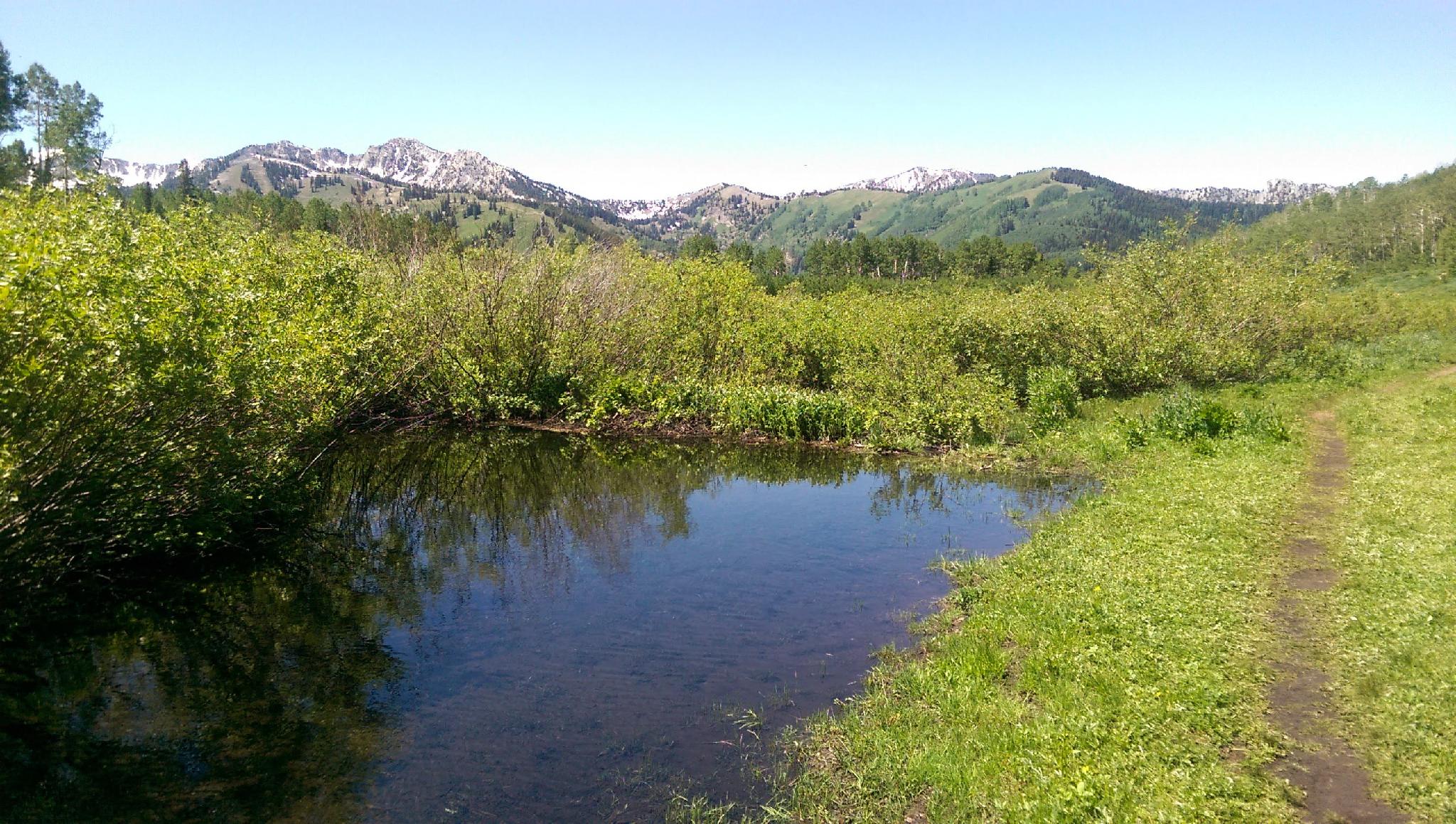
Soon you'll come to a junction for the loop around the lake. Head left to get to the lake immediately or head right to loop through an aspen stand before reaching the lake. I suggest heading to the right first if you plan on doing the full loop. You'll soon leave the clearing to head into the aspens. A trail to Dry Lake will head off to the right. Stay left and soon you will reach some beaver ponds along the stream and then the lake itself. The views from the northeast corner of the lake are the best,with the Cottonwood ridgeline reflected in the water at the right time of day. Continue around the lake to the loop trail junction, then return the way you came.
Photos
Maps

12T 448879E 4497874N
40°37'48"N 111°36'16"W
12T 448888E 4498035N
40°37'54"N 111°36'16"W
12T 449488E 4498534N
40°38'10"N 111°35'50"W
12T 449774E 4498765N
40°38'18"N 111°35'38"W