 Roadside Attraction
White Rocks
Roadside Attraction
White Rocks
Skull Valley
Overview
A few springs dot Skull Valley, but the valleys stark expanse has an imposing feel. When the ill-fated Donner party passed through Skull Valley in 1846, the valley was known by the much more welcoming Spring Valley. Today, while passing through on UT-196 at highway speed, Skull Valley may seem desolate and a place to be hurried past.
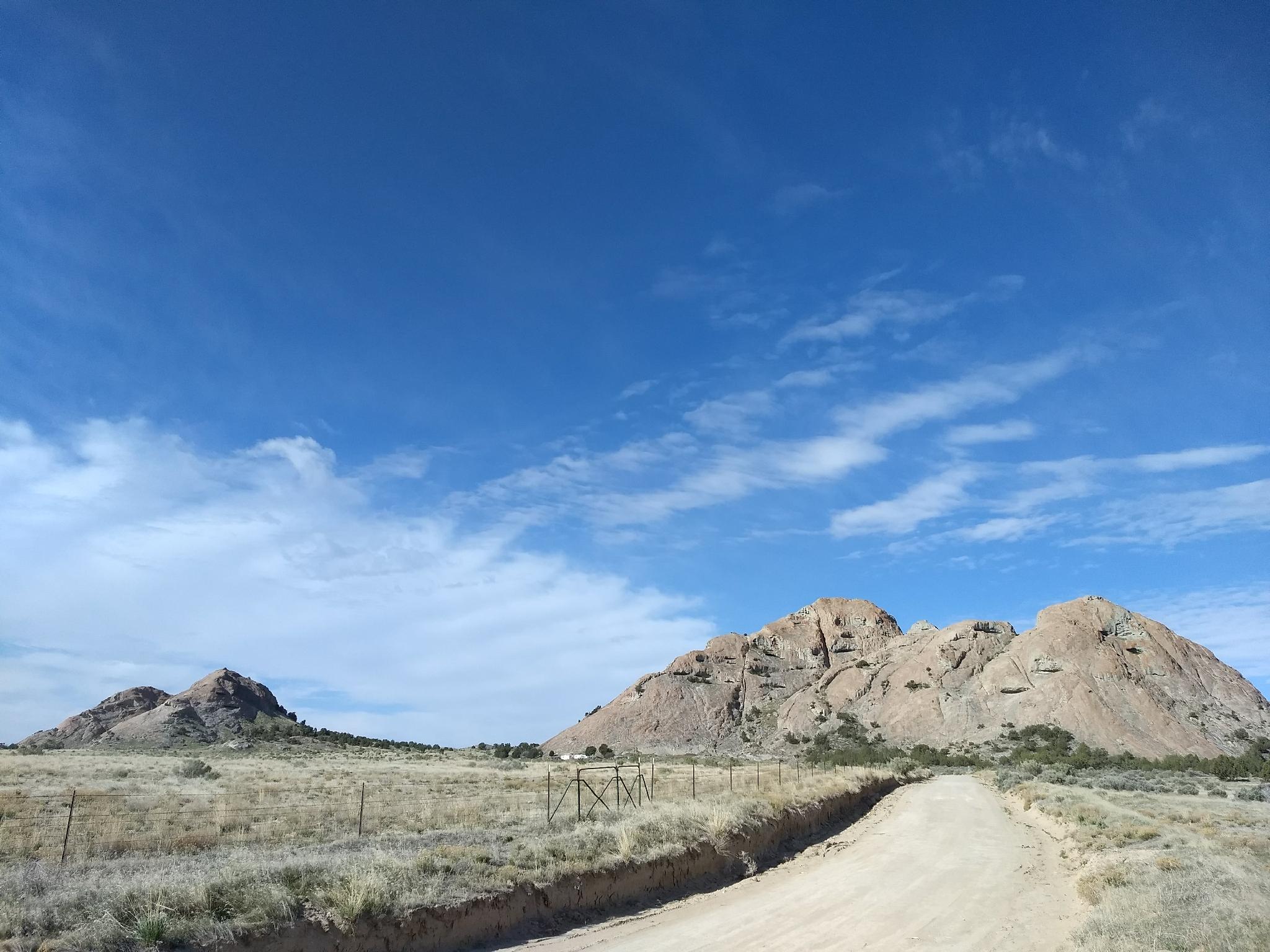
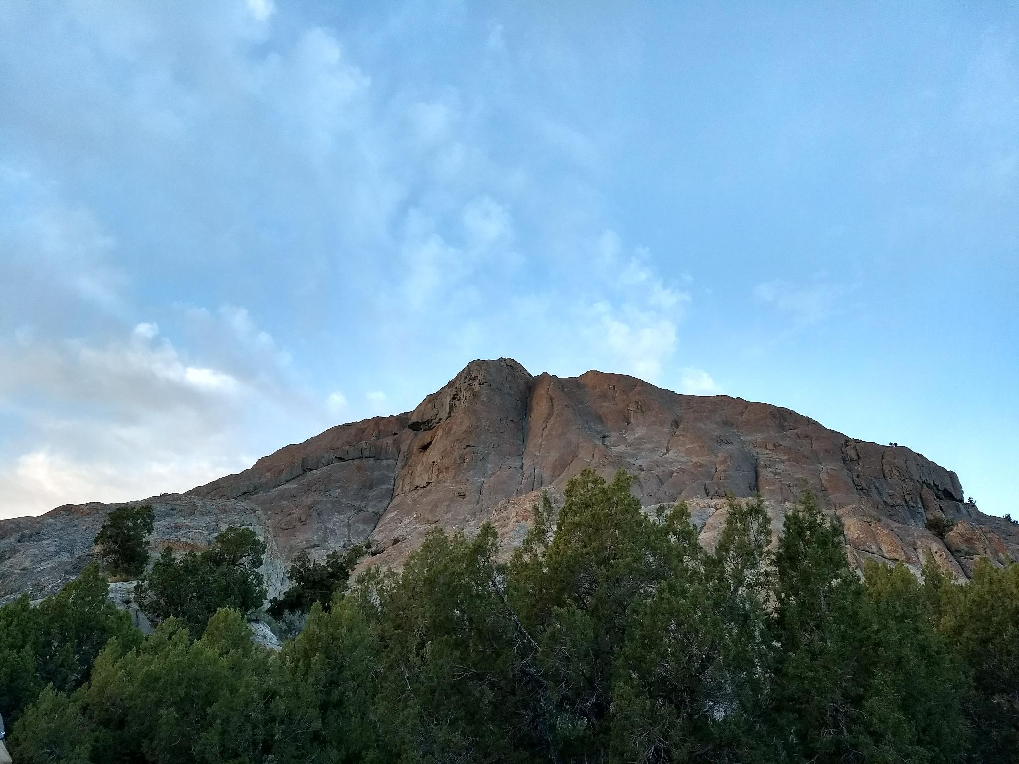
Skull Valley holds some gems in its expanse. White Rocks is one of those gems that is often overlooked. On the southwest end of the valley, near the base of the Cedar Mountains, White Rocks is a series of several granite outcroppings. These granite outcroppings are in contrast to the rest of the valley, and a great roadside stop. There are many excellent primitive camping sites that dot the area, and you are likely to find a space for solitude on all but the busiest weekends.
Getting There
White Rocks is near Dugway, UT. Most will reach this from I-80, about 1.5 hours from Salt Lake City.
Go west on I-80 from Salt Lake City to exit 77, signed Dugway / Iosepa. Go south off the highway on UT-196 for 29.5 miles to MP 7.4.
Route Description
When approaching White Rocks, there are many excellent campsites on the south and west sides of the main rock formation. The north side requires high clearance.
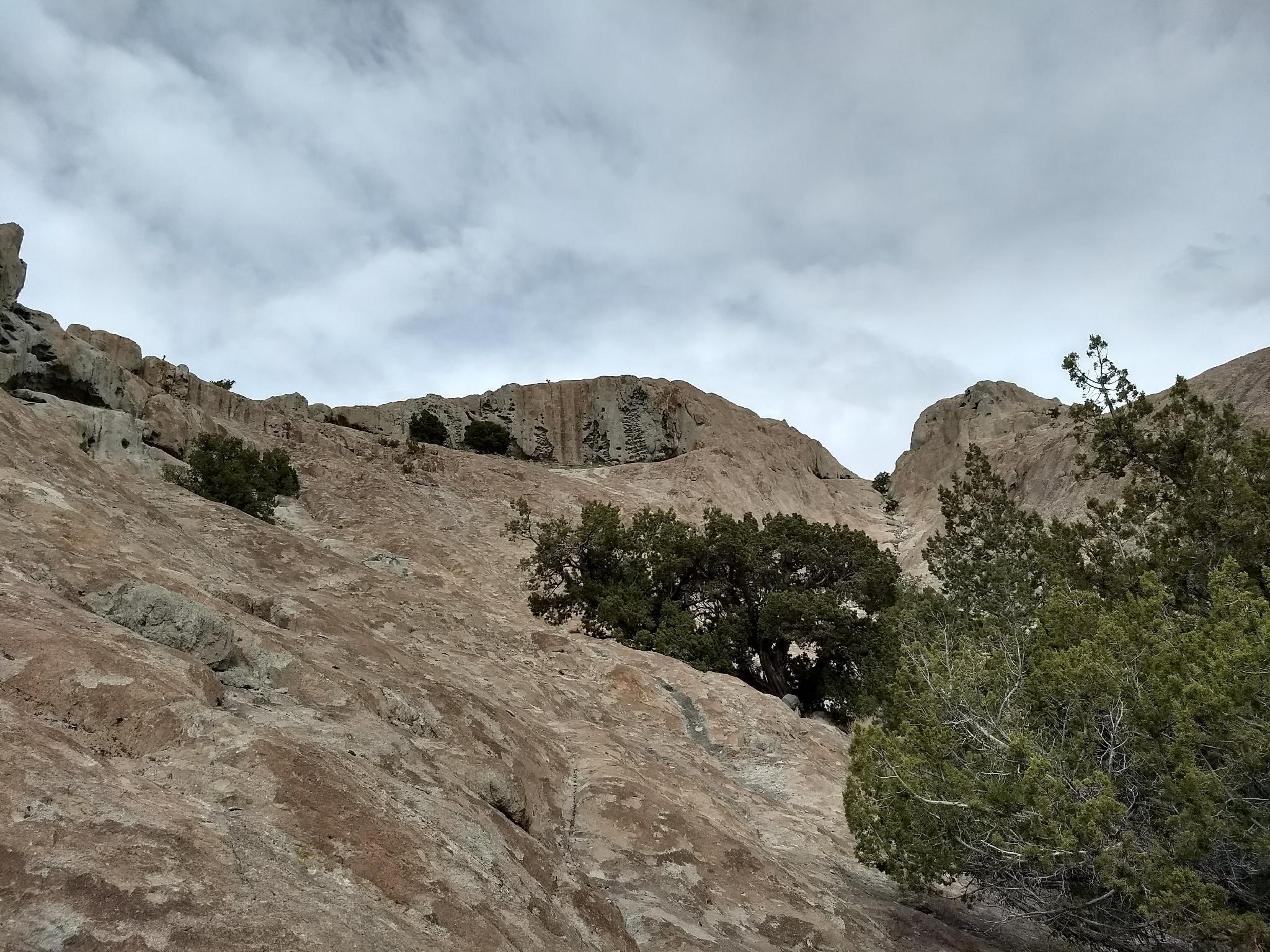
Heading south to one of the smaller formations has generally more solitude, but not quite as good of views in my opinion.
Maps

12T 351812E 4466049N
40°19'55"N 112°44'40"W
12T 339044E 4465767N
40°19'37"N 112°53'41"W
12T 342898E 4466226N
40°19'54"N 112°50'58"W