 Hiking
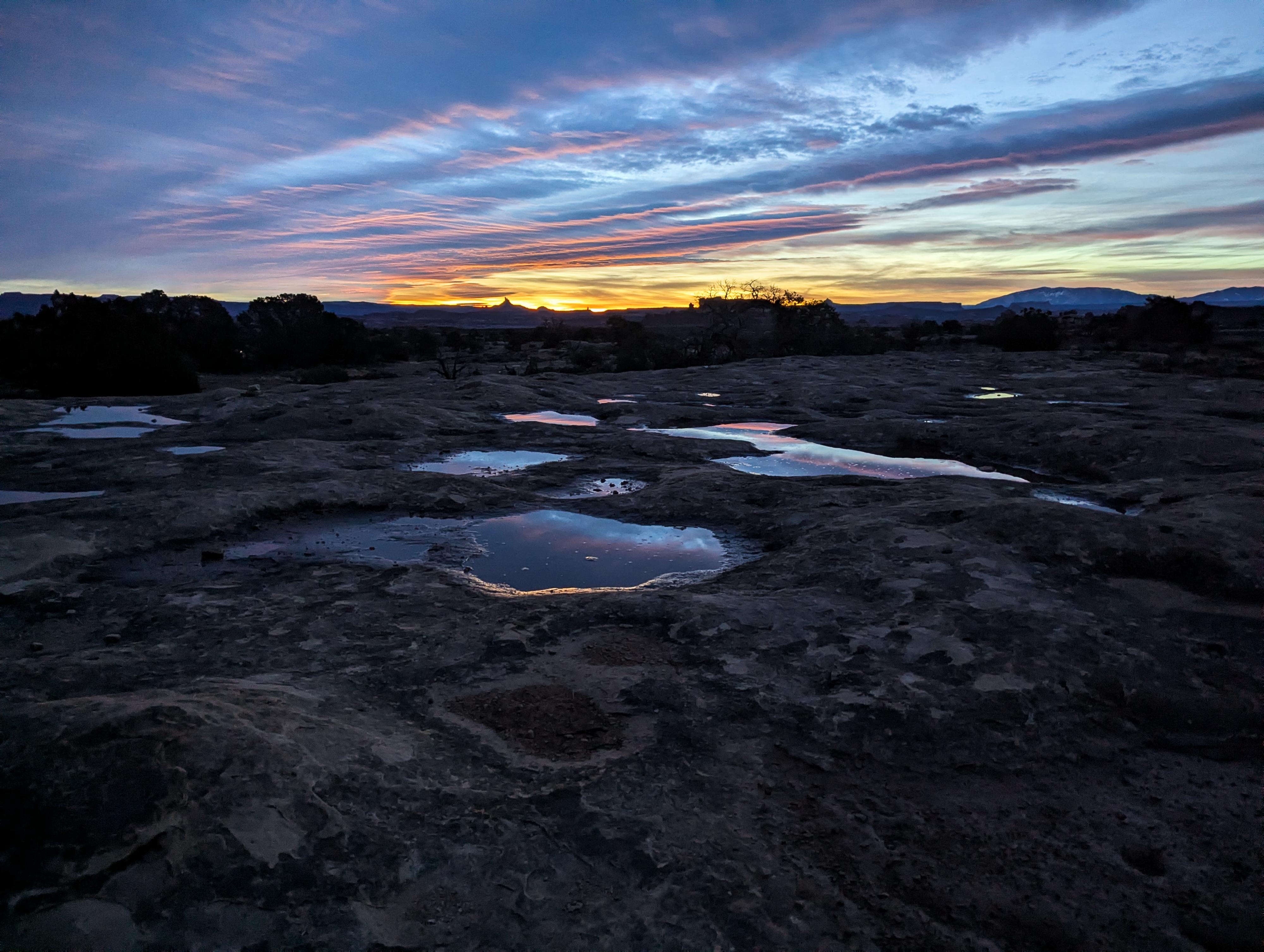
Pothole Point
Hiking
Pothole Point
Needles District
Overview
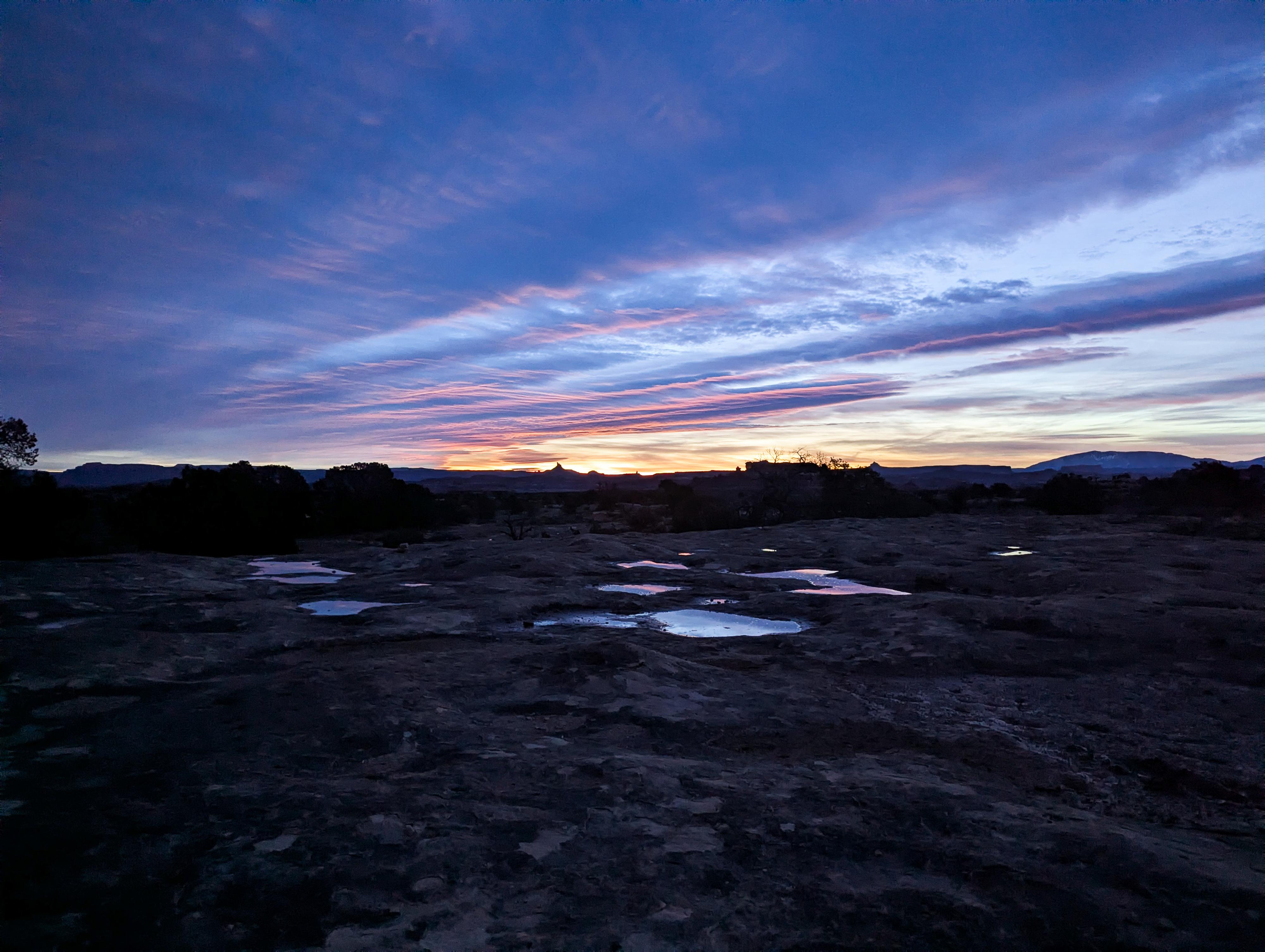
This is a lovely short hike with expansive views of the Needles to the south and even the distant Maze District to the west across the Colorado River. We visited for sunrise on our trip, and it was a magical place to watch the sunrise! Highly recommended. The trail, as it ambles on slickrock around the point, has some neat rock features and overhangs to check out on the way as well as the outstanding distant views.
From the NPS Informational Sign:
Depressions in the rock along this trail are called potholes. Rainwater collects in these natural basins allowing various snails, beetles, worms, and shrimp to hatch from eggs or emerge from dormancy. These small creatures race against time to complete their life cycles before the water dries up again in the desert heat. Be careful not to pollute these miniature habitats. The slightest disturbance by hands or feet can disrupt this fragile ecosystem.
Getting There
The two closest towns to the Needles District are Monticello and Moab. Monticello is closer, but Moab is larger and has more services.
From Moab to the Visitor Center - Total Drive Time: Approx. 1 hour 15 minutes and ~75 miles from Moab
- From Moab, head South on US-191 S (Main Street).
- Stay on US-191 S for 39.6 miles. Keep an eye out for the junction with UT-211.
- Turn Right onto UT-211 W. This is the scenic road that leads directly into the Canyonlands area.
- Follow UT-211 W for 34.4 miles.
- As you approach the park entrance, follow the signs and turn Right into the Needles Visitor Center parking area.
From Monticello to the Visitor Center - Total Drive Time: Approx. 1 hour and ~50 miles
- Head North on US-191 N (Main Street) toward Moab.
- Follow US-191 N for 14.4 miles.
- Turn Left onto UT-211 W. You’ll see signs for Canyonlands National Park.
- Stay on UT-211 W for 34.4 miles.
- As you approach the park entrance, follow the signs and turn Right into the Needles Visitor Center parking area.
From the Visitor Center
Head into the park on the main road. Stay on this main road also known as the Scenic Drive for 5 miles to the trailhead and parking area that is signed on the left side of the road.

Route Description
From the trailhead, simply follow the trail. It splits in a couple of minutes and moves onto slickrock. Either direction works; just keep a close eye out for cairns. The trail makes a loop around the rock point.
Maps

12S 604551E 4225389N
38°10'13"N 109°48'23"W