 Roadside Attraction
Valley Of The Gods
Roadside Attraction
Valley Of The Gods
Bluff
Overview
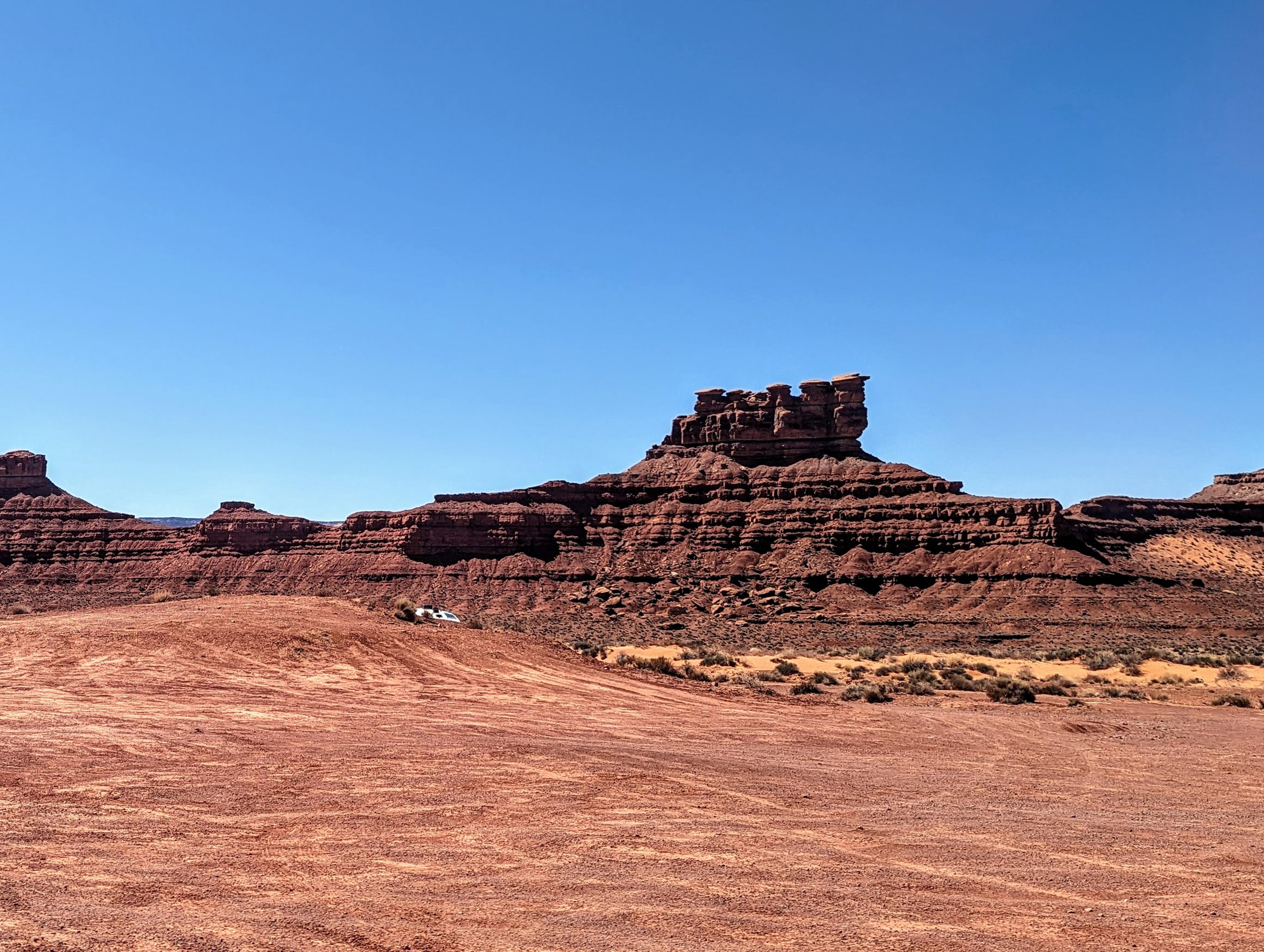
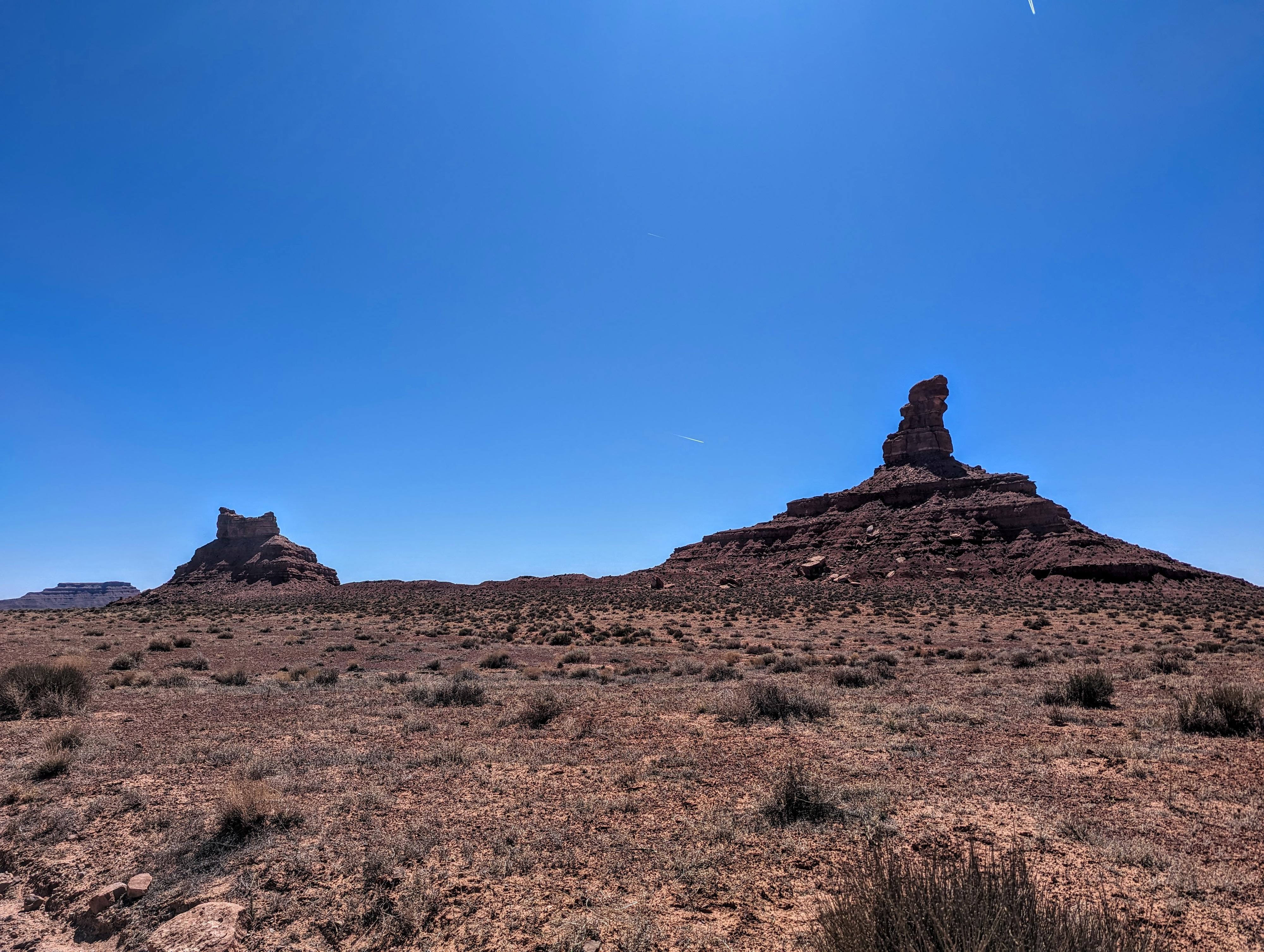
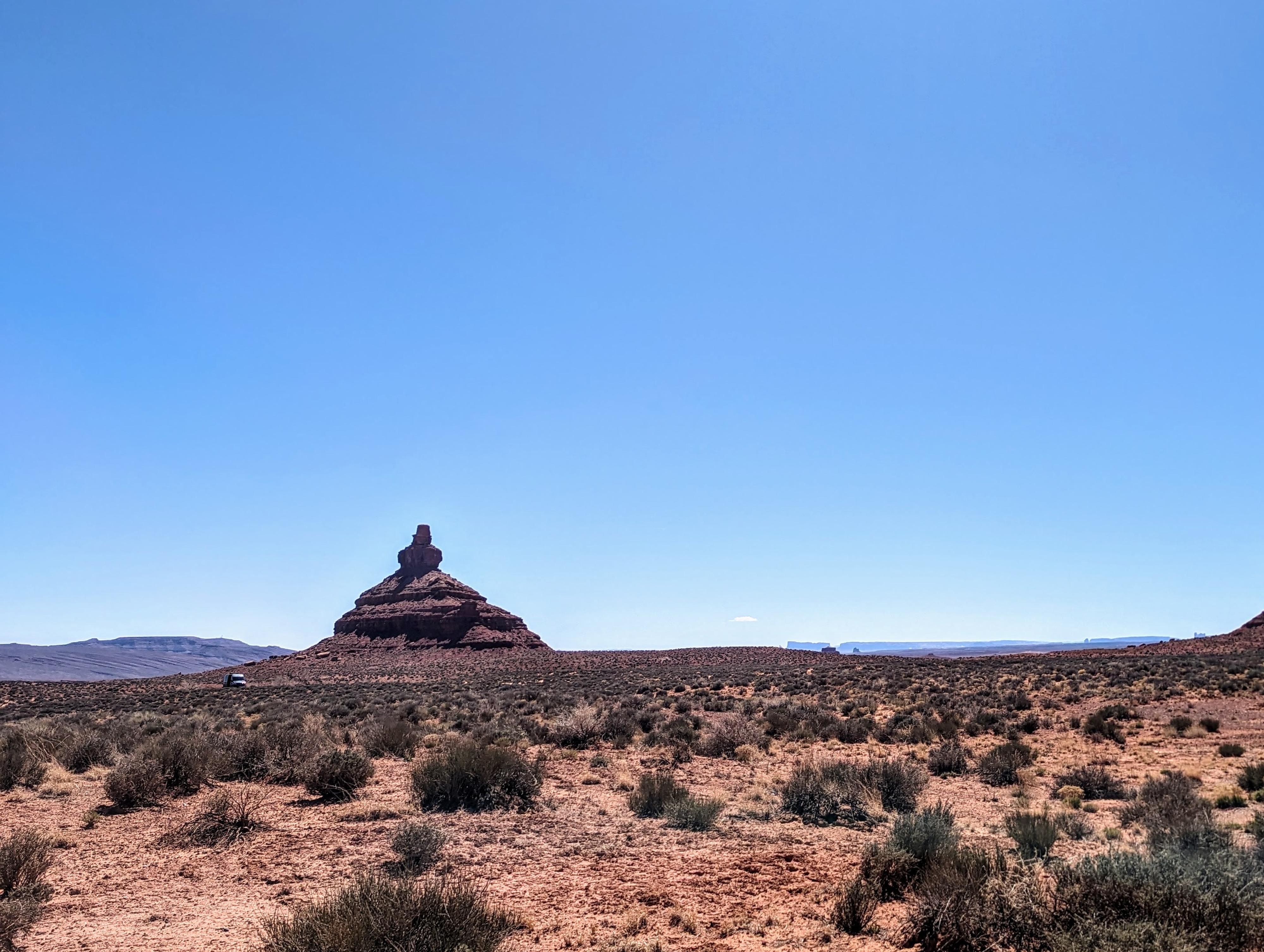
The Valley of the Gods is a scenic sandstone valley that is similar but not as dramatic as Monument Valley. While not as famous as its neighboring parks such as Monument Valley or Canyonlands National Park, it offers similarly stunning landscapes. It is much less busy than the more well-known Monument Valley and, unlike Monument Valley, primitive camping and hiking in Valley of the Gods is allowed.
Some Native Americans believe the rock formations are powerful places where warrior spirits reside.
Getting There
The road through the Valley of the Gods can be driven in either direction. The eastern turnoff starts off US-163 at mile marker 29. This is about 5 miles west of Bluff, UT. The western turnoff starts off SR 261 at mile marker 6.4. SR 261 is the road the goes by Goosenecks State Park, climbs the Moki Dugway and crosses the top of Cedar Mesa. Most people on my trips have been driving the route from East to West, so that is what is described here. Reset your odometer as you turn onto the scenic drive. There are a few minor side roads off the main road. Stay on the main road. The side roads have good primitive camping.
Route Description
About 0.9 miles from the highway, there is a small pull-out on the left and side road. Seven Sailors are west of the pullout.
3 miles - The road just passes Setting Hen Butte with Rooster Butte just ahead.
5 miles - A small side road on the left goes to a couple of primitive campsites. The small tower to the south is Franklin Butte. The larger mesa just north is Battleship Rock.
7.3 miles - A small side road on the right goes to an overlook/primitive camping area. To the west is Castle Butte, which the road circles near shortly To the northeast is a tower called De Gaulle and His Troops.
8 miles - Rudolph and Santa Claus are to the west. I thought this was easy to spot, but my 6-year-old did not think it looked like Santa Claus!
10.6 miles - A pull-out on the right is a good stopping point to view Lady in the Bathtub to the west before the road descends and crosses a wash. This is the last named feature.
16.5 miles - Back to pavement at SR-261.
Maps
")
")
")
12S 605171E 4121597N
37°14'06"N 109°48'52"W
12S 604252E 4122531N
37°14'37"N 109°49'28"W
12S 605777E 4125676N
37°16'18"N 109°48'25"W
12S 605395E 4126226N
37°16'36"N 109°48'40"W
12S 602972E 4128036N
37°17'36"N 109°50'18"W
12S 603995E 4127318N
37°17'12"N 109°49'36"W
12S 601547E 4130377N
37°18'52"N 109°51'14"W
12S 602110E 4131249N
37°19'20"N 109°50'51"W
12S 601159E 4129871N
37°18'36"N 109°51'30"W
12S 599251E 4126845N
37°16'59"N 109°52'49"W
12S 594652E 4124724N
37°15'51"N 109°55'57"W