Black Table Canyon | Trachyte

Canyoneering Black Table Canyon - Trachyte Canyoneering Black Table Canyon

Trachyte

Overview

Sun Rain showers before noon, then showers and thunderstorms likely. Mostly cloudy, with a high near 61. South southwest wind 21 to 26 mph. Chance of precipitation is 90%.
61° | 47°
Mon A slight chance of rain showers after noon. Mostly sunny, with a high near 66. South southwest wind 9 to 22 mph. Chance of precipitation is 20%.
66° | 43°
Tue Sunny, with a high near 68.
68° | 43°
Wed Sunny, with a high near 72.
72° | 46°
Thu A slight chance of rain showers before noon, then a slight chance of showers and thunderstorms. Mostly sunny, with a high near 72.
72° | 51°
RATING: 3A
MAPS: Black Table, UT
SEASON: Any, no snow. Hot in the summer.
RAPPELS: 1 - 12 m ( 40 ft. )
WATER: None.
FLASHFLOOD: Low
NOTES: This canyon is best done with a short car shuttle.
Sun Rain showers before noon, then showers and thunderstorms likely. Mostly cloudy, with a high near 61. South southwest wind 21 to 26 mph. Chance of precipitation is 90%.
61° | 47°
Mon A slight chance of rain showers after noon. Mostly sunny, with a high near 66. South southwest wind 9 to 22 mph. Chance of precipitation is 20%.
66° | 43°
Tue Sunny, with a high near 68.
68° | 43°
Wed Sunny, with a high near 72.
72° | 46°
Thu A slight chance of rain showers before noon, then a slight chance of showers and thunderstorms. Mostly sunny, with a high near 72.
72° | 51°
First Downclimb - Black Table Canyon
Cool Tower - Black Table Canyon

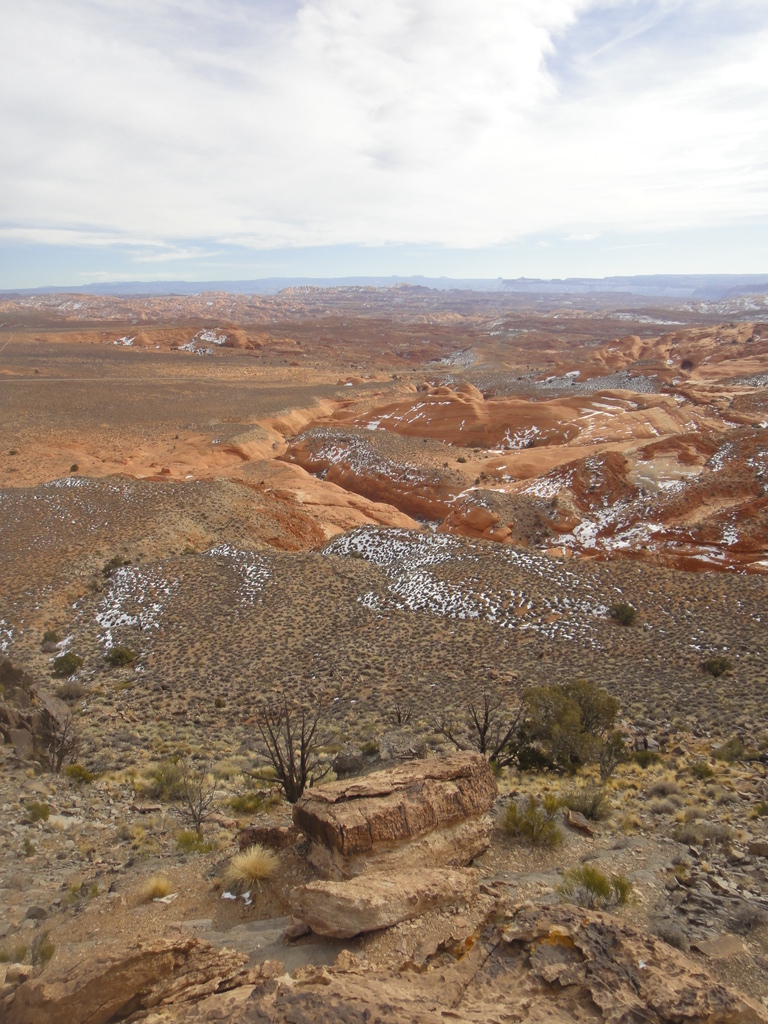
Black Table Canyon is one of those canyons that any canyoneer worth their salt has wondered about as they drove by on the way to something else. I first descended the canyon several years ago and have had numerous people ask me if I had any information on it since then.

To be honest, though it looks kind of interesting from a distance, it is really not particularly good. One short rappel and a unique granite section are pretty much it. Overall, not one I would recommend, but since many have asked, here is the information.

Granite wall - Black Table Canyon
Granite gateway - Black Table Canyon

Getting There

Exit
The exit is at Maidenwater Spring, milepost 8.6 on highway 276. This is 1.6 miles past where you turn off the highway for the trailhead.

Start
Go south out of Hanksville on highway 95 about 26 miles to its junction with 276 to Bullfrog. Go on 276 toward Bullfrog/Ticaboo for 7 miles. Just before mile marker 7, a dirt road goes off on the right.

This is the Ghost Ridge road, number 13800. Reset your odometer as you leave the highway. 12S 536622E 4197929N / 37°55'41"N 110°34'60"W
Follow it for 1.5 miles to where a culvert goes under the road. Stay left at all junctions. The culvert is the trailhead, but there isn't a great place to pullout there, so you may need to go 0.1 miles further to a wide spot after a turn. 12S 535620E 4195977N / 37°54'38"N 110°35'41"W
The Desert - Black Table Canyon

Route Description

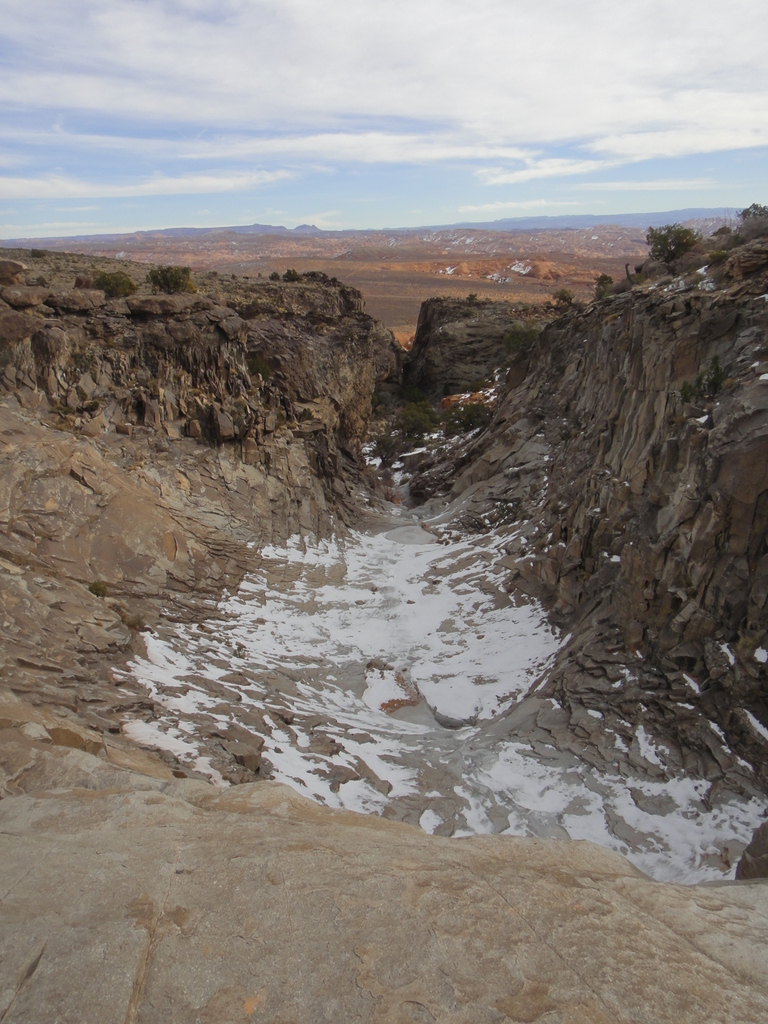
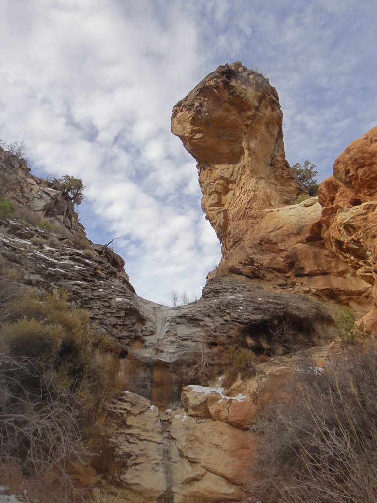
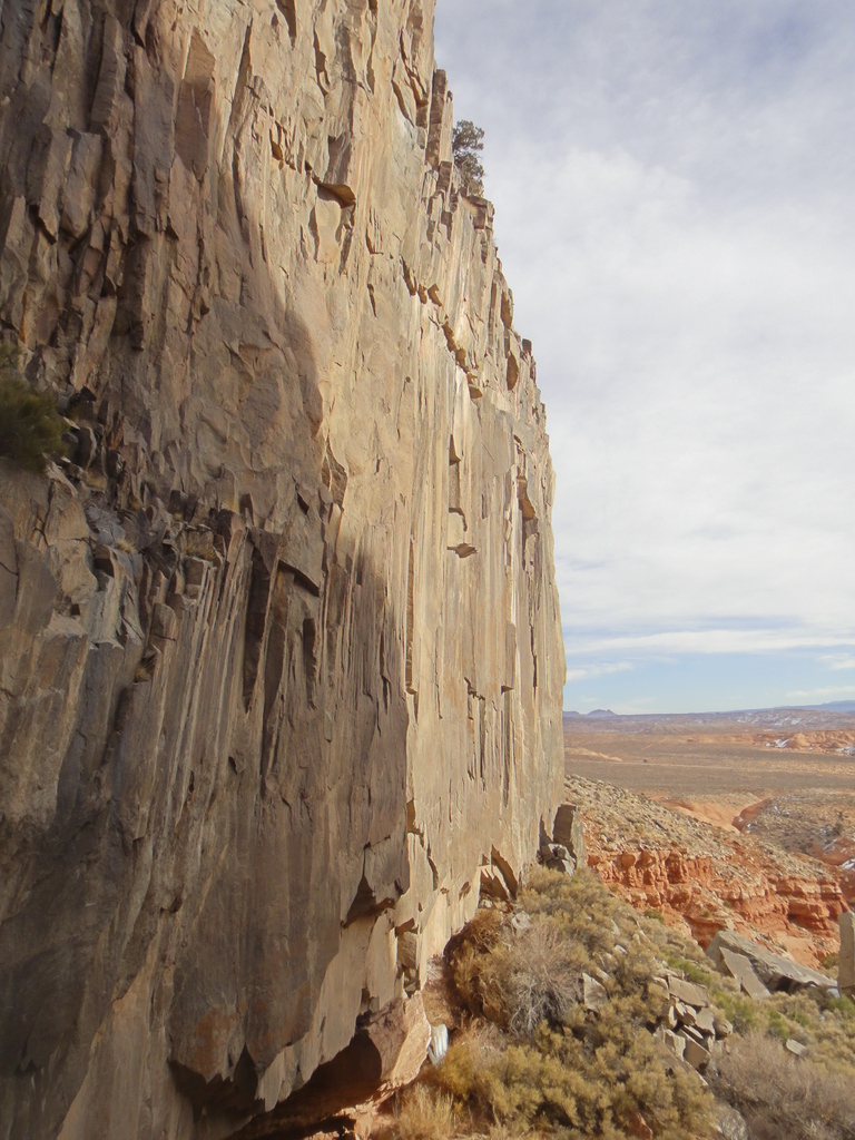
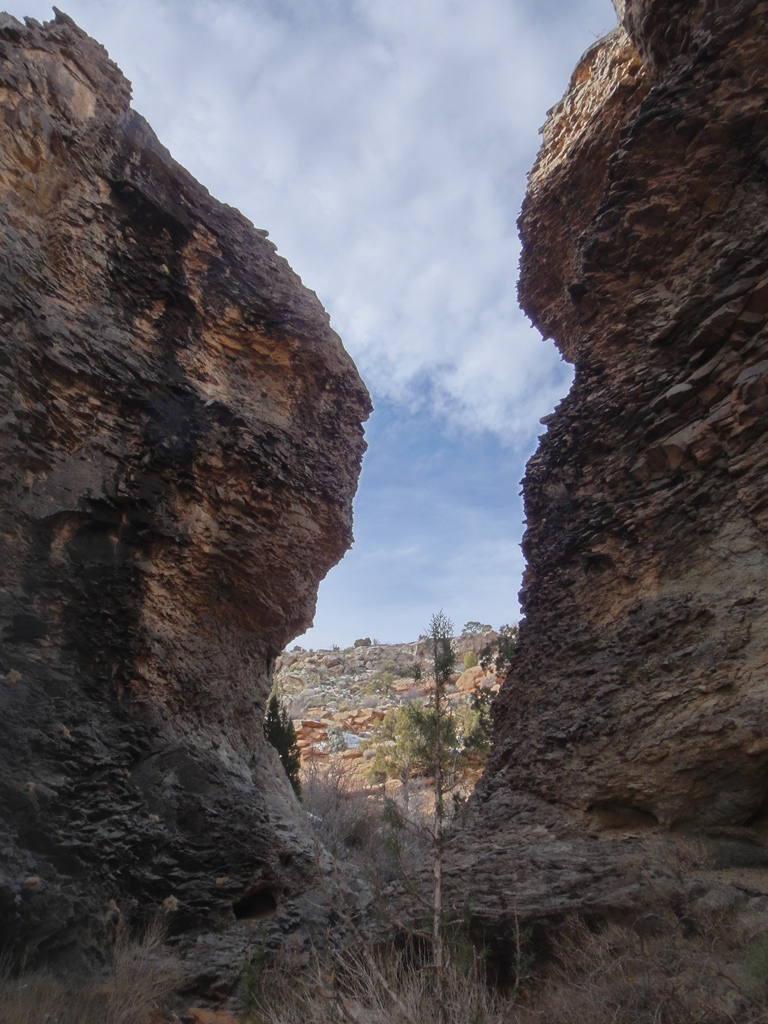
From the trailhead, the cut of Black Table Canyon is clearly visible. Hike down 5 minutes to where you enter an enormous granite bowl. This is easy to climb down into on the left. 2 minutes below this is a second dryfall. Traverse left to a gully to bypass it.

The grand finale comes up 2 minutes past the dryfall, a 12 m ( 40 ft. ) rappel. You will need to build a deadman, or find another suitable anchor for the short rap. Once down, the geology changes from granite to sandstone. Follow the shallow canyon down 15 minutes or so to Maidenwater Spring.

Note: If you don't have two cars, you can exit left after the rappel and climb to the top on the right (looking up canyon, north) side of the canyon.

Photos

Maps

Printable Maps:

Trailhead
12S 535615E 4195989N 37°54'39"N 110°35'41"W
Rappel
12S 536245E 4196074N 37°54'41"N 110°35'16"W
Exit Trailhead
12S 537556E 4195581N 37°54'25"N 110°34'22"W

Comments