
 Little Grand Canyon
Northern Swell
Overview
Named the Little Grand Canyon, the San Rafael River carves an impressive gorge as it flows about 18 miles from Fuller Bottom in the west to the San Rafael bridge. This impressive canyon can be easily viewed from the Wedge Overlook, but to fully experience its grandeur and scale, it is best to spend a day or two traversing it from top to bottom. There are several options for making the 18-mile journey. The easiest is to float the river; however, this option is only available for 2-3 weeks every spring when the spring runoff peaks. The rest of the year, you are relegated to traveling by foot or horseback. If you are floating or traveling by horseback, this is a relatively easy trip to do in a day. If you are hiking, it is a long day, and likely best done as a backpack. The route description gives some suggestions for the best camp spots along the way. If doing an overnight trip, please practice minimum impact camping techniques.
If floating, you need a CFS of at least 100 to pass with a lightly loaded canoe. 150+ CFS is better. At 500+ CFS, you will have a very easy, fast float. The river is rated Class 1+, and has only a few small riffles and obstacles to avoid. The float is suitable for beginning boaters with a little experience. Keep a sharp eye out for trees and other debris that can block the river. The river usually only has enough flow to float in spring runoff. Usually mid-to-late May through early June though some years it never has enough to float. Be cautious if floating for trees that have fallen across the river. Every few years it seems one falls and creates a hazard.
If traveling by horseback or foot, check the river flow before setting off. It should be below 50 CFS for easiest travel. Above that level, crossing could be difficult.
Getting There
Take highway 10 south out of Price for about 28.2 miles.
Route Description
If traveling by foot or horseback, the trail starts across the river, on the south side. It is easy to follow and well traveled. Expect to cross the river many times, especially early on.
If floating, remember this is snowmelt a day or two before you get on it. Those we met trying it using inner tubes were cold, miserable, and not having a good time. The float is easy, but still requires proper equipment. Packrafts, canoes, kayaks, or inflatable kayaks all generally work really well, and we saw a few groups on stand up paddle boards. Life jackets are required by Utah law.
First Panel (3.8 miles)
As you travel down the canyon, keep an eye out on the left for a petroglyph panel. The panel is just beyond where the canyon walls start to rise and is relatively easy to spot from the river if you keep a sharp eye out. The river goes close to a cliff, then veers back right.
Sorrel Mule Mine (4.6 miles)
Just down canyon from the first panel, on the right, is the Sorrel Mine, a copper mine from the late 1800s and early 1900s. The shaft supposedly went almost 2000 feet deep. It can be hard to see from the river, but easy to spot once you climb up the bank.
Salt Wash (5.6 miles)
Salt Wash is the major canyon coming in on the right. There are a few rock art panels up Salt Wash. If time allows, this can be a nice side hike. See the Salt Wash - Western Swell hike for details.
Virgin Spring Canyon (8.7 miles)
Virgin Spring Canyon comes in on the right at about mile 8.7. This area has good spots for camping, a spring, and pool are about 15 minutes up from its mouth. Please clean up any garbage you find, this area is starting to show the impact of the many backpackers and boaters. The mouth of Virgin Spring is littered with recent graffiti; please do not add to it. Just a few minutes up canyon, on the right when looking up canyon, is a fantastic pictograph panel about 15 feet above the canyon floor. I could not find this panel on my first few trips, wrongly assuming it was on the left side. Be sure to take the time to find it, It is astoundingly detailed.
This is a little less than the halfway point, and makes a great lunch spot.
Cane Wash (14.1 miles)
From Virgin Spring Canyon down, you are in the deepest parts of the gorge. High on your left (looking down canyon) is The Wedge Overlook. This stretch of river is spectacular and punctuated by a large wall on your right with a small window in it. If you look high on the cliff, you can spot a pictograph panel here. At this point, the river swings north, then around a bend and back south. The next side canyon on your right is Cane Wash.
Cane Wash is another great area to camp in. If you are filtering river water, let it sit in a container to settle out before running through a filter. There is a nice pictograph panel 3 minutes up Cane Wash on the left, and exploring up the canyon as far as you like makes a nice diversion.
Johansen Corral (18.3 miles)
Cane Wash is the home stretch, with only a few miles left. When Bottleneck Peak becomes visible on your right, the end is near. If you are on foot or horseback, you will end at the parking area. If you are floating and parked a vehicle and Johansen Corral, make sure you don't miss it.
Bridge (20.1 miles)
By boat, continue down until you see the San Rafael Bridge, this is the takeout. There is a reasonable spot to get out on either side just before or after the bridge. River right is usually a bit easier and more popular.
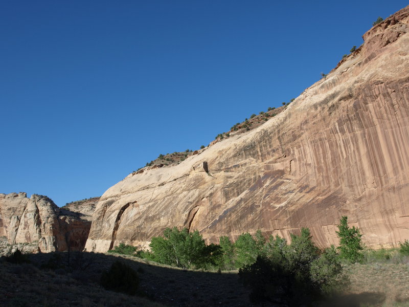
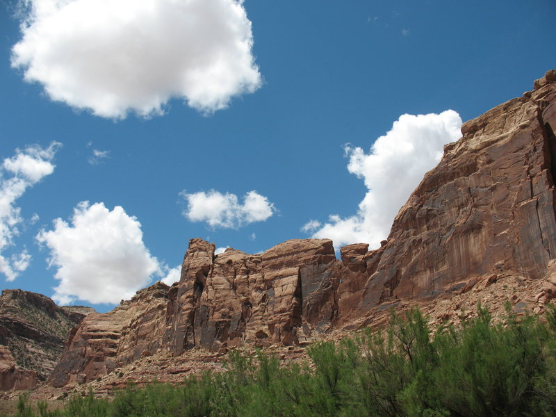
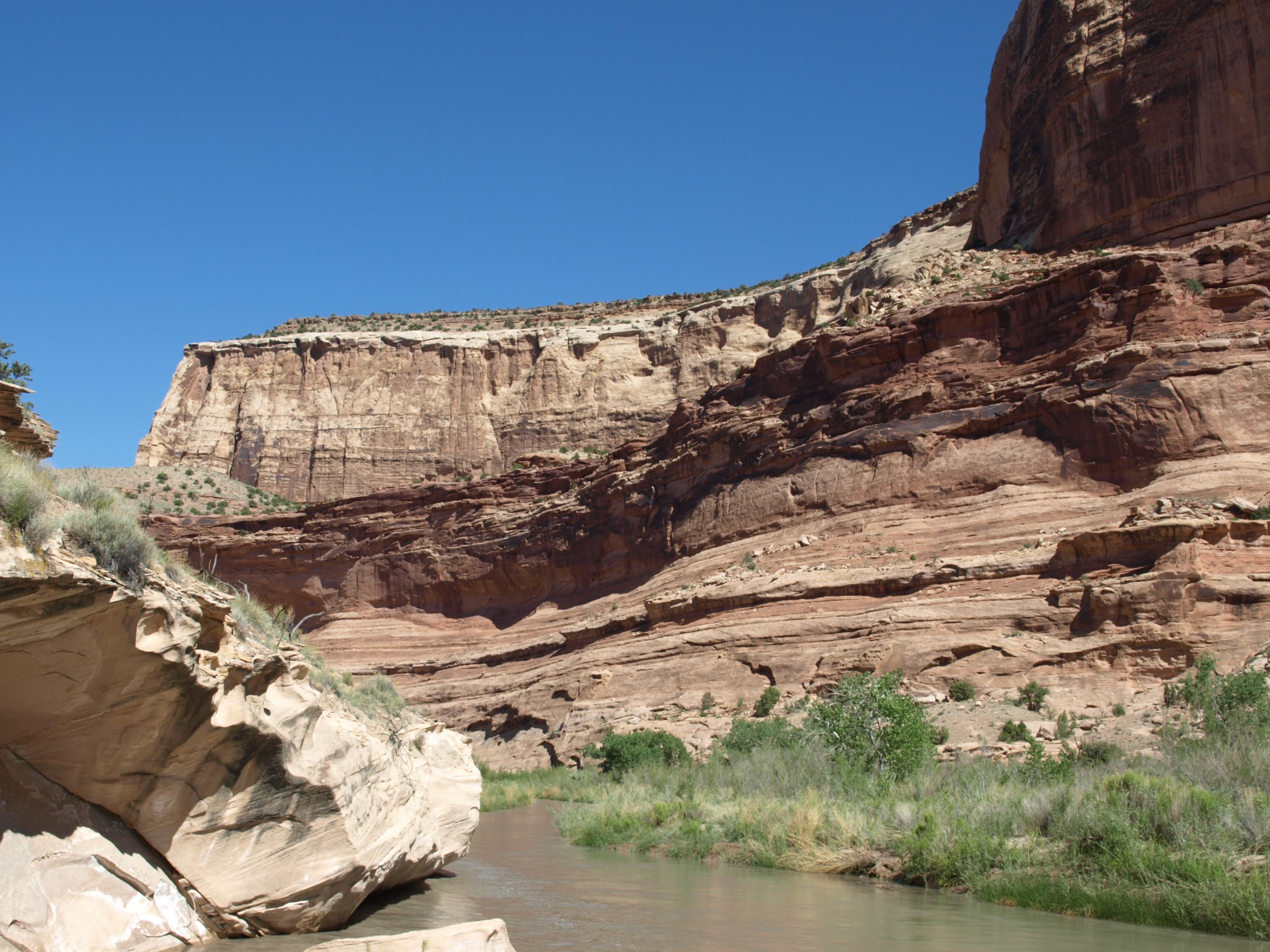
Photos
Videos
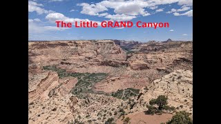
Floating the Little Grand Canyon - Memorial Day 2023.
Maps
")
")
12S 512610E 4329894N
39°07'05"N 110°51'15"W
12S 515263E 4328190N
39°06'10"N 110°49'25"W
12S 515180E 4327193N
39°05'37"N 110°49'28"W
12S 516283E 4326470N
39°05'14"N 110°48'42"W
12S 519336E 4326266N
39°05'07"N 110°46'35"W
12S 519331E 4326028N
39°04'59"N 110°46'35"W
12S 519129E 4325685N
39°04'48"N 110°46'44"W
12S 522464E 4327201N
39°05'37"N 110°44'25"W
12S 523280E 4327118N
39°05'34"N 110°43'51"W
12S 523242E 4327053N
39°05'32"N 110°43'52"W
12S 527245E 4325421N
39°04'39"N 110°41'06"W
12S 528790E 4325822N
39°04'52"N 110°40'02"W