 Roadside Attraction
Willow Springs
Roadside Attraction
Willow Springs
Western Swell
Overview
Tucked along what I would consider to be the very western edge of the San Rafael Swell, Willow Springs is at that transition between the higher elevation terrain to the west and the desert badlands to the east. Sandstone cliffs and boulders dominate the terrain and views.
Willow Springs has quite a history as it was the site of a Civilian Conservation Corps camp from about 1938 to 1942. During the Great Depression, President Roosevelt created the Civilian Conservation Corps (CCC). The CCC was a voluntary work relief program for unmarried men between the ages of 17-28. It provided manual labor jobs that worked to improve natural resources on rural lands owned by the government. Young men could sign up for between 6 months and two years in the CCC to live and work at the CCC camps. In return, they received a monthly salary, housing, food, clothing, and medical care. Their impacts are still very visible in many rural areas today, as they built roads, trails, and other improvements. Before coming to Willow Springs, the areas south, such as the Last Chance desert, were only accessible via horseback. Their labors improved access and agricultural opportunities in the area.
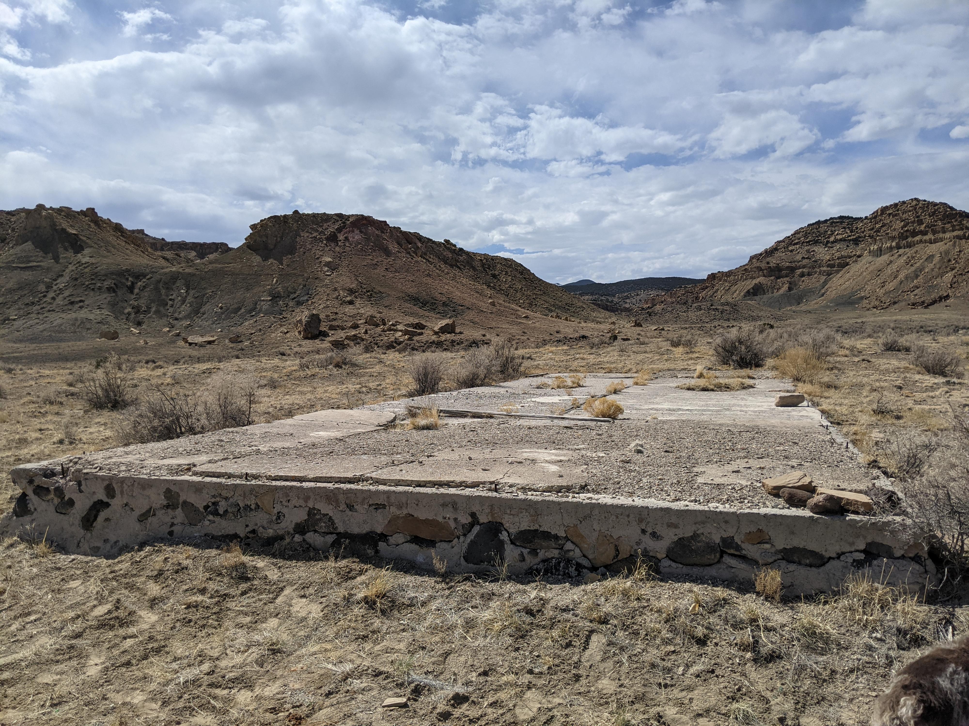
Today only the foundations of the buildings that made up the camp remain, but I found it an interesting place to visit. The camp, in its prime, must have been quite a bustling place!
In addition to the CCC Camp this outing has a few other roadside attractions. There is excellent primitive camping in the area, but it is busier than you may expect. All the attractions described are either roadside or short walks. The main road is usually passable to all vehicles when dry, though the side road to the Boulder Garden may require high clearance.
Getting There
Reaching the trailhead starts at exit 91 from I-70 (signed Price/Loa). This is about 34 miles east of Salina, UT or about 70 miles west of Green River, UT. Once off the highway, on the south side a dirt road leaves on the left. Reset your odometer as you turn onto this dirt road.
Route Description
Rock art and historic sites are fragile, non-renewable cultural resources that, once damaged, can never be replaced. To ensure they are protected, please:
- Avoid Touching the Petroglyphs: Look and observe, BUT DO NOT TOUCH!
- Stay on the Trails: Stay on the most used trails when visiting sites, and don't create new trails or trample vegetation.
- Photography and Sketching is Allowed: Do not introduce any foreign substance to enhance the carved and pecked images for photographic or drawing purposes. Altering, defacing, or damaging the petroglyphs is against the law -- even if the damage is unintentional.
- Pets: Keep pets on a leash and clean up after them.
- Artifacts: If you happen to come across sherds (broken pottery) or lithics (flakes of stone tools), leave them where you see them. Once they are moved or removed, a piece of the past is forever lost.
Willow Springs Overlook and the Boulder Garden
The overlook makes a fantastic campsite. Big views of Willow Springs Wash below and Mussentuchit area to the south.
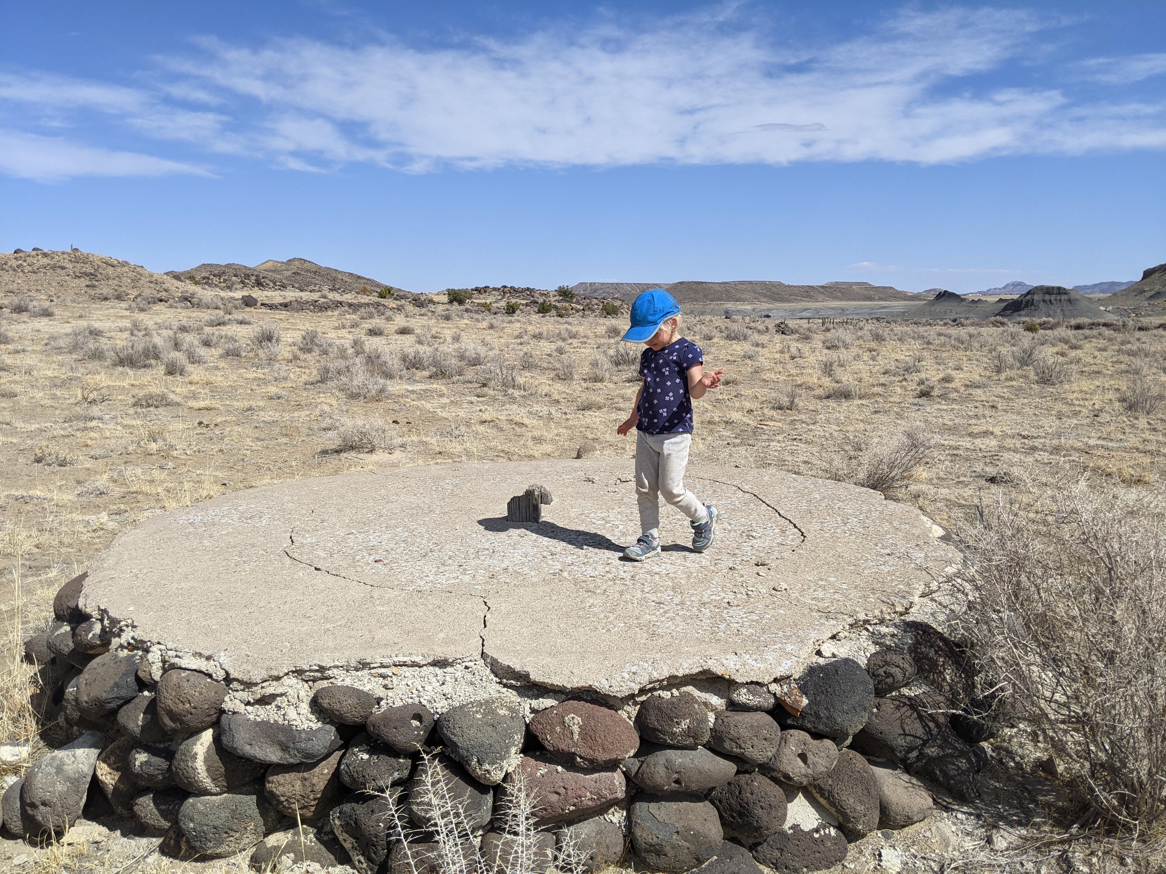
The end of the road is at an area of large (house size) sandstone boulders. The area also makes a great campsite and, at least on our visit, had a well cairned social trail weaving around the maze of boulders. This is an excellent place for kids to play among the boulders. Our 4-year-old thoroughly enjoyed finding the many different paths through the boulders.
Rock Art Panel
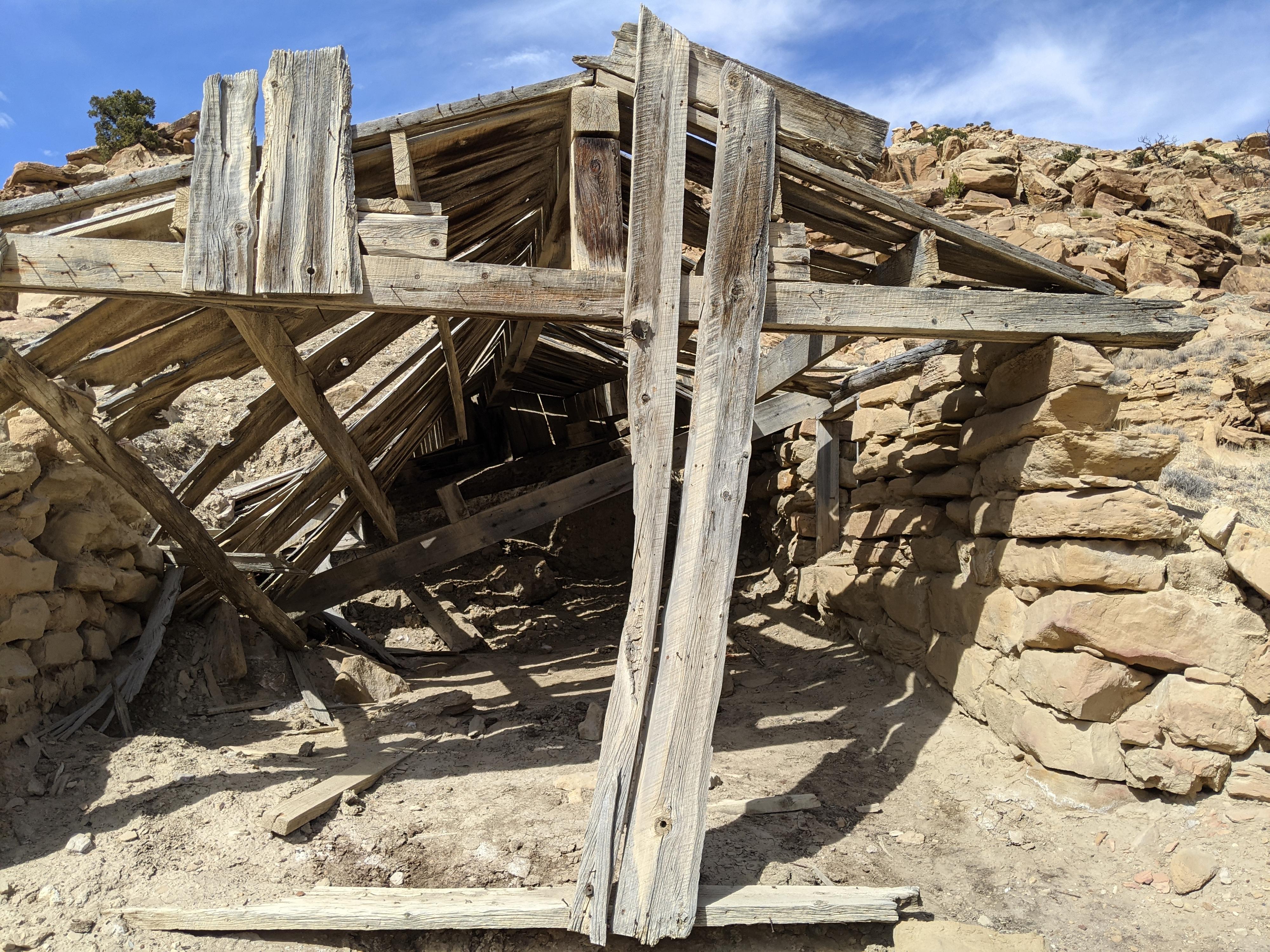
There is a pictograph panel just after the fallen down building on the left side of the road. It is under an overhang and clearly visible from the road. There was some debate in our group if this was an authentic pictograph, or something more modern. I vote for authentic, but after much poking around, I couldn’t find any other rock art nearby.
Corral and CCC
At about 6.2 miles there is a large corral on the left side of the road. I assume this was part of the CCC camp built in 1938. At the CCC turnoff (6.5 miles from the highway), the spur road is quite rough. It is a short walk to visit from the main road. Several immense foundations are visible and what appear to be old sidewalks or paths.
A mile beyond the CCC camp, the road forks. Left heads toward Mussentuchit, while right heads toward Last Chance Desert. There are a few good primitive camping sites near this junction, and quite a few good primitive campsites on the right (Last Chance) road.
Photos
Maps

12S 475030E 4287309N
38°44'03"N 111°17'14"W
12S 475237E 4288369N
38°44'37"N 111°17'06"W
12S 472920E 4286114N
38°43'24"N 111°18'41"W
12S 473022E 4286088N
38°43'23"N 111°18'37"W
12S 474408E 4284935N
38°42'46"N 111°17'40"W