
 Rocky Mouth Falls
Wasatch Front
Overview
Close to Salt Lake City, with a short approach, Rocky Mouth Falls is a great place to visit with the family. In hotter times of the year, it is also an excellent short canyoneering adventure to cool off.
Getting There
The trailhead is just off of Wasatch Boulevard at about 11300 South. This a few miles south of Little Cottonwood Canyon. The easiest way to reach the trailhead is by taking Wasatch Boulevard south from Little Cottonwood. The Rocky Mouth trailhead is signed on the left (east) side of the road, and has parking for a dozen or so cars. (Just south of 11300 South.) (12T 431712mE 4488797mN)
Route Description
From the trailhead follow the trail as is ascending a long set of wooden steps to the road. Once on the road, go right, following it as it curves up and around to the left. The trail goes off the road on the right most of the way through the curve and is signed.
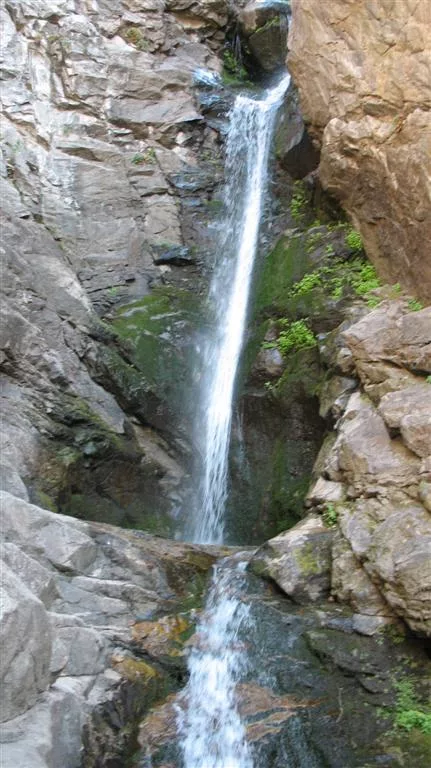
Once on the dirt trail, follow it as it ascends to the waterfall. This section should take about 10-15 minutes. Total time to the waterfall is about 20-30 minutes and makes a great short family hike. (12T 431896mE 4488424mN)
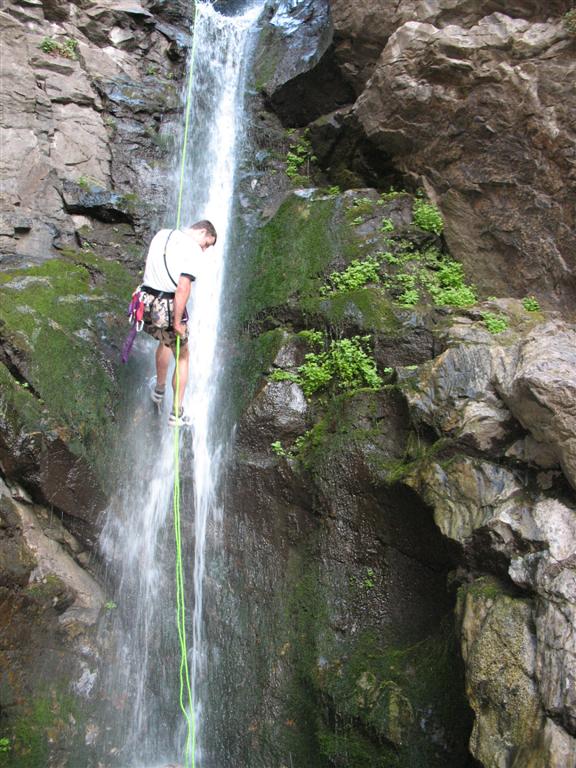
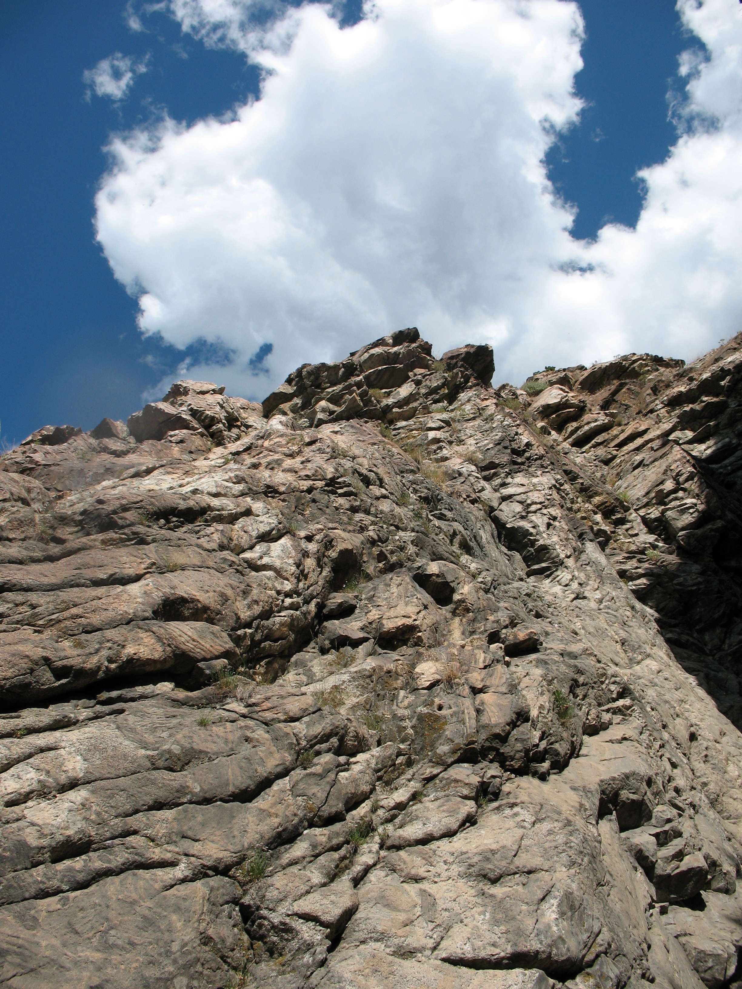
For the technically inclined, it is possible to rappel the waterfall. Start by climbing the steep dirt trail left of the waterfall (looking up canyon). Hike up the steep trail to where it begins to fade a bit, and traverse right on the rock around the arete. This section should be no harder than class 4 if good route finding skills are used. Once around the arete, climb back down to the canyon bottom and top of the waterfall.
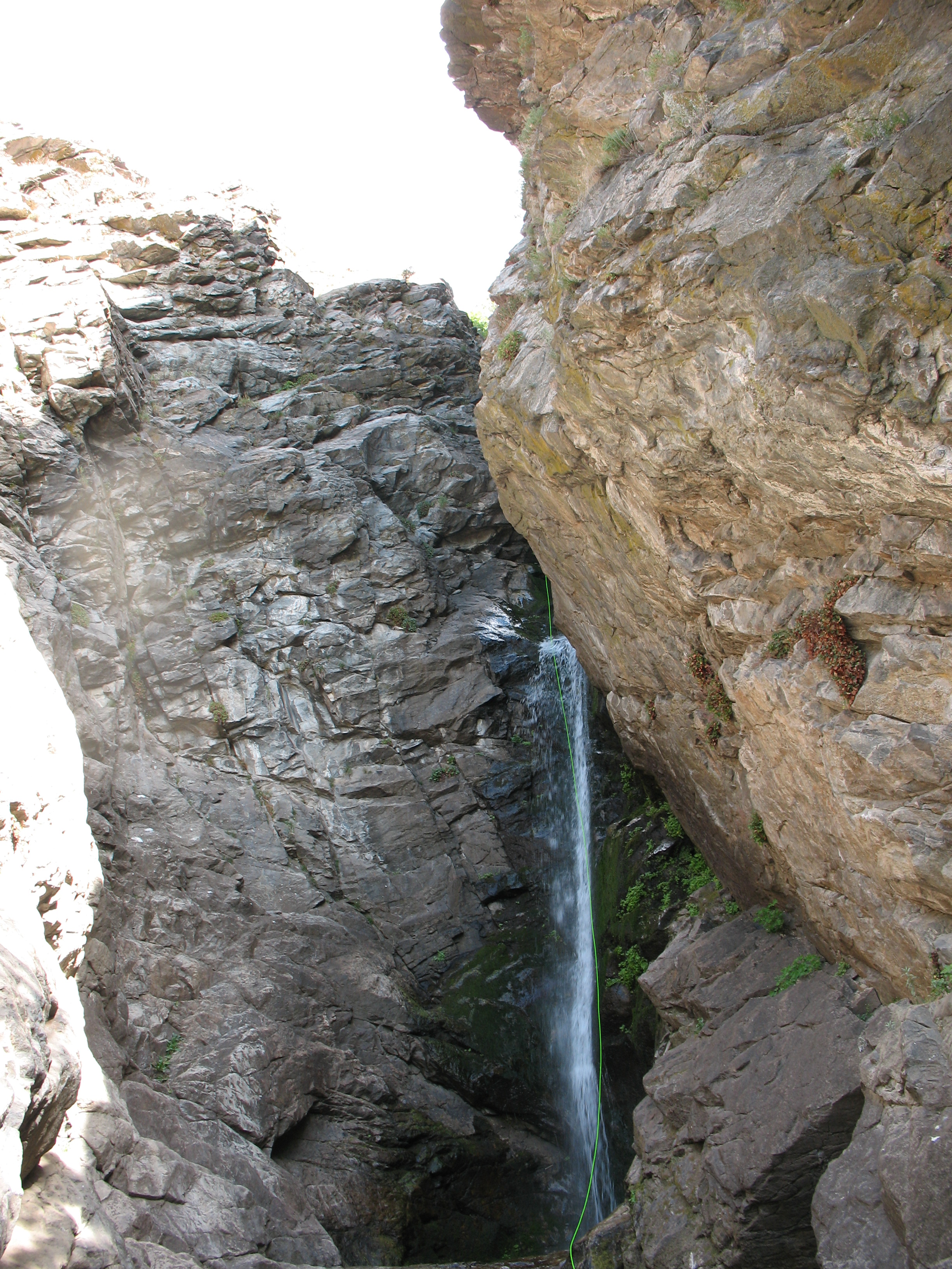
The waterfall can be rapped in 2 stages. The first rappel is about 10 m ( 33 ft. ) off a tree, and down over a large boulder. At the base of the large boulder, a pinch is used for the second stage rappel anchor. This rappel is about 25 m ( 83 ft. ) over another large boulder and down a chute. Magnificent!
Return the way you came.
Photos
Videos

Rocky Mouth Falls

Rocky Mouth Falls with High Flow
Maps

12T 431709E 4488796N
40°32'50"N 111°48'23"W
12T 431930E 4488364N
40°32'36"N 111°48'14"W