 Hiking
Silver Fork
Hiking
Silver Fork
Big Cottonwood Canyon
Overview
The small community of Silver Fork, surprisingly to me, started as a logging community in the mid-1800s. In the 1870s, prospecting was beginning to engulf the area. Many mines cropped up in the canyon above the town, and the area became known as Silver Fork. As prospecting faded, recreation soon entered the canyon. Since those early days, Silver Fork has been a small community in Big Cottonwood Canyon.
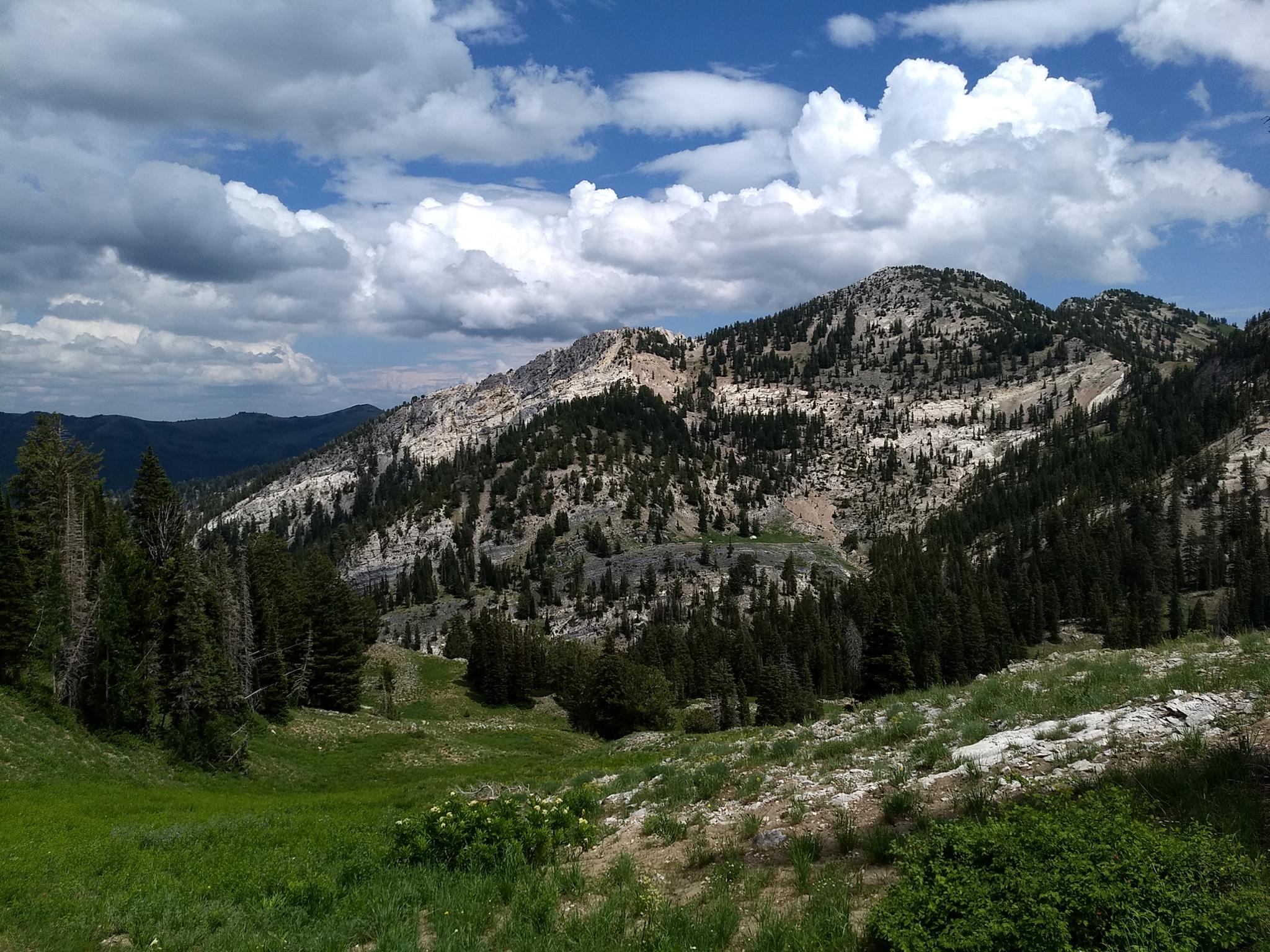
This hike visits Silver Fork Canyon, above the community. The canyon was the site of many mines and is currently a mix of public and private lands. The trail meanders up the canyon, taking in the scenery and many mines. Though the first part of this hike is through the community of Silver Fork and on roads, don't let that deter. It is a pretty hike. Spring will find wildflowers galore; fall will have excellent views of autumn colors.
Getting There
Big Cottonwood Canyon is on the east side of the Salt Lake City Valley. Get there by taking I-215 to the east, taking exit 6 off the interstate and heading east.
Follow 6200 South which becomes Wasatch Blvd for 1.8 miles to the stop light and signs for Big Cottonwood Canyon.
Turn left at the light and reset your odometer.
Drive up Big Cottonwood Canyon. The trailhead is 12.2 miles up the canyon at Solitude Entrance 1. The trail starts on the west side of the parking lot.
Route Description
Enter the ski resort and go to the west end of the parking lot. Follow the Queen Bess single track trail marked with a blue marker. It goes under the ski lift, then branches. Go straight at the junction, reaching a paved road a minute after. On the paved road, turn left and follow it as it winds its way through the community of Silver Fork. It soon turns to dirt and reaches a closed gate with a trail information sign.
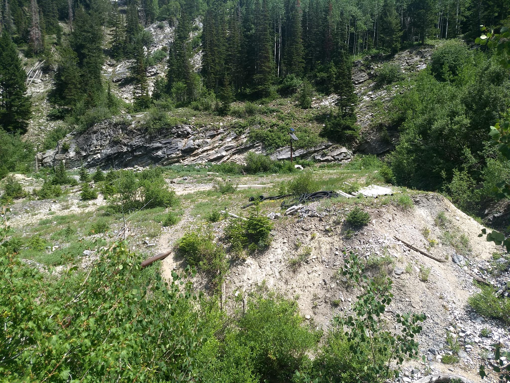
Follow the dirt road as it ascends Silver Fork, staying on it and ignoring side trails along the way. At a Y junction, the dirt road goes left, but the well-used trail goes straight/right. Both end up at the mine, stay right.
The trail goes south, then east where a side trail visits the mine. After the mine side trail, the main trail continues south, crosses the creek, and turns from an old road to a single track.
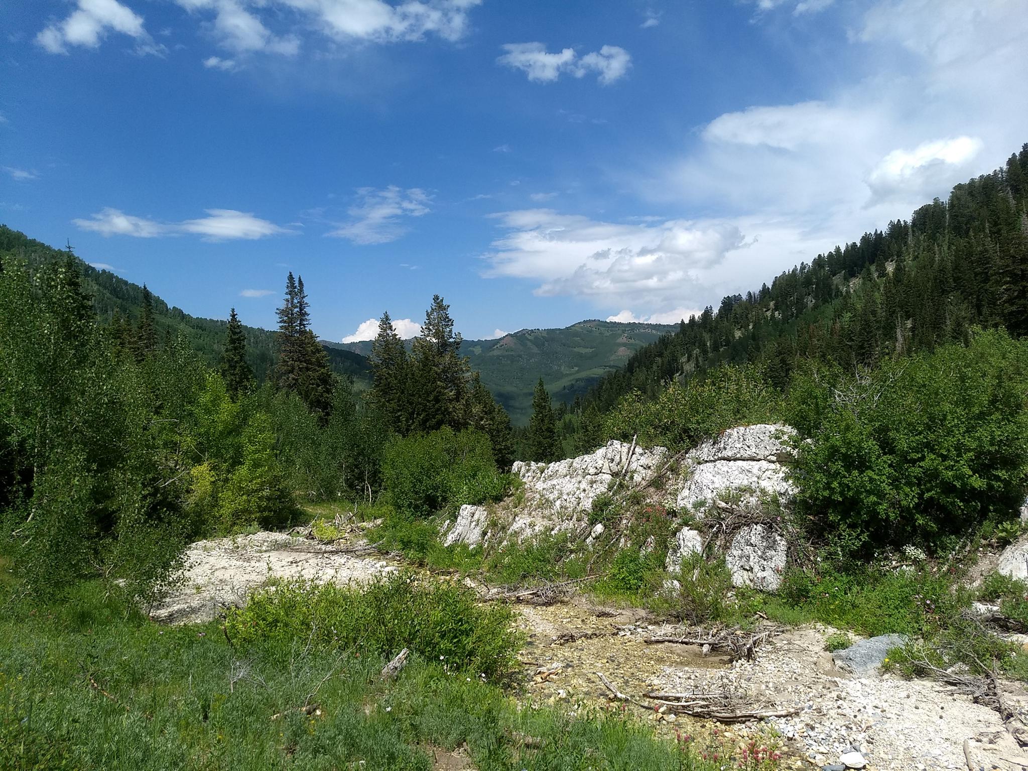
As it parallels the stream in Silver Fork, the stream is deeply cut into the canyon bottom right of the trail. When the trail and creek reach the same level, there is a junction.
West Fork
Going right at the junction crosses the stream, then climbs steeply into the West Fork. The head of the fork is an immense grassy basin, and very scenic. If you are interested in making a loop down Days Fork, an old faint trail climbs out of the basin to intersect a well-used trail where it begins descending into Days Fork. See the Days Fork write-up for more information on Days Fork.
East Fork
Left climbs steeply into the East Fork where the trees subside, and the views open up. Old mining roads and trails can be used to climb up to Prince of Whales Mine or the Little Cottonwood Ridge, though most return after visiting some of the mines in the lower area.
Photos
Maps

12T 449500E 4497294N
40°37'30"N 111°35'50"W
12T 448958E 4497446N
40°37'35"N 111°36'13"W
12T 447443E 4496341N
40°36'58"N 111°37'17"W
12T 447418E 4495955N
40°36'46"N 111°37'18"W
12T 447473E 4495940N
40°36'45"N 111°37'15"W
12T 447263E 4495005N
40°36'15"N 111°37'24"W