 Hiking
Thurston Peak
Hiking
Thurston Peak
County Highpoint
Overview
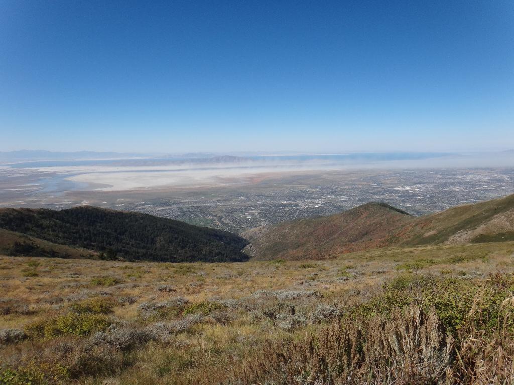
Thurston Peak is the highpoint of both Davis and Morgan counties and offers a relatively easy highpoint near the Wasatch Front. A high clearance vehicle is recommended for reaching the trailhead, though not usually required. Beware, the road is steep and narrow in spots. It is narrow enough it makes passing oncoming vehicles a bit hair-raising and is the most exciting part of the day. Once on the summit, it offers great views of the Great Salt Lake, Wasatch Front, and Morgan areas. Highly recommended.
Getting There
The peak is above Farmington. To reach the trailhead from I-15 heading north:
- Take exit 322 for UT-227/Lagoon Dr toward Farmington
- Go 0.3, Keep right at the fork, follow signs for UT-225 and merge onto UT-227/S 200 W
- 1.0, Turn right onto State St
- 1.2, Take the 2nd left onto N Main St
- 1.9, Turn right onto E 600 N
- 2.0, Turn left onto N 100 E/Farmington Canyon Rd/N Skyline Dr. Continue to follow N Skyline Dr, resetting your odometer here. The road turns to dirt shortly and begins its steep switchback climb. Be very cautious of other vehicles and ATV traffic, especially on the weekends.
- 7.9, junction, go left.
- 8.8, junction, left.
- 12.3, Junction with a side road going off to the right and becoming rougher. This is the recommended trailhead. The left fork goes to the radio tower.
Route Description
Summit: 2958 m ( 9705 ft. )
Trailhead: 2796 m ( 9174 ft. )
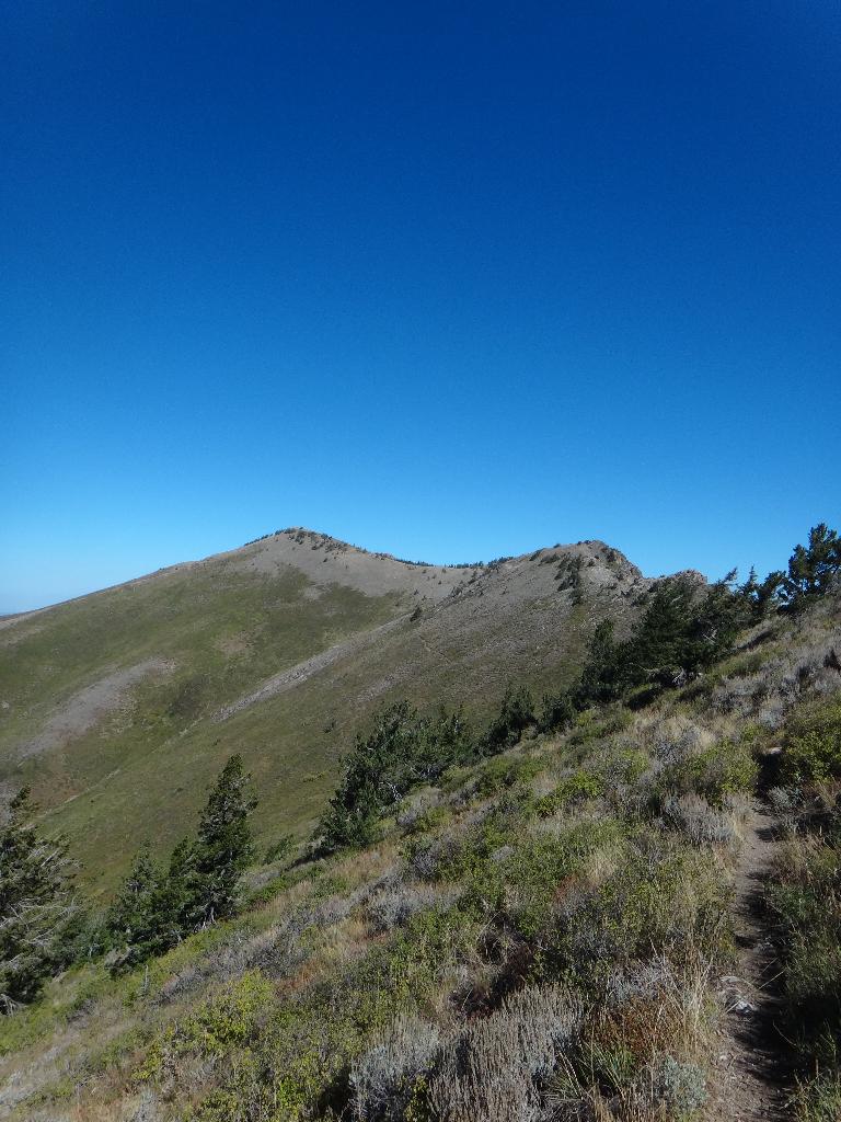
From the recommended trailhead, follow the dirt road on the east side of Francis Peak. On the north side of Francis Peak, it comes to a junction. Go left, taking other lefts along the way. The road ends after 1.8 miles (40 minutes), and becomes a single track trail.
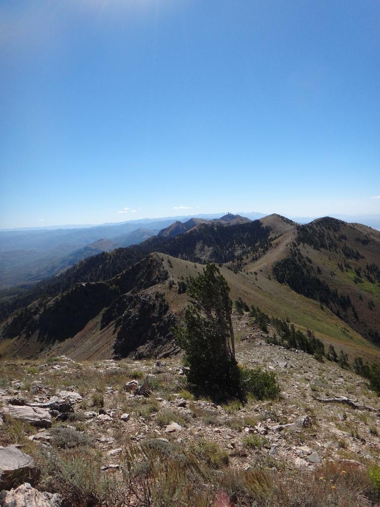
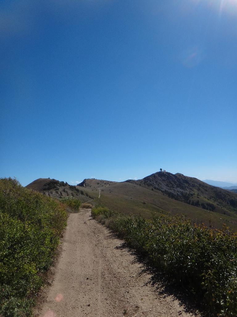
Follow the single track as it runs the ridge line, starting on the west side, then crossing over to the east side to avoid several sub-peaks. About 2.5 miles (60 minutes from the end of the road), Thurston is on the right, with the trail making a fairly level traverse along its east side. Leave the main trail and follow a social trail up the south ridge to the true summit. (Many options.)
The top offers great views to the west of the Great Salt Lake, Antelope Island, and Wasatch Front.
Maps

12T 429529E 4542142N
41°01'39"N 111°50'18"W
12T 428923E 4544657N
41°03'00"N 111°50'45"W
12T 428518E 4548207N
41°04'55"N 111°51'04"W