 Hiking
La Verkin Creek
Hiking
La Verkin Creek
Kolob Canyon Area
Overview
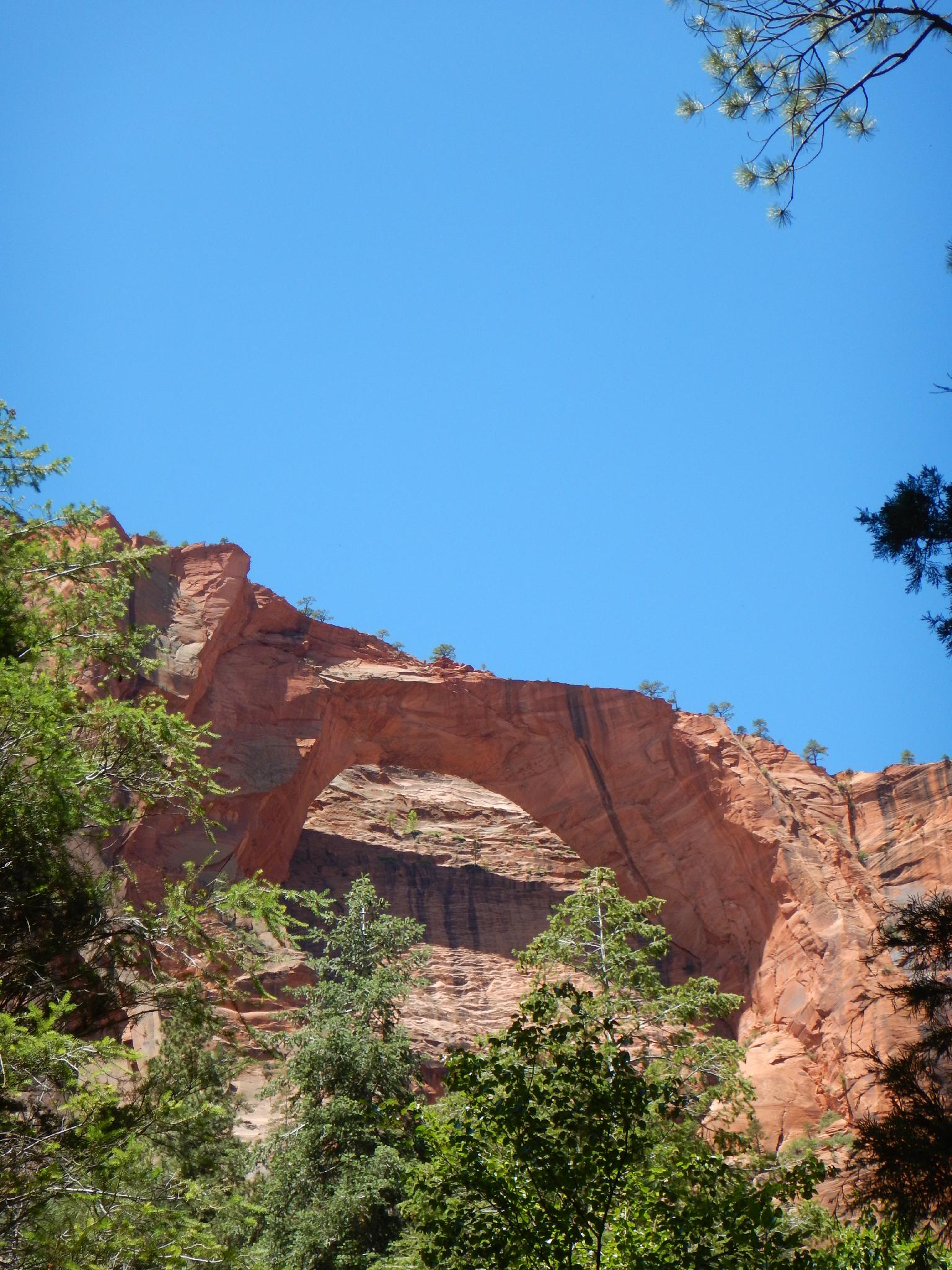
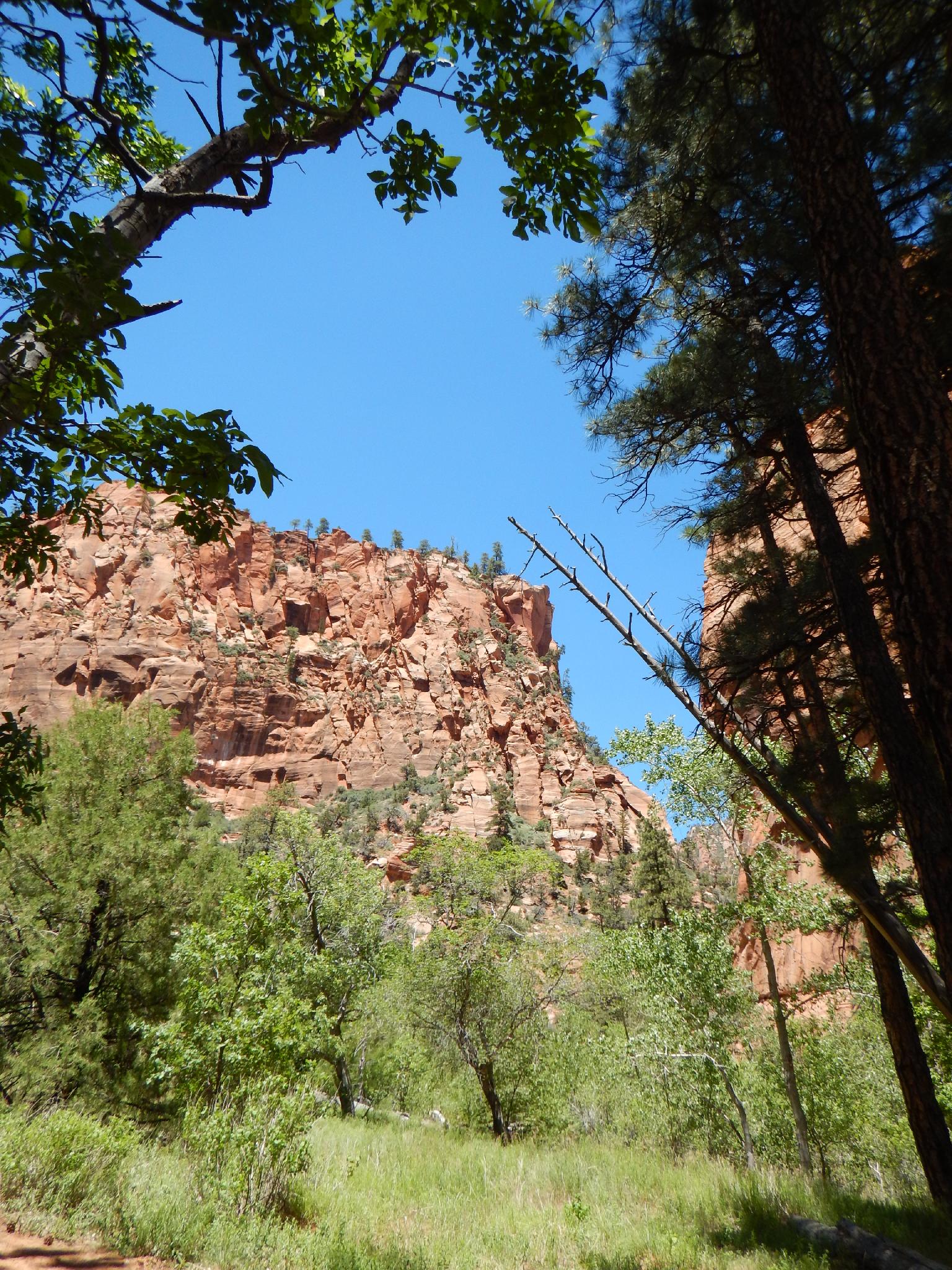
The La Verkin Creek trail offers a stunning, and long day hike to the Kolob Arch viewpoint. Until the early 21st century, Kolob Arch was believed to be the worlds largest free standing arch. At 287.4 feet, the arch is now considered the second longest spanning arch in the world, behind Landscape Arch in Arches National Park. Reaching the viewpoint is a long hike, about 14 miles and 1000' of gain, and not a day hike to take lightly. Much of the hike will be in full sun, bring at least 3 quarts and start early in hot times of the year. The views of the arch and La Verkin Creek along the way are well worth it.
Unfortunately for day hikers, La Verkin Creek begins getting more and more stunning just when the view point junction is reached and most day hikers will want to turn around! Those more interested in backpacking can make a higly recommended 2-3 day trip and see most of the area. An itinerary I would recommend would be to hike down to about the junction on the first day, leave packs, explore up La Verkin Creek as far as desired, then visit the arch and hike out on day 2. Those with 3 days could easily spend an entire day exploring up La Verkin Creek to Bear Trap and Willis canyons, then hike out on the third day before it gets hot.
The early campsites, 1-3, may not have water if Timber Creek is not flowing. Be sure to ask at the Ranger Desk if you reserve one of those campsites.
Getting There
This canyon is in the Kolob Canyons area of Zion National Park, which is just off of exit 40 on I-15. This is about 20 miles south of Cedar City Utah. If coming from the main part of the park, go west on highway 9 about 17 miles to the town of La Verkin, then go north on UT-17 about 5 miles to I-15. Follow I-15 north for 12 miles to exit 40.
From the visitor center just off the highway, go into the park on the scenic drive for 3.7 miles to Lees Pass. The trailhead and parking area are on the left.
Route Description
To Arch Viewpoint Junction (6 miles)
From the trailhead, follow the trail as it descends the ridge to the bottom of Timber Creek. Most seasons the creek is not flowing. Follow it down, with the trail leaving Timber Creek and crossing the wooded shoulder to La Verkin Creek after a few miles. La Verkin Creek should always be flowing. A small falls right near where the trail joins the creek is a nice break spot.
It is a couple of miles up La Verkin Creek to the signed junction to Kolob Arch. The better campsites begin in here, with several clustered near the junction.
To Arch Viewpoint (0.5 miles each way)
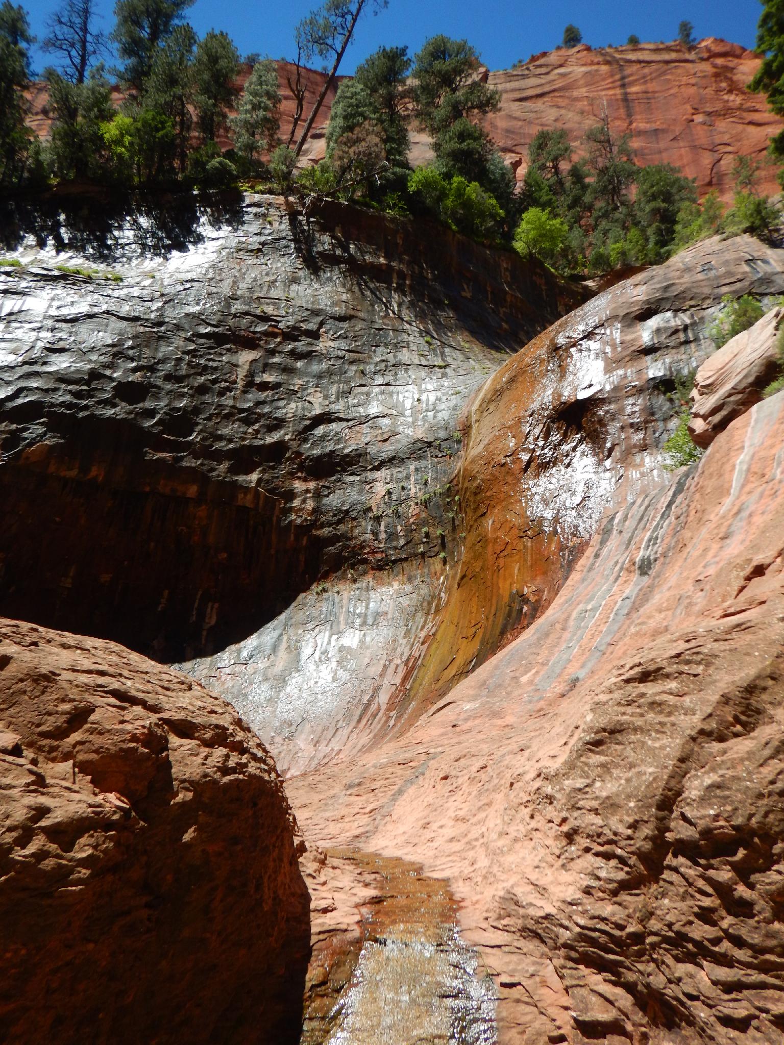
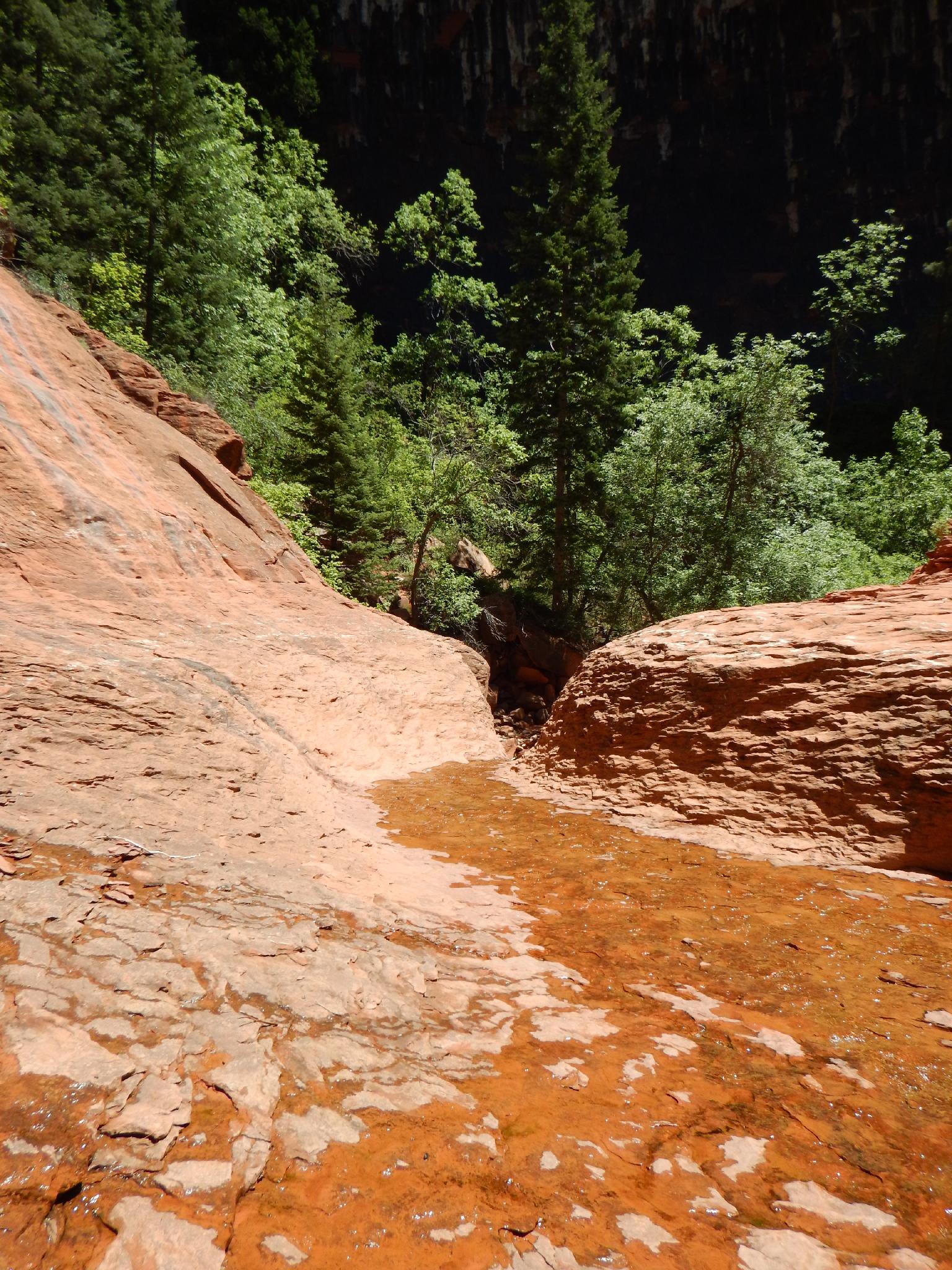
From the junction it is 0.5 miles and a few hundred feet of elevation gain up the trail to the viewpoint for Kolob Arch. Motivated hikers can continue up the canyon bottom an additional 0.5 miles one way from the arch viewpoint to a series of picturesque cascades, though the going is rougher and requires scrambling and route finding around boulders. Day hikers will likely want to return the same way.
To Bear Trap / Willis Creek (2.5-3 miles)
Backpacking? Or a very motivated day hiker? Continuing up La Verkin Creek is a treat. The trail crosses shortly above Arch View junction, and reaches the junction that goes south to Hop Valley. Stay left here, and continue up along the creek. The trail crosses many times, with generally easy stone hops needed to stay dry. The higher reaches close in, and become very colorful.
Bear Trap Canyon is the first major side canyon on the right you will encounter several miles above the Hop Valley junction, and will likely be flowing. There is a waterfall a short distance up canyon that makes a good turn around spot.
If continuing up La Verkin Creek from Bear Trap, it isn't far to Willis Creek, where the trail bends to the right, ascends Willis, and ends at the National Park Boundary.
Maps


12S 306136E 4147179N
37°27'04"N 113°11'30"W
12S 309552E 4143938N
37°25'22"N 113°09'08"W
12S 309649E 4143173N
37°24'57"N 113°09'04"W
12S 310069E 4143286N
37°25'01"N 113°08'47"W
12S 305704E 4144008N
37°25'21"N 113°11'45"W
12S 305838E 4143085N
37°24'51"N 113°11'38"W
12S 305583E 4142329N
37°24'27"N 113°11'48"W
12S 307437E 4142256N
37°24'26"N 113°10'33"W
12S 307945E 4142596N
37°24'37"N 113°10'12"W
12S 308186E 4142689N
37°24'40"N 113°10'03"W
12S 309361E 4143151N
37°24'56"N 113°09'15"W
12S 309578E 4143154N
37°24'56"N 113°09'06"W
12S 309730E 4143217N
37°24'58"N 113°09'00"W
12S 310355E 4143299N
37°25'02"N 113°08'35"W
12S 310669E 4143620N
37°25'12"N 113°08'22"W
12S 311709E 4144855N
37°25'53"N 113°07'41"W
12S 311859E 4144867N
37°25'54"N 113°07'35"W
12S 312686E 4145981N
37°26'30"N 113°07'03"W
12S 309613E 4144751N
37°25'48"N 113°09'06"W