 Hiking
Ben Lomond Peak
Hiking
Ben Lomond Peak
Cutler Basin
Overview
At 9,716, Ben Lomond Peak is a popular peak to summit in the northern Wasatch. There are many routes to the summit. Of the two I have done, Skyline North Trail and this one, Cutler Basin, this one is the shorter of the two. Both Skyline and Cutler gain about the same amount of elevation, so the difference comes down to how steep of a hike you want.
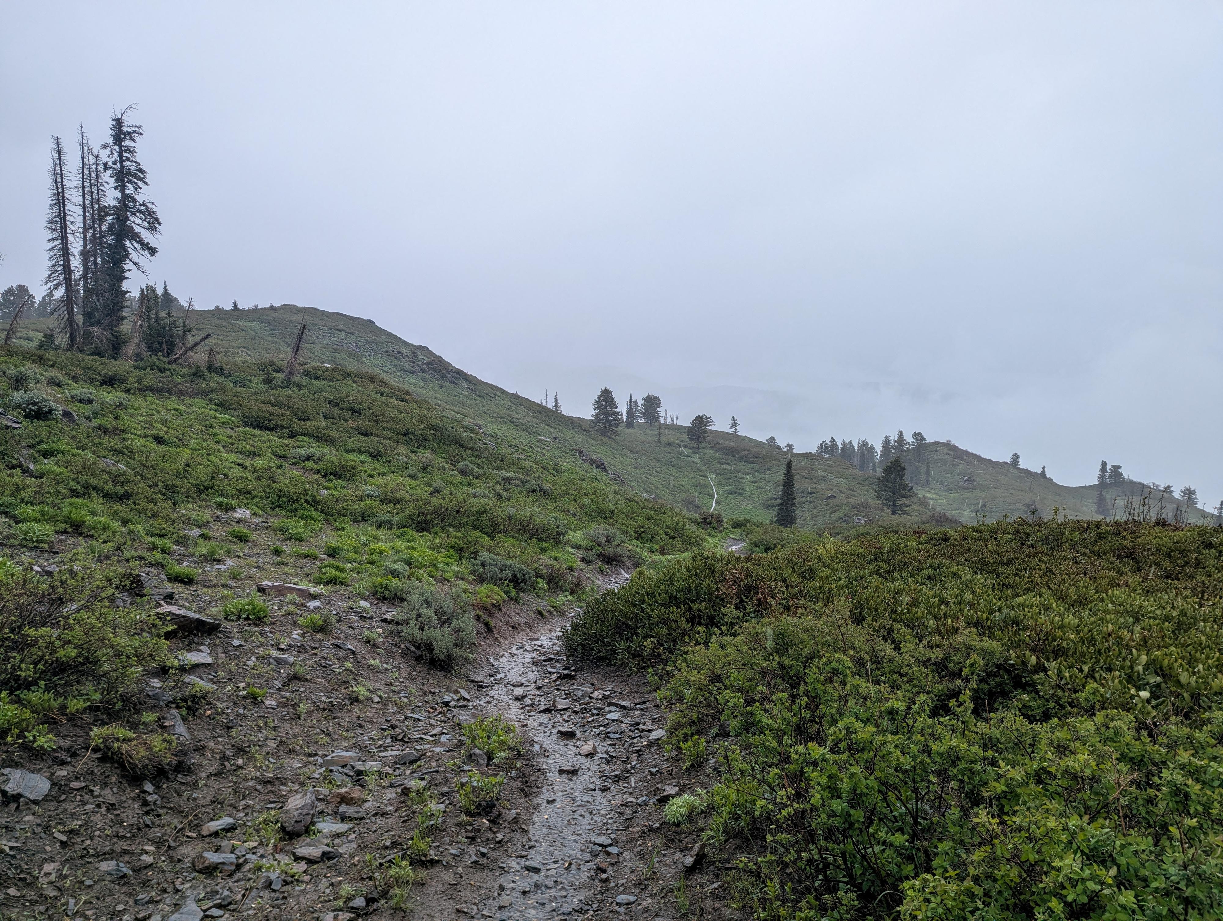
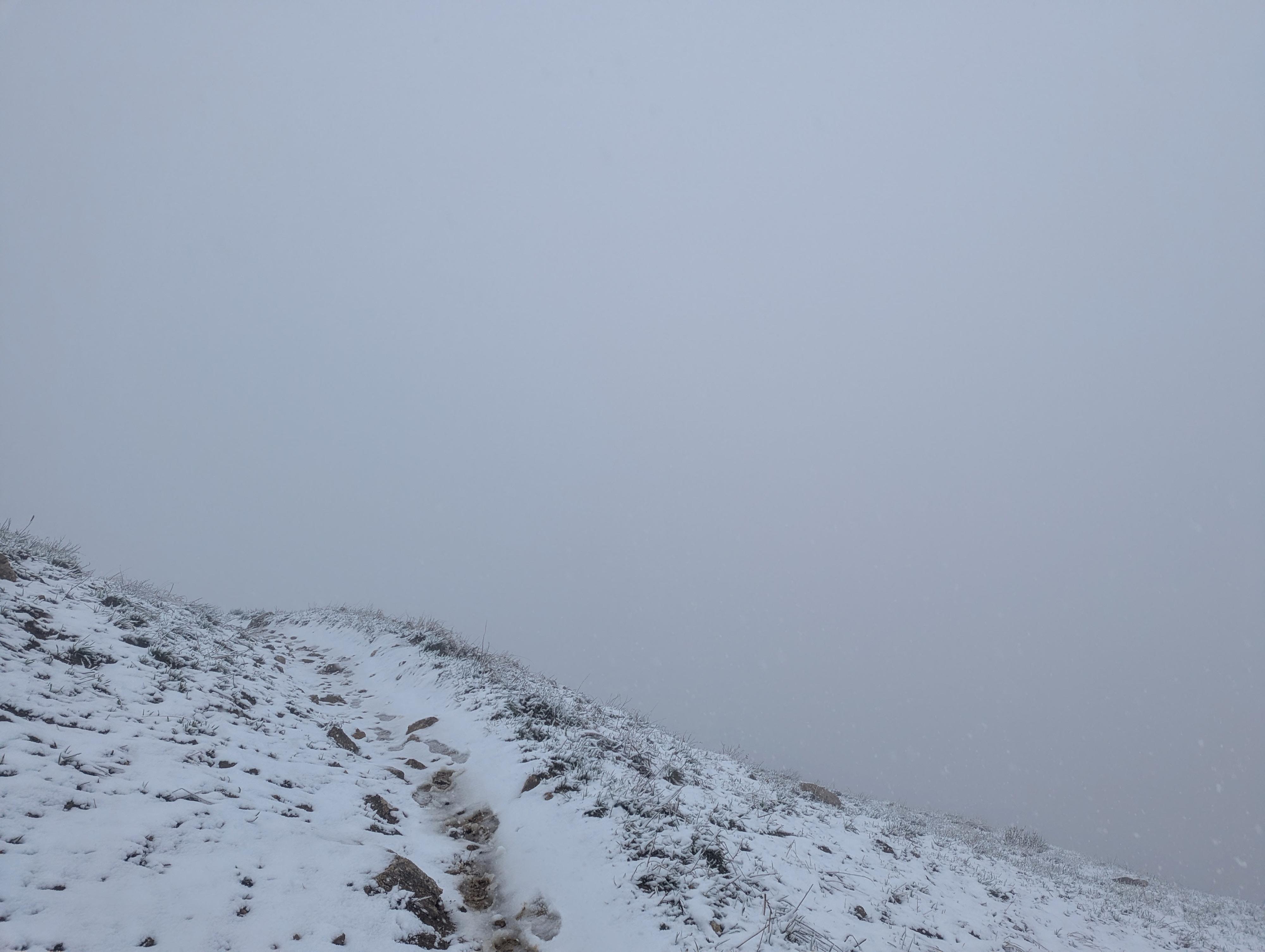
This route, Cutler seems to get much less traffic than Skyline. If you are looking for solitude, choose this route. It also has, at least to me, a more wilderness feel. I visited on a pouring and snowy late spring day and didn't get many pictures, but the wildflowers and scenery were stunning. I didn't see any on my trip, but moose are often sighted along the trail.
The length was about 11 miles and 3,700' of elevation gain by my device. It is steep, with long sections without shade. Be sure to bring plenty of water!
Ben Lomond was named by mid-19th-century Scottish Mormon pioneers who noticed its striking resemblance to the famous Ben Lomond peak near Loch Lomond in Scotland. The name is derived from the Scottish Gaelic Beinn Laomainn (meaning "Beacon Mountain")
The peak is equally famous for inspiring the iconic Paramount Pictures "Majestic Mountain" logo. In 1914, Ogden native and movie theater pioneer William W. Hodkinson doodled the original design on a scrap napkin during a studio meeting, drawing the star-circled, snow-capped peak entirely from his childhood memories of Ben Lomond. While modern CGI updates have since stylized the logo to closely resemble sharper peaks like Peru's Artesonraju, the cinematic icon's DNA belongs firmly to the Utah landmark.
Getting There
The trailhead is in North Fork Park, which is north of the small town of Liberty. The park has 3 entrances, it is easiest to enter the North Entrance, which is the third entrance you will come to.
From Liberty:
Start: Head toward N 3500 E
Turn right onto N 3300 E (go 1.4 mi)
Slight left onto N Fork Rd (go 2.7 mi)
Turn left onto E 6890 N. This is the NORTH Gate of North Fork Park. (go west for about 0.6 mi to a junction)
Turn left (go 0.2 mi to another junction on a bend.)
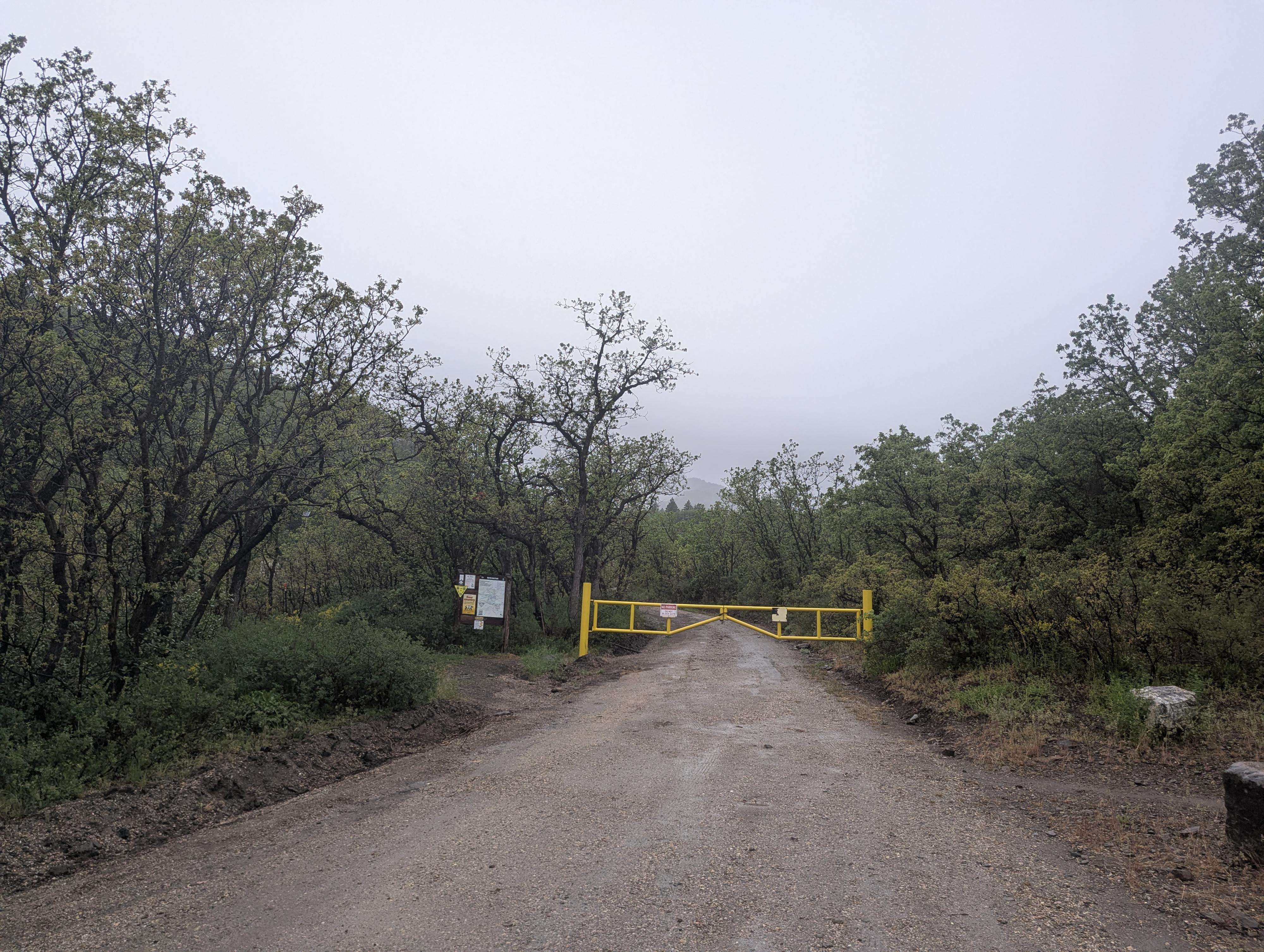
Turn right. There is a gate a short distance up this road that is closed. Park before the gate, off the road and not blocking the gate. This is the trailhead.
Route Description
From the trailhead, go through the gate, and stay on the dirt road as it heads uphill. You will come to a yurt in just a few minutes. From the yurt, a small wooden sign denotes the Ben Lomond Trail, which is a single-track trail leaving at the parking area for the yurt. As you follow the trail up, you will come to two 4-way intersections where a bicycle trail crosses the trail. In both cases, stay straight, continuing uphill.
About 0.6 miles from the trailhead, the trail bends to the right, crosses the drainage, and then begins climbing more earnestly.
About 2.6 miles from the trailhead, an unsigned junction is reached. Right goes about 1/4 of a mile to Cutler Spring. Go left instead.
The trail continues climbing, reaching a junction in about 1/2 mile with the other Ben Lomond trail that leaves from North Fork Park. Stay right.
The trail climbs steeply through a series of switchbacks. After the switchbacks, a spring is passed, and the junction with the Skyline Trail is reached. (about 4 miles from the trailhead). Go right on the Skyline Trail. Ben Lomond is the prominent peak just northwest of the trail.
The trail heads up to the summit via numerous sweeping switchbacks. As a hiker, the switchbacks seem a bit overdone, but remember it is a multi-use trail! The summit, on a clear day, has big views all around.
Return the same way.
Photos
Maps

12T 423088E 4581673N
41°22'58"N 111°55'11"W
12T 422860E 4581779N
41°23'02"N 111°55'21"W
12T 420589E 4580363N
41°22'15"N 111°56'58"W
12T 420291E 4580257N
41°22'12"N 111°57'11"W
12T 420676E 4579910N
41°22'00"N 111°56'54"W
12T 420710E 4579473N
41°21'46"N 111°56'53"W
12T 420592E 4579426N
41°21'45"N 111°56'58"W
12T 419644E 4579522N
41°21'48"N 111°57'39"W